Dry Canyon South - FS 23004
Total Miles
6.4
Technical Rating
Best Time
Spring, Summer, Fall
Trail Type
Full-Width Road
Accessible By
Trail Overview
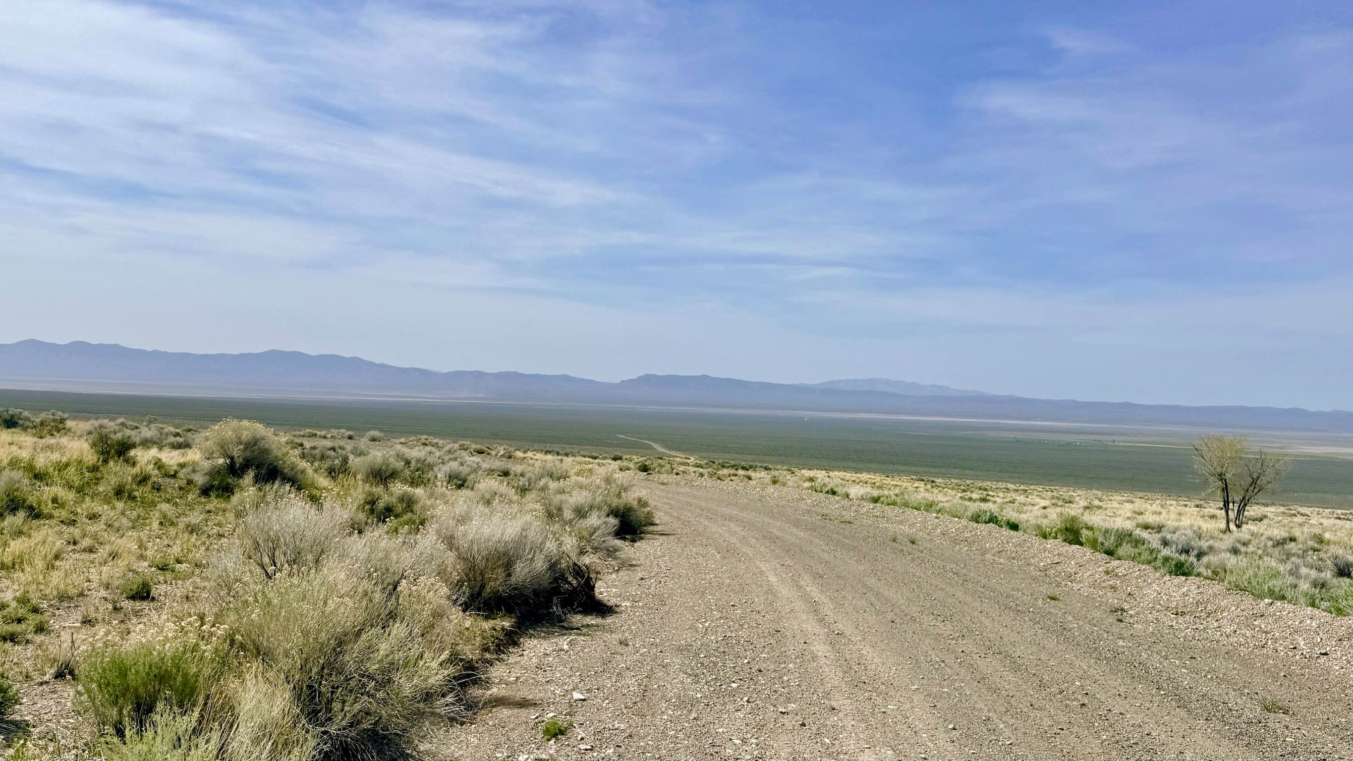
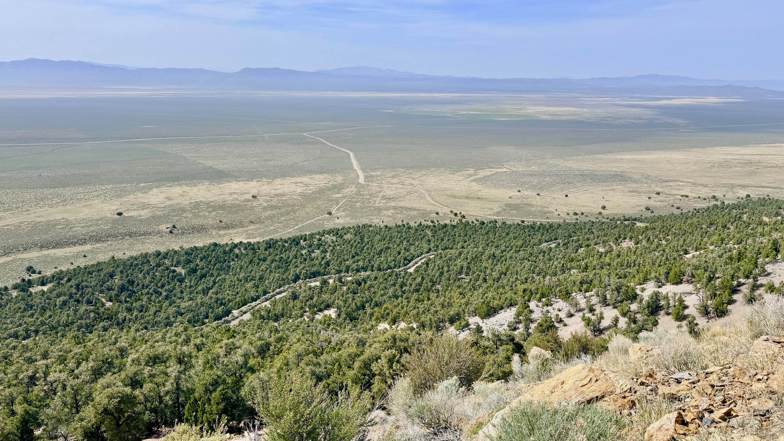
Dry Canyon South is widely considered "the easy way up the mountain." This route was clearly engineered to support heavy industrial use during the peak of the region's mining operations, resulting in a well-graded, super-wide road that accommodates even the largest rigs with ease. The trail features a series of gentle switchbacks and an easy grade, allowing for a comfortable, low-stress climb from the valley floor to the dramatic ridgelines of the Toiyabe Range. As you ascend, the scenery unfolds in spectacular fashion. Every corner offers a new, expansive vantage point that seems to get better the higher you climb. This is the perfect trail for those who want to "soak in" the vastness of the Reese River Valley; there are numerous safe places to pull over, stretch your legs, and walk to the edge of the track to appreciate the thousand-foot drops and the shimmering playas in the distance. The landscape transitions from the sagebrush-choked lower canyons into higher-altitude forests, providing a diverse backdrop for your journey into the "Sky Islands" of Nevada. This is one of the few high-mountain trails in the area suitable for full-size trucks, large SUVs, and even well-equipped off-road campers. There is no cell service in the deep folds of Dry Canyon. Do not rely on your phone for navigation once you leave the highway. Download offline maps before you begin your climb.
Photos of Dry Canyon South - FS 23004
Difficulty
While the road is mostly smooth, stay alert for boulders that occasionally roll down from the steep hillsides above. You may also encounter minor washout sections after heavy rains.
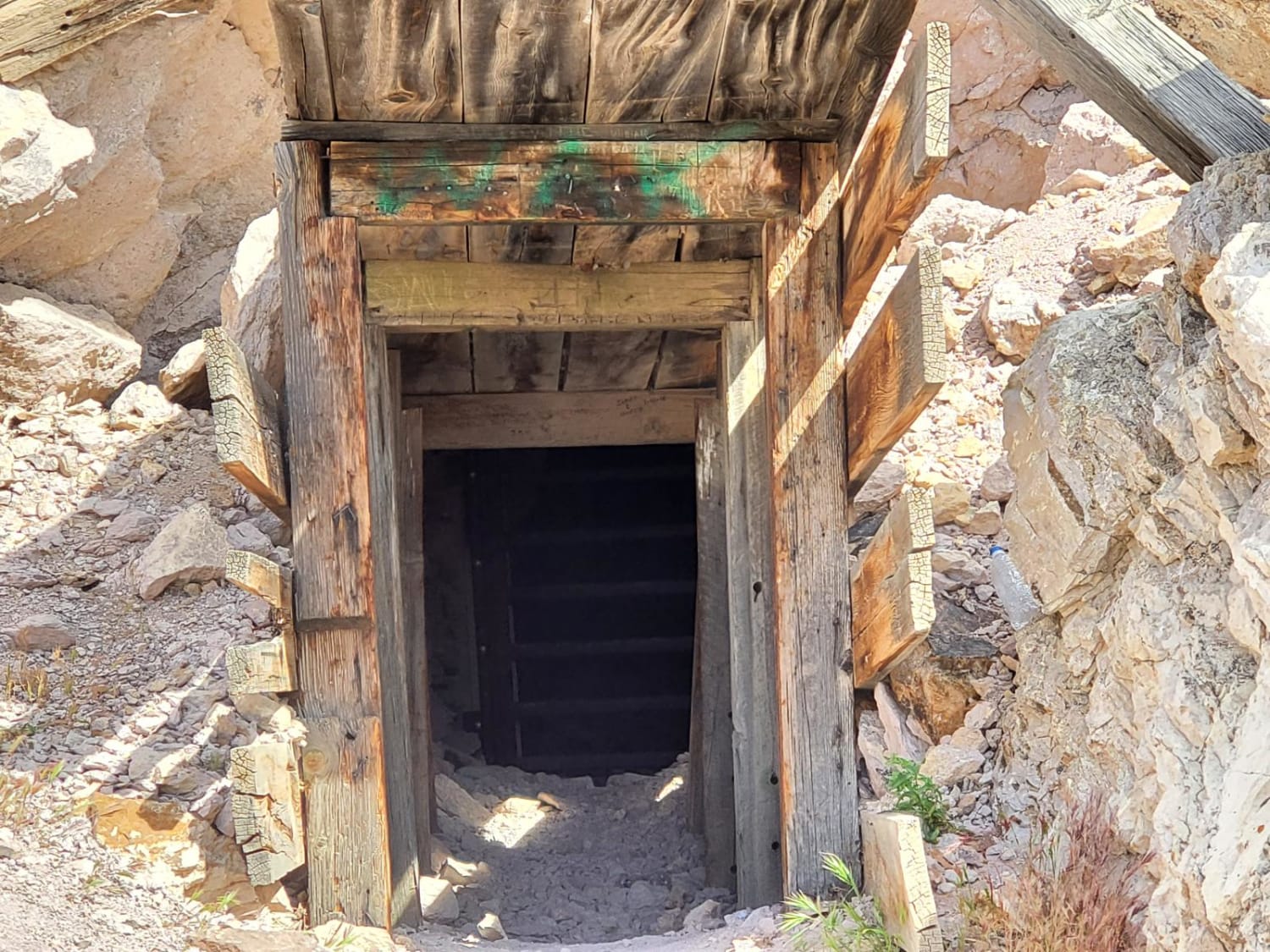
History
The engineering of Dry Canyon South is a testament to the sheer scale of the Reese River Mining District. In the late 1800s and early 1900s, hauling heavy milling equipment and ore required roads capable of accommodating massive teams of mules and oxen. Unlike the narrow prospector trails that "goat" their way up the mountains, this road represents the transition from individual dreaming to corporate industrial mining. As you drive, imagine the thunderous sound of heavy freight wagons and the cloud of dust they would have kicked up as they hauled the "Silver Queen's" riches down to the mills in Austin.
Status Reports
Dry Canyon South - FS 23004 can be accessed by the following ride types:
- High-Clearance 4x4
- SUV
- SxS (60")
- ATV (50")
- Dirt Bike
Dry Canyon South - FS 23004 Map
Popular Trails

Deer Lodge Road
Campbell & Smith Creek Jeep Trail

Hacketts Ranch Road
Rhyolite Ghost Town Loop
The onX Offroad Difference
onX Offroad combines trail photos, descriptions, difficulty ratings, width restrictions, seasonality, and more in a user-friendly interface. Available on all devices, with offline access and full compatibility with CarPlay and Android Auto. Discover what you’re missing today!