Campbell & Smith Creek Jeep Trail
Total Miles
21.4
Technical Rating
Best Time
Summer, Fall
Trail Type
High-Clearance 4x4 Trail
Accessible By
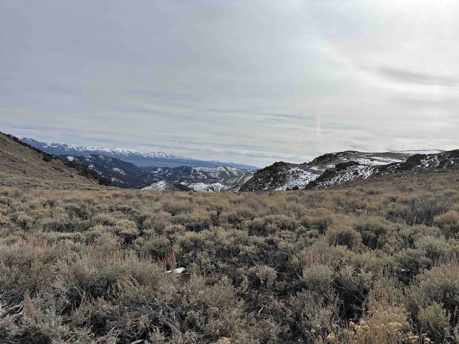
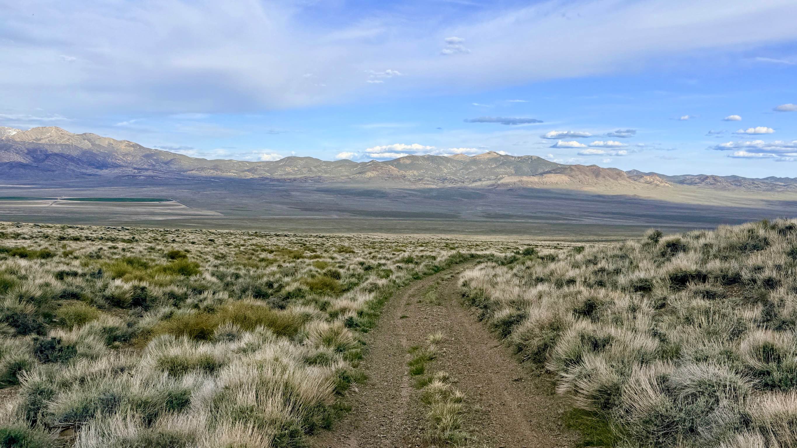
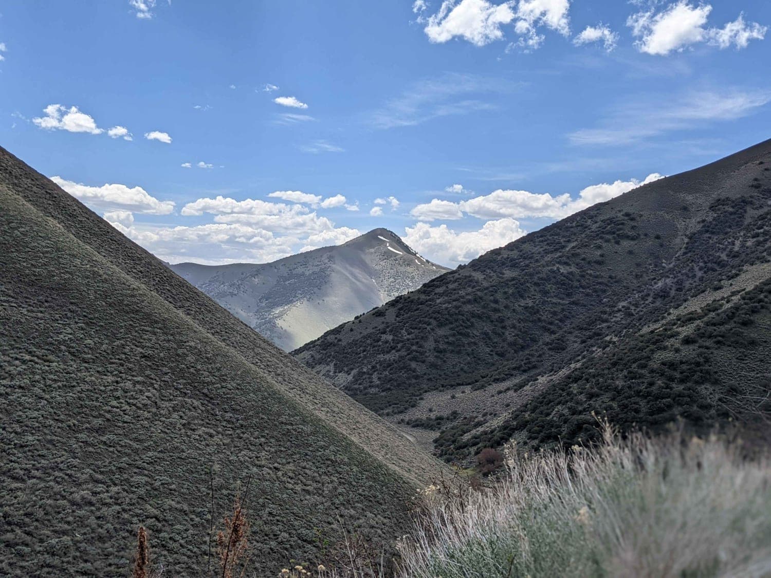
Trail Overview
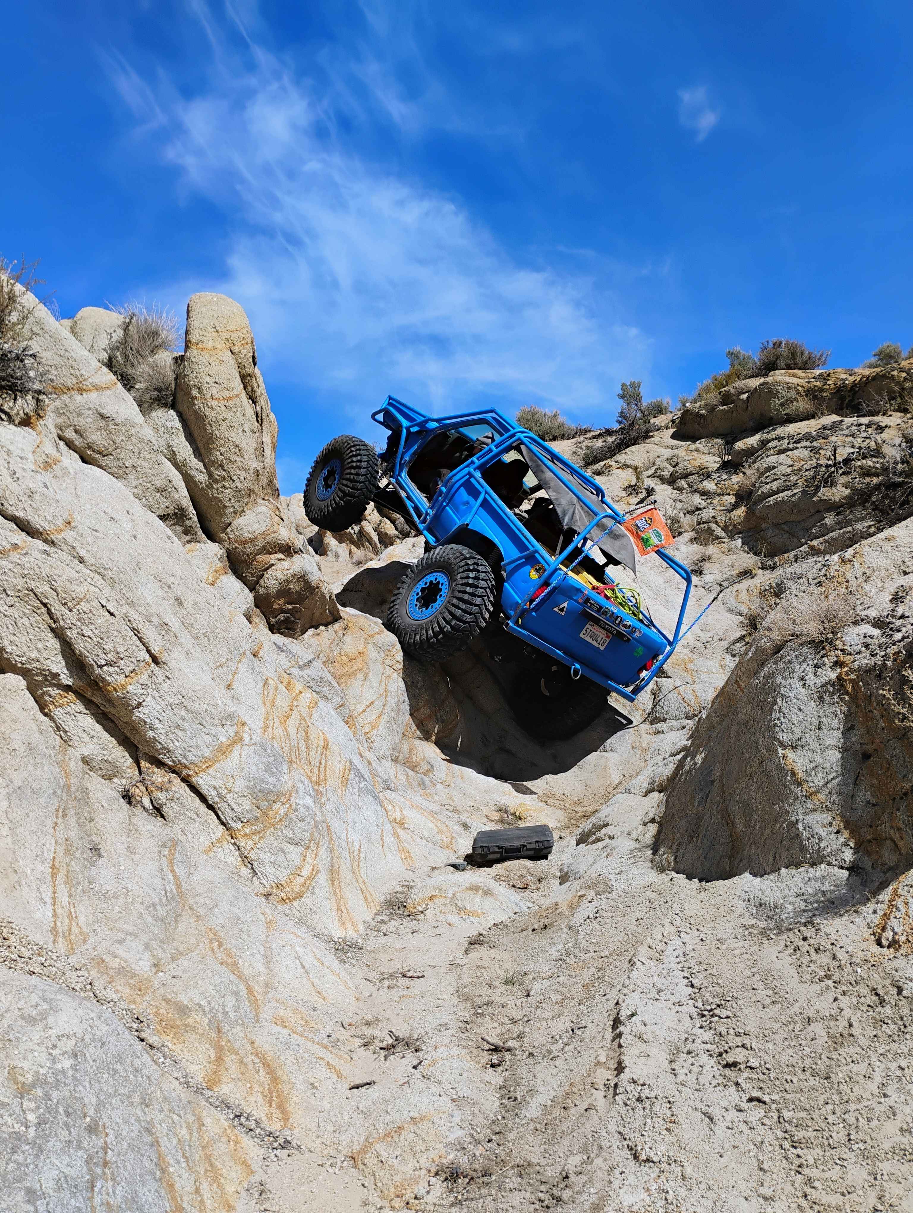
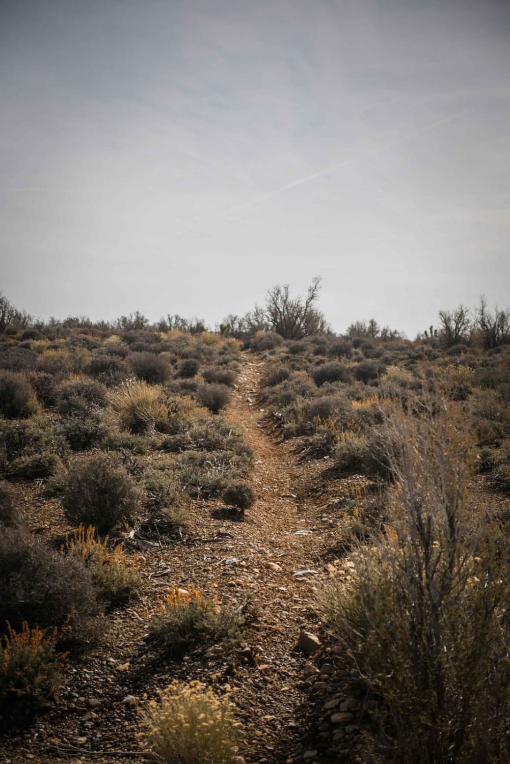
The trail traverses the Desatoya Mountains from State Highway 722 to US Route 50, following along the Desatoya Mountain Wilderness. There are numerous creek crossings, with the deepest being around a foot. The trail is quite narrow when winding through the Aspen trees, and a full-size rig may have some trouble fitting. The worst part of the trail is near the top on the State Route 722 side, which is a steep and quite rocky climb. There are a few camping spots along the trail that provide beautiful mountain views. You will pass through some gates, as it is open range, please remember to close them behind you.
Photos of Campbell & Smith Creek Jeep Trail

Difficulty
The lower sections of the trail are mellow but quite tight in the aspen trees. There is a small rock section near the top that will require decent ground clearance and possibly a locker, depending on how much flex your rig has.
History
The trail follows Part of the Central Overland Trail and passes past the location of the Edwards Creek Station.
Campbell & Smith Creek Jeep Trail can be accessed by the following ride types:
- High-Clearance 4x4
- SxS (60")
- ATV (50")
- Dirt Bike
Campbell & Smith Creek Jeep Trail Map
Popular Trails
Boyd Cutover - 431A
Once Is Enough
Kingston Canyon Road
The onX Offroad Difference
onX Offroad combines trail photos, descriptions, difficulty ratings, width restrictions, seasonality, and more in a user-friendly interface. Available on all devices, with offline access and full compatibility with CarPlay and Android Auto. Discover what you’re missing today!