Flat Top Mesa Loop Trail
Total Miles
16.2
Technical Rating
Best Time
Spring, Fall, Winter
Trail Type
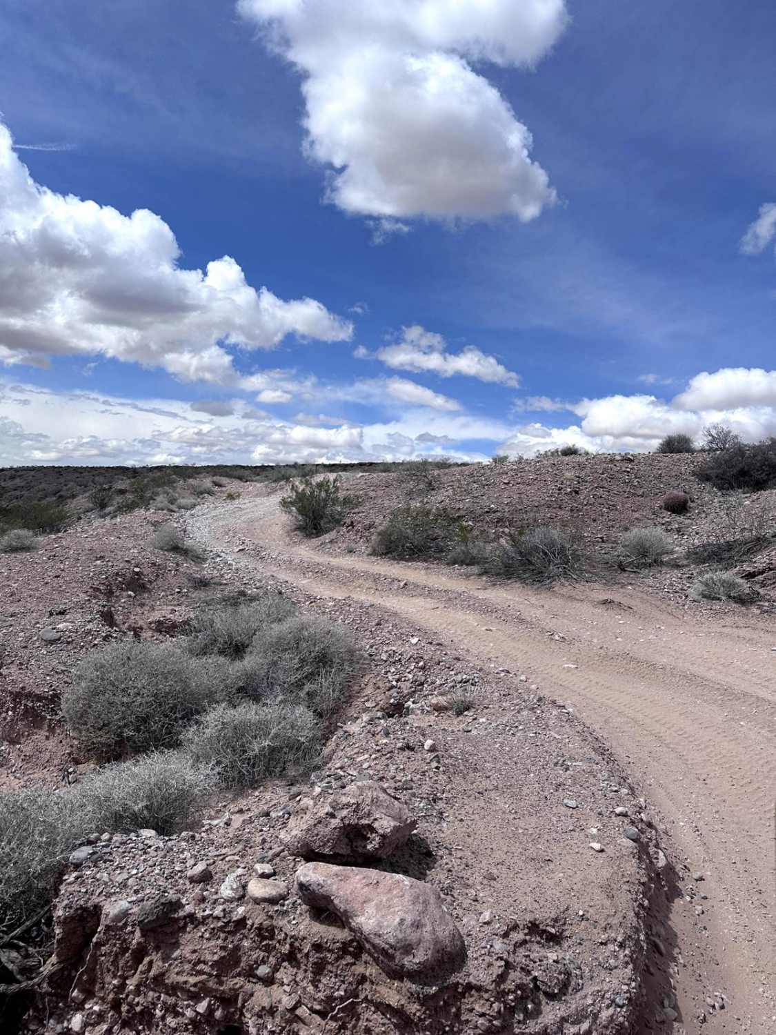
Full-Width Road
Accessible By
Trail Overview
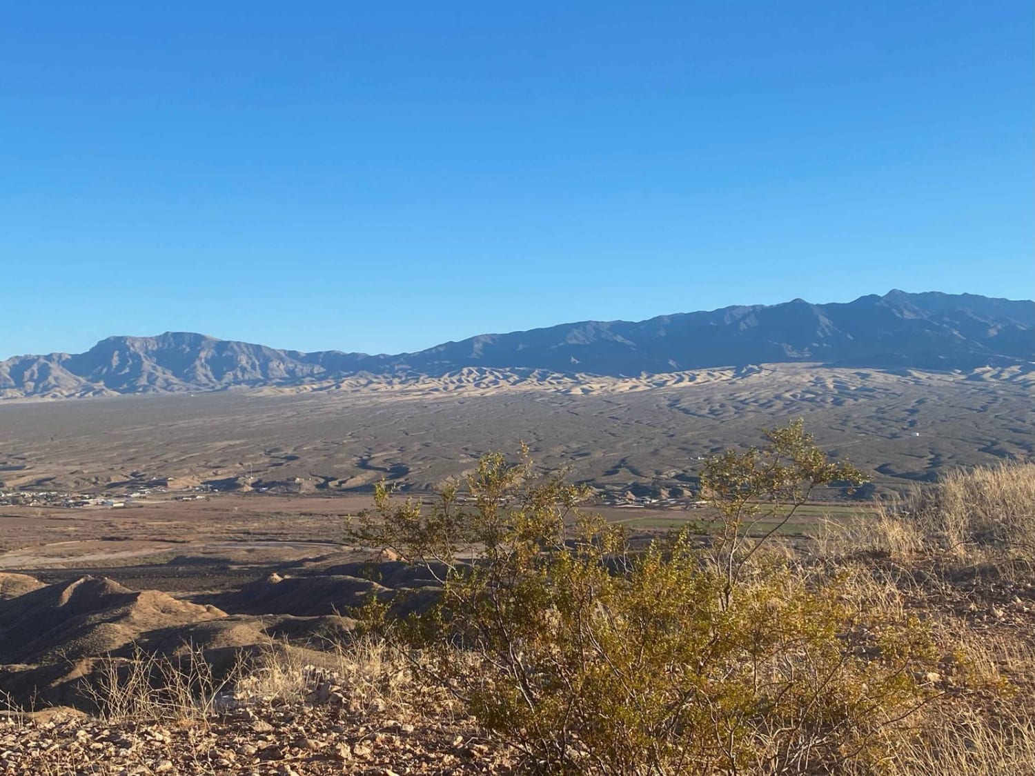
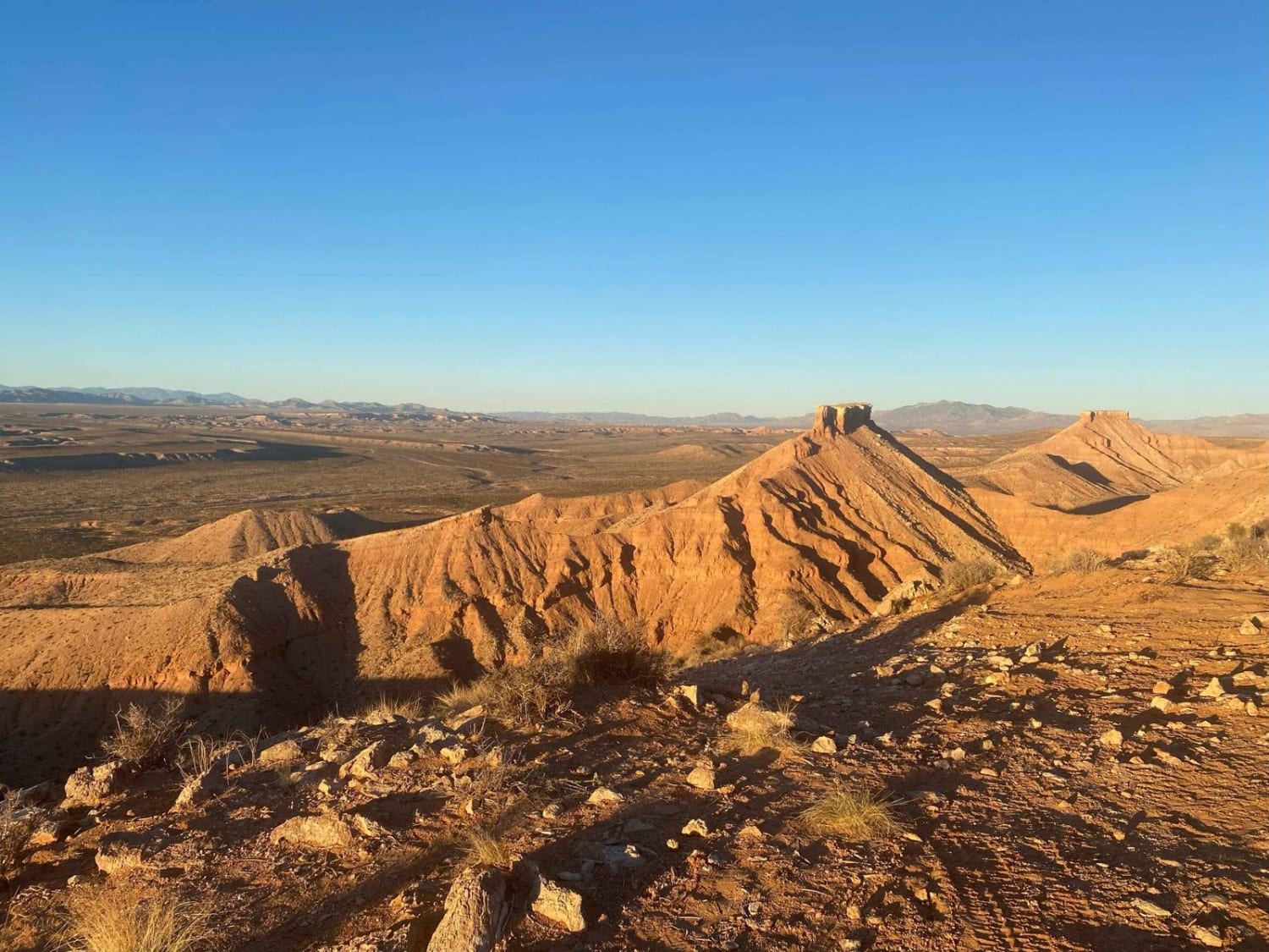
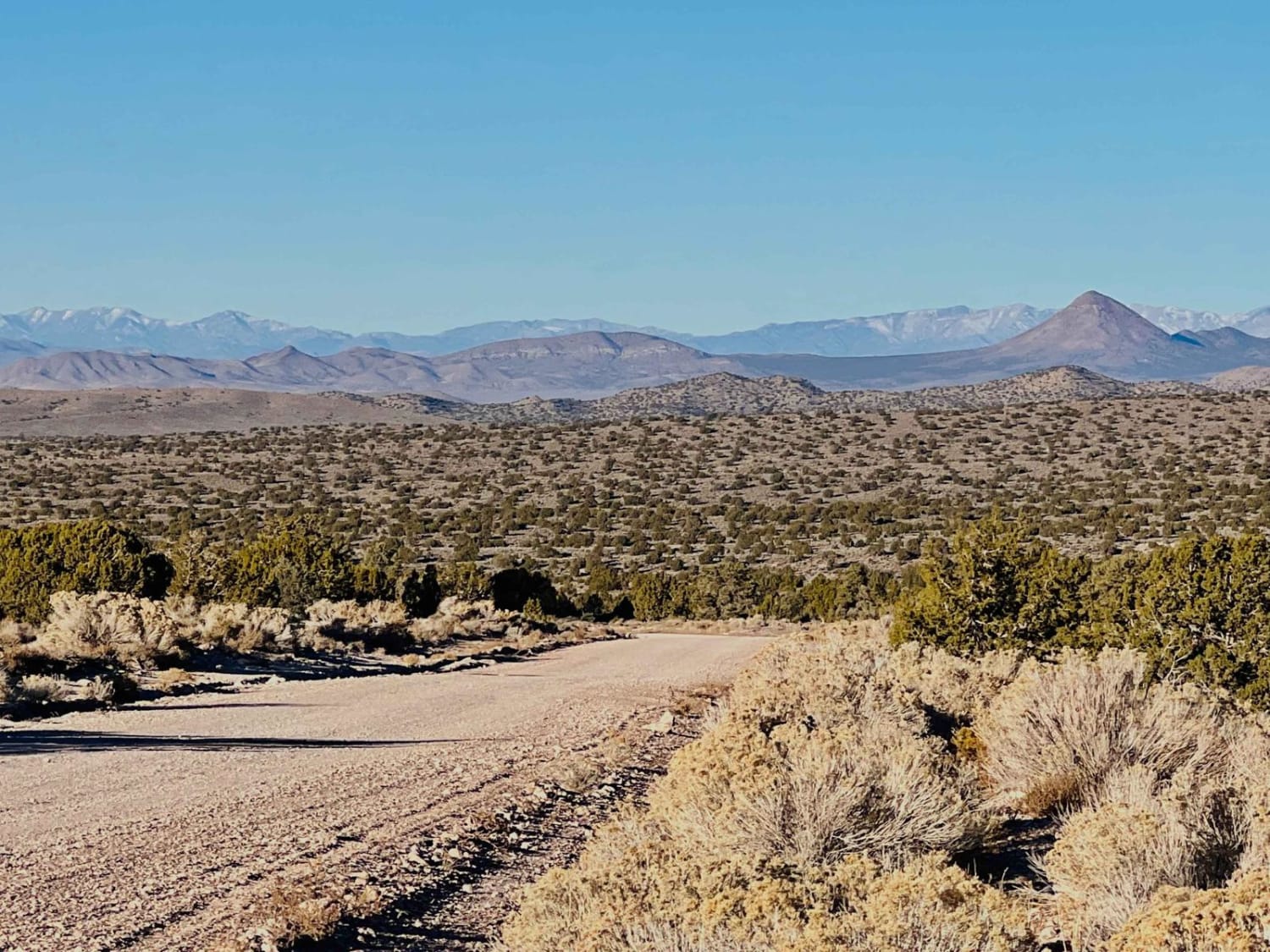
As you start on the trail, a wide panorama of Mesquite, Nevada, and Scenic, Arizona, makes a beautiful view. Behind these townships, you can see Virgin Peak and much of the Virgin River. Many short offshoot trails will get closer to the edge, but beware that much of the mesa is undercut and a long way down. Scenic vistas along the western rim provide views of Toquop Wash, Mormon Mesa, and Mormon Mountain beyond. As you come back around to the Mesquite side, be sure to take the short offshoot trail to the American Flag. After checking out the views by the flag, go back to following the loop trail and you will end up by the gate where you started. If you need to shorten the trip, many access routes will cut across the mesa and get you back to the cattle gate.
Photos of Flat Top Mesa Loop Trail
Difficulty
You will be driving on mostly small rocks and some sand.
Status Reports
Flat Top Mesa Loop Trail can be accessed by the following ride types:
- High-Clearance 4x4
- SUV
- SxS (60")
- ATV (50")
- Dirt Bike
Flat Top Mesa Loop Trail Map
Popular Trails

Harrison Pass

Nevada Telephone Cove Road
The onX Offroad Difference
onX Offroad combines trail photos, descriptions, difficulty ratings, width restrictions, seasonality, and more in a user-friendly interface. Available on all devices, with offline access and full compatibility with CarPlay and Android Auto. Discover what you’re missing today!