Mead Davis Powerline Road
Total Miles
13.8
Technical Rating
Best Time
Spring, Fall, Winter
Trail Type
High-Clearance 4x4 Trail
Accessible By
Trail Overview
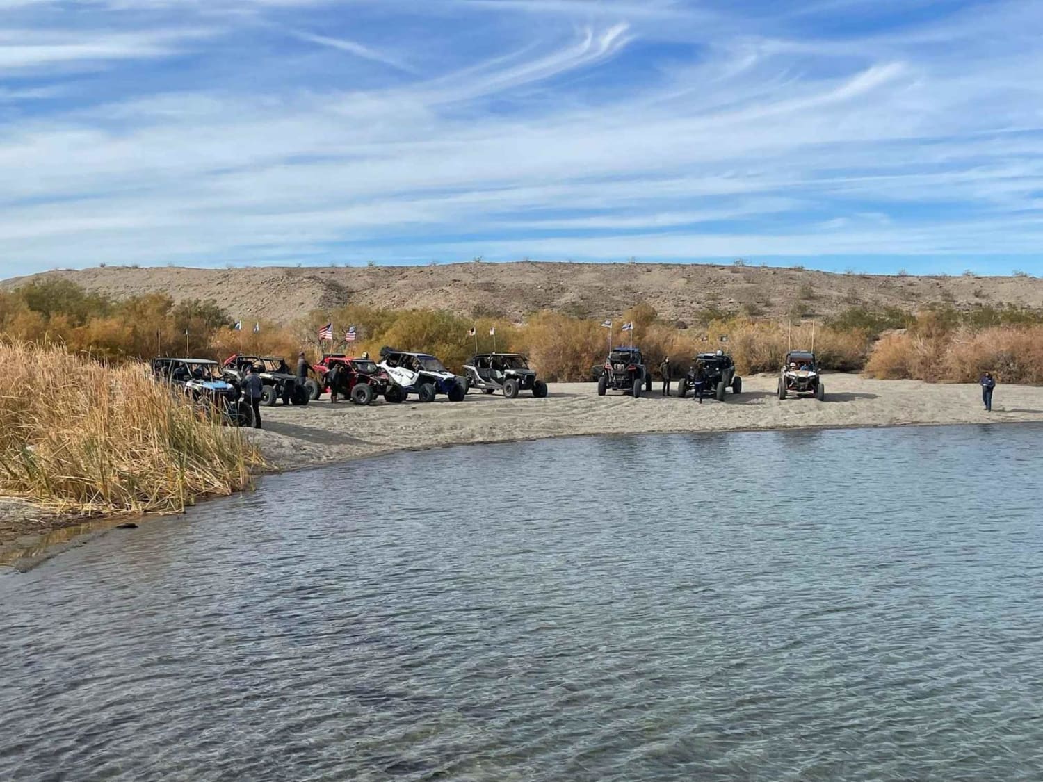
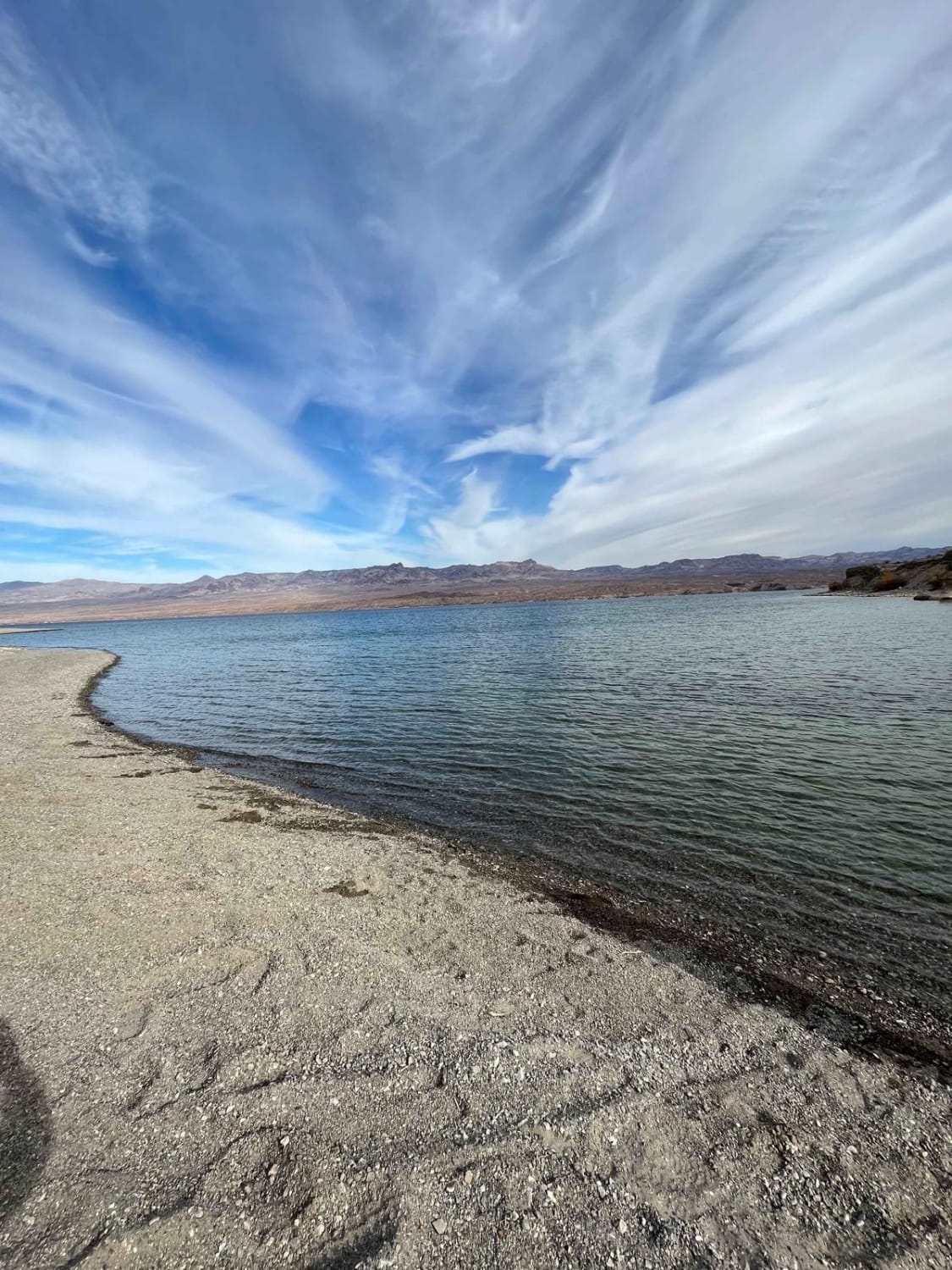
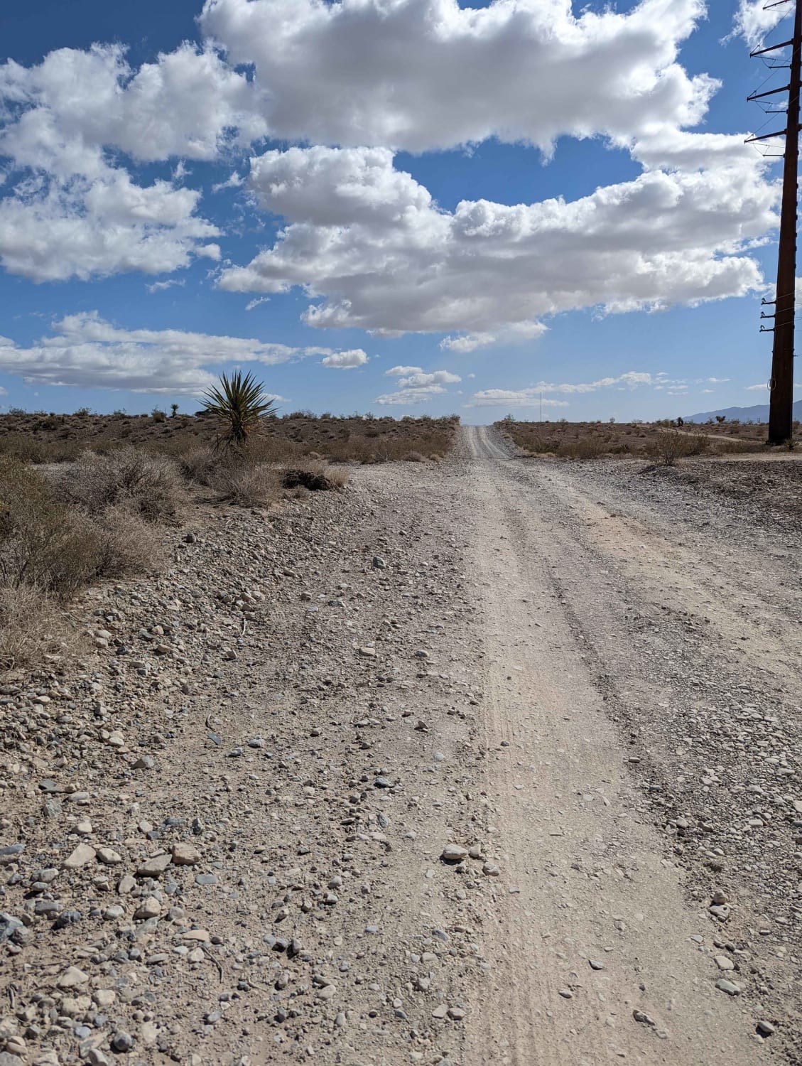
The first half of the trail is hard pack dirt with rutted areas and uneven grades, single-car wide. The second half of the trail is washes with two-car wide areas most of the way and single-car wide as you get closer to the lake. Large boulders are in the wash so if you are in the dust drive carefully.
Photos of Mead Davis Powerline Road
Difficulty
Trail should be easy for any 4x4, SXS, UTV and motorcycle. most lifted 2 wheel drives should make the trail.
Status Reports
Mead Davis Powerline Road can be accessed by the following ride types:
- High-Clearance 4x4
- SxS (60")
- ATV (50")
- Dirt Bike
Mead Davis Powerline Road Map
Popular Trails
Nellis Bypass to Vegas View Ridge

Backway to Marietta
Middle Elk Meadow Connector Trail
Higley Road/Trail - Powerline Road
The onX Offroad Difference
onX Offroad combines trail photos, descriptions, difficulty ratings, width restrictions, seasonality, and more in a user-friendly interface. Available on all devices, with offline access and full compatibility with CarPlay and Android Auto. Discover what you’re missing today!
