Trail Overview
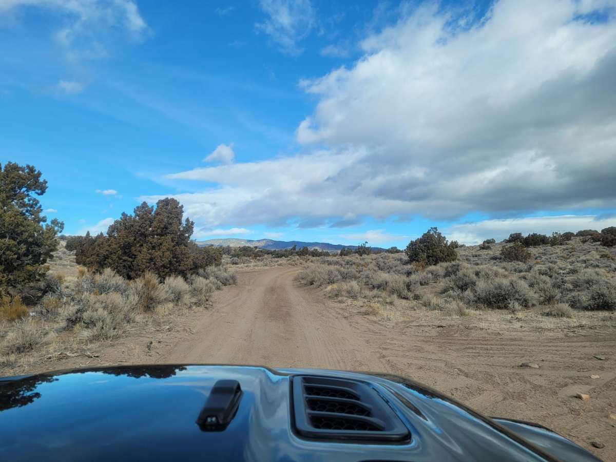
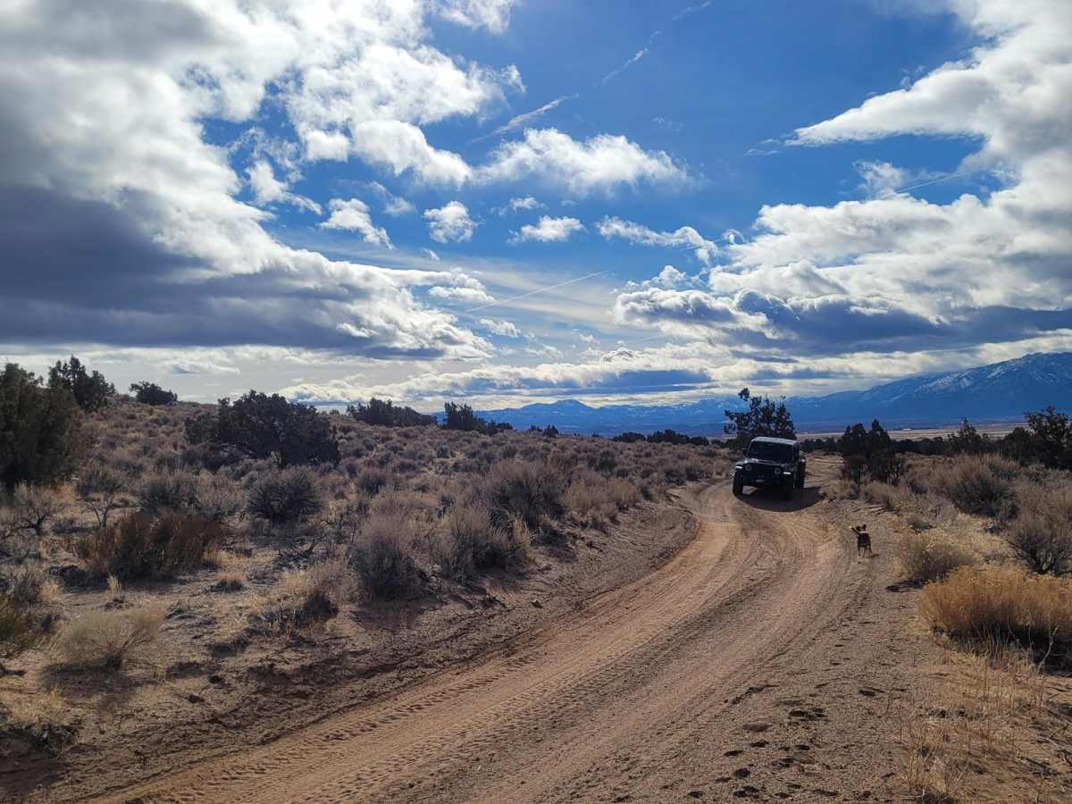
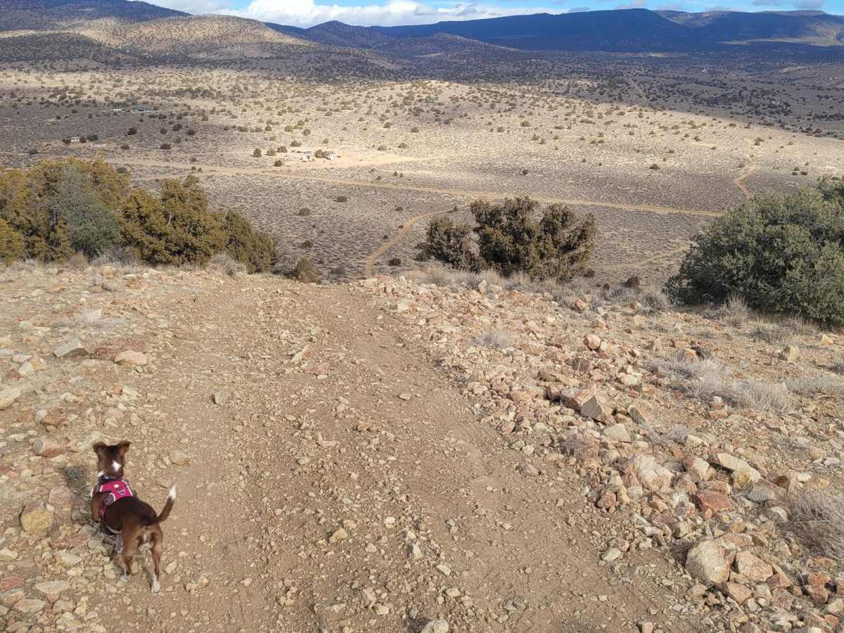
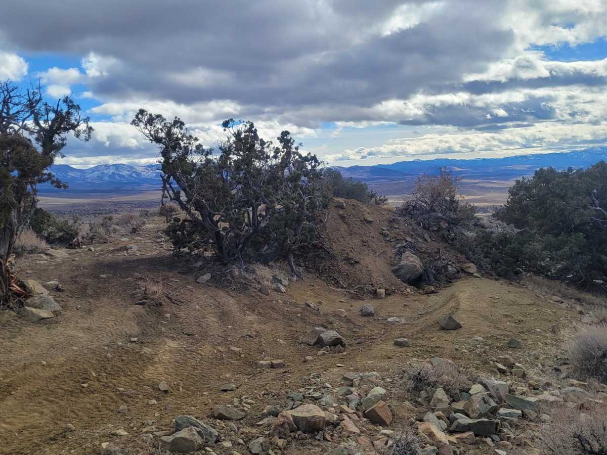
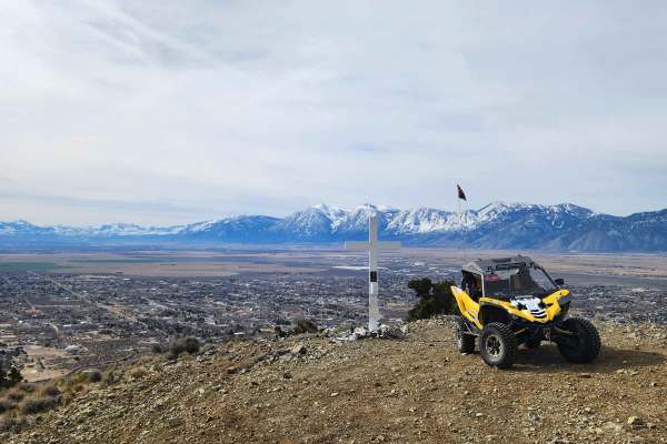
The Pine Nut Mountains Vista Trail is a scenic double-track route in the Johnson Lane OHV Area, perfect for offroaders seeking panoramic views of the Sierra Nevada Mountains, Minden, and the surrounding Carson Valley. Starting near the end of Johnson Lane, just ten miles from Minden, this 2.56-mile trail climbs steadily through the rugged desert terrain of the Pine Nut Mountains. The trail serves as a gateway to expansive ridgelines, before terminating at a man-made dirt berm designed to block further vehicular travel along the ridge. A small clearing at this high point provides just enough space for vehicles to safely turn around and head back down.
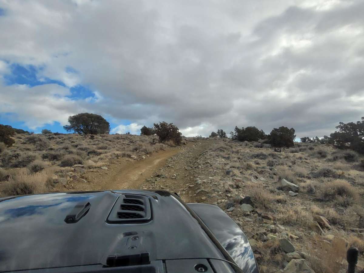
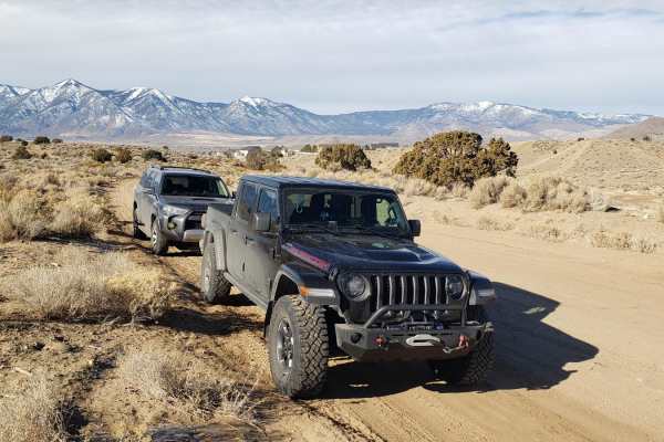
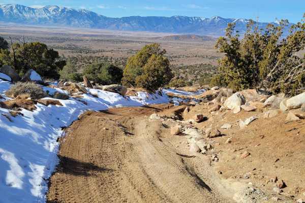
With a technical rating of 3, the trail consists primarily of unmaintained dirt, sand, and loose rock, featuring steep climbs and descents with gradients up to 14 degrees. Drivers can expect to encounter ruts and occasional rocky obstacles up to 12 inches in size, making a high-clearance 4WD vehicle highly recommended to safely navigate the terrain. The route gains approximately 682 feet of elevation, topping out at 5,618 feet above sea level. Because the area is unmaintained and susceptible to severe erosion after heavy rain or snow, checking local conditions is essential, especially during winter and early spring when mud or snow can significantly increase the difficulty.
Difficulty
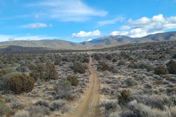
Dirt, sand, and rocky road, steep in several places with 12" obstacles. Trail is unmaintained after rain or snow. The road is double-track one-way traffic. A few tall stones and obstacles under 6" can be easily avoided. The road is rutted and elevation changes are steep with no ledges.
Access Description
The trail is located on public land managed by the Bureau of Land Management (BLM) Carson City District. There are no fees or permits required to access the area, but all vehicles must be street-legal or have a current off-highway vehicle (OHV) registration sticker. While the area is open year-round, access can be severely restricted by snow, mud, or deep washouts during the winter and early spring months.

 Offroad