Magnesite Mine Trail
Total Miles
4.8
Technical Rating
Best Time
Summer, Fall, Winter
Trail Type
High-Clearance 4x4 Trail
Accessible By
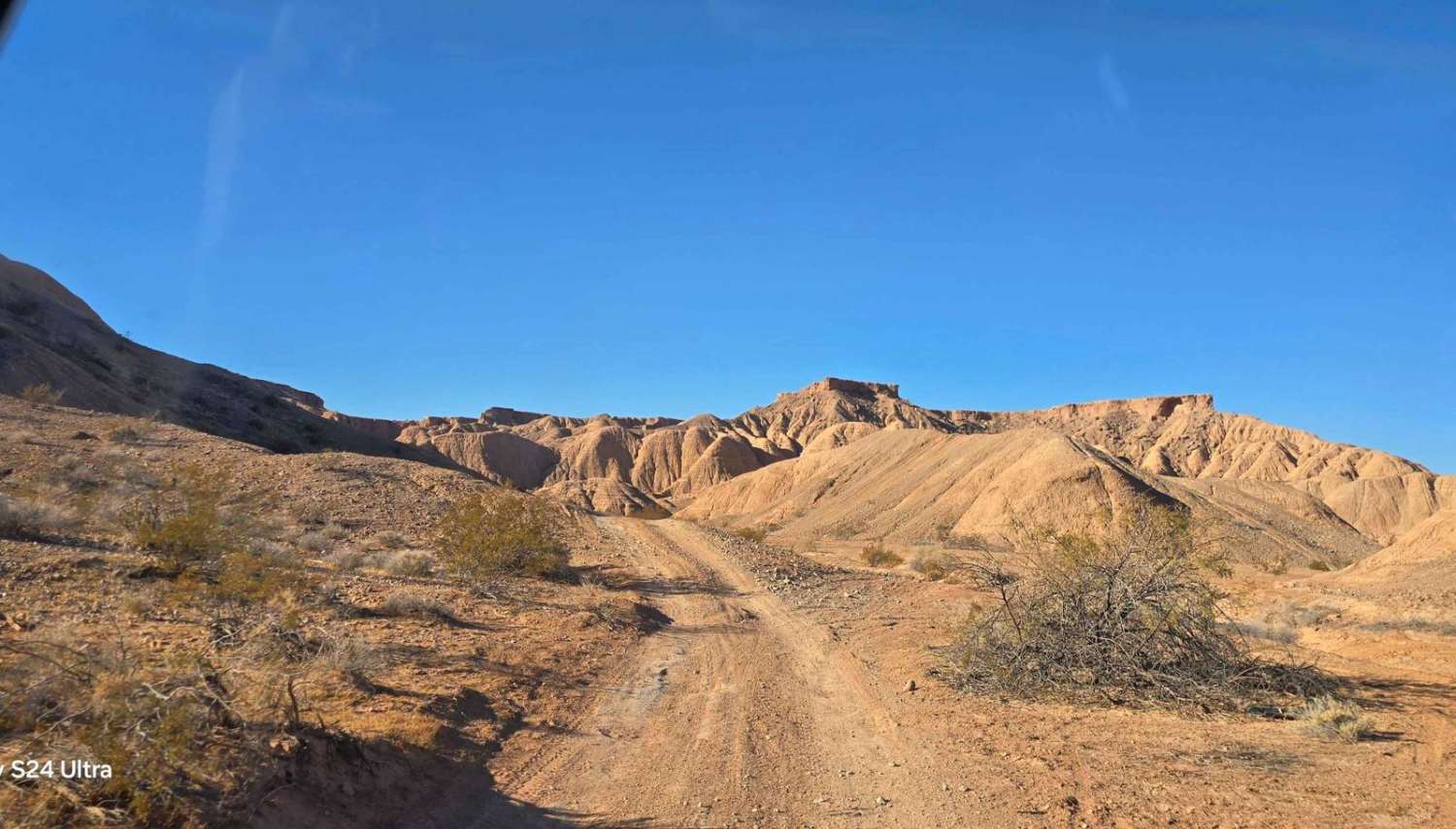
Trail Overview
This trail leads to the Magnesite Mine, which opened in Overton in 1915. The trail winds through and around the Muddy Mountains, named such because they look like mud, but rarely are they muddy. Close to the mine you encounter a stream of water in the Magnesite Wash. The water is produced by a spring at the base of the mountain near the mine. The trail is mostly easy, but there are some steep drop-offs in some areas, which require drivers to pay attention, and in one location along the trail, the edge is washed out due to recent rains. The wash-out has been filled with some boards and rocks to allow passage, but after heavy rain, be careful in all of the locations where the edge is susceptible to wash-out. In early December, the trail was dry except near the spring. When you reach the mine, you can actually enter the caves carved years earlier. There are gates across the entrance, but the lower entrance's gate has an opening that allows people in. You can climb on the inside of the cave up to the upper grate, and if you're truly adventurous, you can climb up to a cave above the pond that is actually a water basin/bowl. In the summertime, locals report that it's hot like a hot tub, but it's a bit of a dangerous climb to reach it. Our 1.5-hour time includes time to explore the cave and the pond at the trail's end. On our trip to the mine, we found some of the wild burros/donkeys which call this area home.
Photos of Magnesite Mine Trail

Difficulty
The primary difficulty is places where the trail may be washed out along the edges. Also, the trail has some steep drop-offs on both sides as you move through the Muddy Mountains. This trail will be accessible year-round, depending on the spring water situation in the washes.
History
The Magnesite Mine in Overton opened in 1915, and the mine encompassed over 1100 acres. This cave/shaft at the end of this trail is the single known shaft used by the mine. By 1983, the mine had the capacity to produce 2500 metric tons of ore per day through open-pit mining. The primary mineral mined here was Magnesite, and the waste materials generated during the extraction process included feldspar, dolomite, and quartz.
Status Reports
Magnesite Mine Trail can be accessed by the following ride types:
- High-Clearance 4x4
- SxS (60")
- ATV (50")
- Dirt Bike
Magnesite Mine Trail Map
Popular Trails
Willow Creek Ranch Cutoff FS43496A
Black Horse
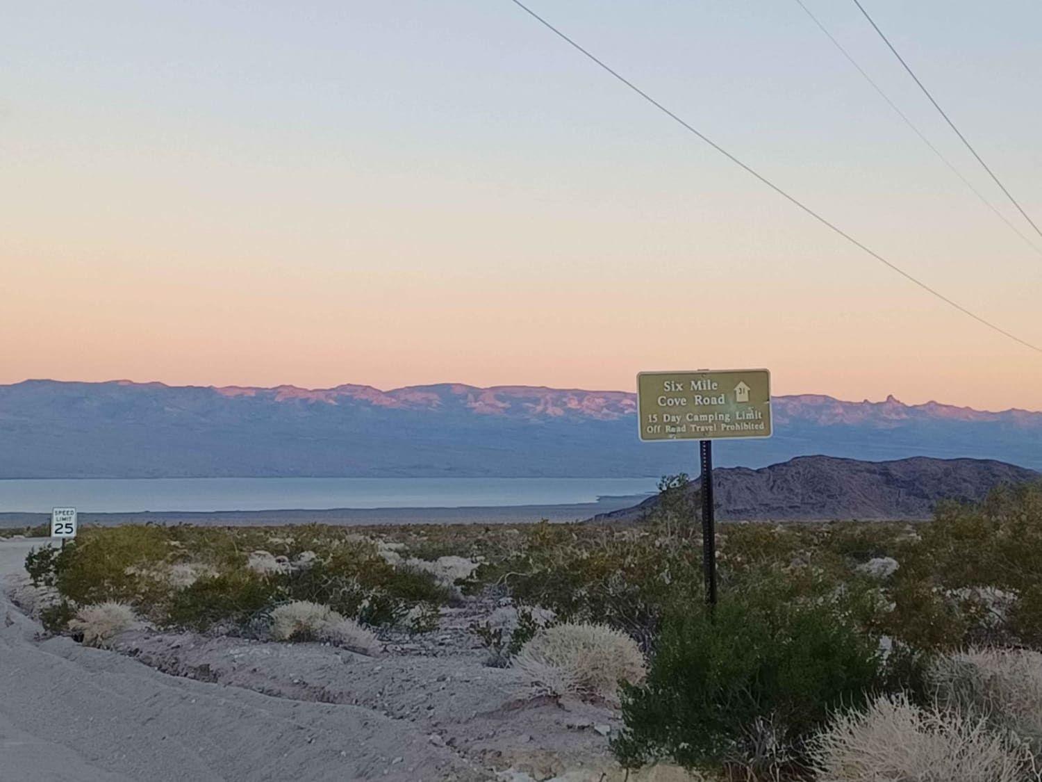
Six Mile Cove Road
The onX Offroad Difference
onX Offroad combines trail photos, descriptions, difficulty ratings, width restrictions, seasonality, and more in a user-friendly interface. Available on all devices, with offline access and full compatibility with CarPlay and Android Auto. Discover what you’re missing today!