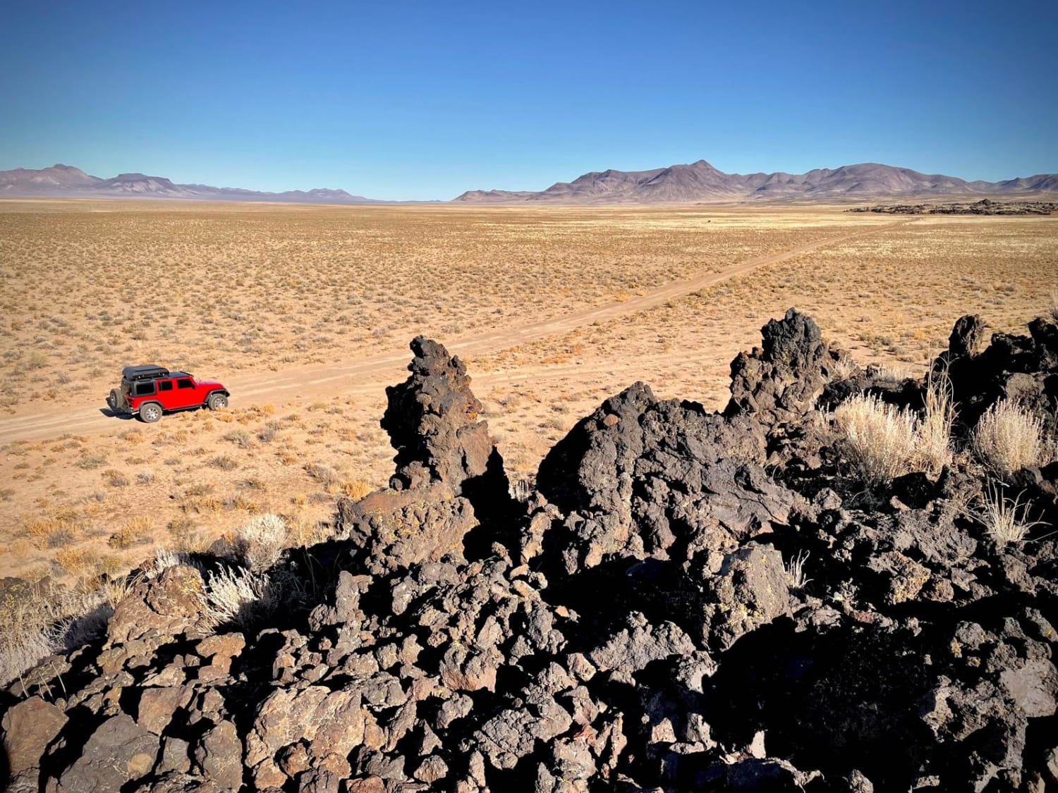
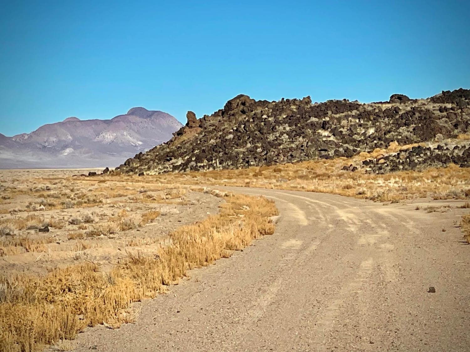
Black Rock Lava Flow
Total Miles
3.3
Technical Rating
Best Time
Spring, Summer, Fall, Winter
Trail Type
Full-Width Road
Accessible By
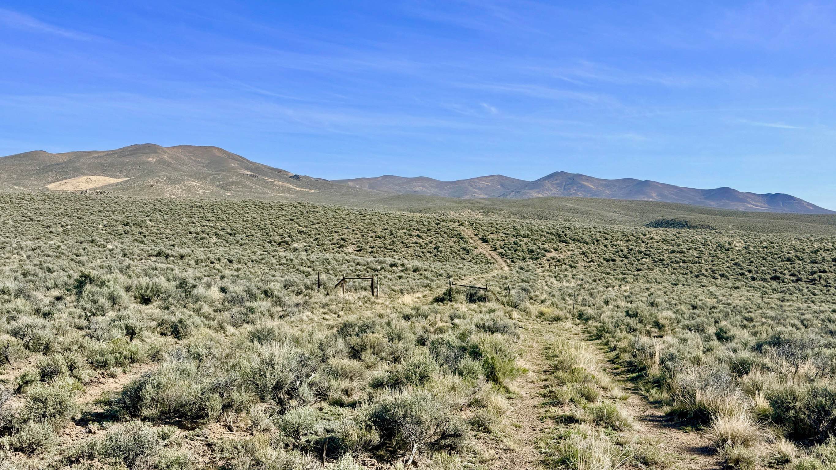
Trail Overview
Did you know that Hawaii is not the only place to explore lava fields? But would you have guessed that one is in the middle of Nevada? This area of Nevada is actually part of an enormous volcanic field loaded with other craters, cinder cones, basalt flows and ancient lava bedsThe Black Rock Lava Flow is approximately 1900 acres of lava rock that was formed when a nearby volcano erupted between 1.5 and 2-million years ago. While the dirt road does go into the nearby mountains, the first couple of miles or so are the most interesting as it skirts around the outside edge of the lava. You'll easily see when the lava field ends and can choose to either go on exploring the plains as the road heads towards the mountains, or turn around and head back to where the journey started.There are plenty of areas to pull off and explore, but exercise caution when climbing around lava as it can be quite sharp and with a lot of loose rock; heavy hiking boots are recommended, and many people also choose to wear gloves. From the road the lava field looks to be a simple climb, but once you begin you'll see it is much harder that it appears as the rocks are larger, looser, and steeper than you may estimate! Note that this area does allow for free range cattle to roam, so watch for them on or near the roads.
Photos of Black Rock Lava Flow
Difficulty
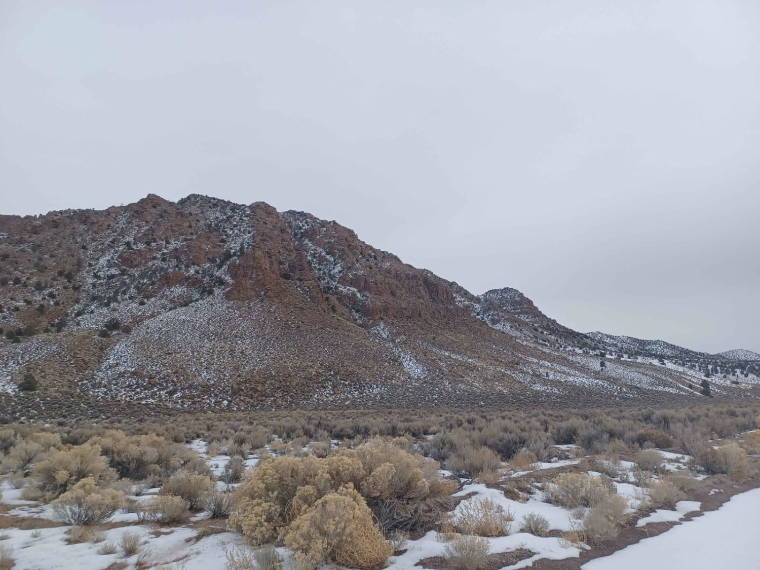
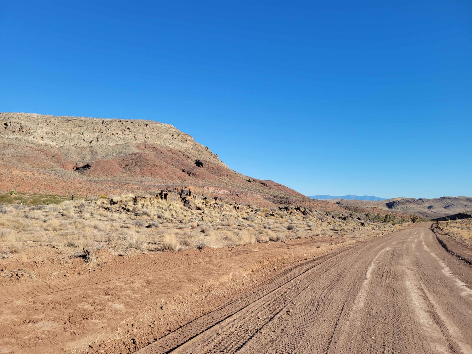
This dirt road is somewhat maintained and typically accessible by most any high clearance 4-wheel or AWD vehicle. During periods of heavy rains (or snow) the road could become slippery and muddy, so caution is urged in the winter or rainy season. Some light-to-medium washboarding in areas, and some spots do have some erosion channels that can be several inches deep.
Status Reports
Black Rock Lava Flow can be accessed by the following ride types:
- High-Clearance 4x4
- SUV
Black Rock Lava Flow Map
Popular Trails
North Crescent Road
Tule Springs Road
Bade Creek Bypass - FS 43224
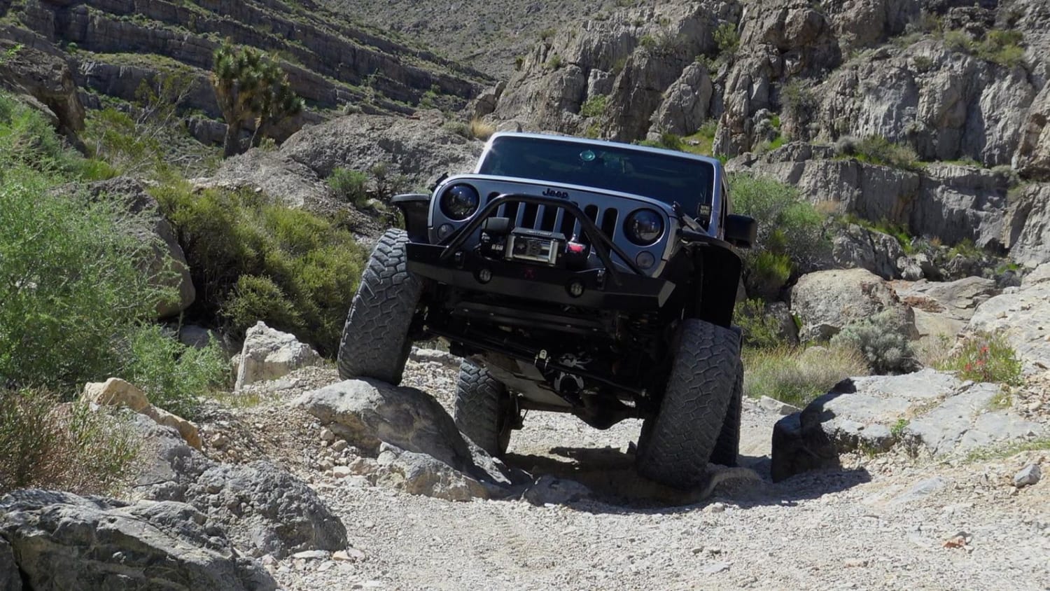
Little Devil Peak
The onX Offroad Difference
onX Offroad combines trail photos, descriptions, difficulty ratings, width restrictions, seasonality, and more in a user-friendly interface. Available on all devices, with offline access and full compatibility with CarPlay and Android Auto. Discover what you’re missing today!