Mackie Reservoir Road
Total Miles
11.3
Technical Rating
Best Time
Spring, Summer, Fall
Trail Type
Full-Width Road
Accessible By
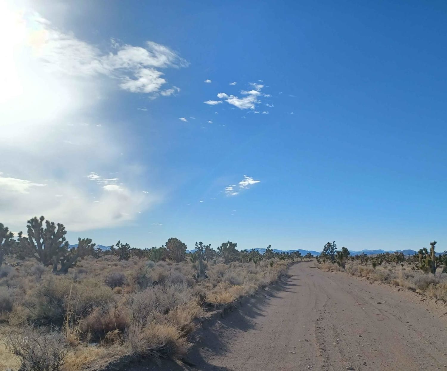
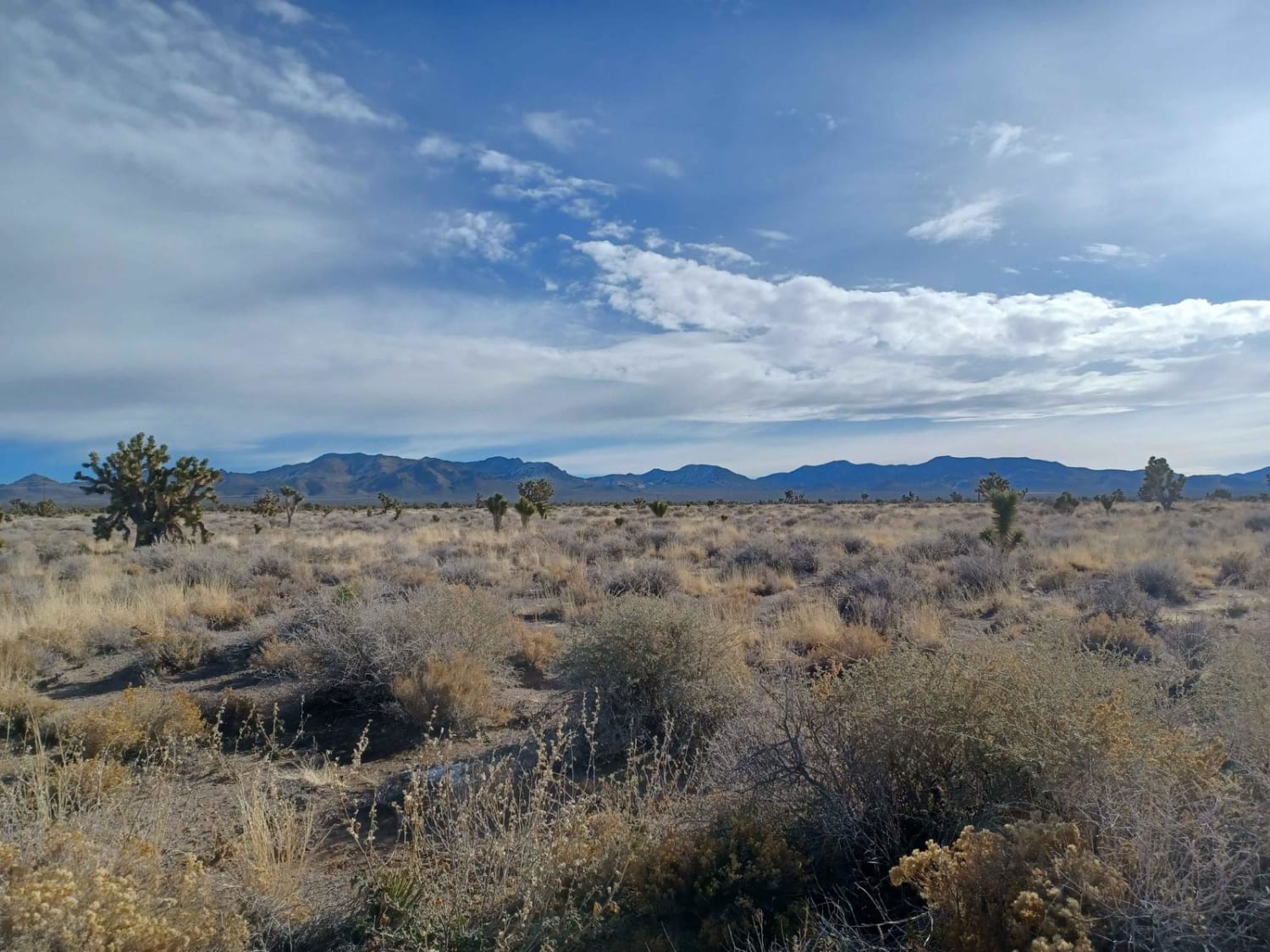
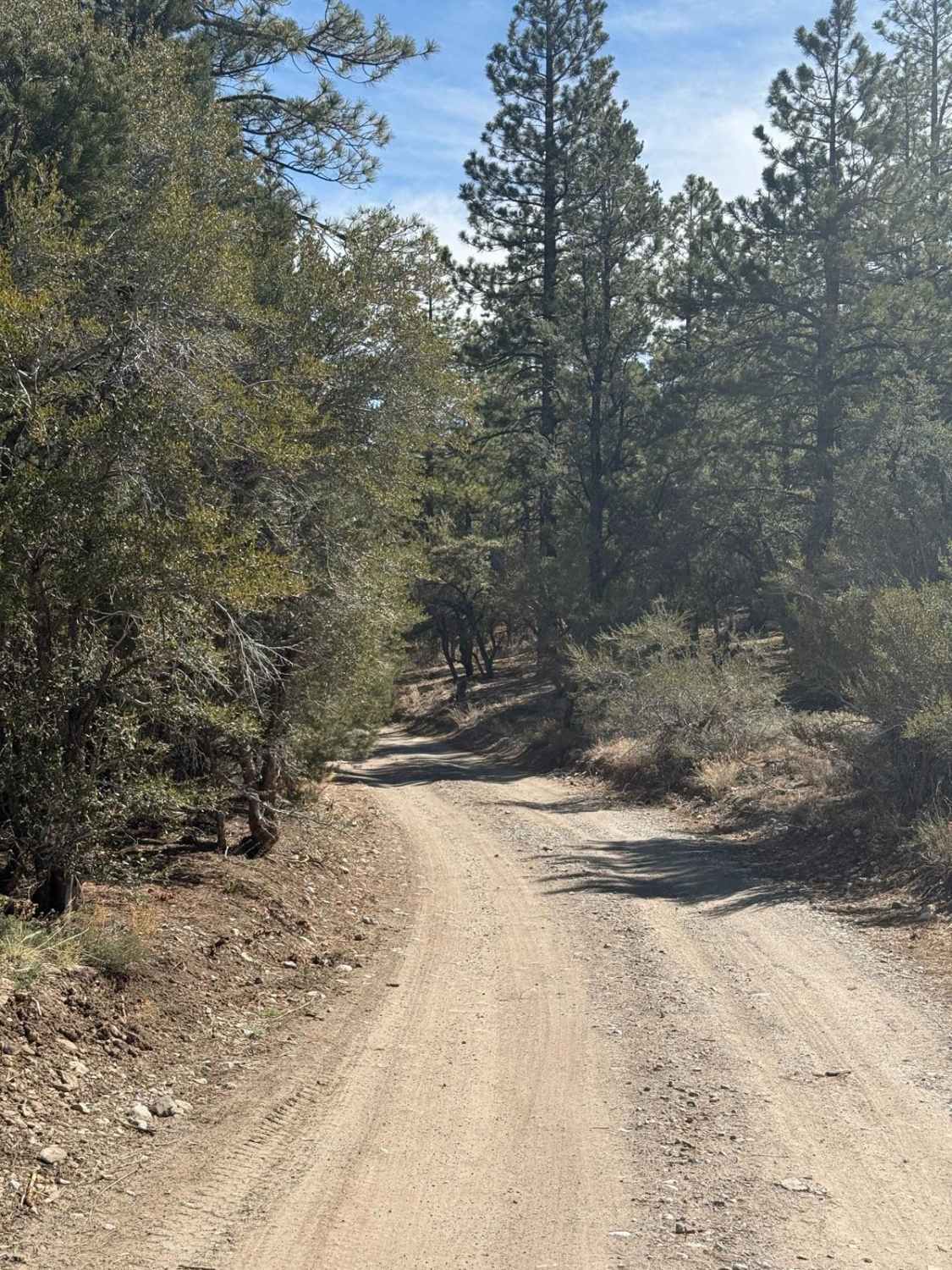
Trail Overview
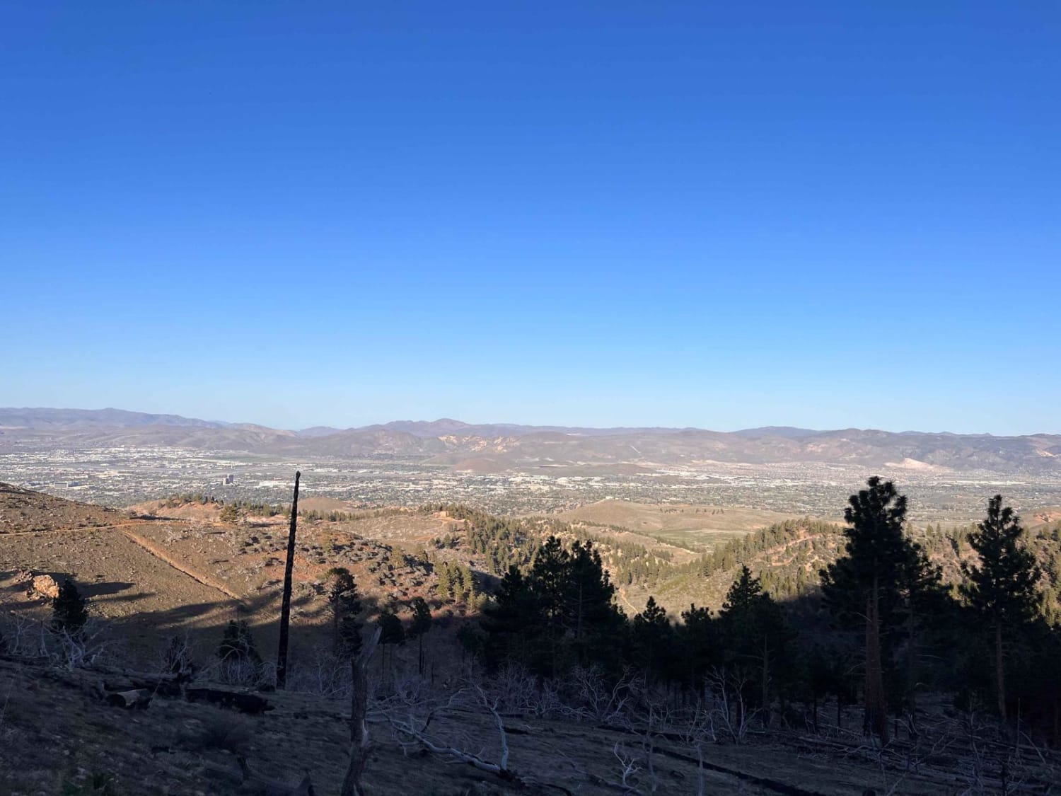
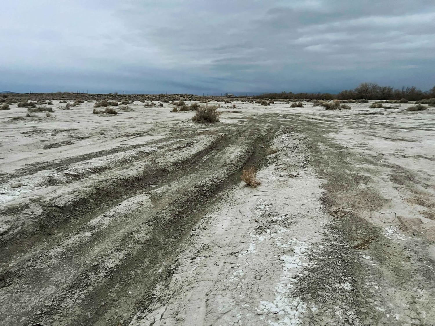
Mackie Reservoir Road is an easy road with a mixture of dirt and gravel. The road runs through the Bureau of Land Management Government Lands, there are a couple of camp spots along the way. The road is pretty open but has some pretty views of mountains in the distance. There are some pretty neat Joshua trees along this road as well.
Photos of Mackie Reservoir Road
Difficulty
Muddy when wet.
Status Reports
Mackie Reservoir Road can be accessed by the following ride types:
- High-Clearance 4x4
- SUV
- SxS (60")
- ATV (50")
- Dirt Bike
Mackie Reservoir Road Map
Popular Trails
Champion Road
Ellsworth Pass
Blue Truck Fork
Lunchtime Rip
The onX Offroad Difference
onX Offroad combines trail photos, descriptions, difficulty ratings, width restrictions, seasonality, and more in a user-friendly interface. Available on all devices, with offline access and full compatibility with CarPlay and Android Auto. Discover what you’re missing today!