Off-Road Trails in Nevada
Discover off-road trails in Nevada
Learn more about Snake Creek Road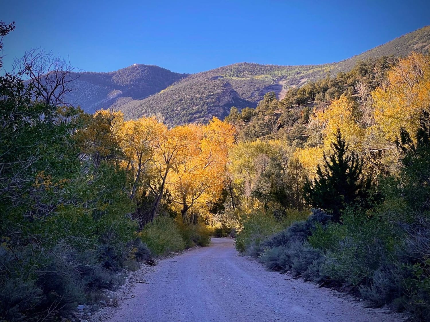
Snake Creek Road
Total Miles
12.3
Tech Rating
Easy
Best Time
Spring, Summer, Fall
Learn more about Snore 250 Start Course 
Snore 250 Start Course
Total Miles
1.5
Tech Rating
Easy
Best Time
Spring, Summer, Fall
Learn more about Snow Spring Road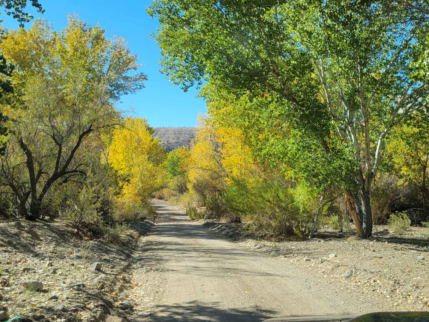
Snow Spring Road
Total Miles
15.9
Tech Rating
Easy
Best Time
Winter, Fall, Spring
Learn more about Snow Valley Road West
Snow Valley Road West
Total Miles
5.9
Tech Rating
Easy
Best Time
Spring, Summer, Fall, Winter
Learn more about Sonoma Peak Access Trail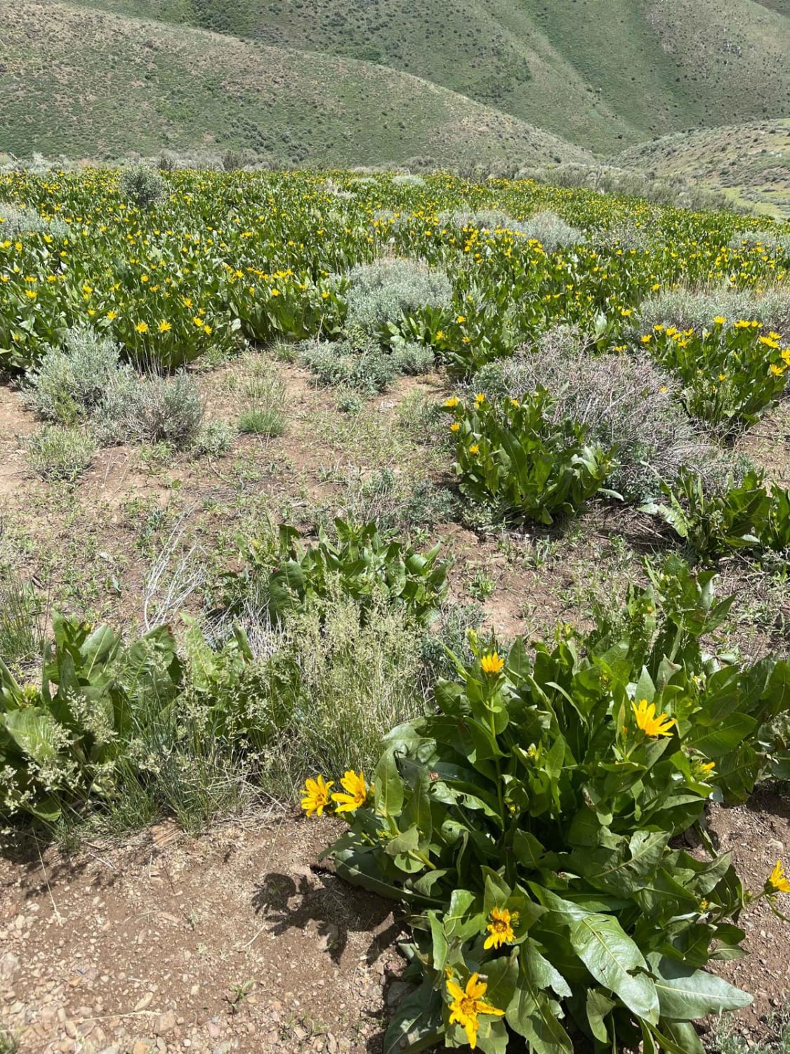
Sonoma Peak Access Trail
Total Miles
6.9
Tech Rating
Moderate
Best Time
Summer
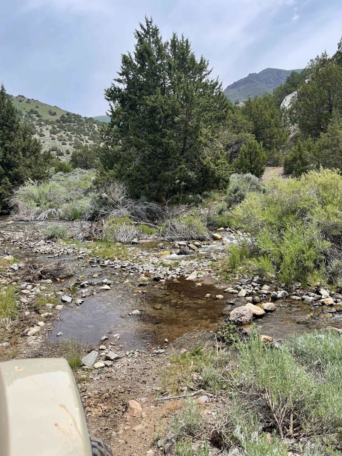
Learn more about South Fork Birch Creek Road - NF43243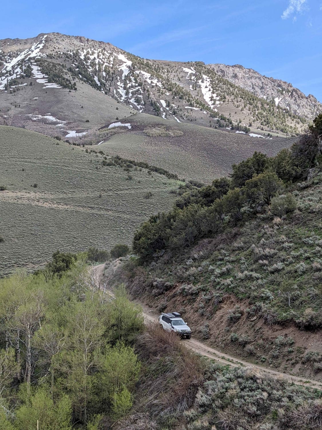
South Fork Birch Creek Road - NF43243
Total Miles
1.9
Tech Rating
Easy
Best Time
Spring, Summer, Fall
Learn more about South Gallagher ATV Trail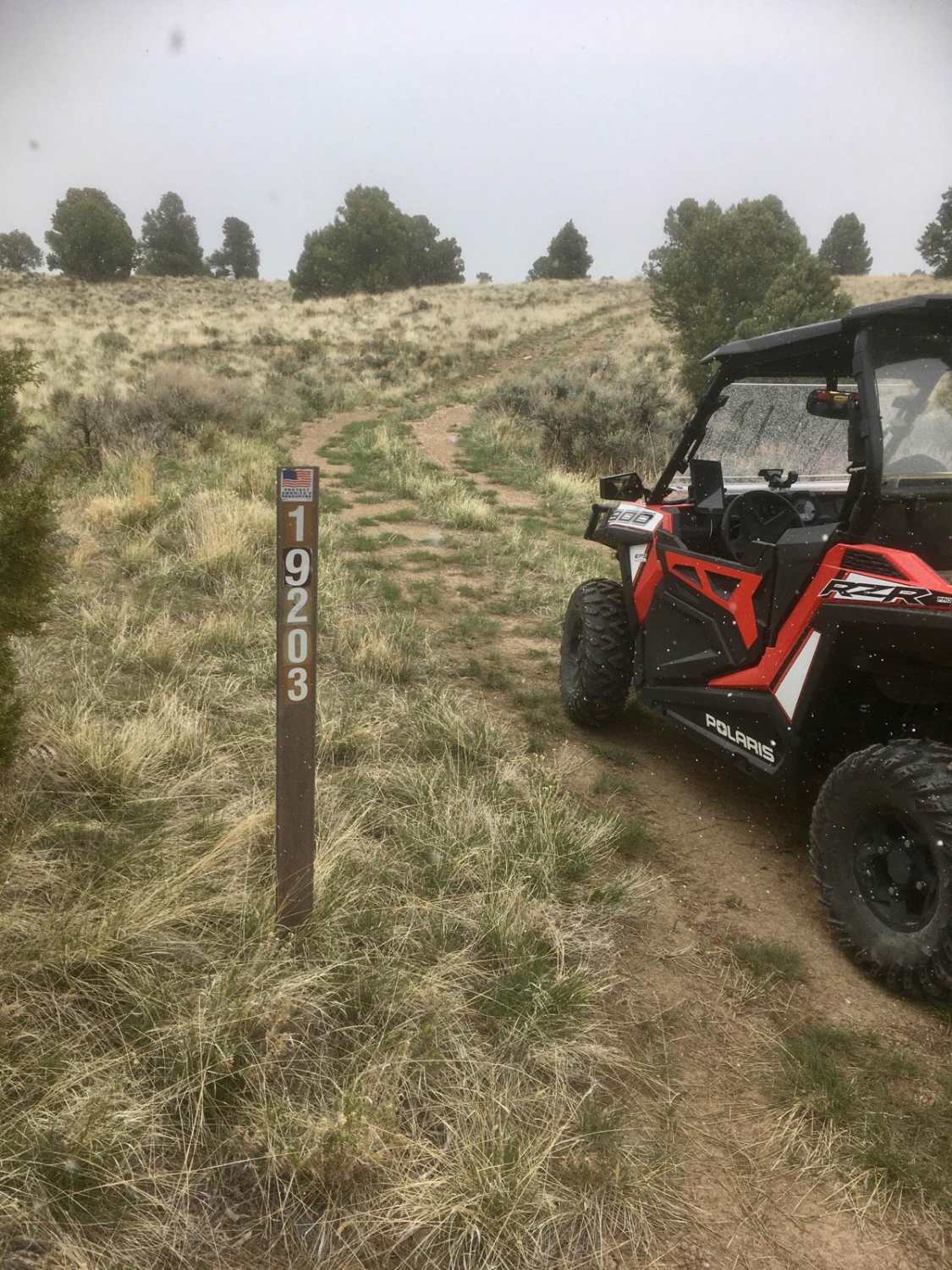
South Gallagher ATV Trail
Total Miles
4.1
Tech Rating
Easy
Best Time
Spring, Summer, Fall
Learn more about South Hot Springs Rd - BLM 206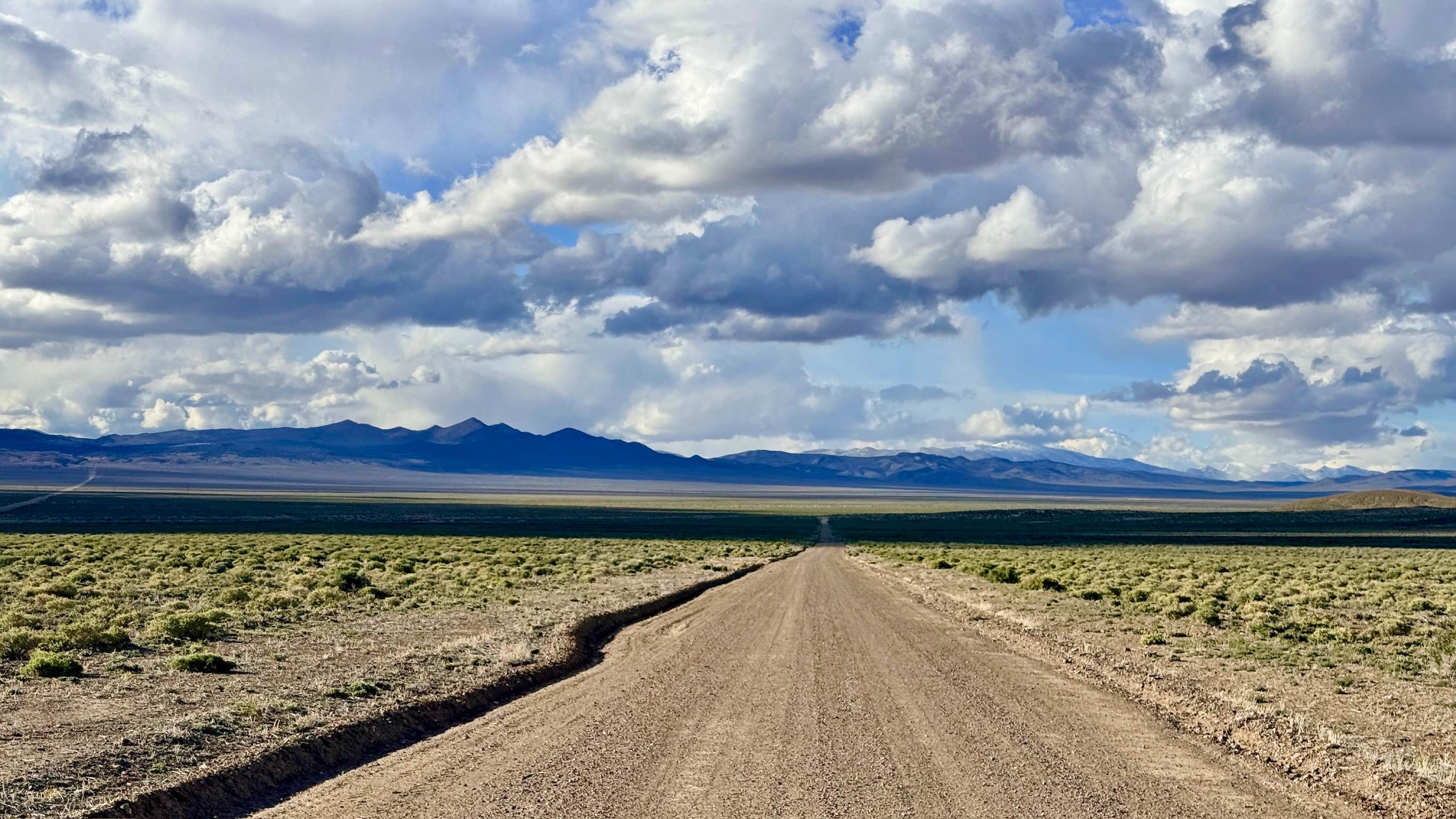
South Hot Springs Rd - BLM 206
Total Miles
1.8
Tech Rating
Easy
Best Time
Spring, Summer, Fall
Learn more about South Lowboy Mine FS43245
South Lowboy Mine FS43245
Total Miles
2.1
Tech Rating
Easy
Best Time
Spring, Summer, Fall
Learn more about South Old Highway Road
South Old Highway Road
Total Miles
11.7
Tech Rating
Easy
Best Time
Spring, Fall
Learn more about South Relief Canyon
South Relief Canyon
Total Miles
18.7
Tech Rating
Moderate
Best Time
Fall, Summer, Spring
Learn more about South Spencer - FS 43287
South Spencer - FS 43287
Total Miles
3.3
Tech Rating
Easy
Best Time
Spring, Summer, Fall
Learn more about South Trail McLeod Bypass - FS 43340
South Trail McLeod Bypass - FS 43340
Total Miles
1.8
Tech Rating
Easy
Best Time
Spring, Summer, Fall
Learn more about South Twin River - FS 44080
South Twin River - FS 44080
Total Miles
4.0
Tech Rating
Easy
Best Time
Spring, Summer, Fall
Learn more about South Wheeler Pass Road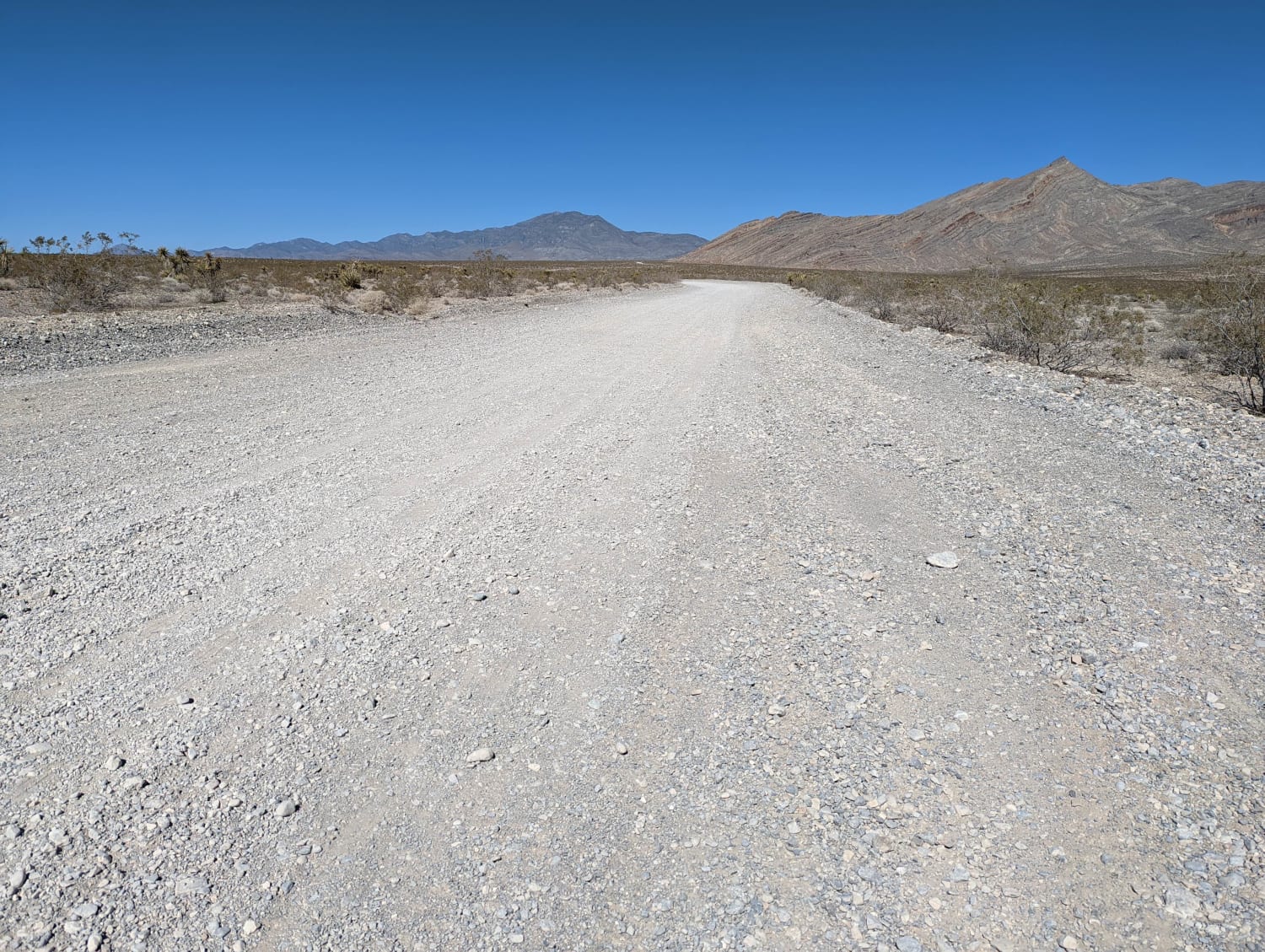
South Wheeler Pass Road
Total Miles
7.6
Tech Rating
Easy
Best Time
Spring, Summer, Fall, Winter
Learn more about Spanish Connector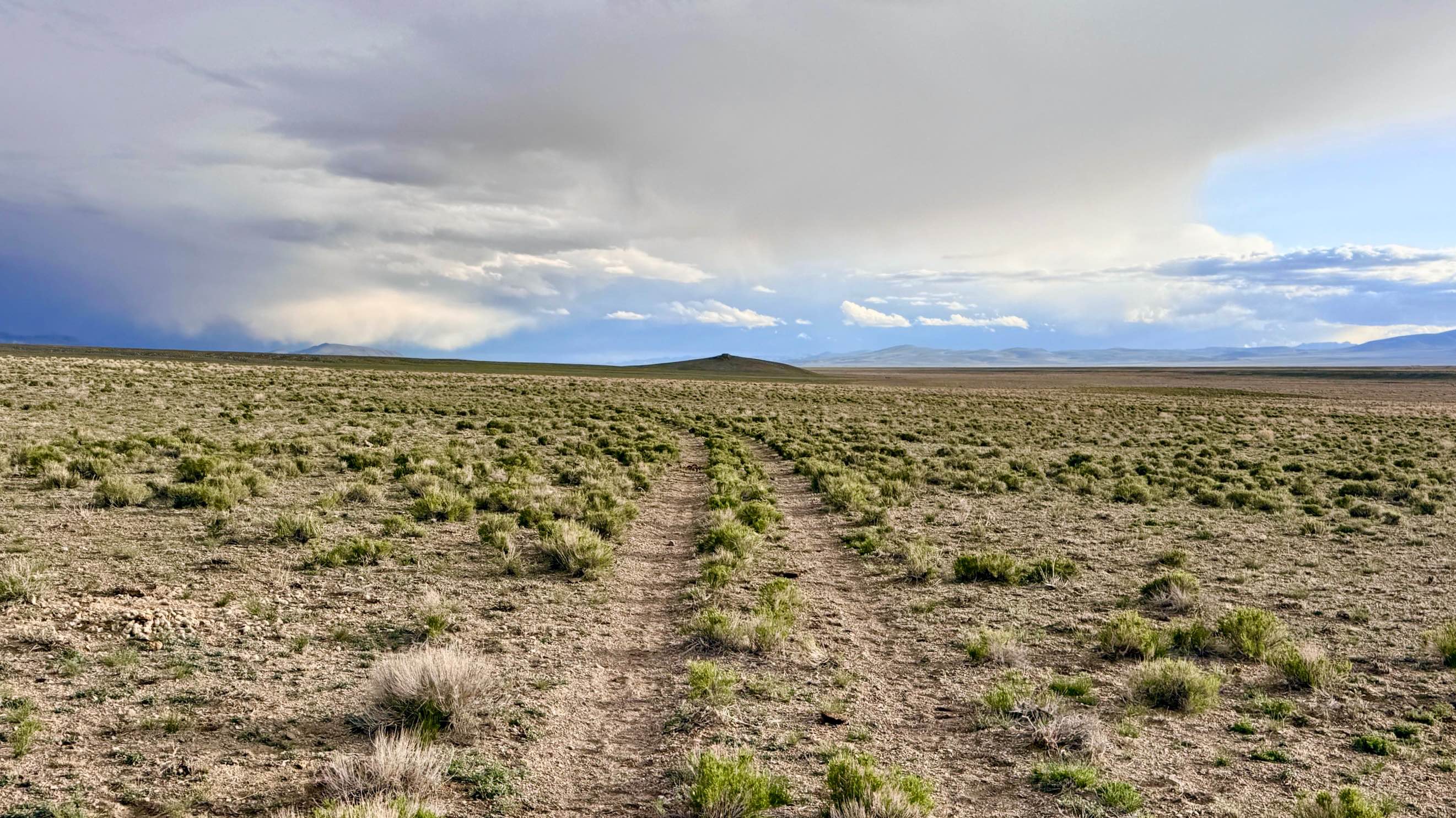
Spanish Connector
Total Miles
2.4
Tech Rating
Easy
Best Time
Spring, Summer, Fall
Learn more about Spanish Pipeline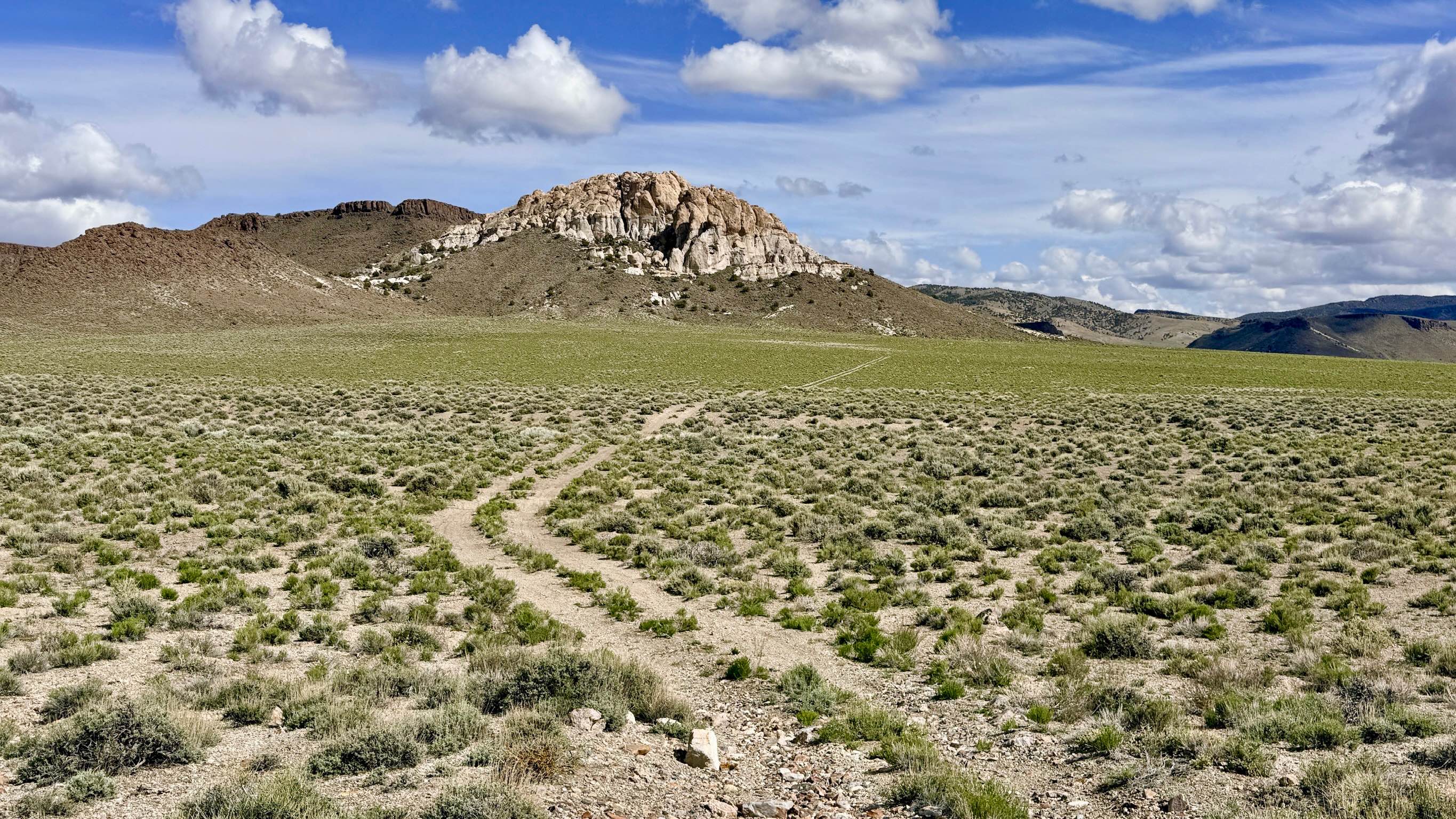
Spanish Pipeline
Total Miles
10.7
Tech Rating
Moderate
Best Time
Spring, Summer, Fall
Learn more about Spanish Spring - FS 44015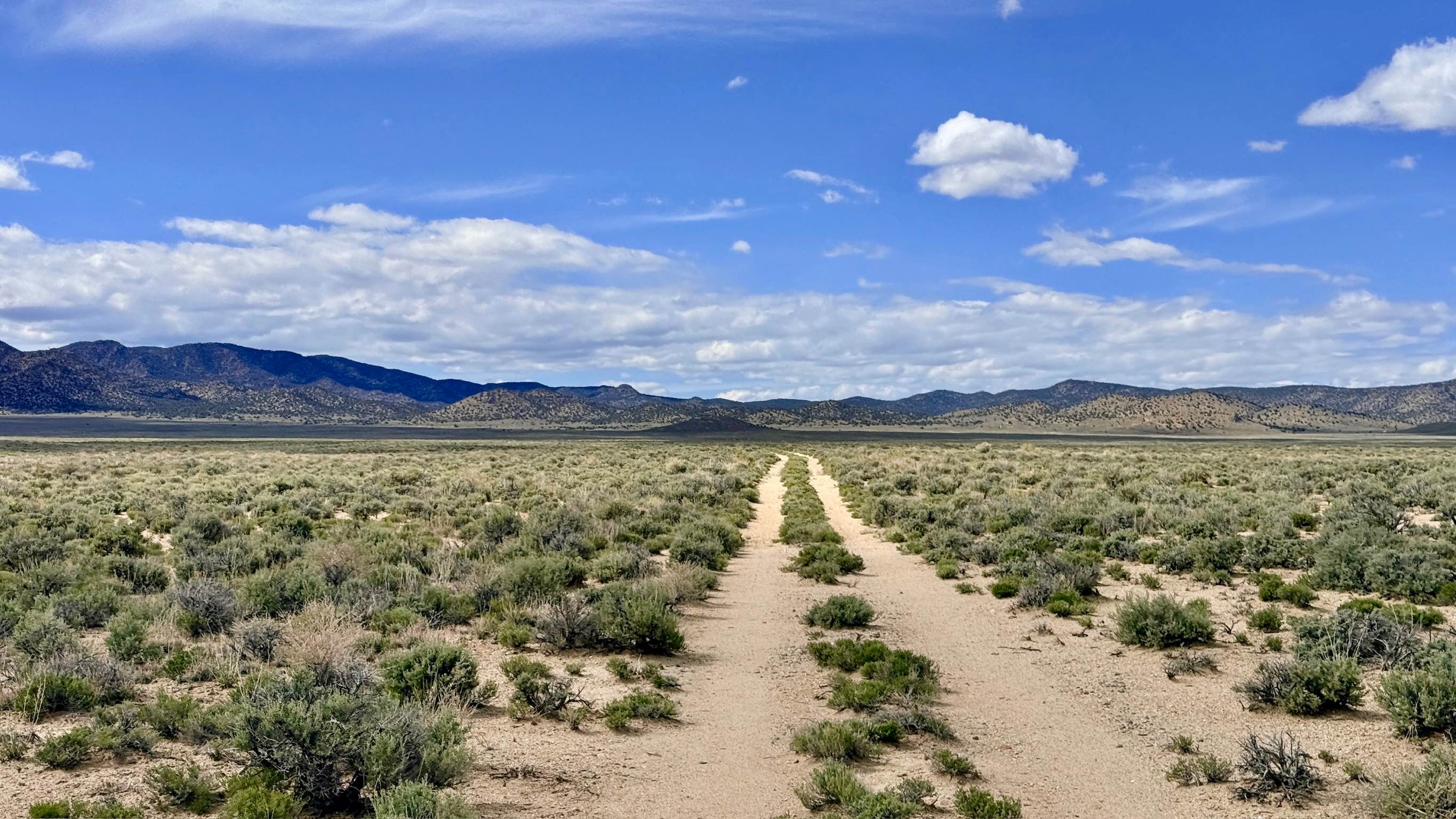
Spanish Spring - FS 44015
Total Miles
10.4
Tech Rating
Easy
Best Time
Spring, Summer, Fall
Learn more about Spanish Springs Foothills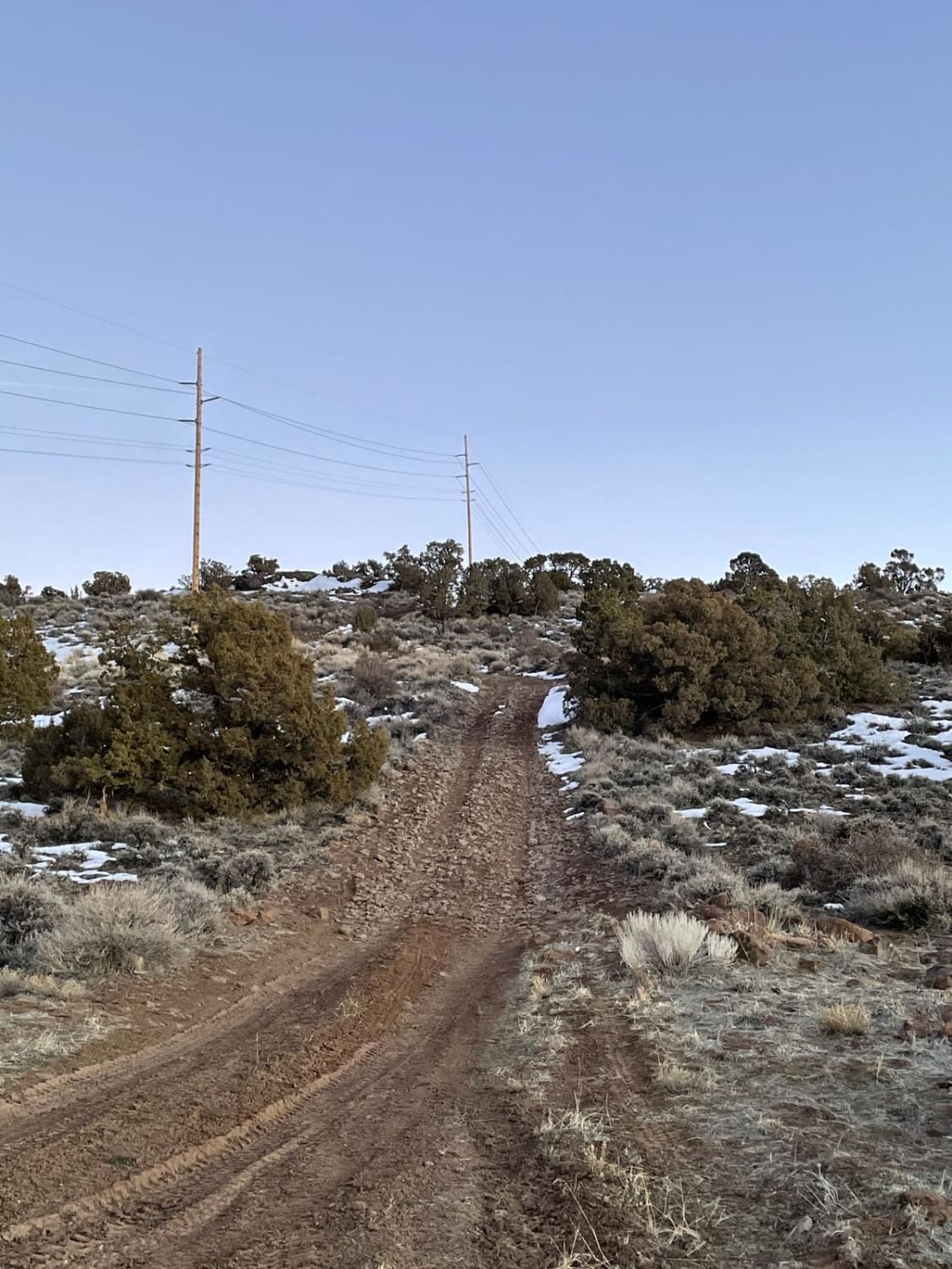
Spanish Springs Foothills
Total Miles
7.5
Tech Rating
Moderate
Best Time
Spring, Summer, Fall, Winter
ATV trails in Nevada
Learn more about "Just Found It" Trail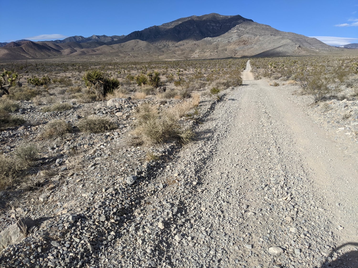
"Just Found It" Trail
Total Miles
3.4
Tech Rating
Easy
Best Time
Spring, Summer, Fall, Winter
Learn more about 13-Mile Loop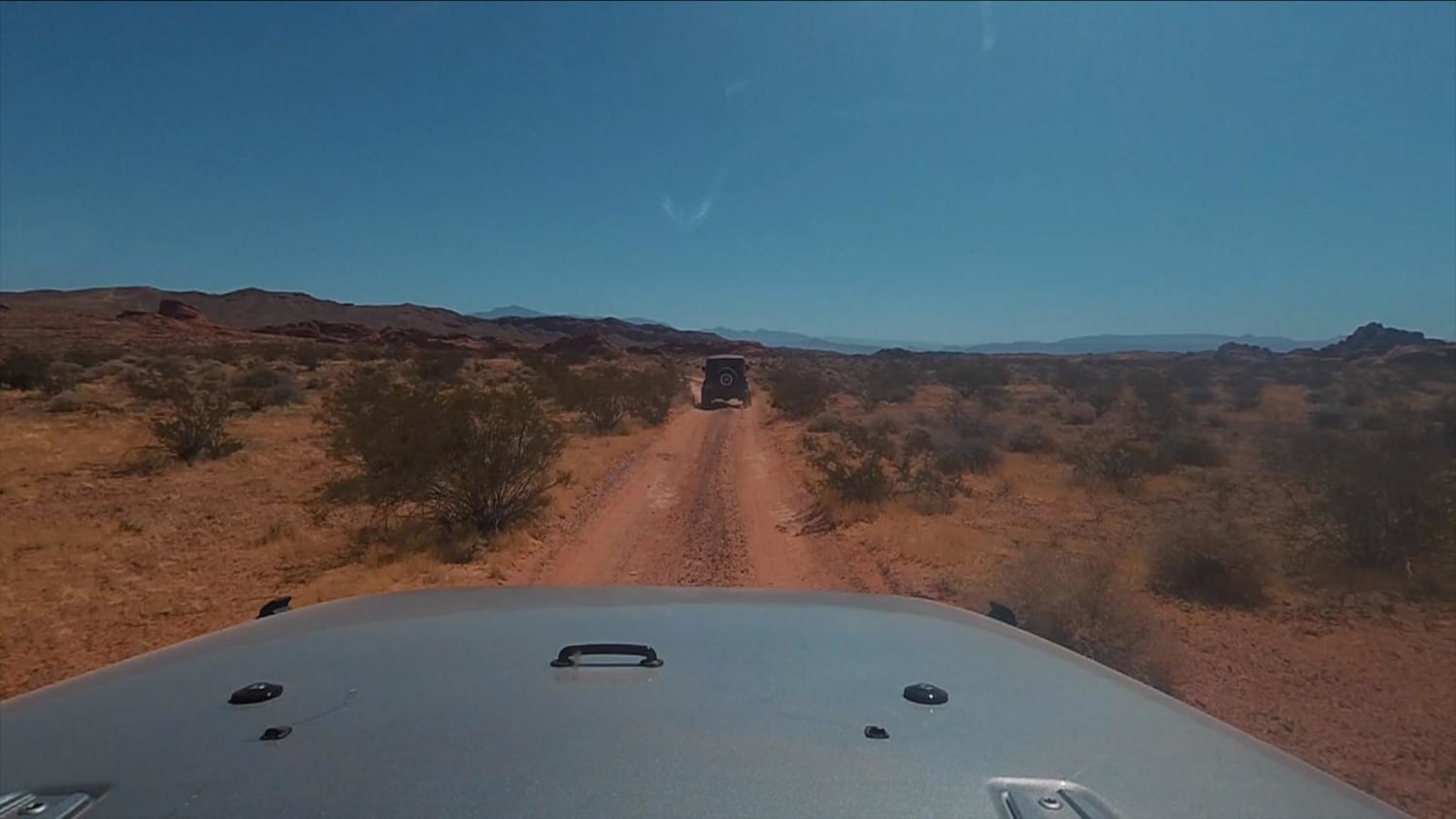
13-Mile Loop
Total Miles
17.4
Tech Rating
Easy
Best Time
Spring, Summer, Fall, Winter
Learn more about 1947 Bunker Trail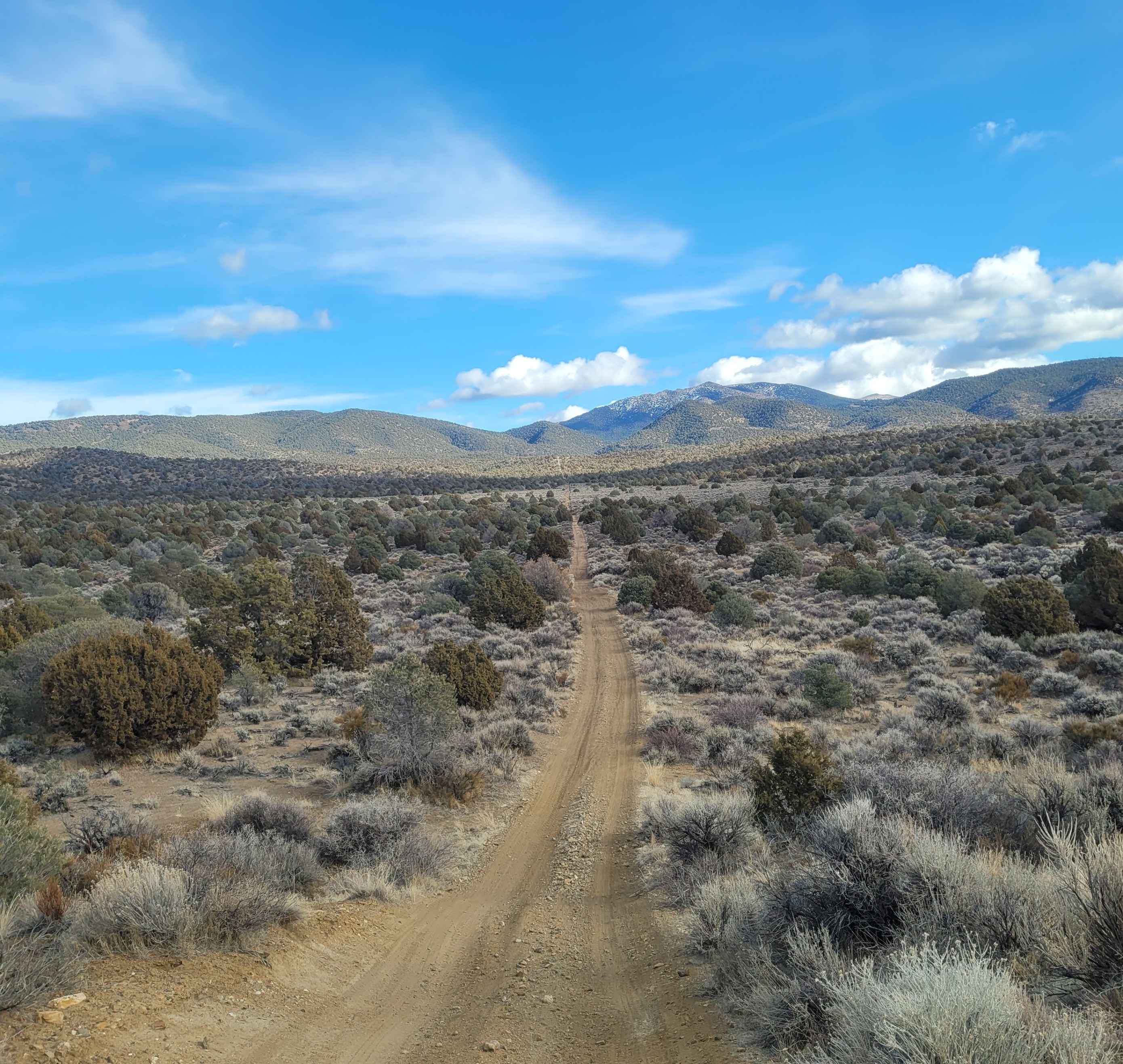
1947 Bunker Trail
Total Miles
6.5
Tech Rating
Easy
Best Time
Summer, Fall
Learn more about 265 Camping Crossover
265 Camping Crossover
Total Miles
2.3
Tech Rating
Easy
Best Time
Fall, Spring, Winter
UTV/side-by-side trails in Nevada
Learn more about "Just Found It" Trail
"Just Found It" Trail
Total Miles
3.4
Tech Rating
Easy
Best Time
Spring, Summer, Fall, Winter
Learn more about 13-Mile Loop
13-Mile Loop
Total Miles
17.4
Tech Rating
Easy
Best Time
Spring, Summer, Fall, Winter
Learn more about 1947 Bunker Trail
1947 Bunker Trail
Total Miles
6.5
Tech Rating
Easy
Best Time
Summer, Fall
Learn more about 265 Camping Crossover
265 Camping Crossover
Total Miles
2.3
Tech Rating
Easy
Best Time
Fall, Spring, Winter
The onX Offroad Difference
onX Offroad combines trail photos, descriptions, difficulty ratings, width restrictions, seasonality, and more in a user-friendly interface. Available on all devices, with offline access and full compatibility with CarPlay and Android Auto. Discover what you’re missing today!