Trail Overview
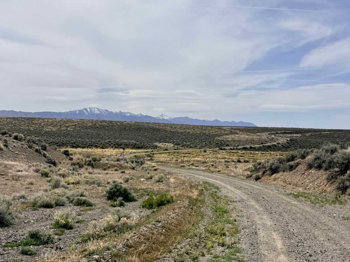
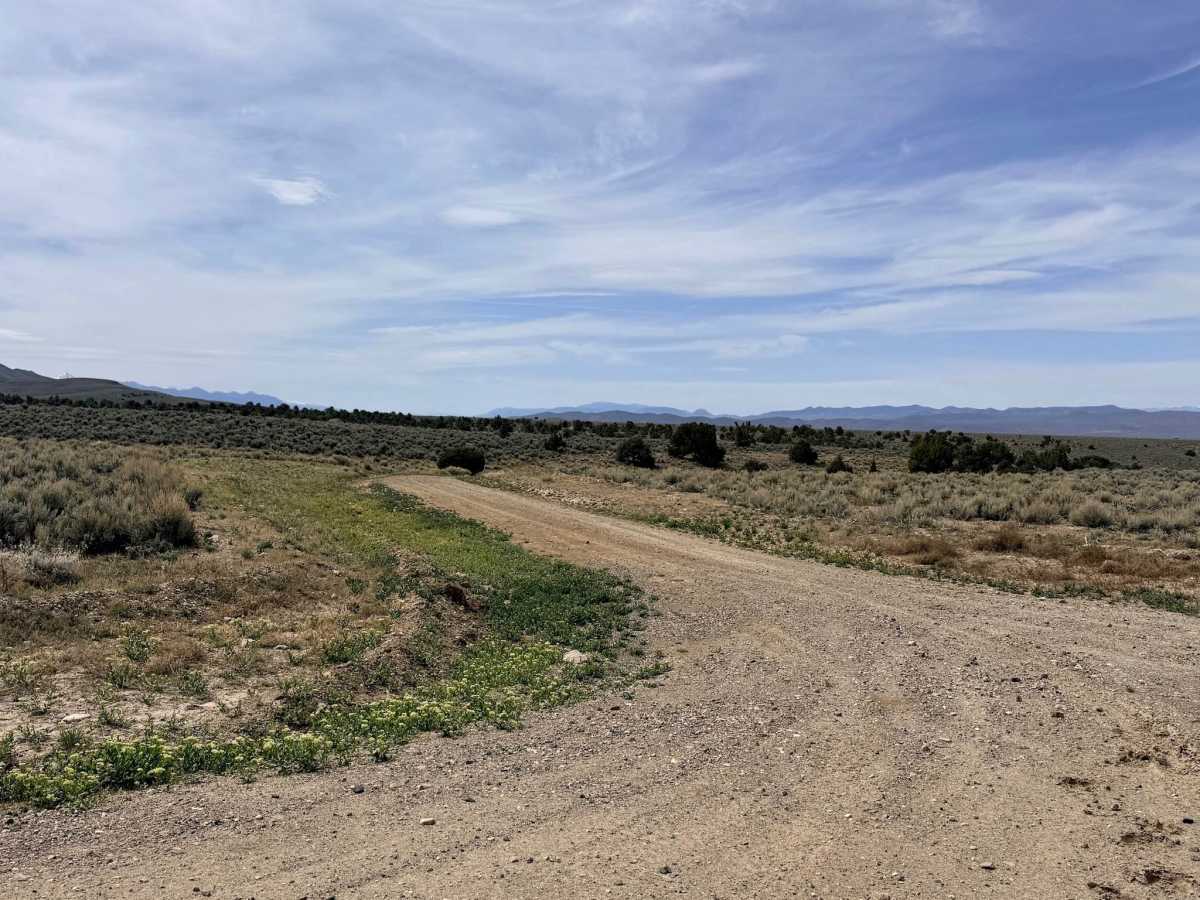
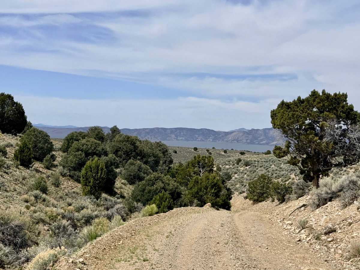
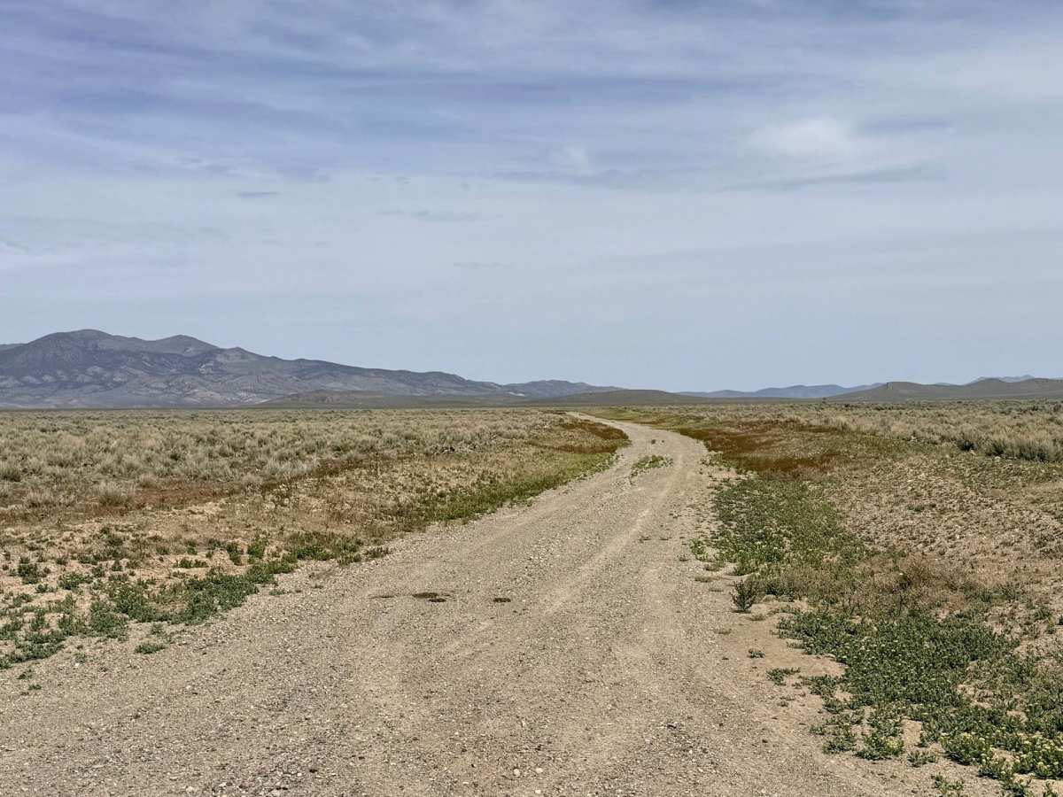
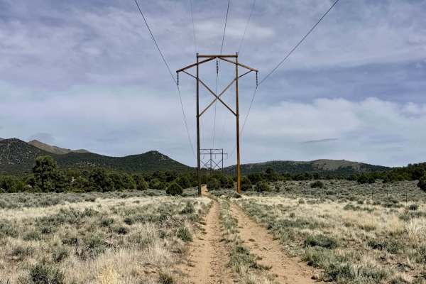
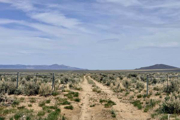
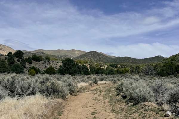
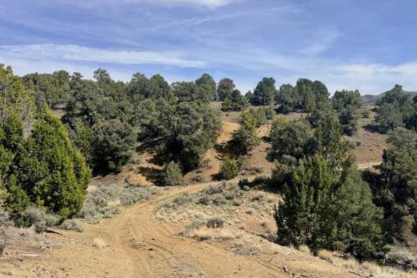
South Old Highway Road offers a classic Nevada high-desert driving experience, tracing a path through the wide-open Reese River Valley. This dirt route serves as a historical bypass between the legendary town of Austin and the northern valleys. For much of the trip, the road is wide with ample room for oncoming traffic to pass, allowing for some faster sections where the dust can really fly.
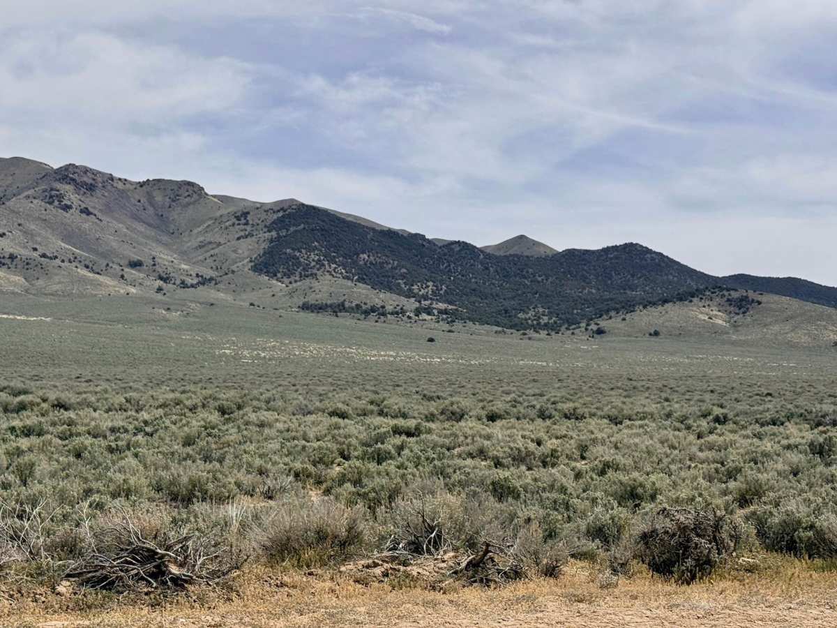
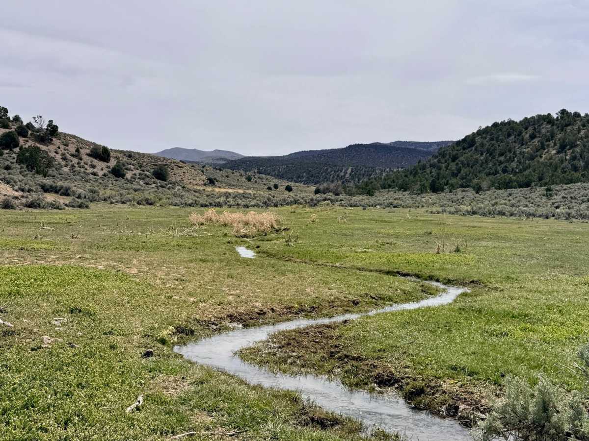
As you travel, you are treated to sweeping, 360-degree views of the rugged mountain ranges that define this "Basin and Range" territory. The landscape is a sea of sagebrush, providing a perfect habitat for the local Sage Grouse population. While the driving is generally straightforward, keep a sharp eye out for deep washouts that can "sneak up" on you, particularly after recent rains. The road surface is primarily dirt, which can quickly turn into treacherous, impassable gumbo during a storm or during the spring thaw. This road has no winter maintenance and can become completely impassable when wet. If rain is in the forecast, the alkaline soil becomes incredibly sticky and dangerous for travel. Signal is highly variable. It begins as a single bar of 3G near Silver Creek Road but improves to three bars of LTE as you approach the outskirts of Austin. Download offline maps to ensure continuous navigation. This is remote country. Travel with at least one gallon of water per person per day, extra fuel, and a full-sized spare tire.
History
Before the modern pavement of Highway 305 existed, routes like this "Old Highway" were the primary arteries for central Nevada. This corridor sits just north of Austin, which exploded onto the map in 1862 after a former Pony Express rider discovered silver in the nearby hills. This specific valley floor likely saw the passage of thousands of prospectors, freight wagons, and stagecoaches during the peak of the silver rush. Driving here is a literal trip through the infrastructure of Nevada's frontier history.