South Relief Canyon
Total Miles
18.7
Technical Rating
Best Time
Fall, Summer, Spring
Trail Type
Full-Width Road
Accessible By
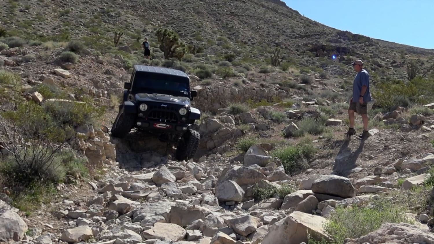
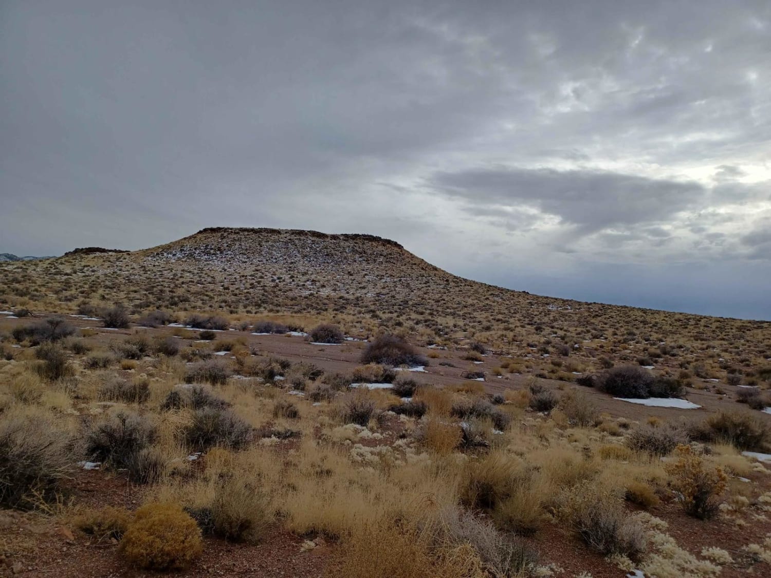
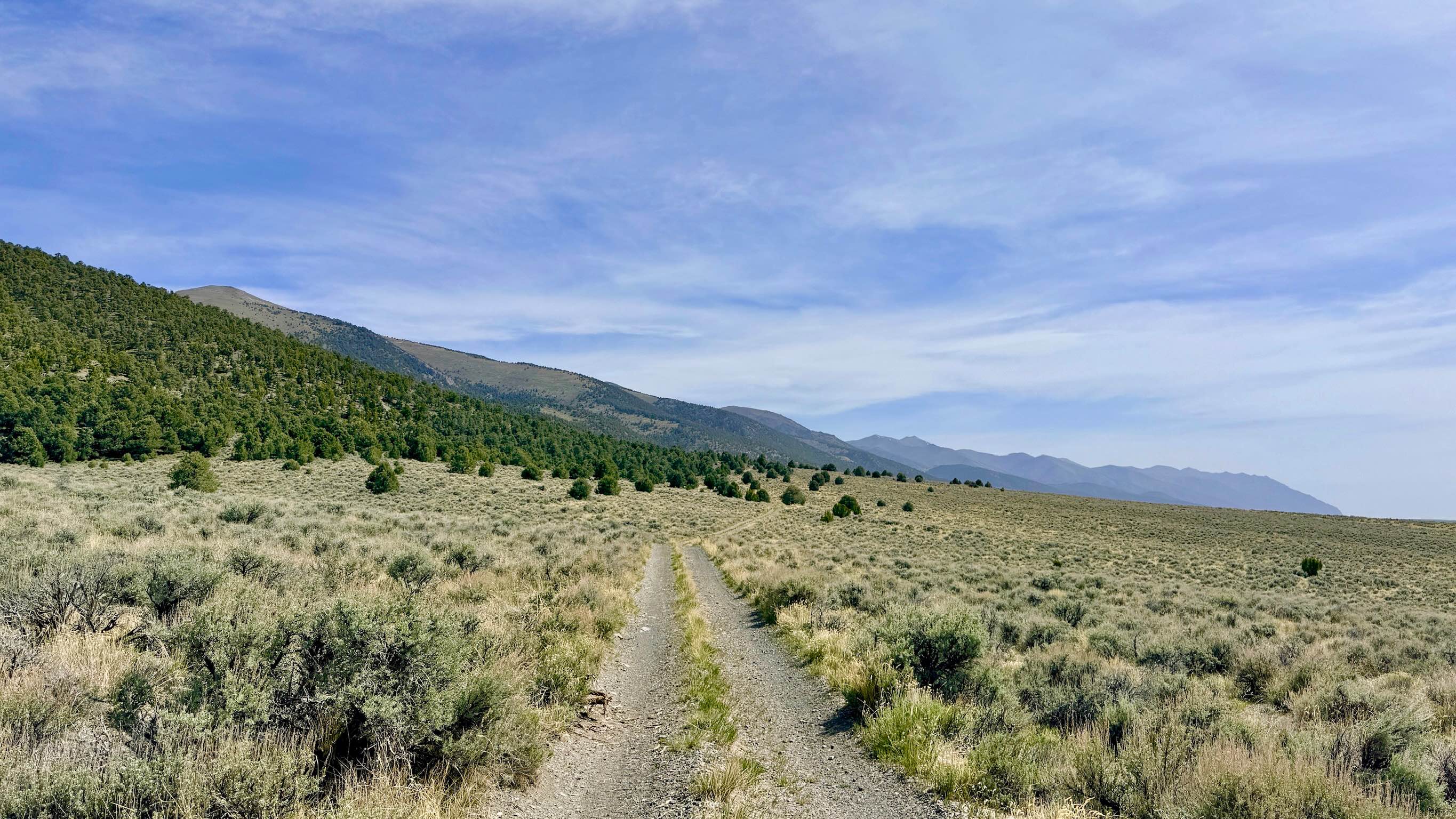
Trail Overview
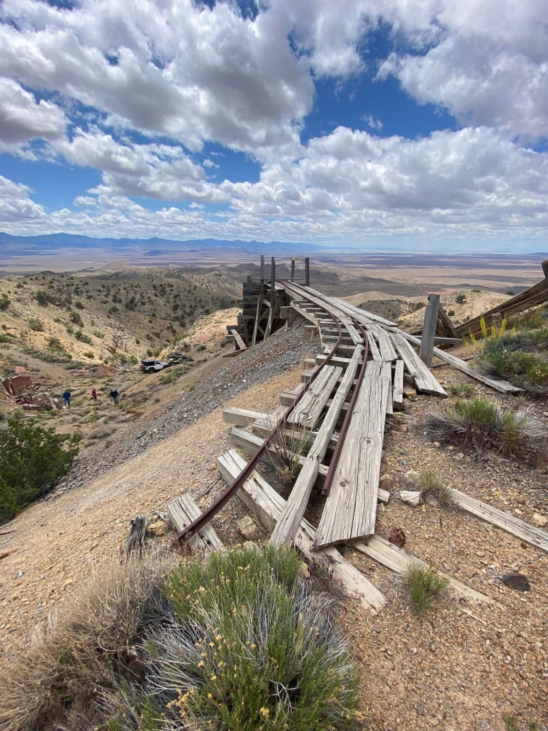
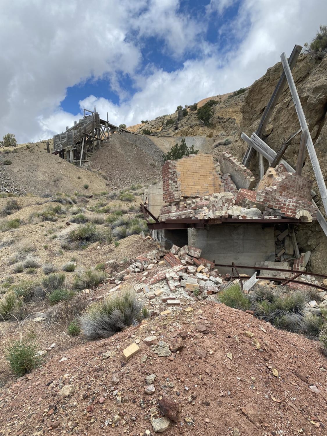
This canyon is comprised of old mining roads that have seen decades of erosion. You start down at Packard Flat. This area has flour-fine dirt that will cover everything in dust. Proceeding to the top of the hill is Red Bird Mine. The road is cut narrow into the side mountain and has been eroded over the years. From the top of the hill, you will head down to the valley floor to check out more mines till you end at the main Coal Canyon Road.
Photos of South Relief Canyon
Difficulty
The trail starts off with silty dust with the potential to bury yourself. It's a narrow road at the top of the hill that has been eroded over the years.
History
Many of the mines up on the hill were mining mercury. Most of the sites still have furnaces and retorts to capture the mercury. Cinnabar ore, cherry red to neon pink in color, is baked in the furnace to cook off the mercury which is then captured in gas form by a series of pipes where it condenses into liquid metal. The large open pit mines on the valley floor are iron mines.
South Relief Canyon can be accessed by the following ride types:
- High-Clearance 4x4
- SUV
- SxS (60")
- ATV (50")
- Dirt Bike
South Relief Canyon Map
Popular Trails
Tie Rod Canyon
Penoyer Spring Road

Radio Tower Single Track
Dry Canyon Alternate - FS 43231
The onX Offroad Difference
onX Offroad combines trail photos, descriptions, difficulty ratings, width restrictions, seasonality, and more in a user-friendly interface. Available on all devices, with offline access and full compatibility with CarPlay and Android Auto. Discover what you’re missing today!