Spanish Connector
Total Miles
2.4
Technical Rating
Best Time
Spring, Summer, Fall
Trail Type
Full-Width Road
Accessible By
Trail Overview
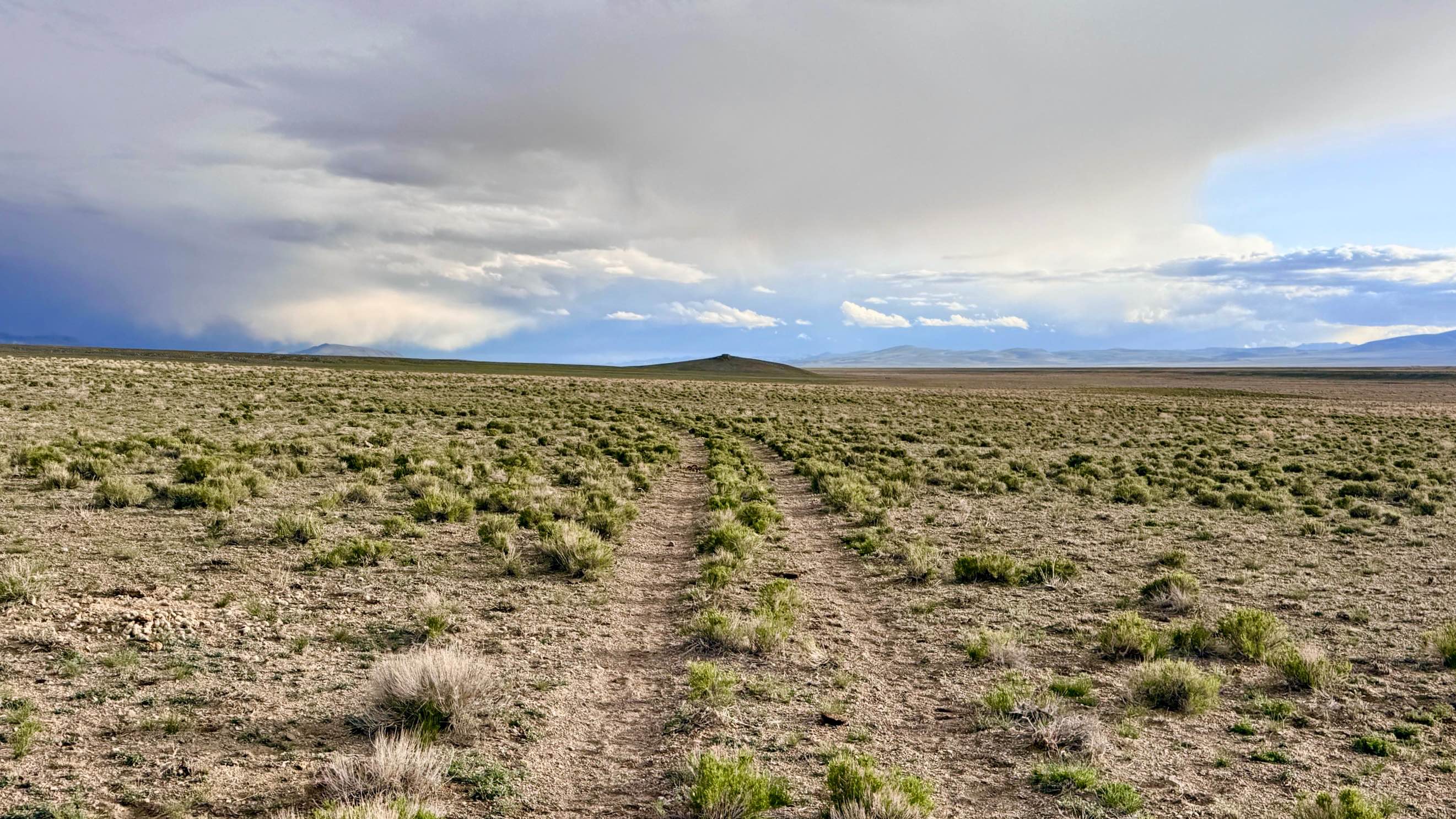
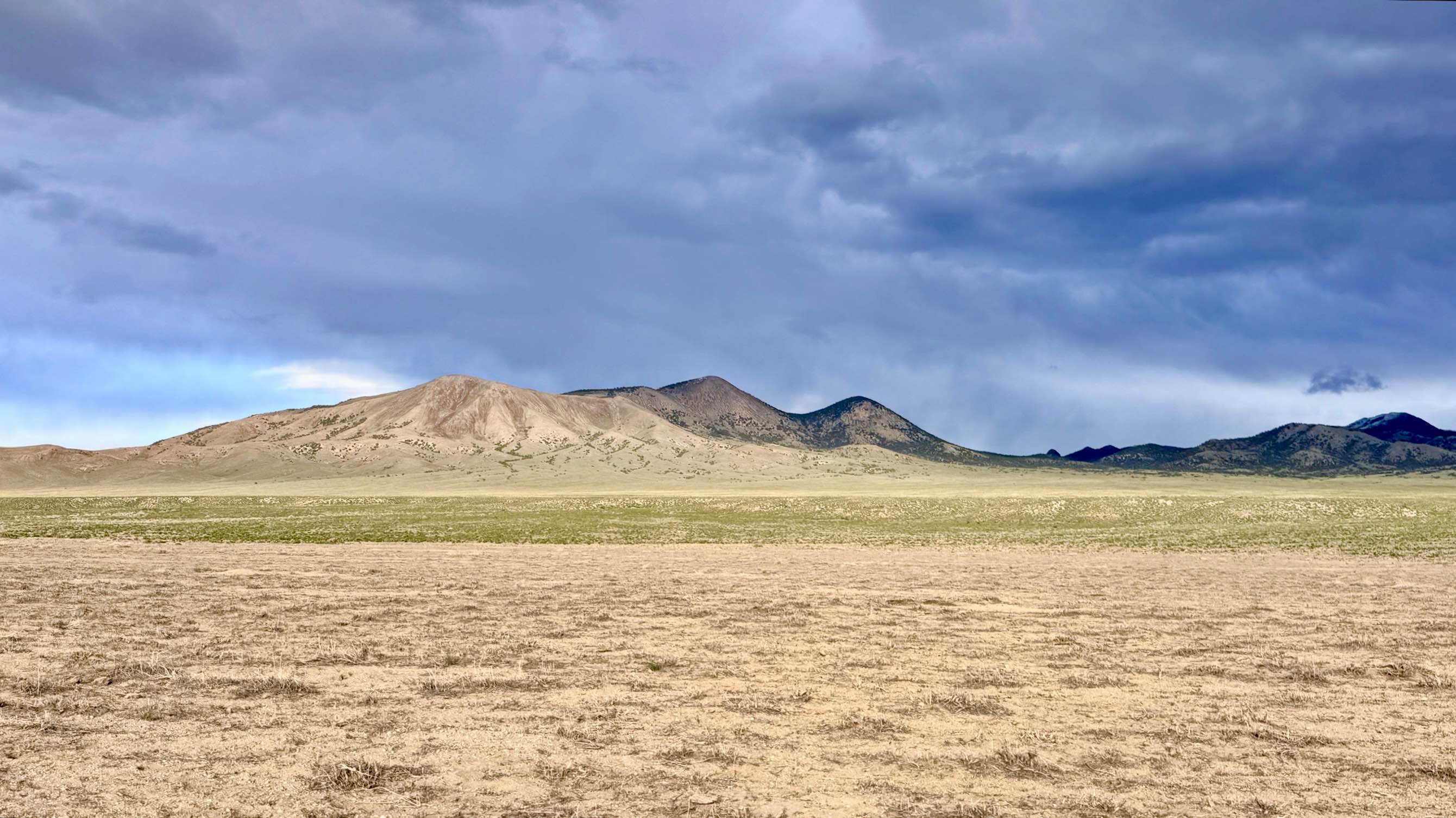
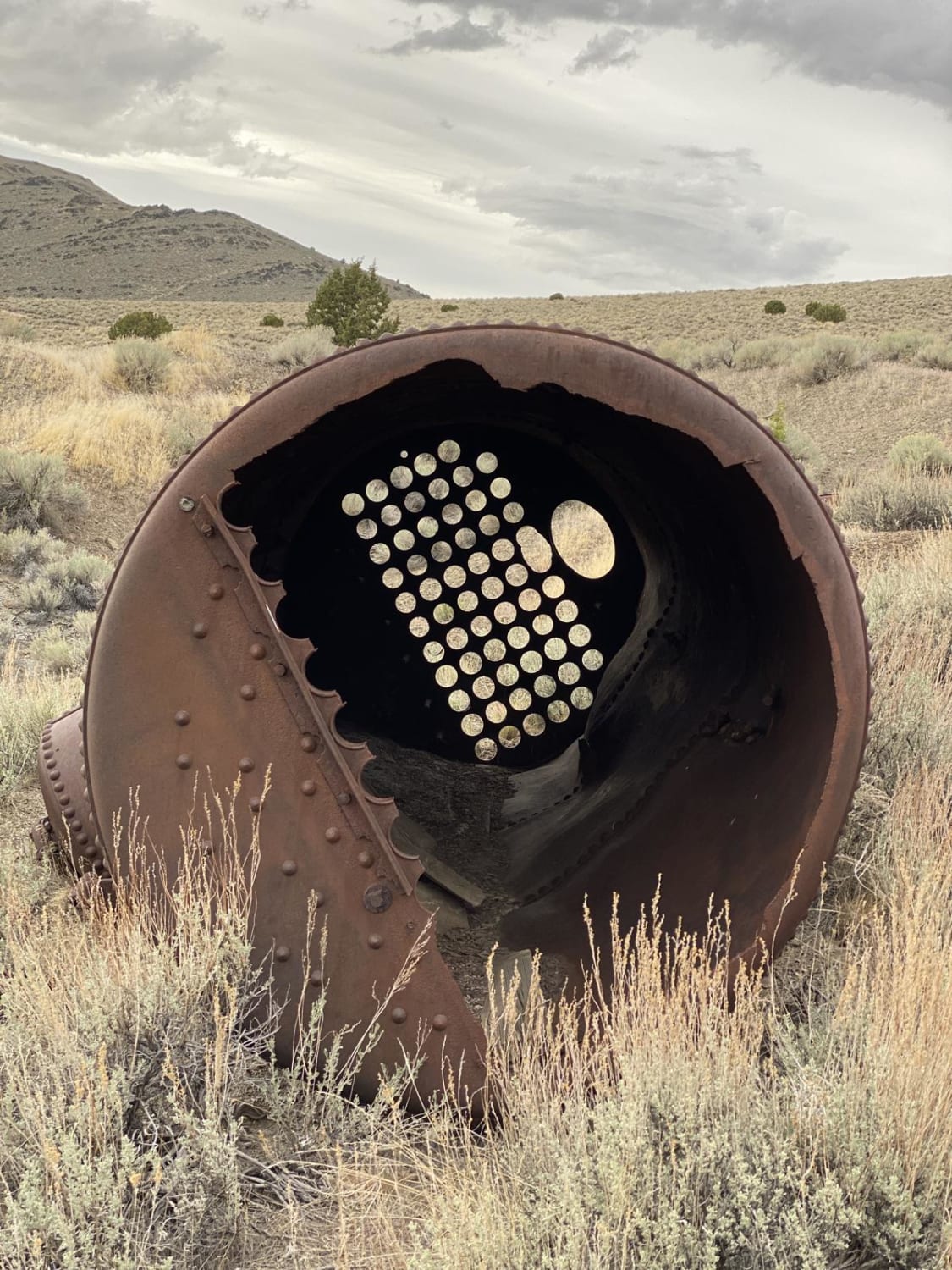
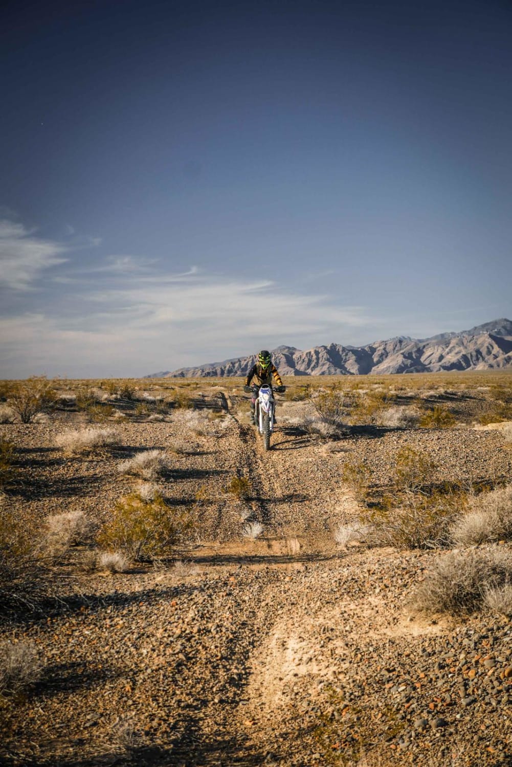
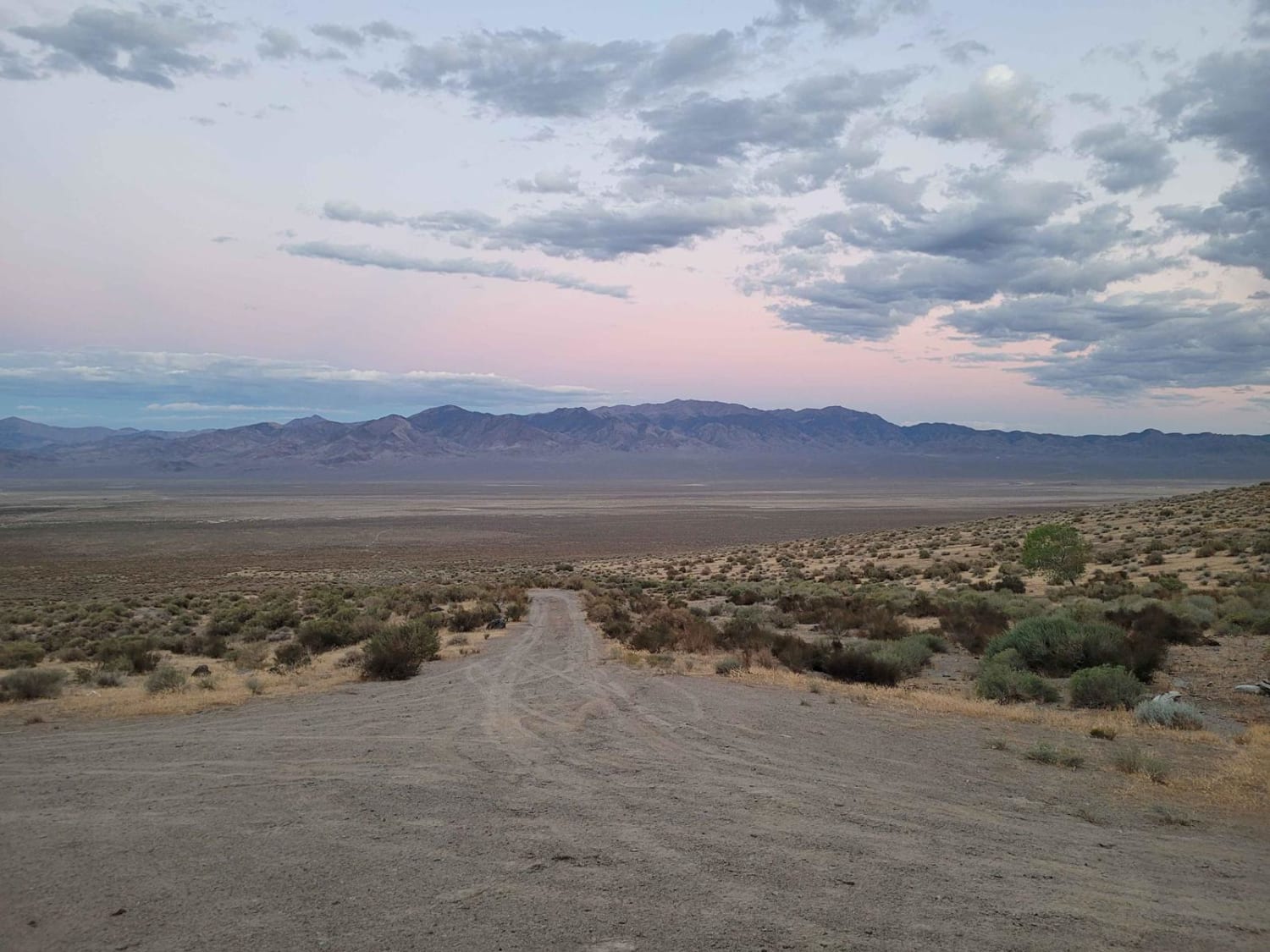
The Spanish Connector serves as a scenic "relief valve" for the more technical Spanish Pipeline system. This route was established specifically to allow explorers to access the heart of the Spanish Pipeline while bypassing the extreme "gatekeeper" wash crossing found at its primary southern entrance. While this connector is the "easier" option, it is by no means a simple highway; the drive is engaging and keeps you focused as you transition toward the high buttes of the Toiyabe foothills. The trail winds through a classic sagebrush sea, offering a high probability of encountering the area's iconic wildlife, including large bands of wild mustangs and Pronghorn Antelope. Drivers should remain vigilant, as the route is punctuated by several deep wash crossings. While less extreme than those on the main pipeline trail, these washes still feature steep entry and exit angles that require careful tire placement. A unique highlight of this trail is a middle section that traverses a small dry lake bed. Navigating this stretch can be a fun challenge, as the tracks frequently "blow away" or are washed smooth by seasonal rains, requiring a keen eye for wayfinding to stay on the correct path. Avoid the dry lake bed section during or immediately after a rainstorm. These alkaline flats can turn into a bottomless, sticky trap that makes recovery nearly impossible. Expect zero cell service on this connector. The high ridges of the surrounding buttes block all signals. Download offline maps before heading out to ensure you can navigate the lake bed and junctions correctly. Nevada is arid and remote. Carry at least one gallon of fresh water per person per day.
Photos of Spanish Connector
Difficulty
Rated a 3 due to the frequency of deep wash crossings and the navigational complexity of the dry lake bed. High clearance is recommended, and drivers of stock SUVs should take a slow, angled approach to the washes to protect their bodywork. The dry lake bed section can be disorienting when the wind has erased previous tracks. Stay focused on your GPS heading and look for the exit point on the far side of the flats to avoid wandering off-trail.
Status Reports
Spanish Connector can be accessed by the following ride types:
- High-Clearance 4x4
- SUV
- SxS (60")
- ATV (50")
- Dirt Bike
Spanish Connector Map
Popular Trails
7 Troughs Range
Boyer Ranch
The onX Offroad Difference
onX Offroad combines trail photos, descriptions, difficulty ratings, width restrictions, seasonality, and more in a user-friendly interface. Available on all devices, with offline access and full compatibility with CarPlay and Android Auto. Discover what you’re missing today!