South Fork Birch Creek Road - NF43243
Total Miles
1.9
Technical Rating
Best Time
Spring, Summer, Fall
Trail Type
Full-Width Road
Accessible By
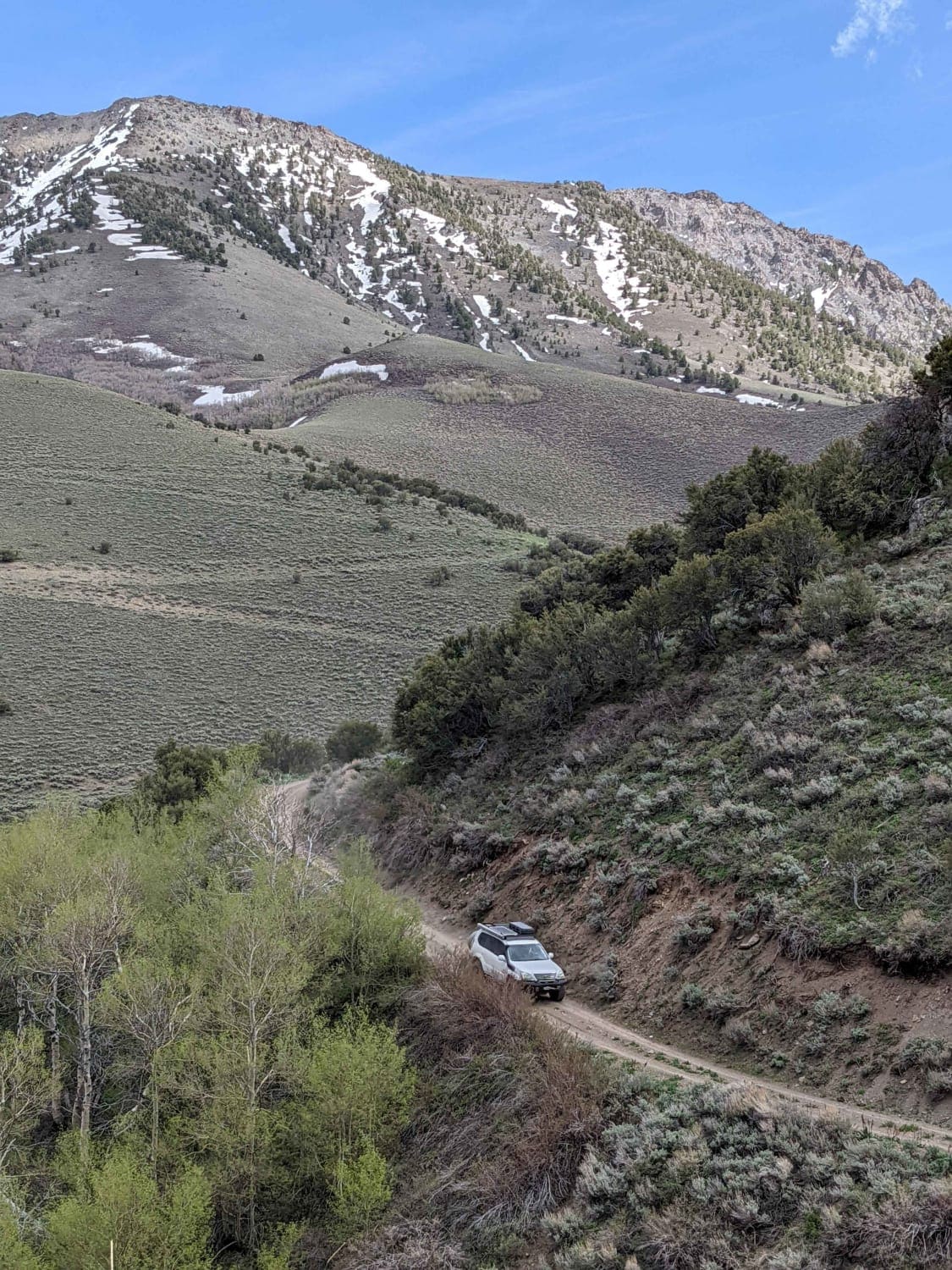
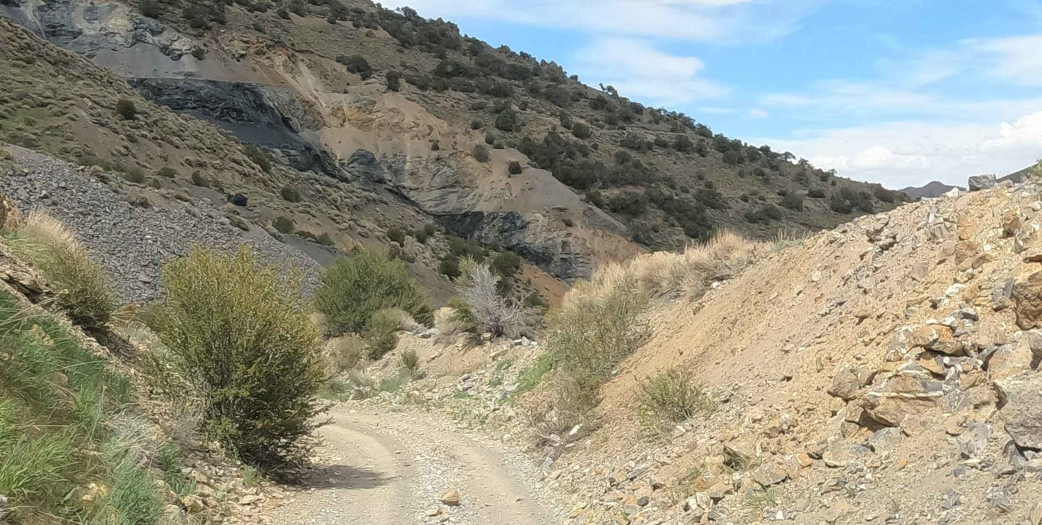
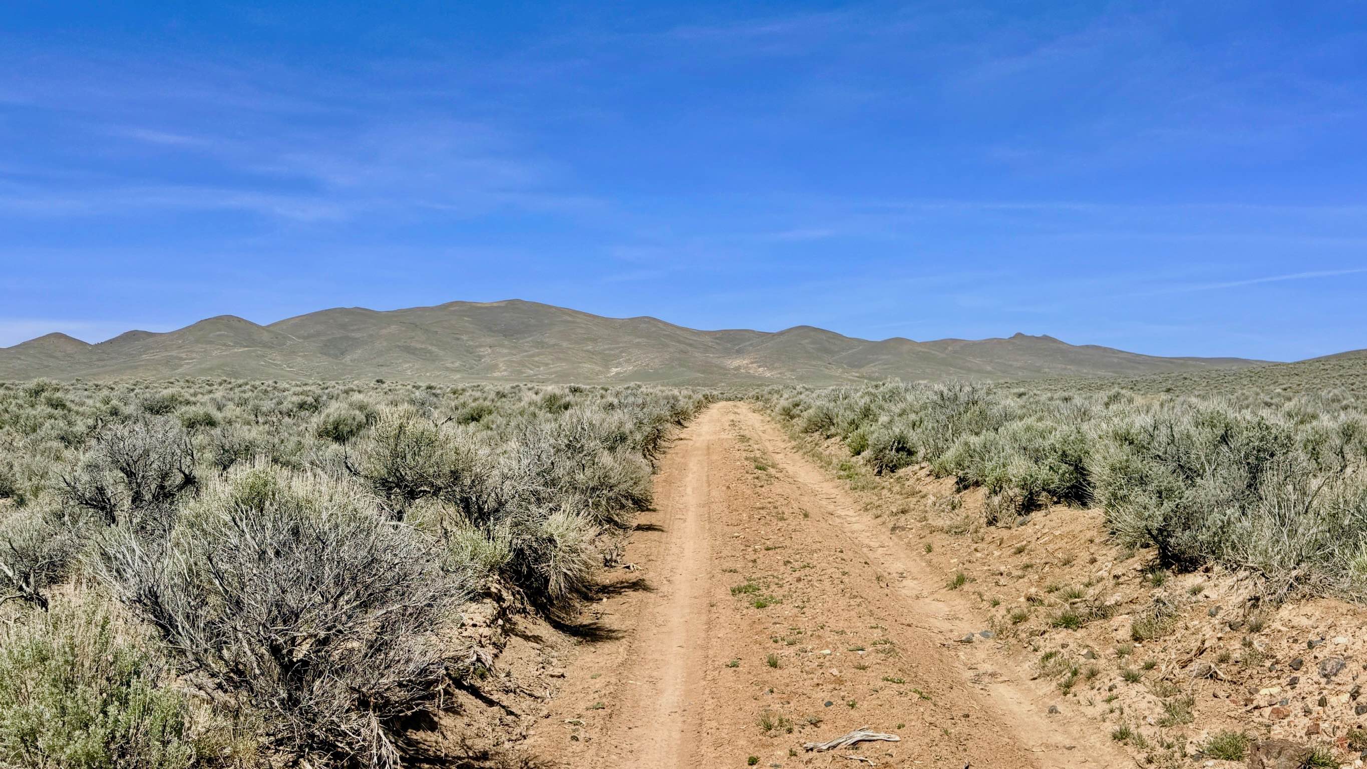
Trail Overview
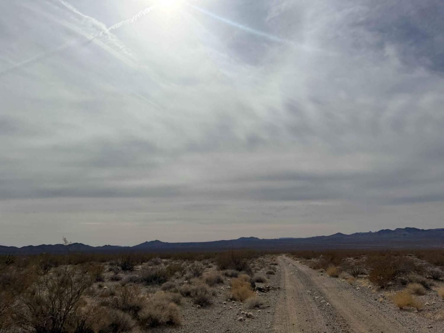
Climbing up out of Birch Creek Canyon to join Dry Canyon Road at almost 9,000 feet, this road is a well-maintained gravel Forest Service road. It features a small number of level dispersed camping spots with incredible views of nearby North Toiyabe Peak, which rises to 10,699 feet. It is also part of the Gold Venture Loop which passes by several mines in the area. This high-country road is not maintained in the winter and will likely be snowbound until late May.
Photos of South Fork Birch Creek Road - NF43243
Difficulty
This is an easy gravel road.
Status Reports
South Fork Birch Creek Road - NF43243 can be accessed by the following ride types:
- High-Clearance 4x4
- SUV
South Fork Birch Creek Road - NF43243 Map
Popular Trails
Willow Creek Connector/Bypass - FS 43497+98
Joe May Road
Wash and Roll

Lucy Gray Tower
The onX Offroad Difference
onX Offroad combines trail photos, descriptions, difficulty ratings, width restrictions, seasonality, and more in a user-friendly interface. Available on all devices, with offline access and full compatibility with CarPlay and Android Auto. Discover what you’re missing today!