Old Narrow Gage trail
Total Miles
5.9
Technical Rating
Best Time
Winter, Fall, Spring
Trail Type
60" Trail
Accessible By
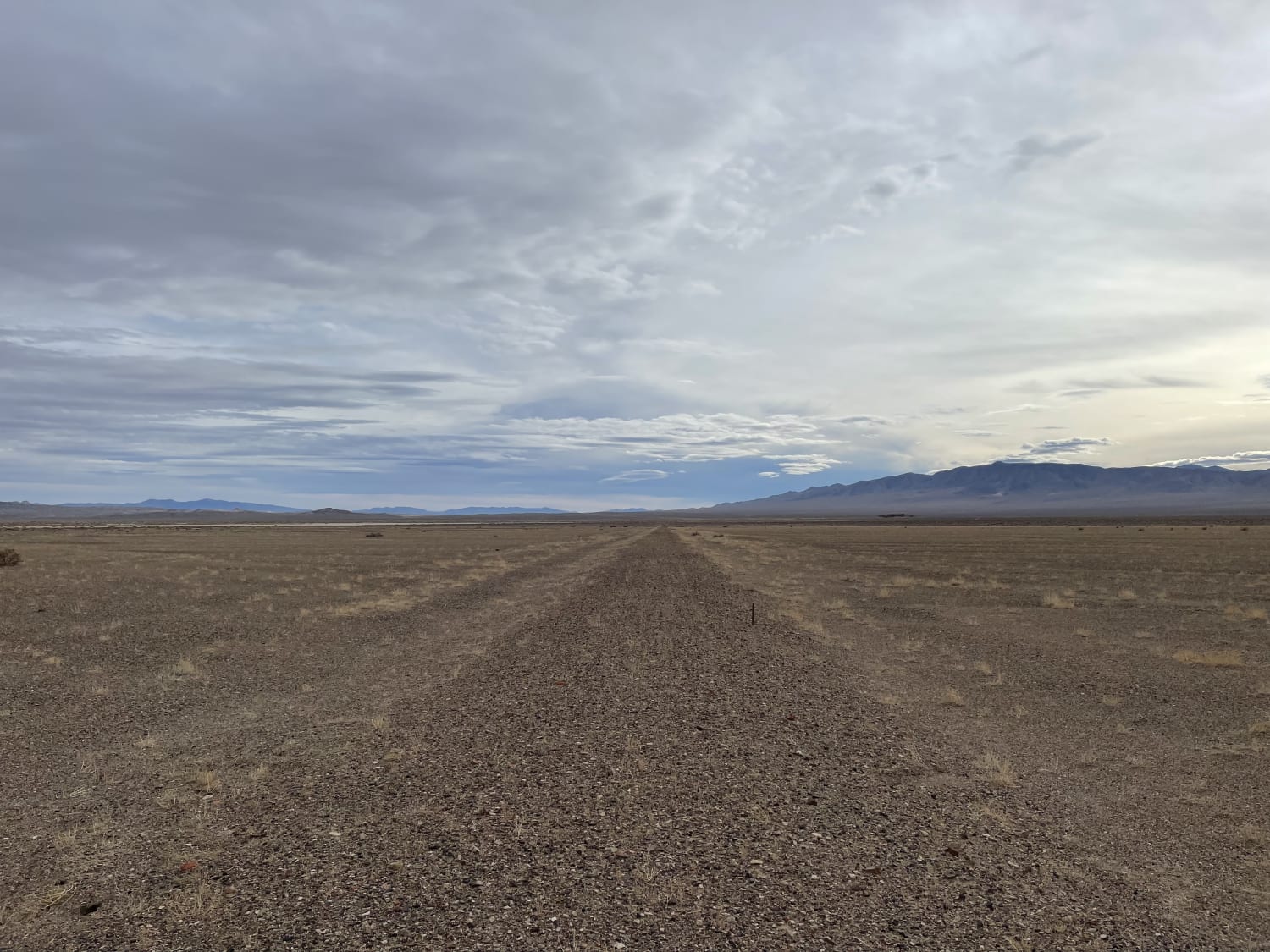
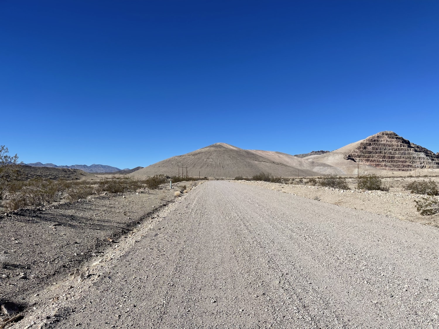
Trail Overview
This is a very rutted, soft, and technical ride along the edge of an old dry lake bed in the great Smoky Valley. Be aware of many deep washouts and look out for vehicle tracks veering off the main trail to avoid the washouts--it's a good sign that a big one is coming up. Sections of the trail almost seem to disappear as you get to washed out areas; the sand can get deep quickly. Do not attempt this when wet, and only ride on a moto, ATV, or SXS. There is full LTE service.
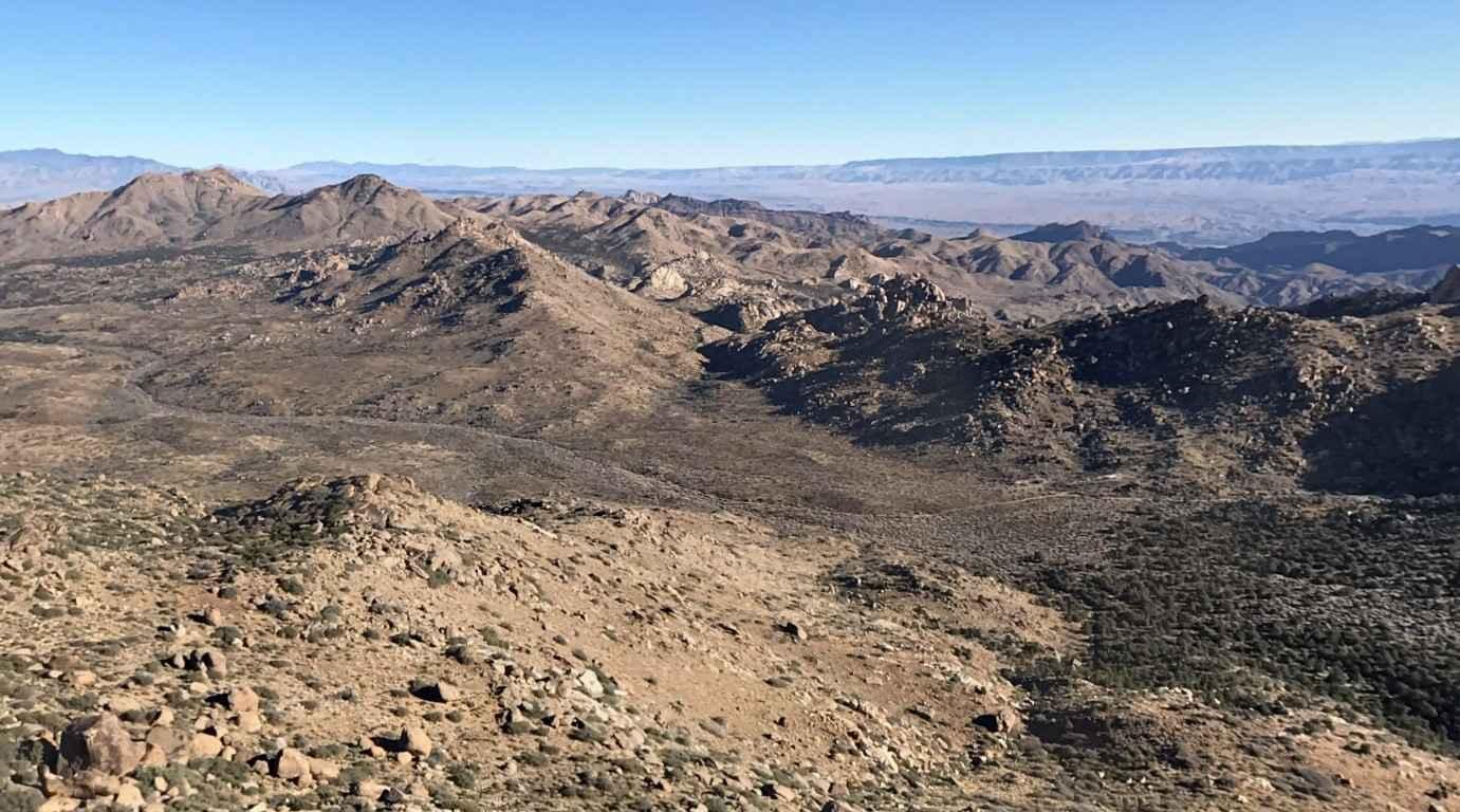
Photos of Old Narrow Gage trail

Difficulty
Soft sand, narrow sections, deep washouts, and careful navigation are needed. It's an older, seldom-traveled trail.
Status Reports
Old Narrow Gage trail can be accessed by the following ride types:
- SxS (60")
- ATV (50")
- Dirt Bike
Old Narrow Gage trail Map
Popular Trails
Scanlon Ferry Road
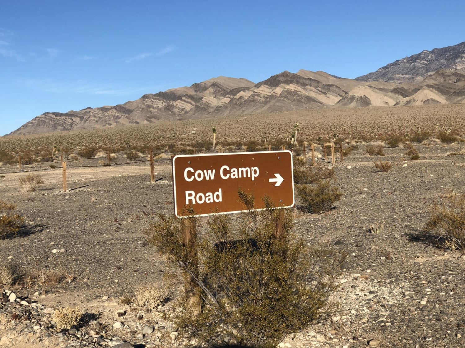
Cow Camp Road
Stewart's Point
Old Railroad Grade Road
The onX Offroad Difference
onX Offroad combines trail photos, descriptions, difficulty ratings, width restrictions, seasonality, and more in a user-friendly interface. Available on all devices, with offline access and full compatibility with CarPlay and Android Auto. Discover what you’re missing today!