2 trails found in Nevada
Which "carpenter bypass" are you looking for?
We found 2 off-road trails in Nevada matching your search. Pick the one you're looking for below.
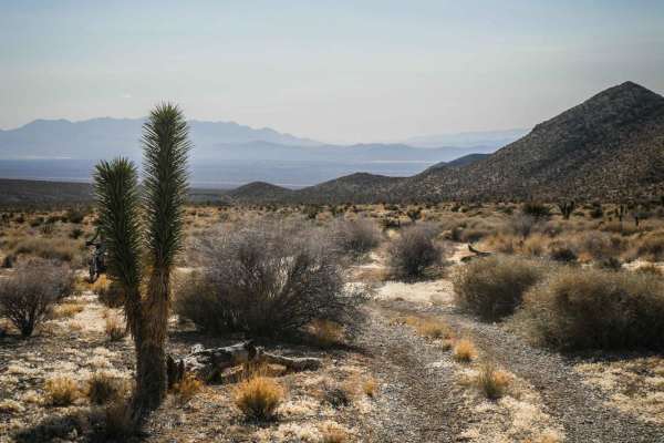
Carpenter Wash Bypass
Carpenter Wash Bypass can be ridden in connection with several other single-track trails in the Pahrump BLM for a fun day ride in the desert. Stage off of Carpenter Canyon Road, or connect to this trail from Wheeler Pass by some of the jeep roads in this area. The north end of the trail peels off of...
Learn more about Carpenter Wash Bypass
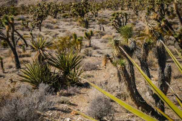
Carpenter Bypass
This trail is a short connector trail very similar to the other trails in the area, made up of a mix of dirt with loose rock and gravel washes. There are some bigger loose rocks in the middle of the trail to watch out for, and the trail is surrounded by Joshua Trees and Yucca. It's a slight decline ...
Learn more about Carpenter Bypass