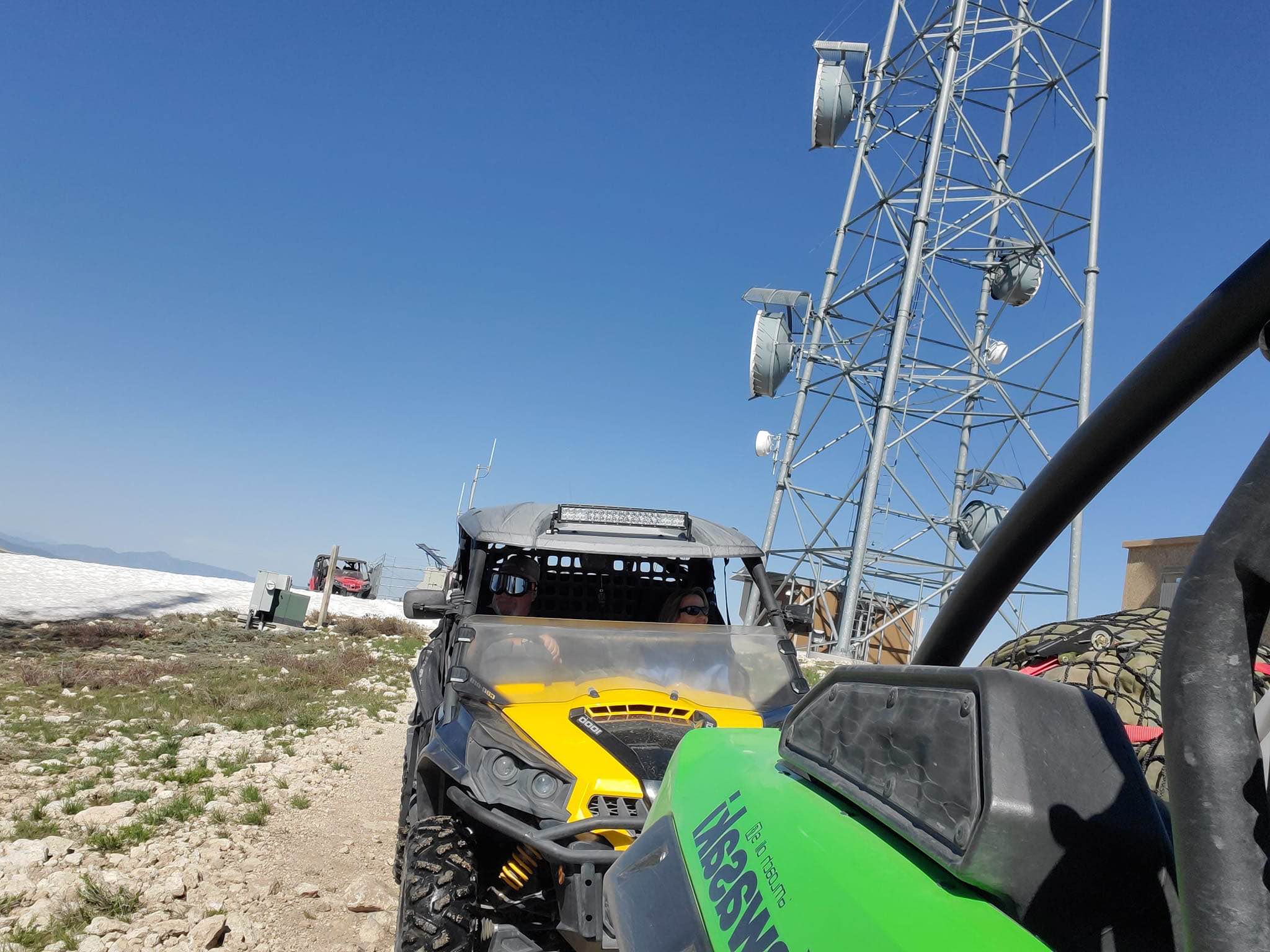
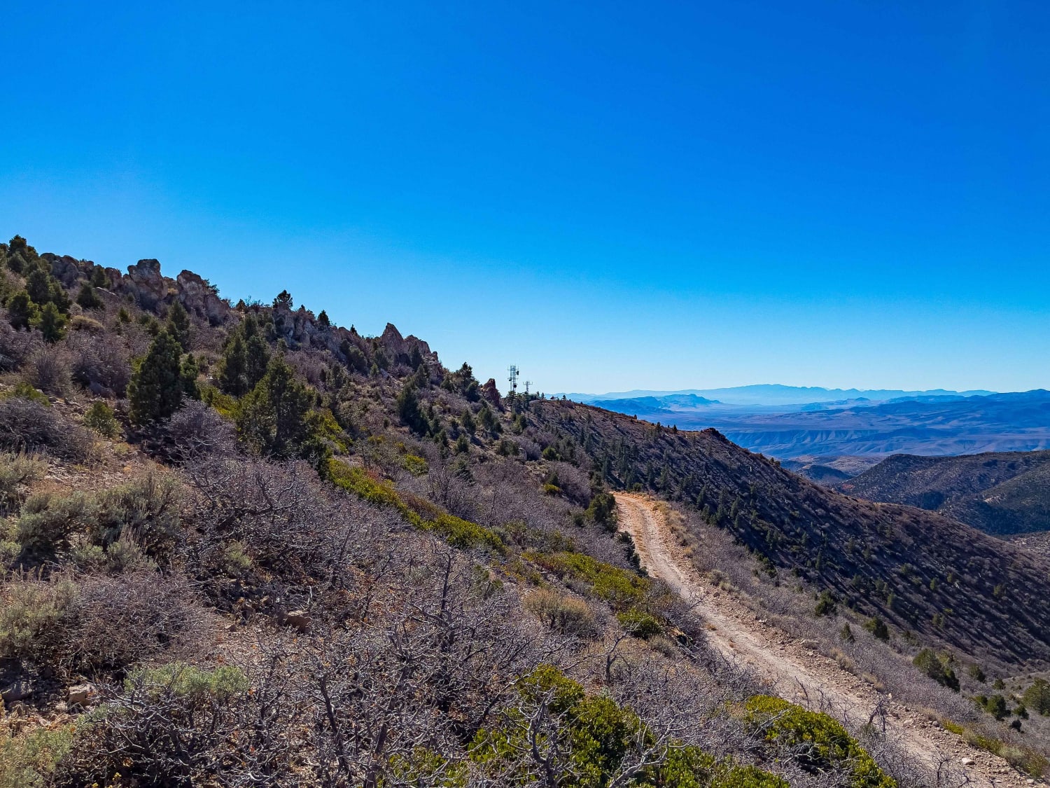
Mount Wilson Navigation Towers
Total Miles
26.1
Technical Rating
Best Time
Spring, Summer, Fall
Trail Type
Full-Width Road
Accessible By
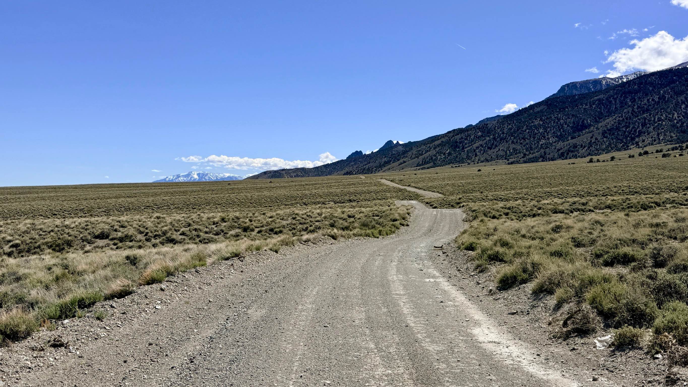
Trail Overview
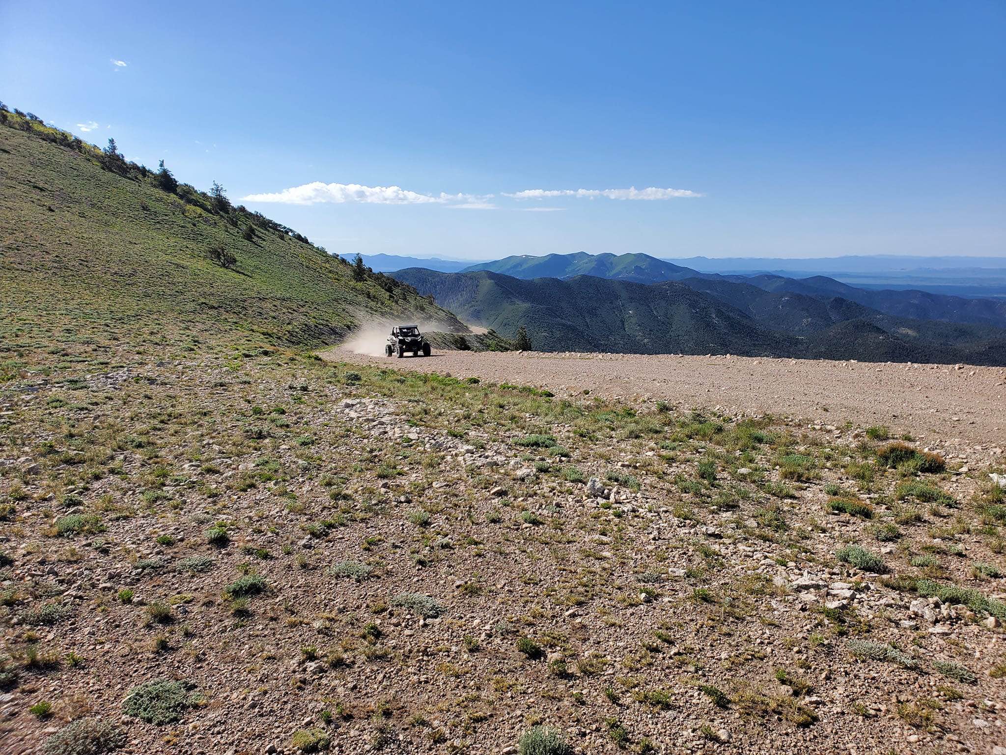
This 26.2-mile trail takes you to the Mount Wilson Navigation Towers on top of Mount Wilson. Mount Wilson is the highest point in the Wilson Creek Mountains in Lincoln County, Nevada. The trail is maintained by the county road department for the ranchers, military, and communication companies from US Route 93 to the top of Mount Wilson.
Photos of Mount Wilson Navigation Towers
Difficulty
This trail climbs through a series of switchbacks over the final four miles, gaining elevation from approximately 6,500 feet to 9,300 feet. The ascent is steady but manageable under normal conditions, and the rest of the trail is free from obstacles.
Status Reports
Mount Wilson Navigation Towers can be accessed by the following ride types:
- High-Clearance 4x4
- SUV
- SxS (60")
- ATV (50")
- Dirt Bike
Mount Wilson Navigation Towers Map
Popular Trails
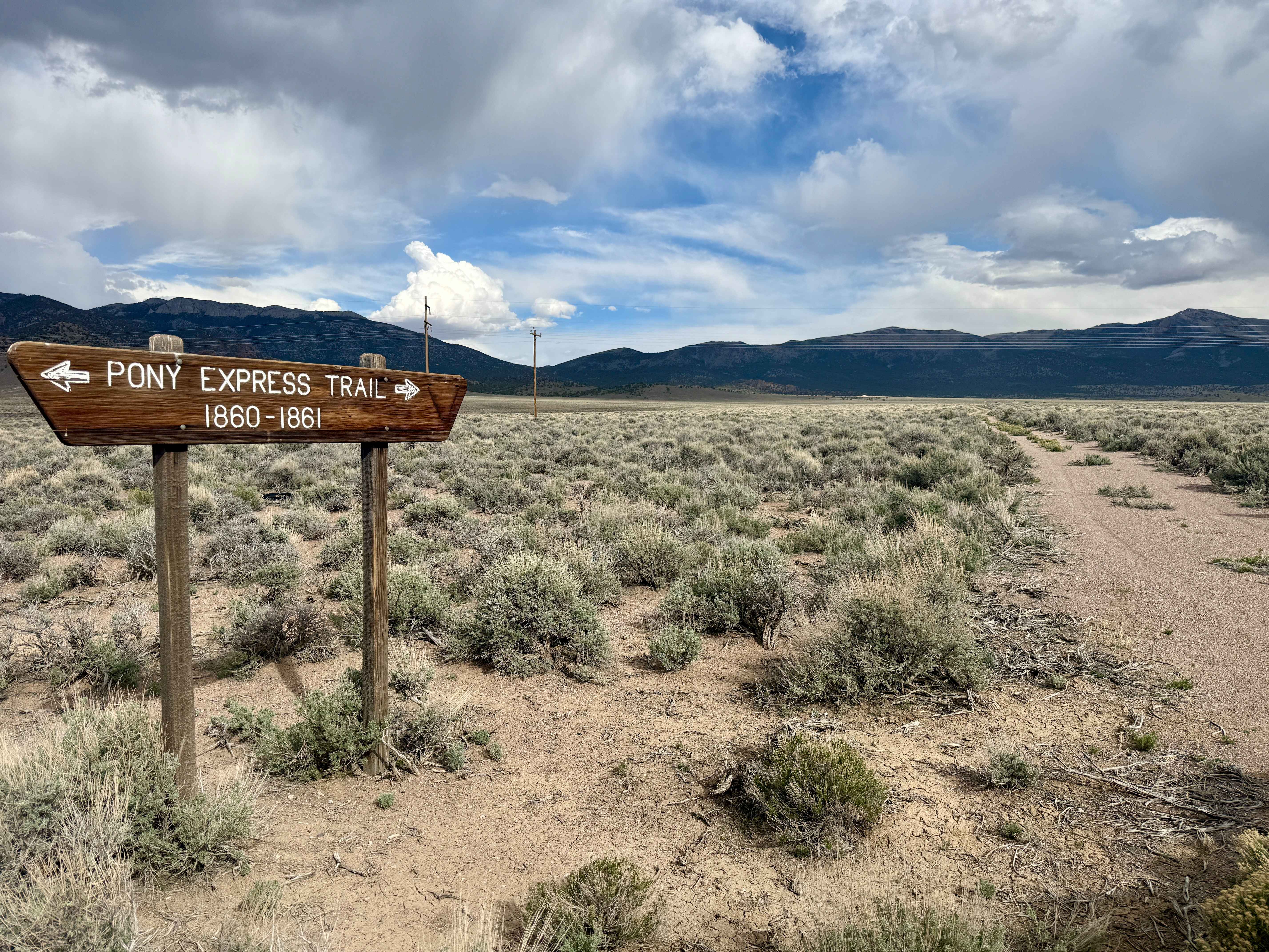
Pony Express Trail 1860 California Telegraph Route
Nelson Single Track
Ella Mtn. Fire Lookout
Broad Canyon Bypass FS43307A
The onX Offroad Difference
onX Offroad combines trail photos, descriptions, difficulty ratings, width restrictions, seasonality, and more in a user-friendly interface. Available on all devices, with offline access and full compatibility with CarPlay and Android Auto. Discover what you’re missing today!