Potosi Pass Road
Total Miles
12.7
Technical Rating
Best Time
Spring, Summer, Fall, Winter
Trail Type
Full-Width Road
Accessible By
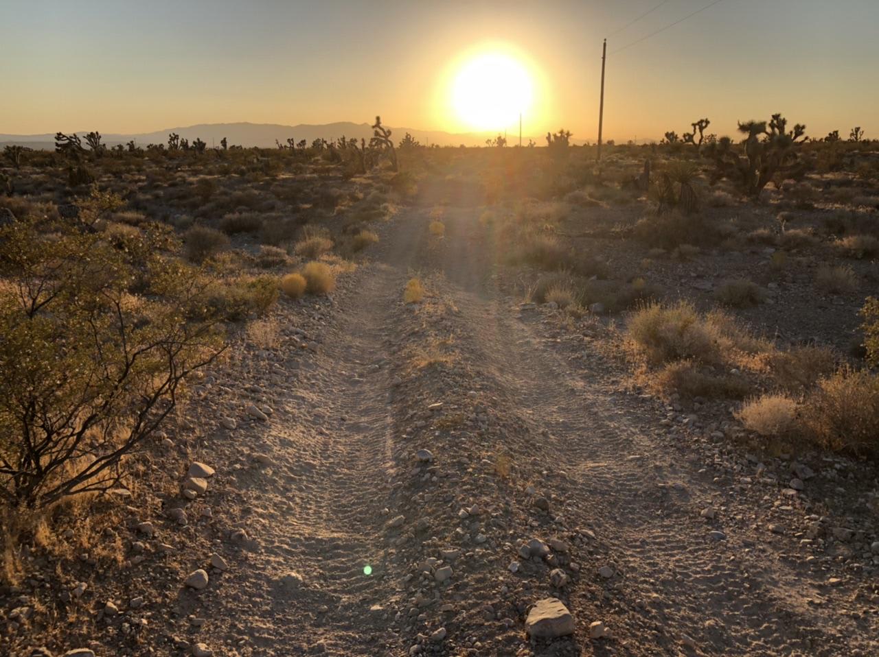
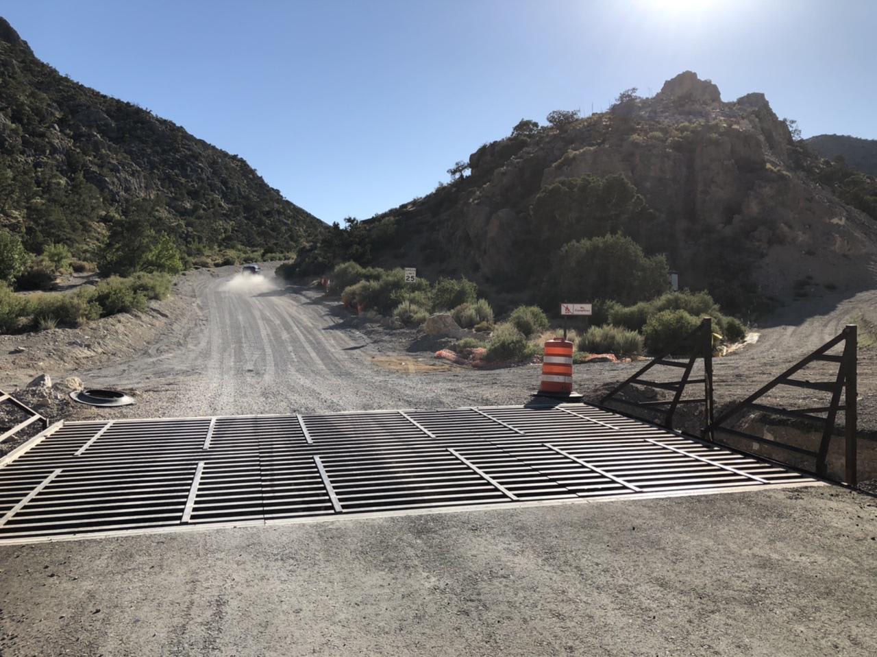
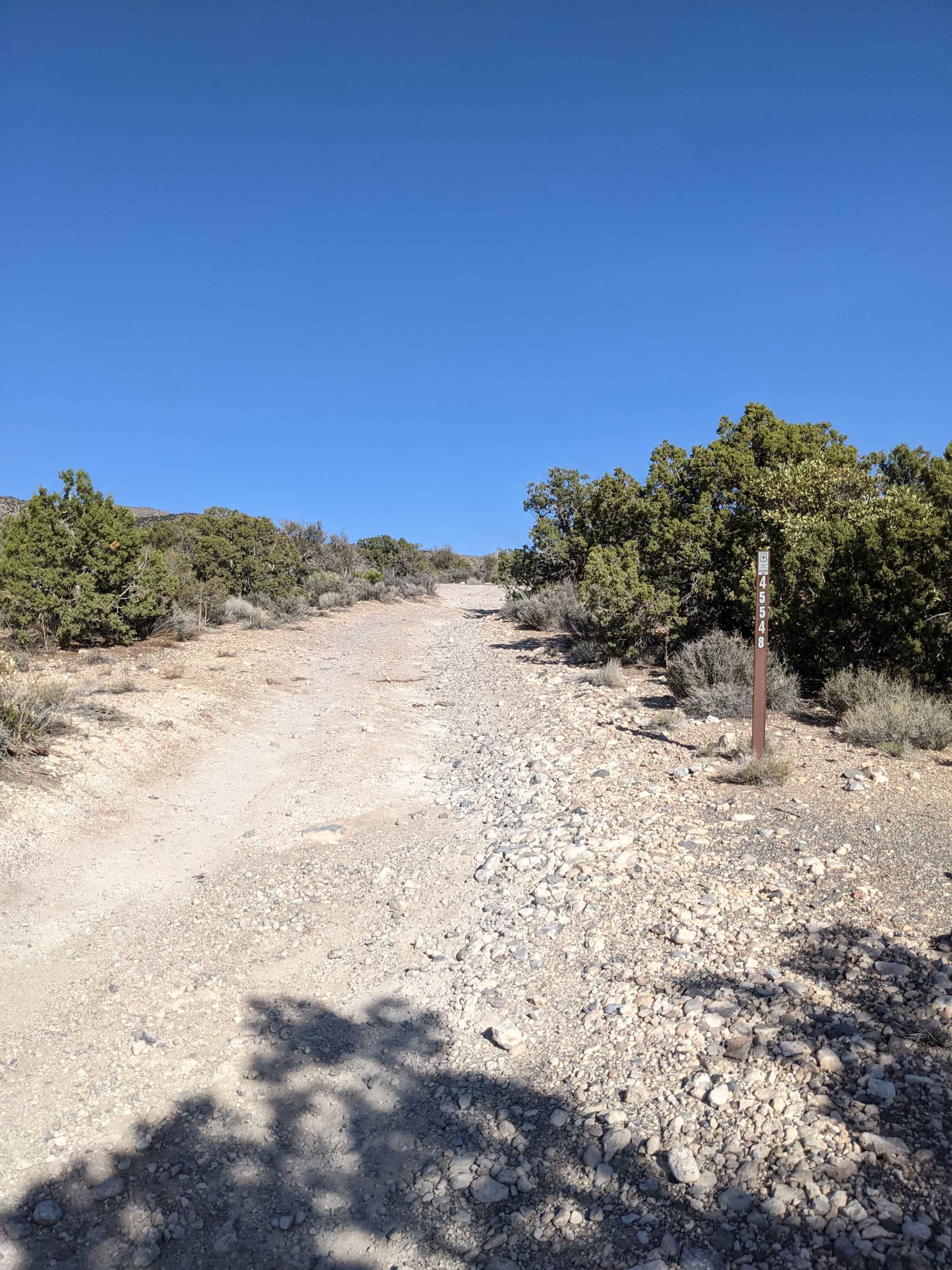
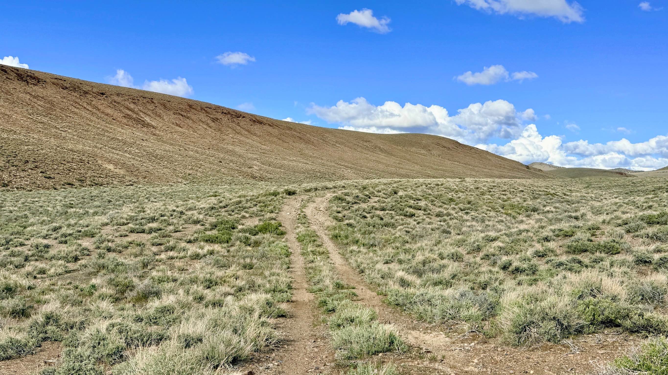
Trail Overview
The northeast section of Potosi Pass Road is a relatively easy ride through the Spring Mountains with only slight hills and mildly uneven, rocky terrain. Some of the land surrounding the road says "private property and no camping". The southeast section opens up into the flat desert where the road gets much more rocky, and washouts require a high-clearance vehicle. About halfway through, you can either turn south and head toward Goodsprings, or take Potosi Pass Road all the way to Pahrump Road which is so wide and flat, it will take you back to the freeway in minutes. Cell service is off and on.
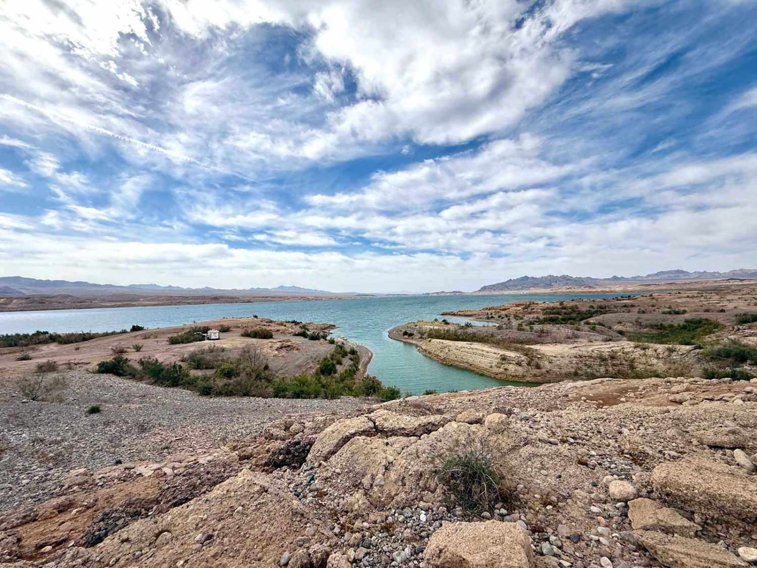
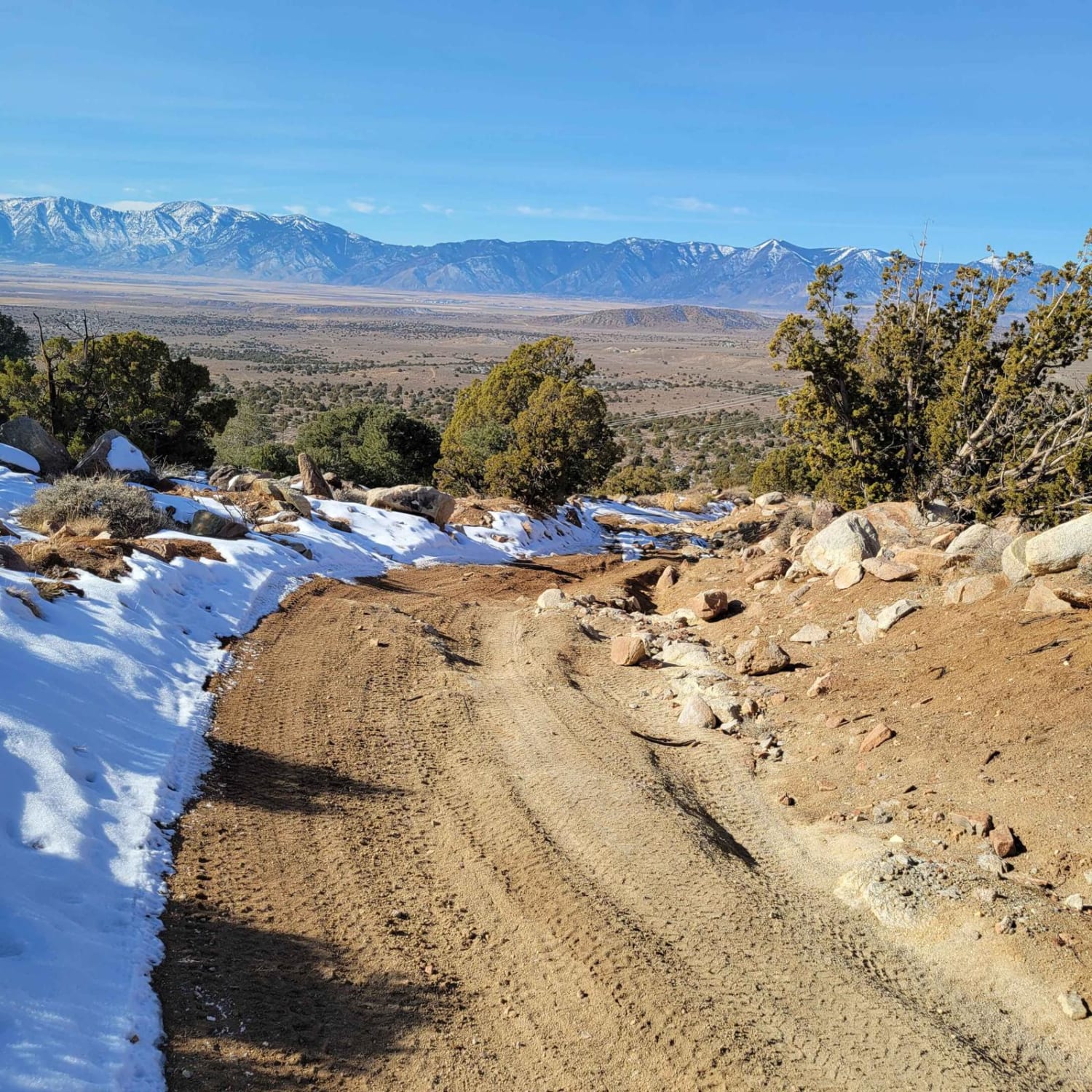
Photos of Potosi Pass Road
Difficulty
The northwest half is a pretty easy task for any capable truck or SUV, but the southeast half is a slow, long battle through rocky desert terrain with some high clearance zones.
History
The oldest mine in Nevada (Potosi Mine) has a marker along this road. The observatory is also popular with astronomers.
Status Reports
Potosi Pass Road can be accessed by the following ride types:
- High-Clearance 4x4
- SUV
- SxS (60")
- ATV (50")
- Dirt Bike
Potosi Pass Road Map
Popular Trails
Pahrump to Mountain Springs
South Spencer - FS 43287
Stewart's Point
Power Line Trail RSM
The onX Offroad Difference
onX Offroad combines trail photos, descriptions, difficulty ratings, width restrictions, seasonality, and more in a user-friendly interface. Available on all devices, with offline access and full compatibility with CarPlay and Android Auto. Discover what you’re missing today!