Power Line Trail RSM
Total Miles
7.0
Technical Rating
Best Time
Summer, Fall
Trail Type
High-Clearance 4x4 Trail
Accessible By
Trail Overview
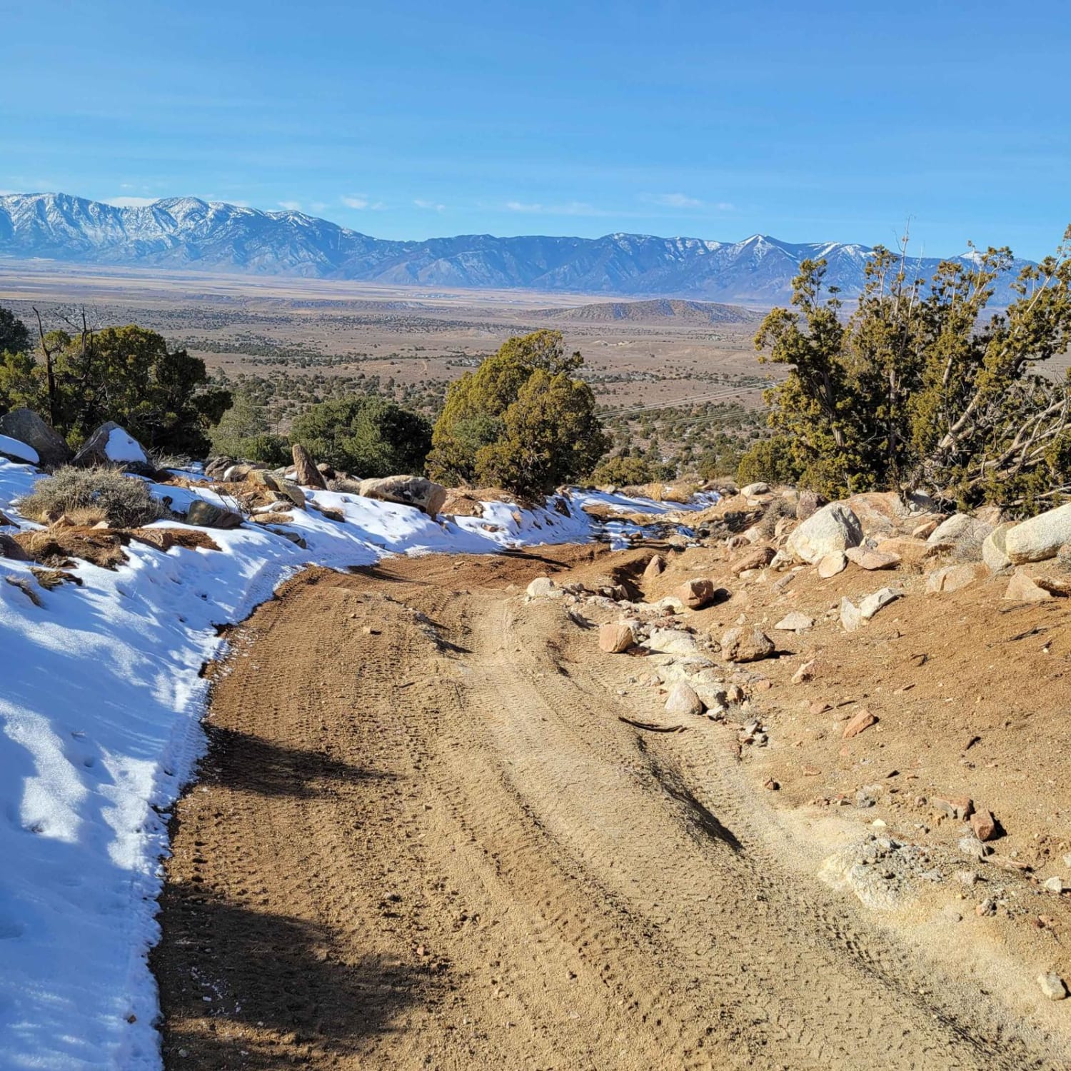
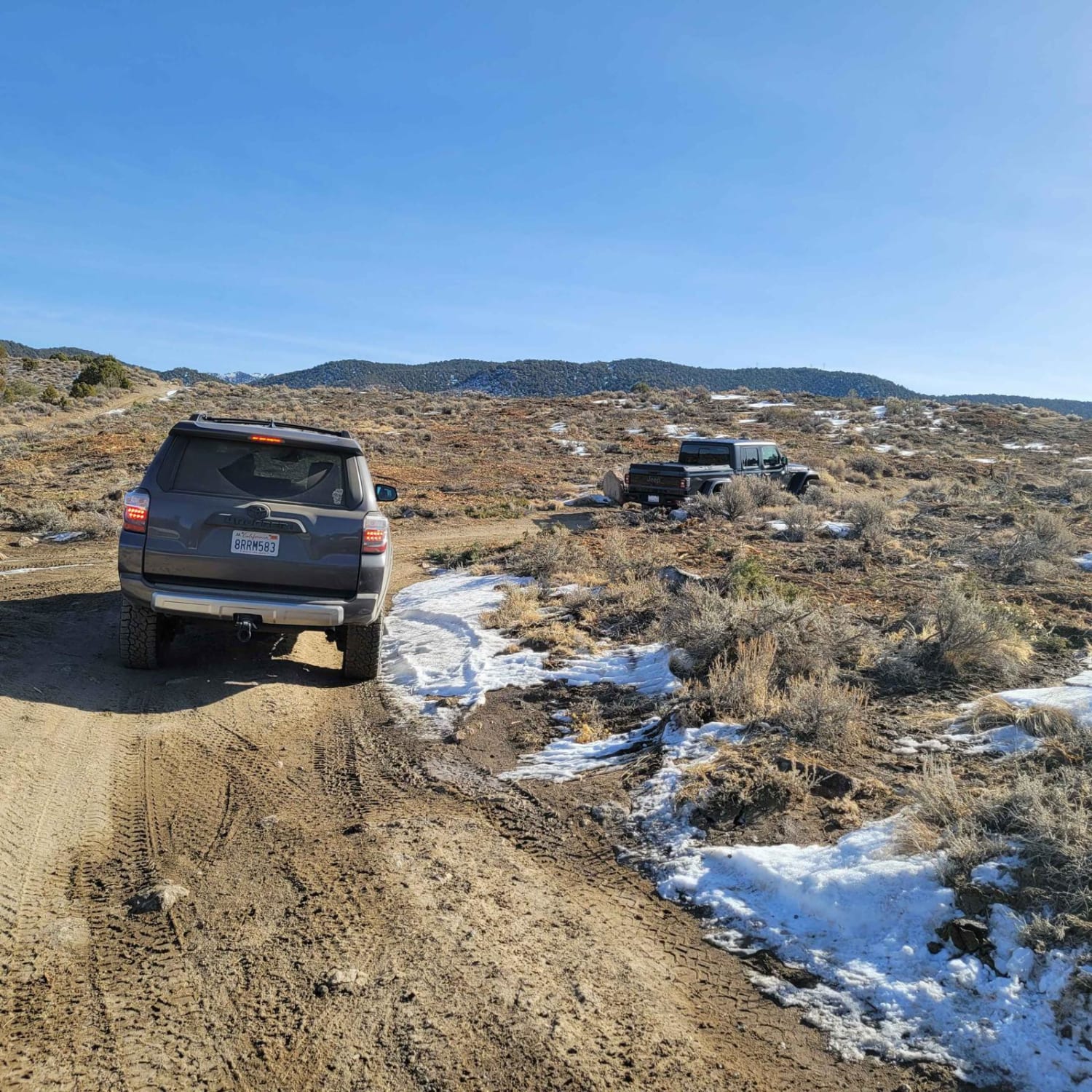
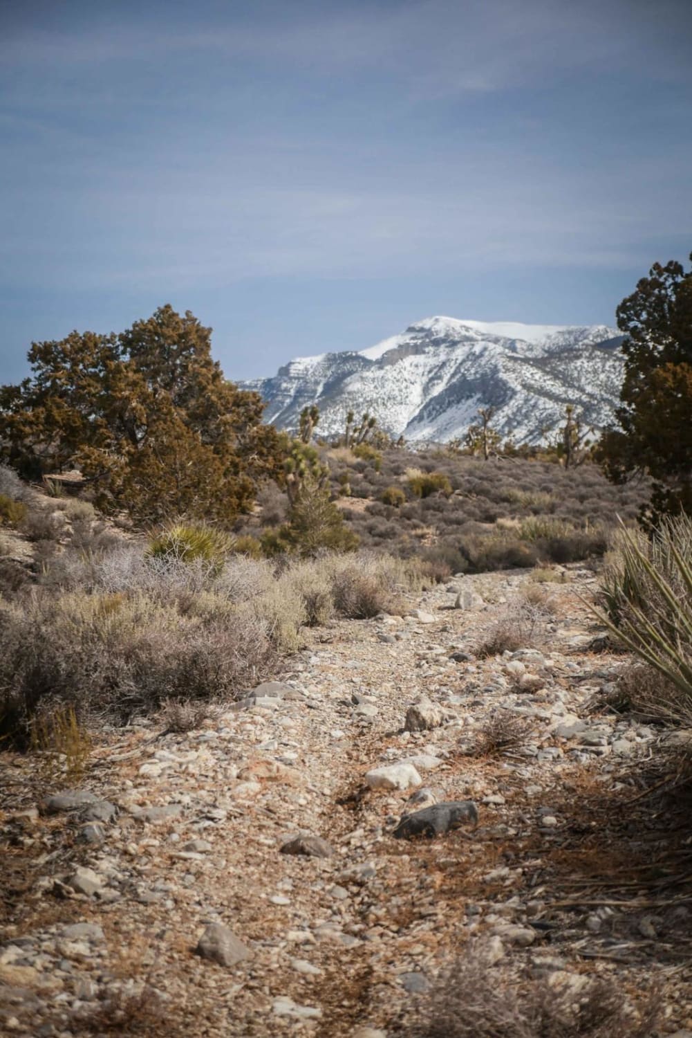
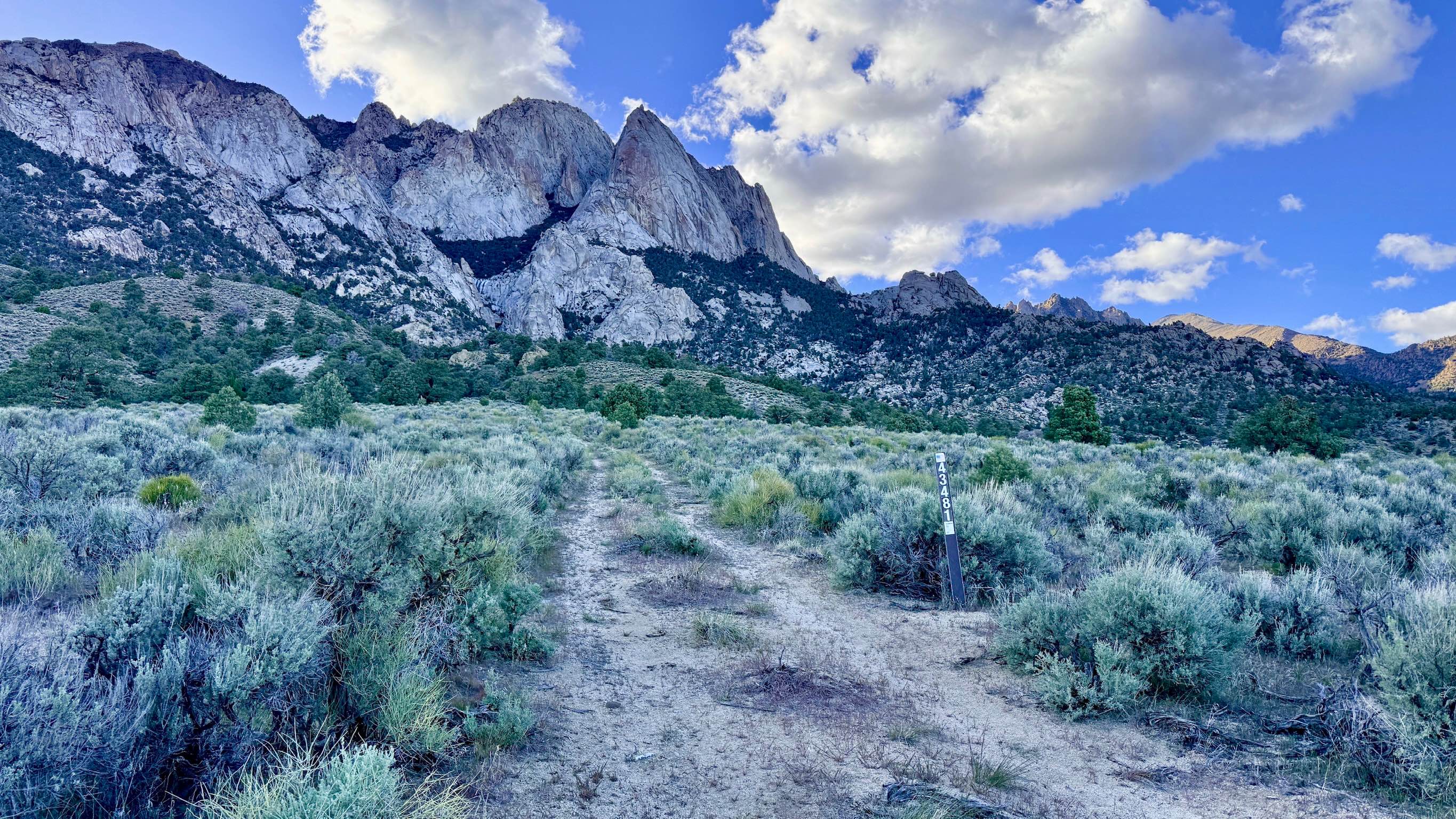
The trail is typically one vehicle wide with a few places to pass on this double-track dirt and clay trail. The clay in this area is treacherous when wet. This first 1.7-mile portion of the trail gently descends from an elevation of 5,815 feet to 5,700 feet. The trail then ascends to the trail's highest point of 6,921 feet, at about 4.5 miles. This climb is the steepest and most technical part of the trail. This steeper section of the trail has eroded ruts and loose 6" stones. It is a poorly maintained service road for the power lines. Descending, the trail winds between Pinyon Pine and Cedar trees. The trail is wide enough that the limbs don't scratch the vehicle. It has a neutral camber with great views. There were no stream crossings observed along this trail. This double-track trail is suited for off-highway and 4WD high-clearance vehicles. Not recommended for 2WD or 4WD cars.
Photos of Power Line Trail RSM
Difficulty
The trail is unmaintained after rain or snow. The road is double track single vehicle width. A few tall stones and obstacles under 6" can be easily avoided. 80% of the trail is easy but there are eroded rocky inclines, possible snow in November - March.
History
Pinyon Pines produce Pine Nuts. It is believed that Native Americans have harvested Pine Nuts from this forest (Pine Nut Mountains) for centuries. Pinon or Pinyon Pine trees are slow growing and can live to be 600 years old, so Thread Lightly. It is possible that some of these trees germinated in the 1600s.
Status Reports
Power Line Trail RSM can be accessed by the following ride types:
- High-Clearance 4x4
- SxS (60")
- ATV (50")
- Dirt Bike
Power Line Trail RSM Map
Popular Trails

Kamma Mountains
Middle Elk Meadow Part 1
McLeod Bypass - FS 43481
The onX Offroad Difference
onX Offroad combines trail photos, descriptions, difficulty ratings, width restrictions, seasonality, and more in a user-friendly interface. Available on all devices, with offline access and full compatibility with CarPlay and Android Auto. Discover what you’re missing today!