Pine Grove Connector ATV
Total Miles
0.7
Technical Rating
Best Time
Fall, Summer, Spring
Trail Type
Single Track
Accessible By
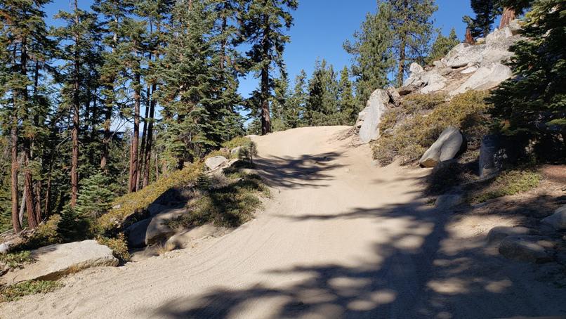
Trail Overview
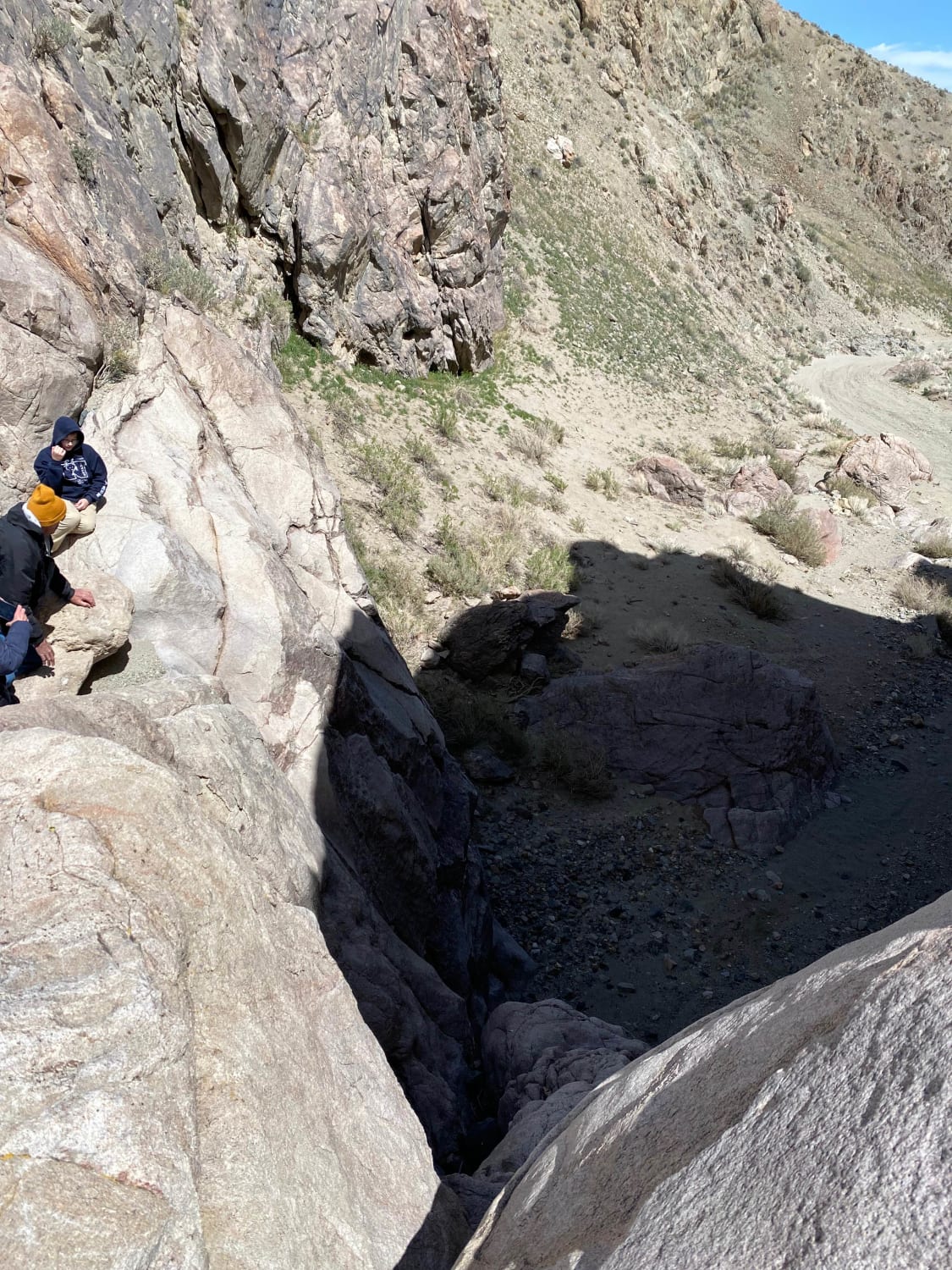
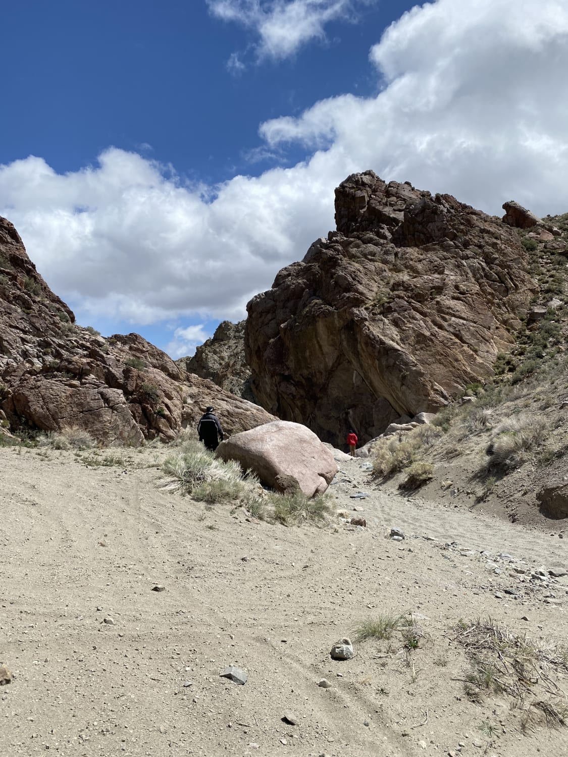
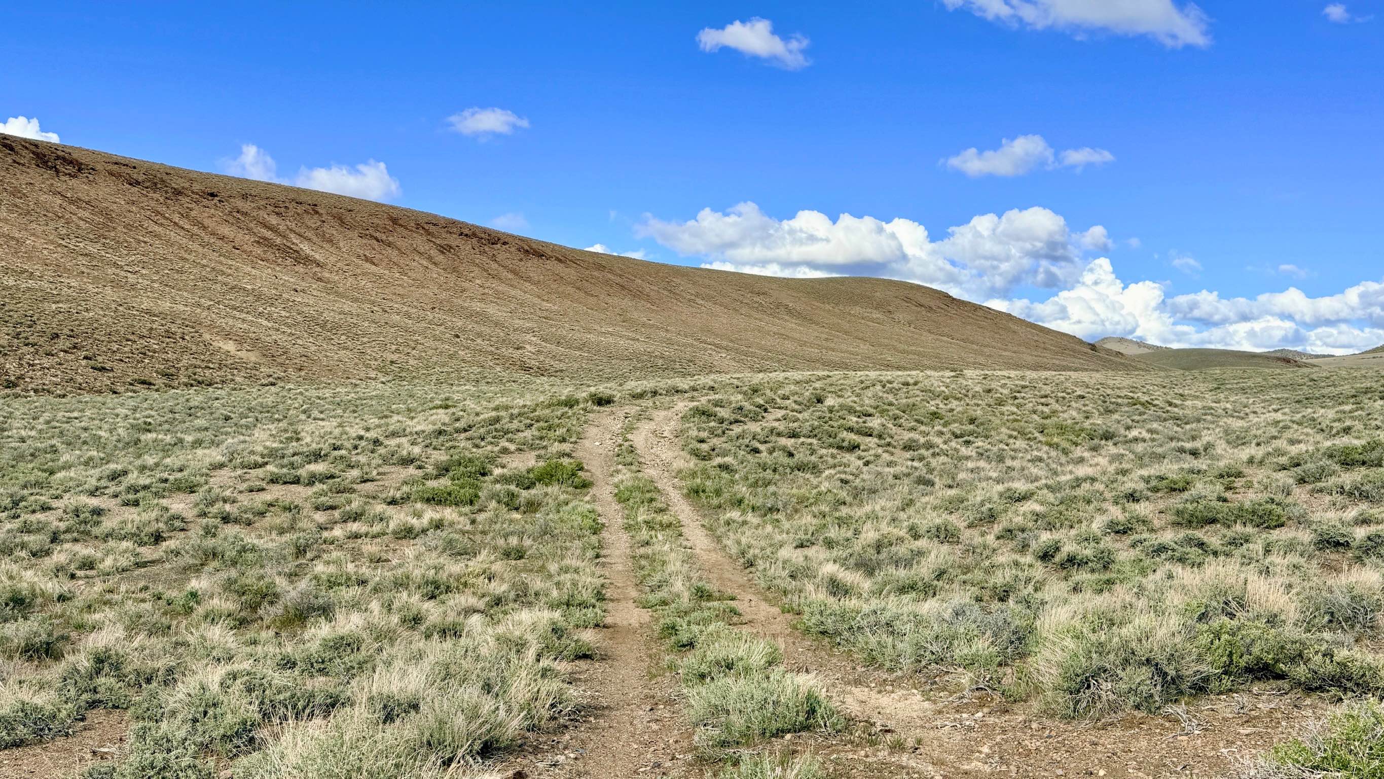
From Drainage End Trail, this road is impassable by all vehicles. The road is a flat sandy wash that ends at a 50' rock wall. We saw some side trails that lead up and around the obstacle. I would rate those as Advanced, with loose sand and steep climbs. The other side of the obstacle is a 4 Intemperate with flat sandy washes.
Photos of Pine Grove Connector ATV
Difficulty
From Drainage End Trl. this road is impassable by all vehicles. Road is a flat sandy wash that ends at a 50' rock wall. We saw some side trails that lead up and around the obstacle. I would rate those as Advanced with loose sand and steep climbs. The other side of the obstacle is a 4 Intemperate with flat sandy washes.
Pine Grove Connector ATV can be accessed by the following ride types:
- Dirt Bike
Pine Grove Connector ATV Map
Popular Trails
South Spencer - FS 43287
Apex Mine Alternate FS43238
Lil Short One
Genoa Peak Road - 41306
The onX Offroad Difference
onX Offroad combines trail photos, descriptions, difficulty ratings, width restrictions, seasonality, and more in a user-friendly interface. Available on all devices, with offline access and full compatibility with CarPlay and Android Auto. Discover what you’re missing today!