Apex Mine Alternate FS43238
Total Miles
3.1
Technical Rating
Best Time
Spring, Summer, Fall
Trail Type
Full-Width Road
Accessible By
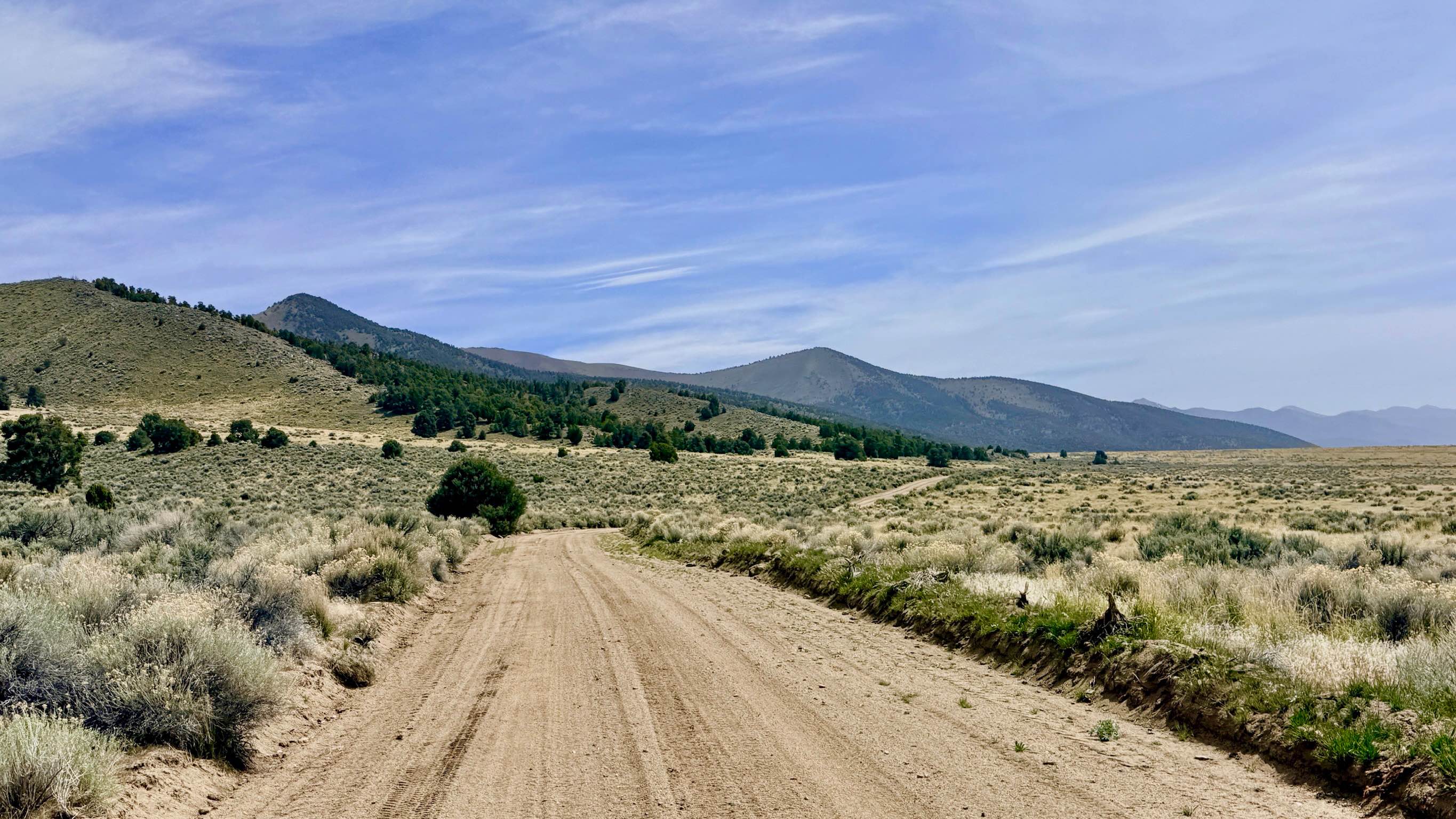
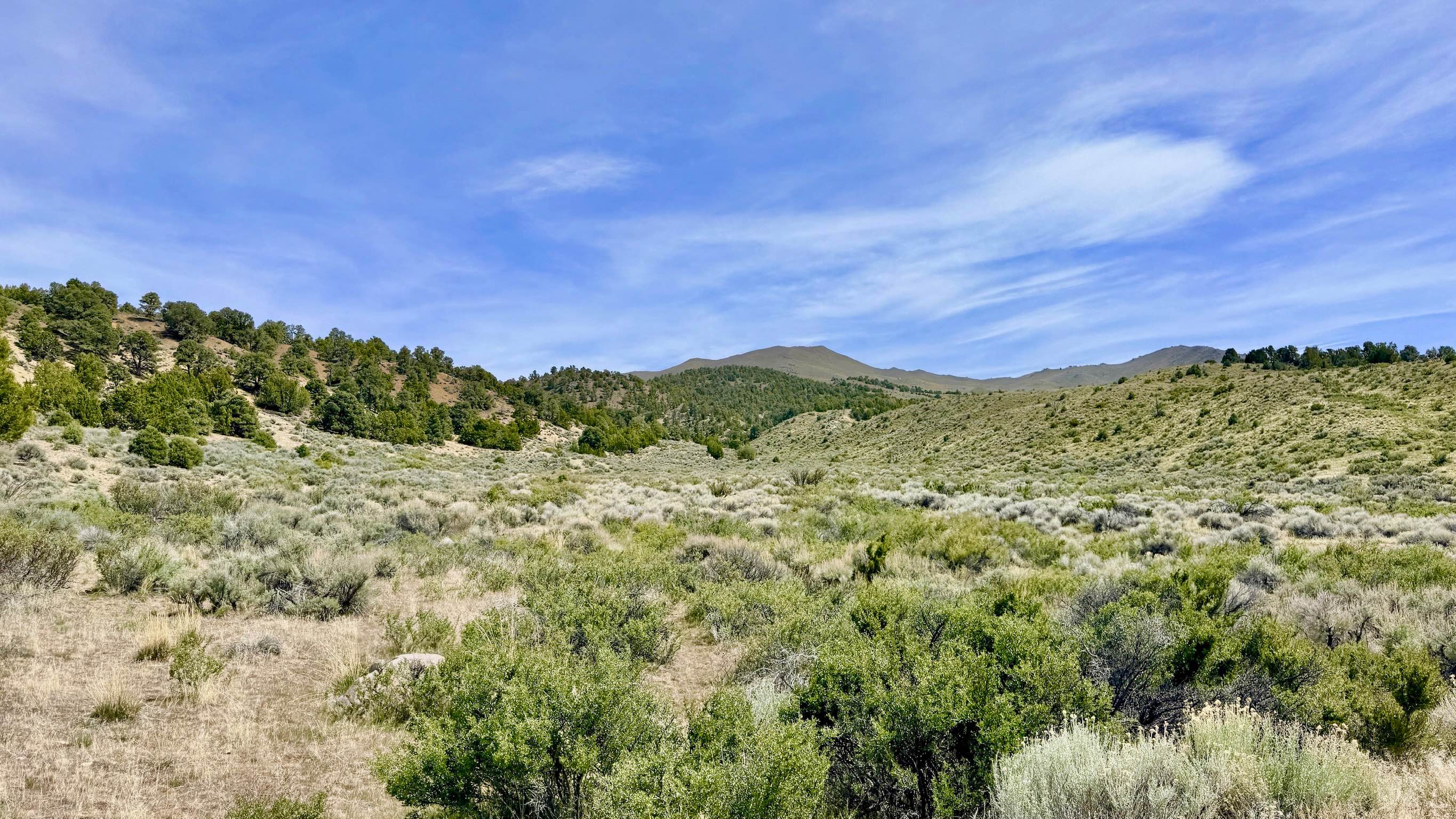
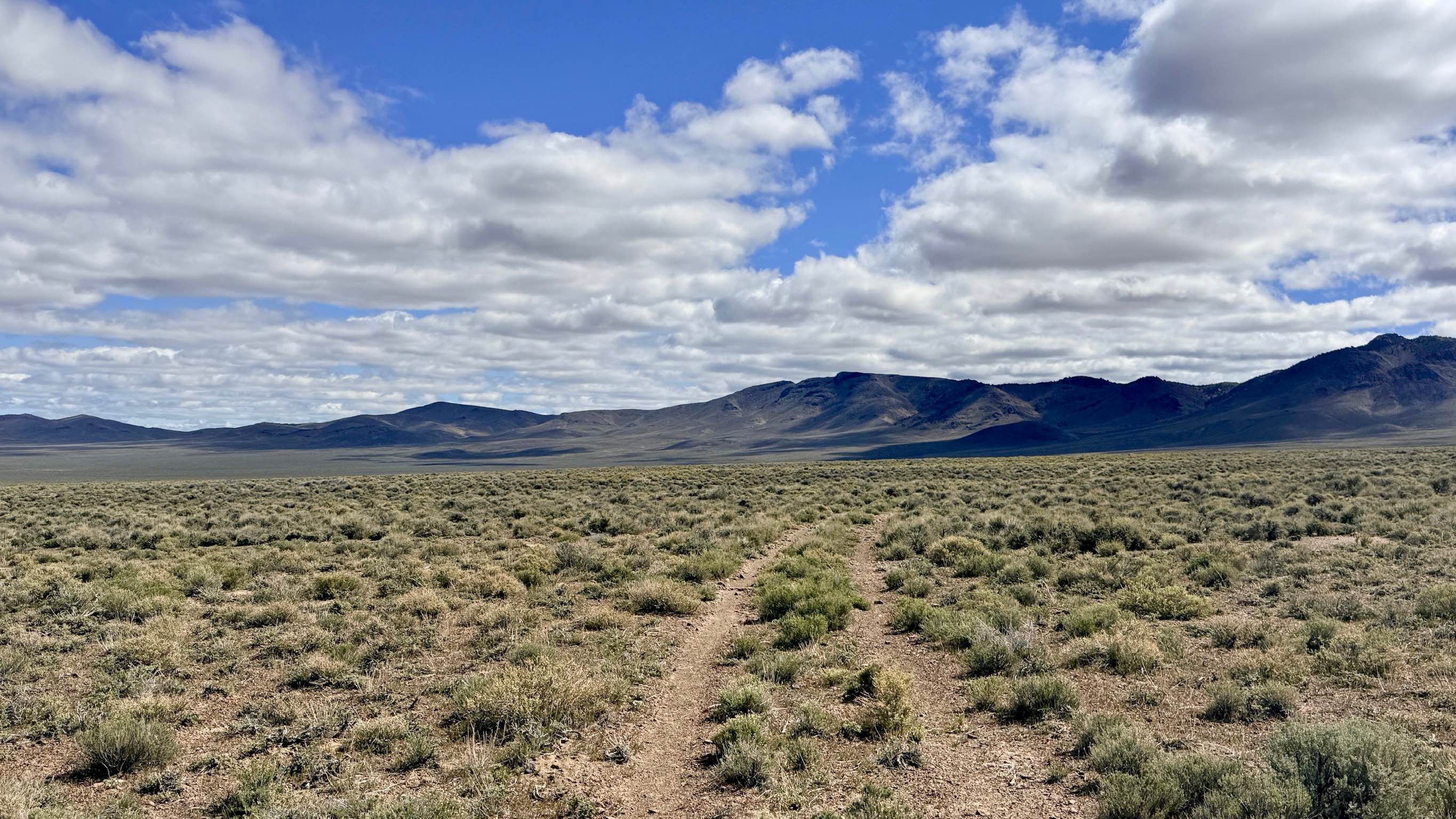
Trail Overview
This is a fantastic, "as easy as it gets" trail that serves as a perfect introduction to the rugged terrain surrounding Austin. The route begins at the edge of the local fairgrounds on a wide, inviting two-track before transitioning into an engaging single-track path that hugs the base of the mountains. This trail is a visual treat, offering a constant contrast between the towering, rocky peaks of the Toiyabe Range to the west and the seemingly endless, sun-drenched expanse of the Reese River Valley to the east. The track is well-maintained and follows a "twisty-fun" flow that keeps the driving spirited without being overly technical. As you wind along the foothills, the trail leads you toward the lower works of the historic Apex Mine. For those interested in a bit of "industrial archaeology," a short spur trail branches off into the hills, allowing you to get a closer look at the massive tailings piles that mark the site of this former silver operation. This is a great choice for a quick afternoon loop or as a scenic alternative for moving north from the outskirts of town. Like much of the Nevada backcountry, the dirt here can become incredibly sloppy and "greasy" when wet. This trail has no winter maintenance and should be avoided during heavy rain or snowmelt. Despite its proximity to town, this trail sits in a "dead zone" with no cell service. The surrounding hills effectively block the signal from Austin. Download offline maps before leaving the pavement.
Photos of Apex Mine Alternate FS43238
Difficulty
Suitable for most high-clearance SUVs and 4x4s. The trail is generally smooth. However, there is one specific canyon crossing featuring a steep drop-in and a sharp climb-out. While most 4x4s will breeze through, a 4x2 vehicle might struggle for traction at this spot.
History
The Apex Mine was part of the later waves of development in the Reese River Mining District. While the initial 1862 boom focused on the high-grade veins in Pony Canyon, the Apex represents the persistent effort of miners to find the "mother lode" further along the mountain's edge. This area has also served as the community's backyard for generations; the nearby fairgrounds are a testament to the long-standing ranching and social traditions that have sustained Austin long after the silver boom faded.
Status Reports
Apex Mine Alternate FS43238 can be accessed by the following ride types:
- High-Clearance 4x4
- SUV
- SxS (60")
- ATV (50")
- Dirt Bike
Apex Mine Alternate FS43238 Map
Popular Trails

Petro Ranch Road

The Easy Way Around Rock Creek
Spencer Spur A FS43283A
West End Washington North
The onX Offroad Difference
onX Offroad combines trail photos, descriptions, difficulty ratings, width restrictions, seasonality, and more in a user-friendly interface. Available on all devices, with offline access and full compatibility with CarPlay and Android Auto. Discover what you’re missing today!