Pahrump to Mountain Springs
Total Miles
31.2
Technical Rating
Best Time
Spring, Summer, Fall
Trail Type
Full-Width Road
Accessible By
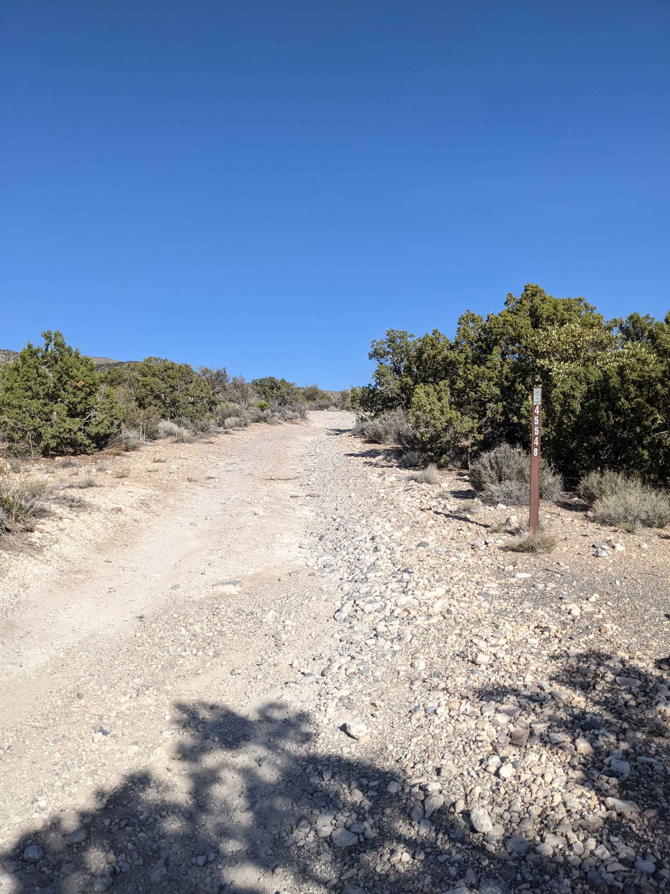
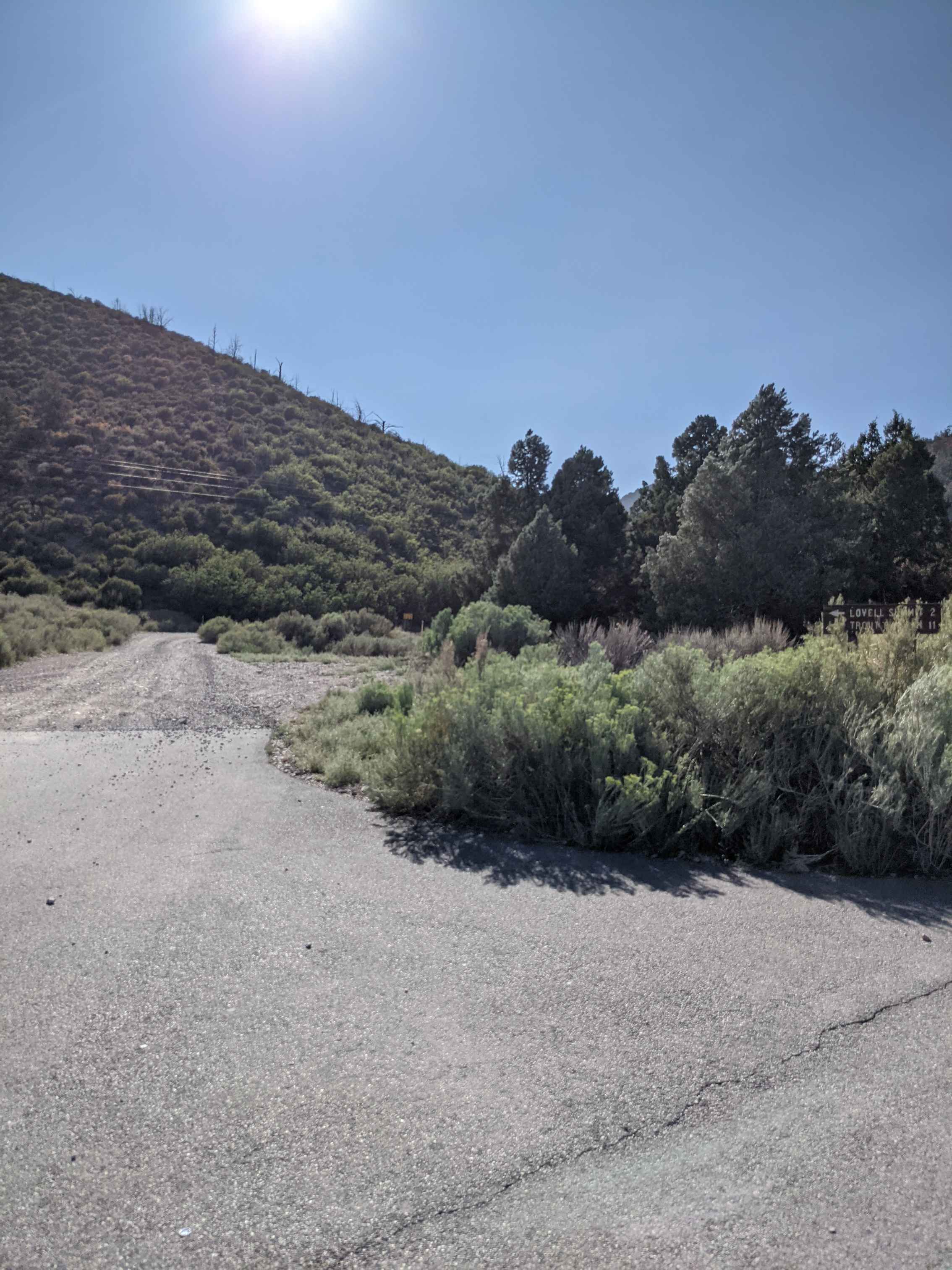
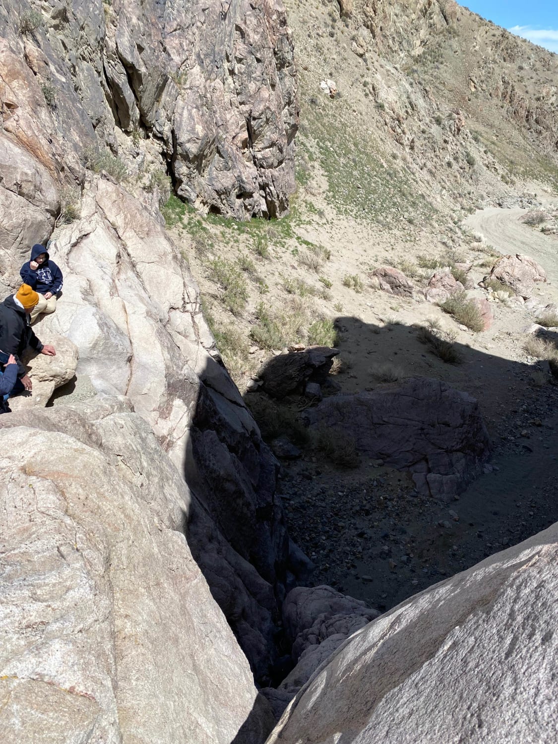
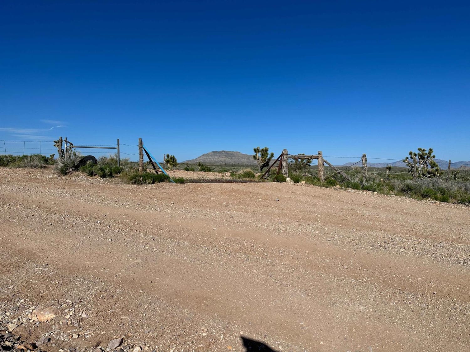
Trail Overview
Mountain Springs is located between Pahrump and Las Vegas and is accessible from Pahrump by trail. The trail runs Southeast and Southwest through the Toiyabe National Forest and is an easy off-road drive through beautiful terrain. On this drive, You will step outside the typical desert landscape and visit a treed wonderland with wild horses, elk, and mountain goats. The trail is easy and not technical, though many trails intersect with this route. The path is primarily gravel, hard-packed, rocky, with some dirt. We remained in 2WD for the length of the trail, though a few spots were slippery. Several sites on these trails offer tent camping, hiking, and other outdoor activities. The trail runs adjacent to a few private properties in the mountains; please be respectful of your speed. The trail is primarily one vehicle wide and non-directional and has many blind corners. The trail can be run from Mountain Springs to Pahrump or from Pahrump to Mountain Springs. If you are using a UTV, you could easily go out and back in 2 hours with limited stops; a ride in a Jeep went one way in 2 hours. Cell phone service is good until you are deep in the mountains and picks back up just outside Mountain Springs. Be sure to download your maps for offline use before heading out.
Photos of Pahrump to Mountain Springs
Difficulty
The trail is primarily easy gravel/hard-packed dirt roads with minor obstacles that most vehicles can traverse without issue. We did not put the Rubicon in 4wd or disconnect the sway bay. You will encounter steep inclines/declines depending on the direction you decide to take. In adverse weather, I would steer clear; there were several dry water channels where flash flood waters run downhill.
Status Reports
Pahrump to Mountain Springs can be accessed by the following ride types:
- High-Clearance 4x4
- SUV
- SxS (60")
- ATV (50")
- Dirt Bike
Pahrump to Mountain Springs Map
Popular Trails

Stevens's Camp Back Door
Pine Grove Connector ATV
Lime Mountain Road

Pine Nuts P-16 Trail
The onX Offroad Difference
onX Offroad combines trail photos, descriptions, difficulty ratings, width restrictions, seasonality, and more in a user-friendly interface. Available on all devices, with offline access and full compatibility with CarPlay and Android Auto. Discover what you’re missing today!