Penoyer Spring Road
Total Miles
20.9
Technical Rating
Best Time
Spring, Summer, Fall
Trail Type
Full-Width Road
Accessible By
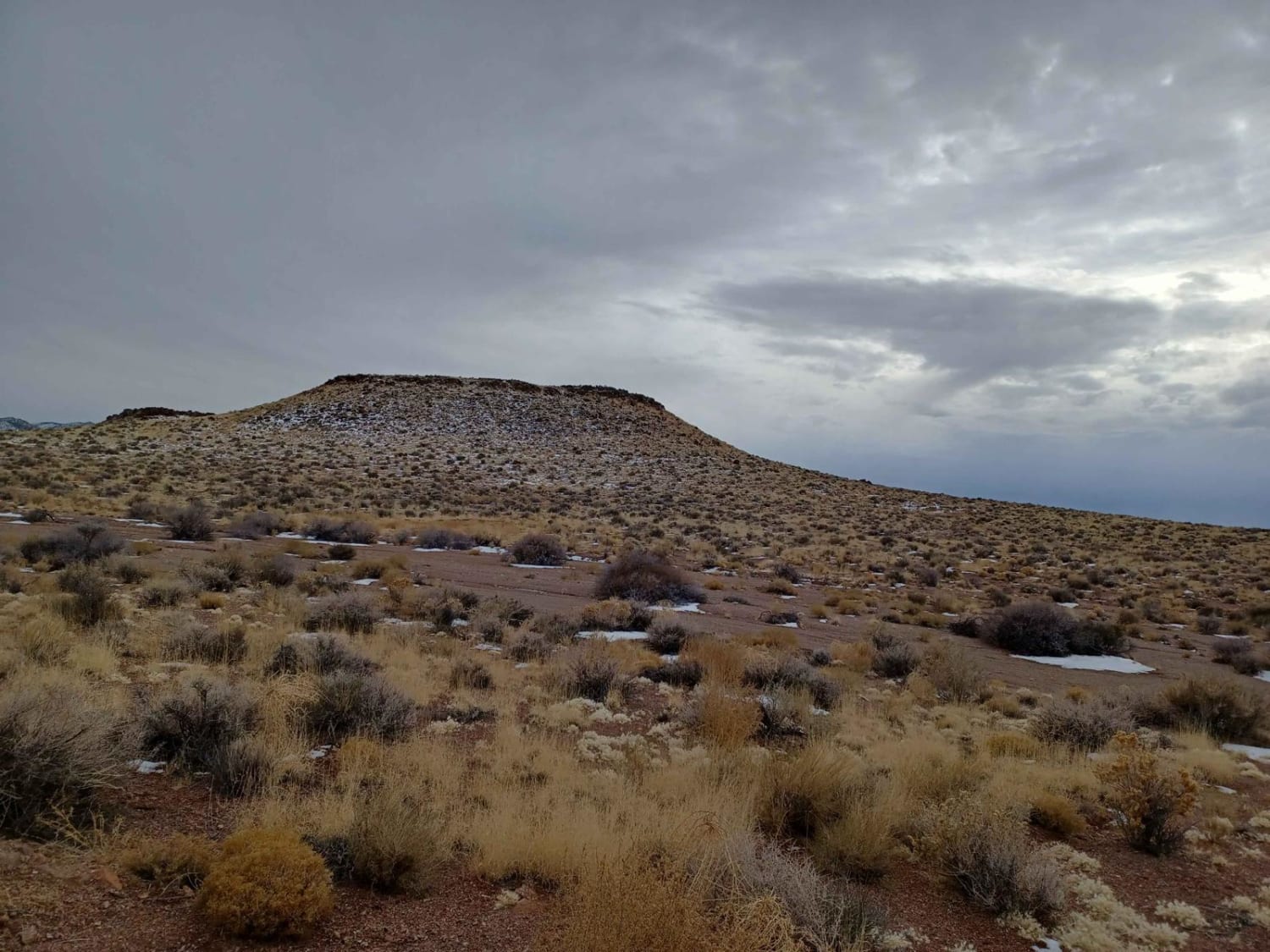
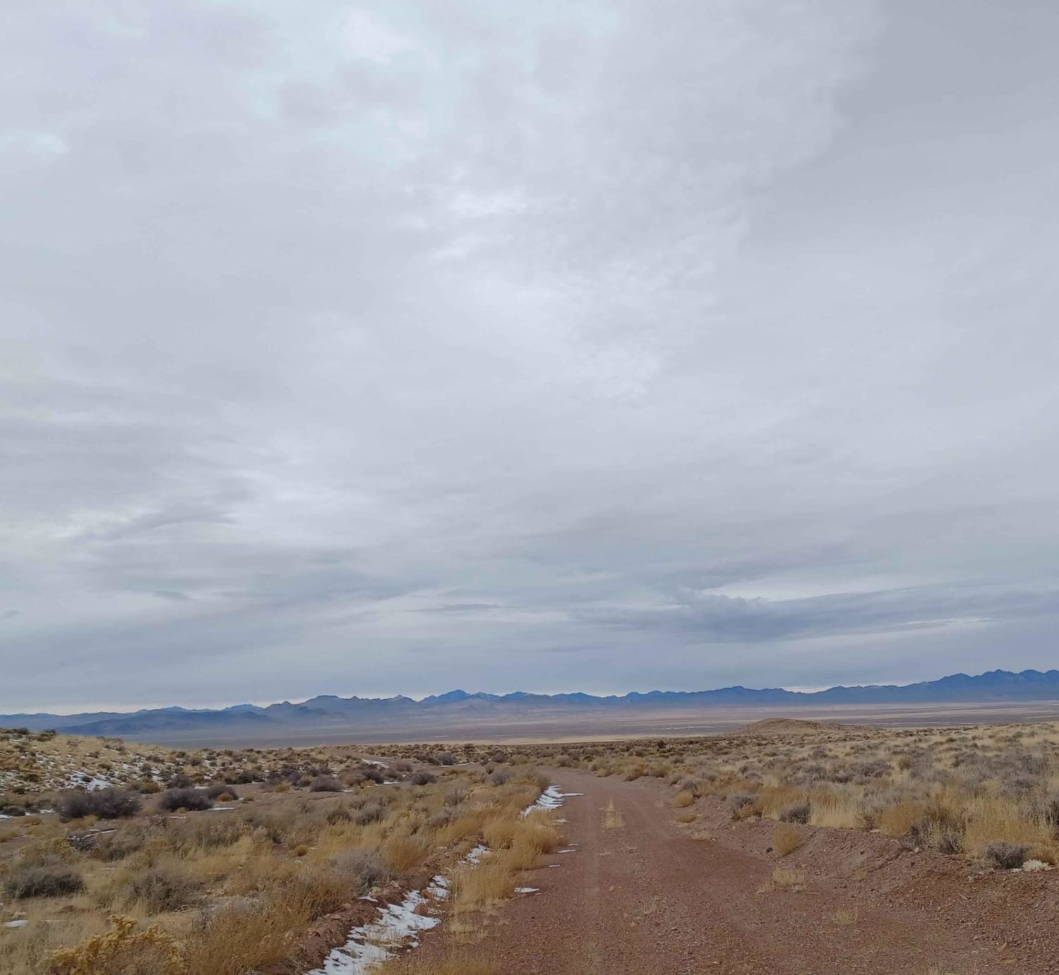
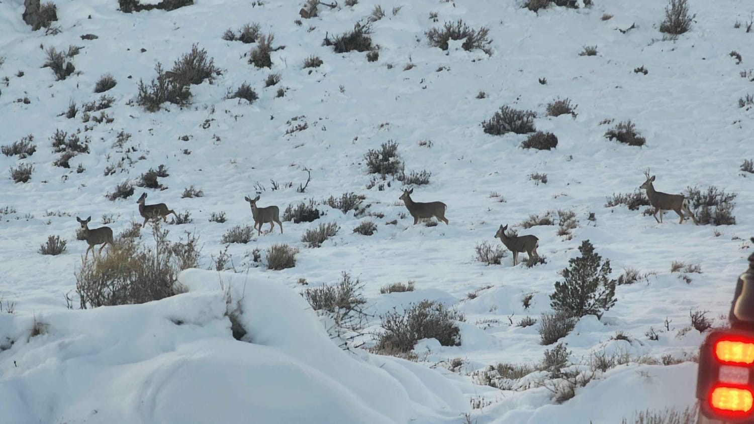
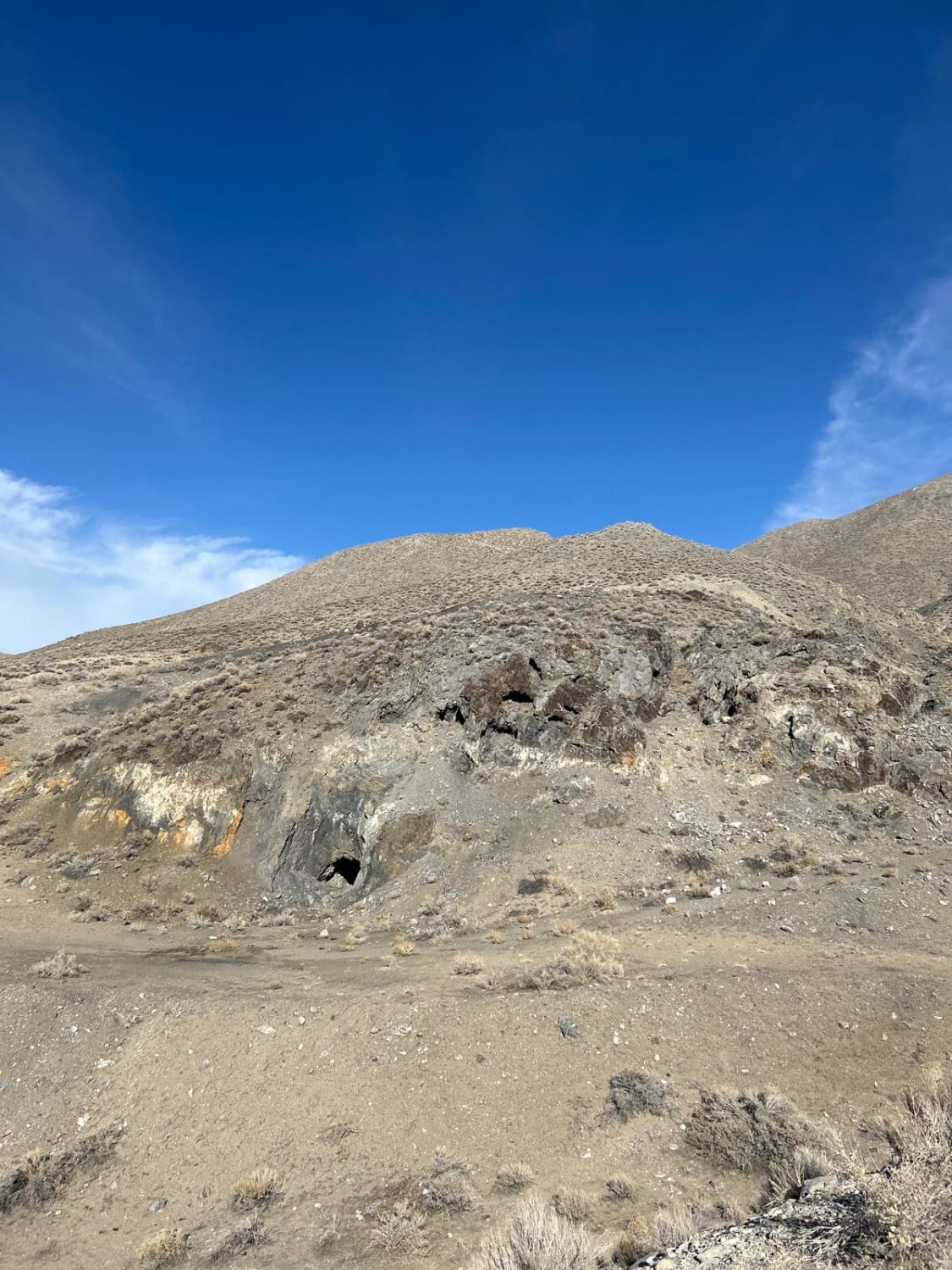
Trail Overview
Penoyer Spring Road runs through the Bureau of Land Management Government Lands and is an easy gravel road mixed with a little dirt and sand in sections. As you drive along this road, you'll enjoy the beautiful views of desert valleys and far-in-the-distance mountains. There isn't much for camping on this road and little to no cellphone service.
Photos of Penoyer Spring Road
Difficulty
This trail is muddy when wet.
Status Reports
Penoyer Spring Road can be accessed by the following ride types:
- High-Clearance 4x4
- SUV
- SxS (60")
- ATV (50")
- Dirt Bike
Penoyer Spring Road Map
Popular Trails
NV-UT State Line Road 020
Seven Deer Trail
Apache Mercury Claims
The onX Offroad Difference
onX Offroad combines trail photos, descriptions, difficulty ratings, width restrictions, seasonality, and more in a user-friendly interface. Available on all devices, with offline access and full compatibility with CarPlay and Android Auto. Discover what you’re missing today!