Trail Overview
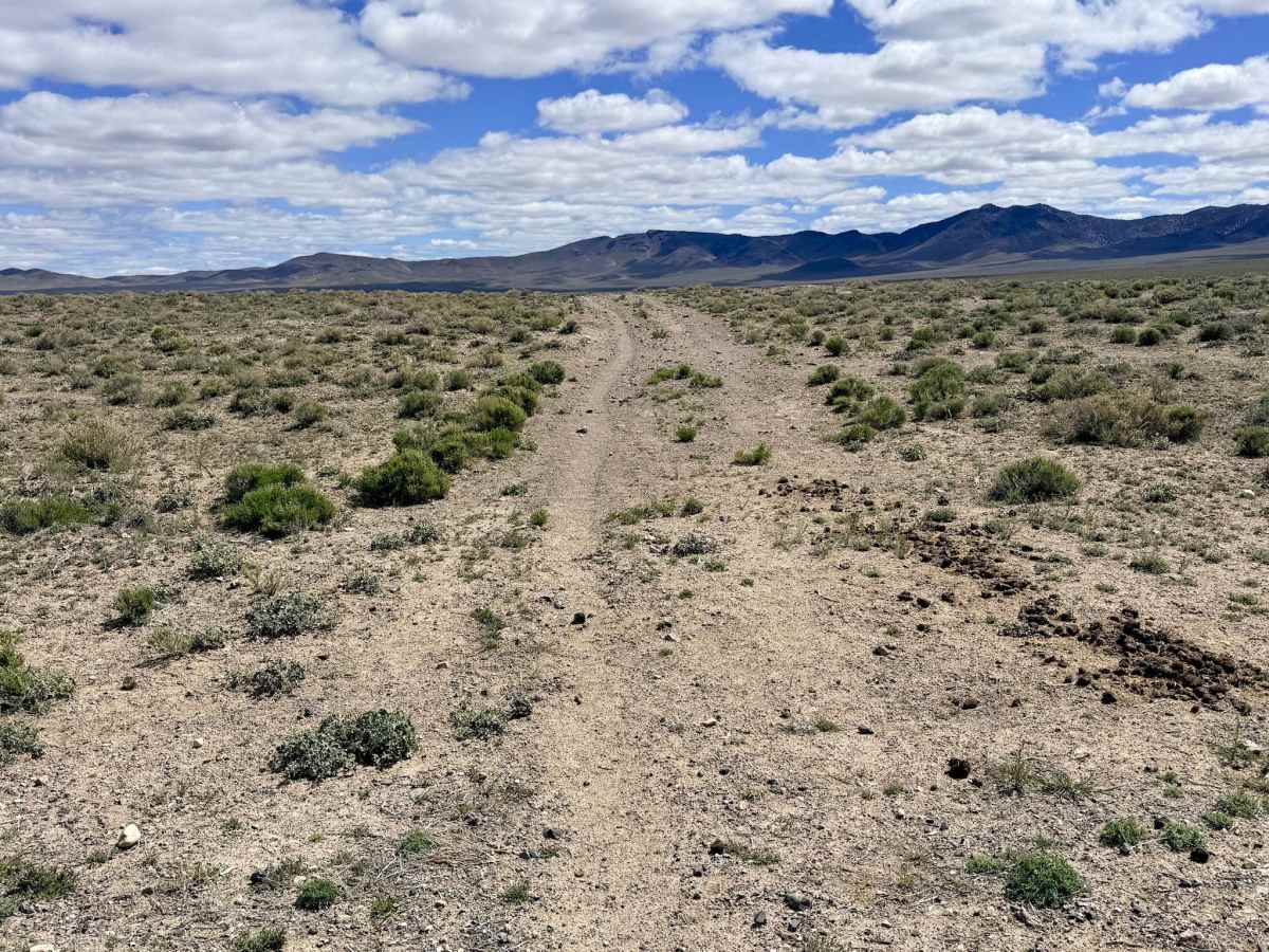
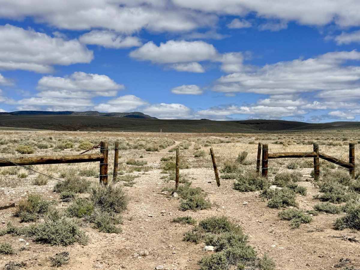
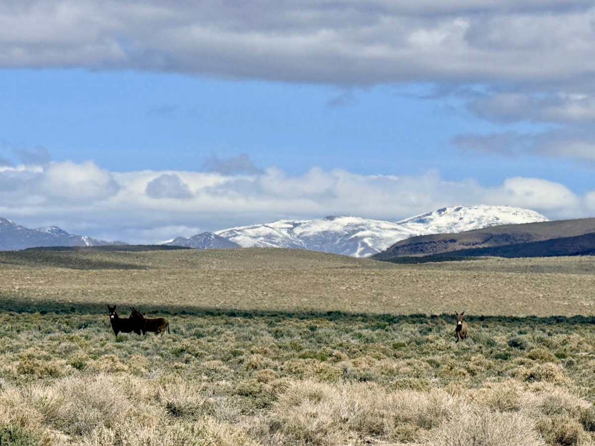
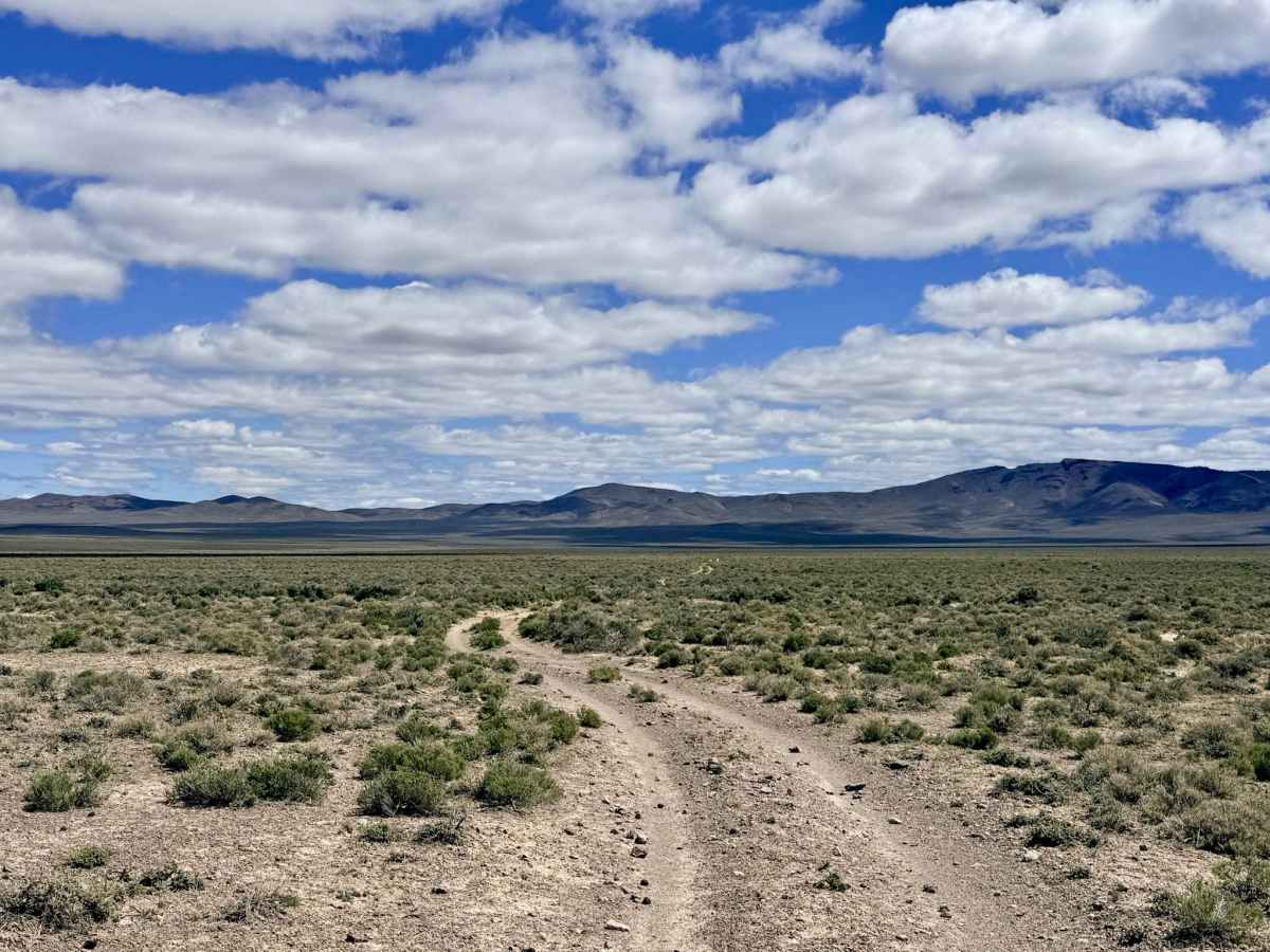
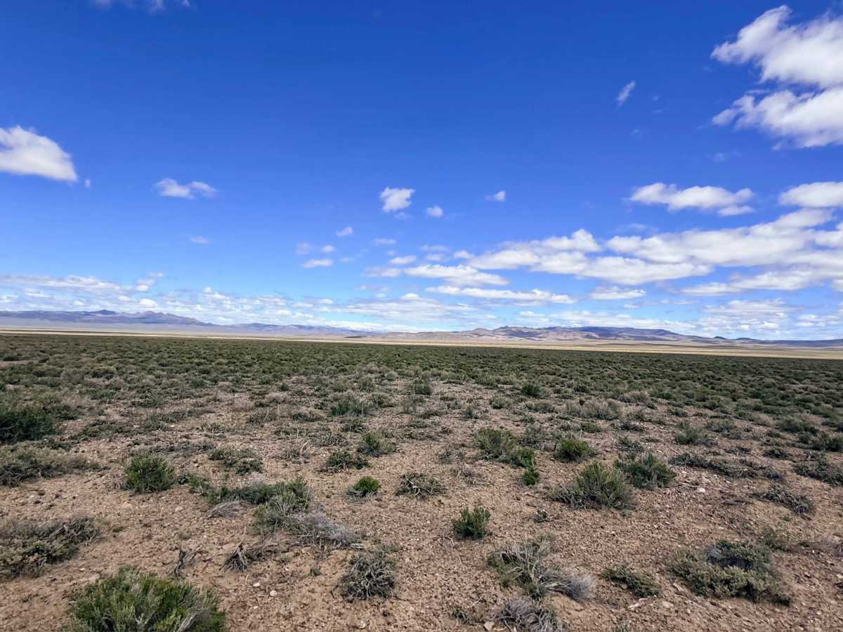
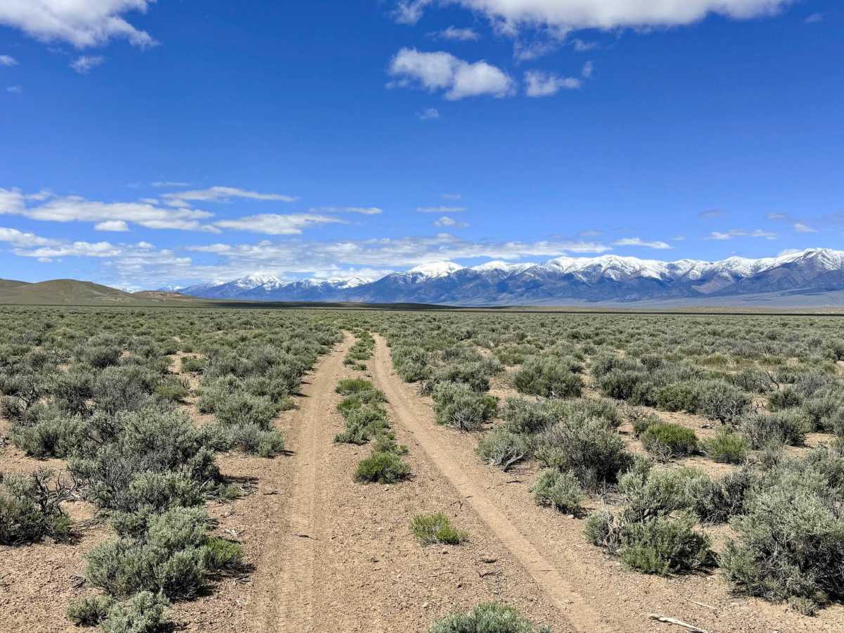
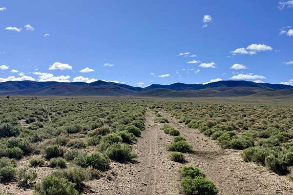
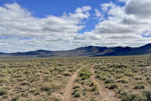
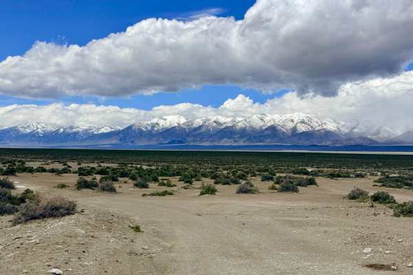
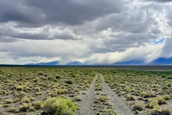
At first glance on a map, Pete’s Well appears to be a simple shortcut from Highway 50 toward the Spencer Hot Springs area. While it does provide access, this route is far more of a "scenic detour" than a high-speed highway. The trail consists of a narrow two-track that winds its way down from the foothills and across the vast valley floor, offering a much more intimate look at the rugged Nevada landscape than the wider, graded main roads. The drive takes you through a classic "sagebrush sea," where the aromatic brush often grows right up to the edge of the track. This is an active open-range area, and while you may encounter cattle, you are much more likely to see the area's wild residents. Herds of Pronghorn Antelope and groups of wild burros frequently race across the flats in front of you. While the majority of the trail is relatively smooth and easy, it is punctuated by a challenging, deeply rutted section that requires your full attention. Here, the trail narrows significantly, and the high center berm demands careful tire placement to avoid high-centering your vehicle.
If you are looking for the quickest and easiest way to Spencer Hot Springs, consider the wider, more established gravel access roads further north. Pete’s Well is best suited for those who prefer the scenic, slower-paced route. While you may see a couple of bars of LTE service, the data speeds are virtually non-existent in this part of the valley. Download offline maps before leaving the Austin area.