Trail Overview
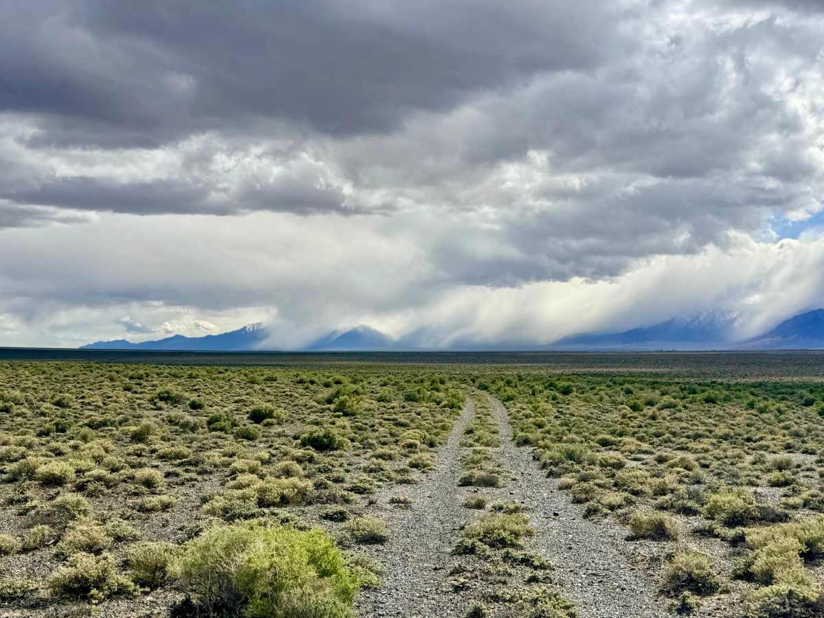
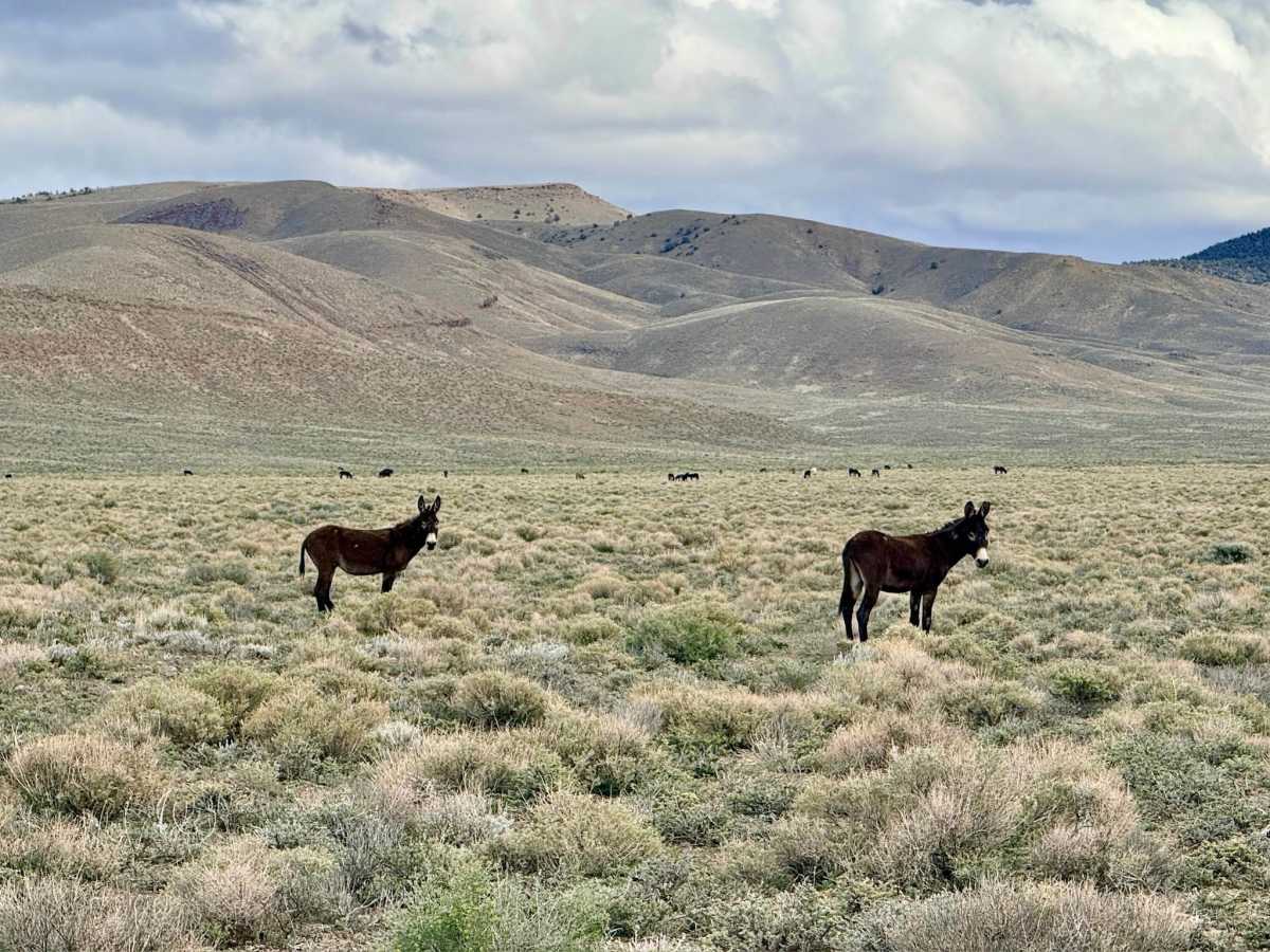
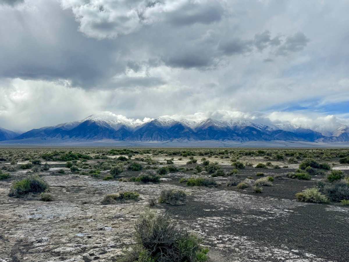
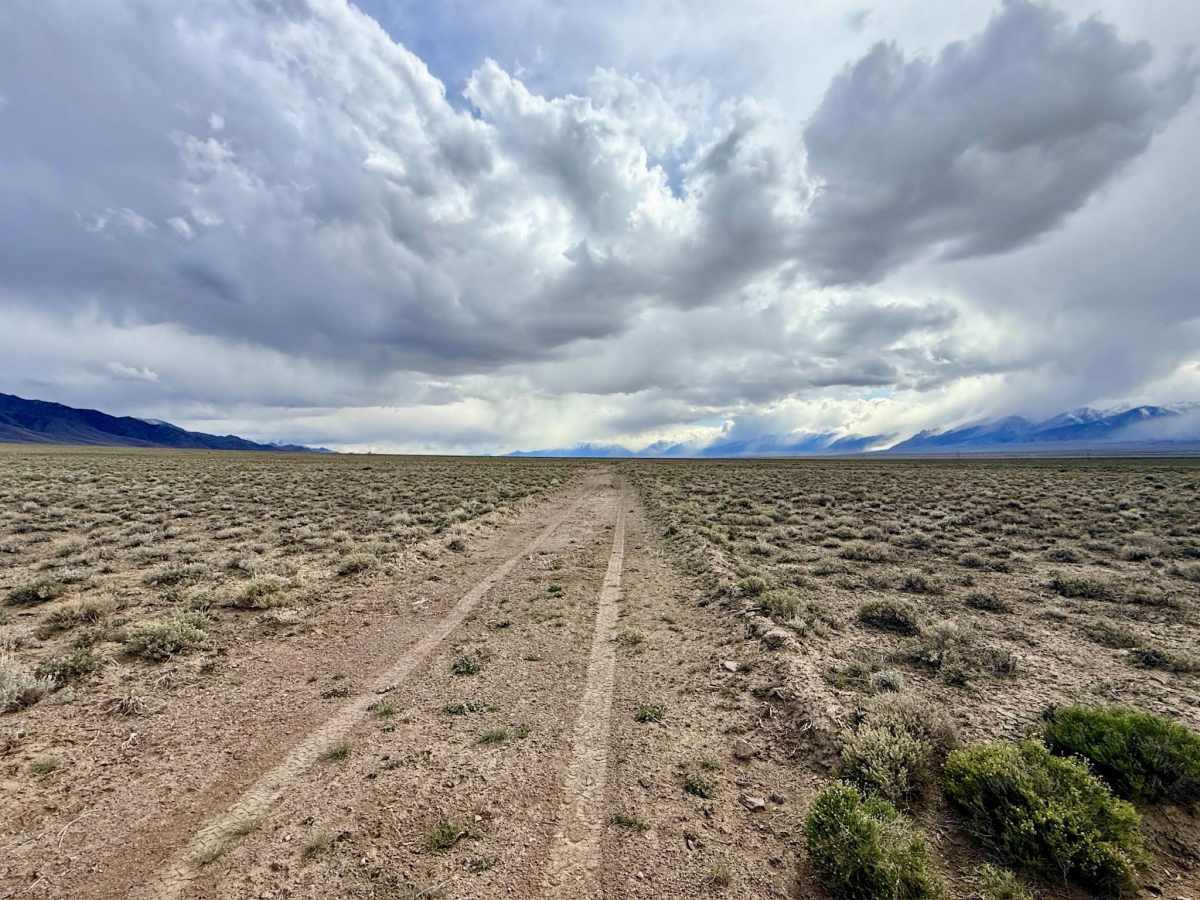
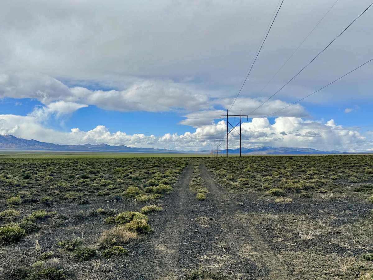
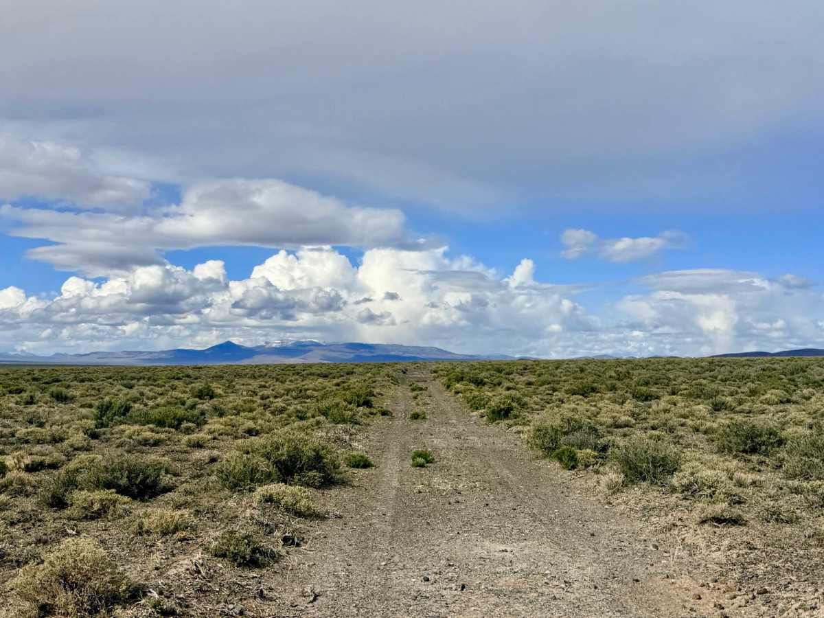
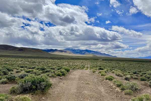
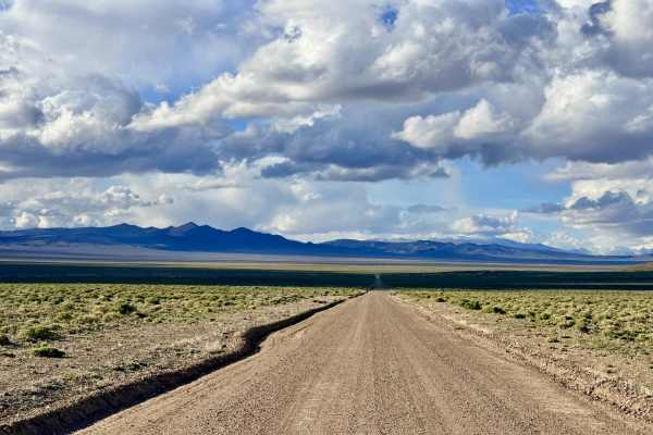
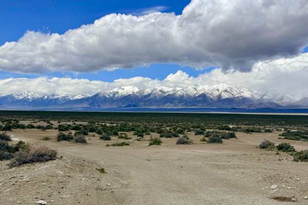
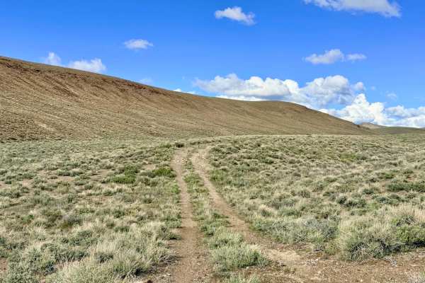
As the name suggests, the Lower Canyon Cutover Trail is a pleasant and efficient way to traverse the lower slopes of the canyon network, providing vital access to the various technical trails that branch off into the Toiyabe Range. This route is a popular "highway" for more than just off-roaders; the local wild donkey population has clearly claimed this as their primary thoroughfare, evidenced by the intricate zig-zagging tracks they’ve left right down the middle of the trail. The drive offers a smooth and scenic experience through the high-desert sagebrush. While the track is generally well-traveled, drivers should stay alert for occasional narrow sections and a few minor washouts that require basic tire placement. As you cruise along the foothills, you’ll be treated to amazing views of the rugged mountain peaks rising to your side and the vast valley floor below. This area is a haven for wildlife; in addition to the numerous wild donkeys you’ll encounter, keep a sharp eye out for Pronghorn Antelope. Their distinct hoof prints are everywhere in the soft dirt, indicating that a herd is likely nearby.
Expect very limited to no cell service on this low-lying cutover. The surrounding hills block signals from Austin and the main highway corridor. Download offline maps before leaving town.
Difficulty
Suitable for most high-clearance SUVs and 4x4 vehicles. Rated a 2 for its overall smooth surface. However, stay vigilant for the occasional "sneaky" washout that may have deepened since the last rain.
History
The Lower Canyon Cutover traces the transition zone between the fertile valley floor and the mineral-rich mountains. In the late 1800s, this area would have been a bustling corridor for "wood hawks"—the men who harvested pinyon and juniper to provide charcoal for the silver mills.