Trail Overview
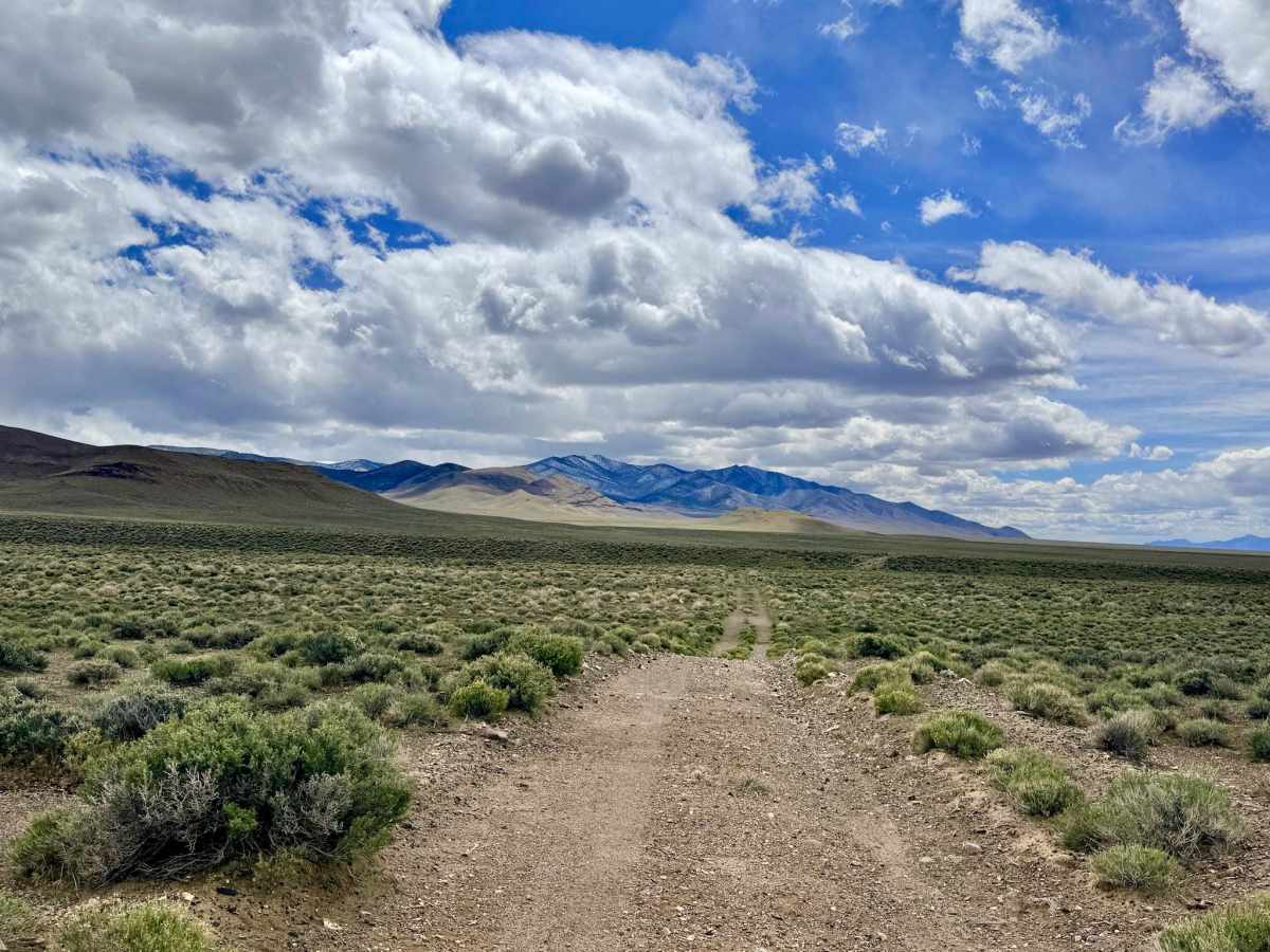
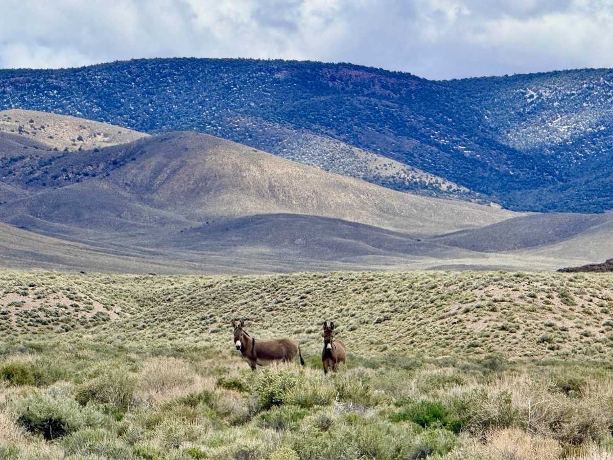
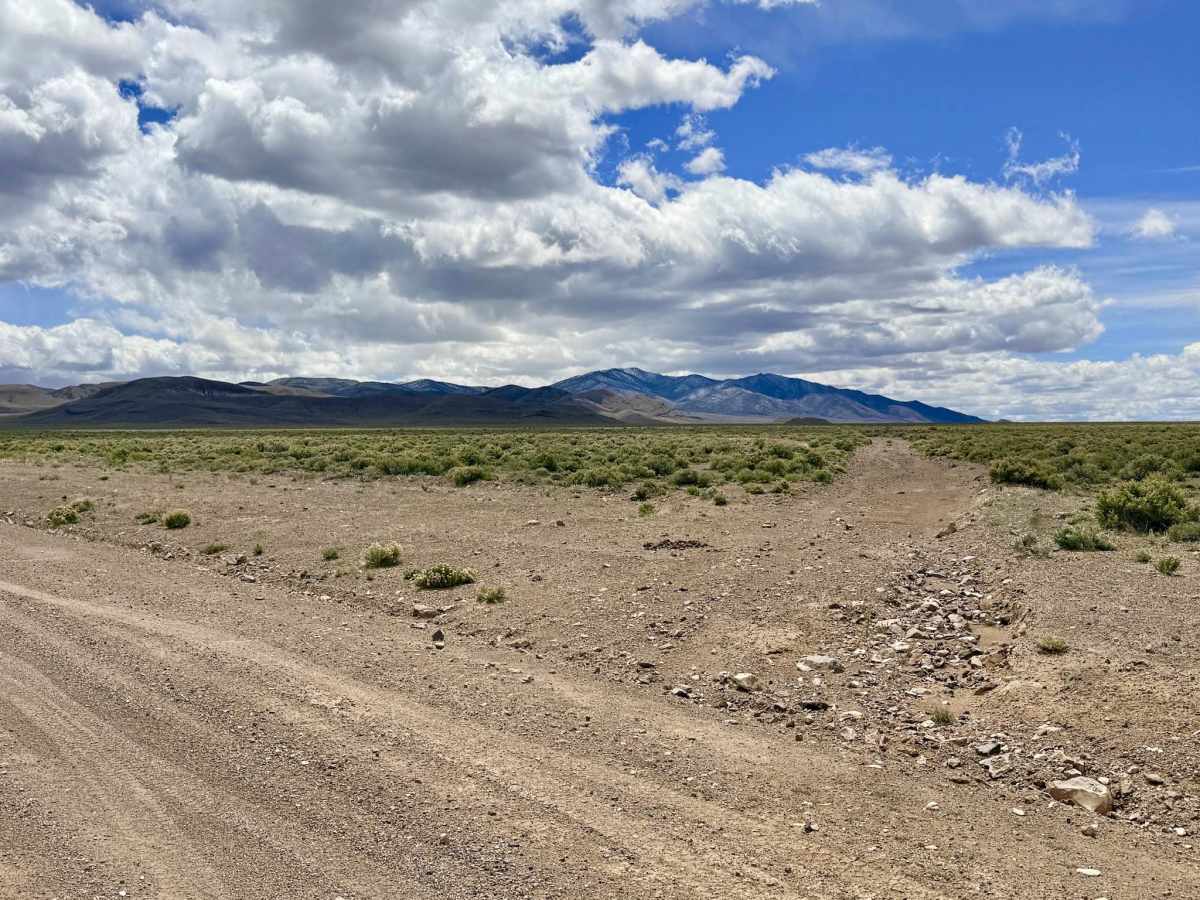
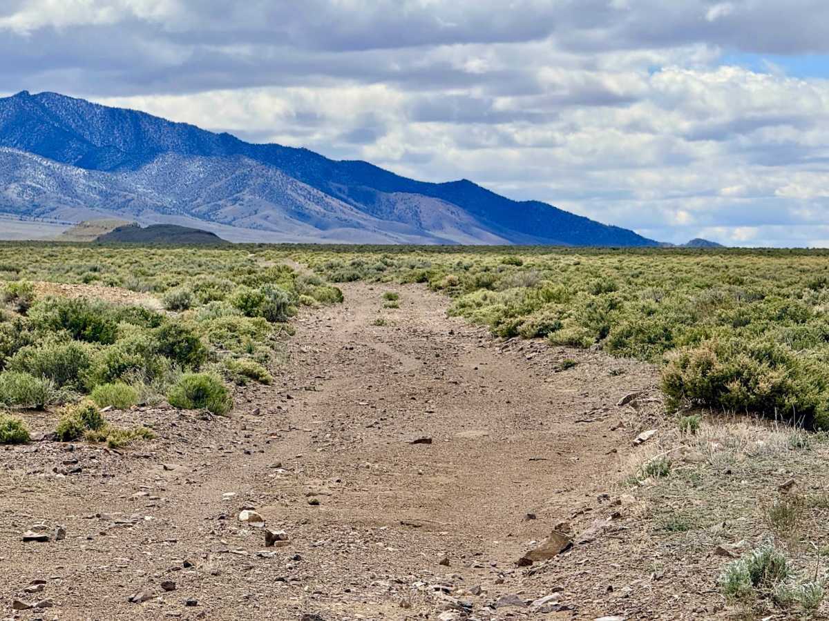
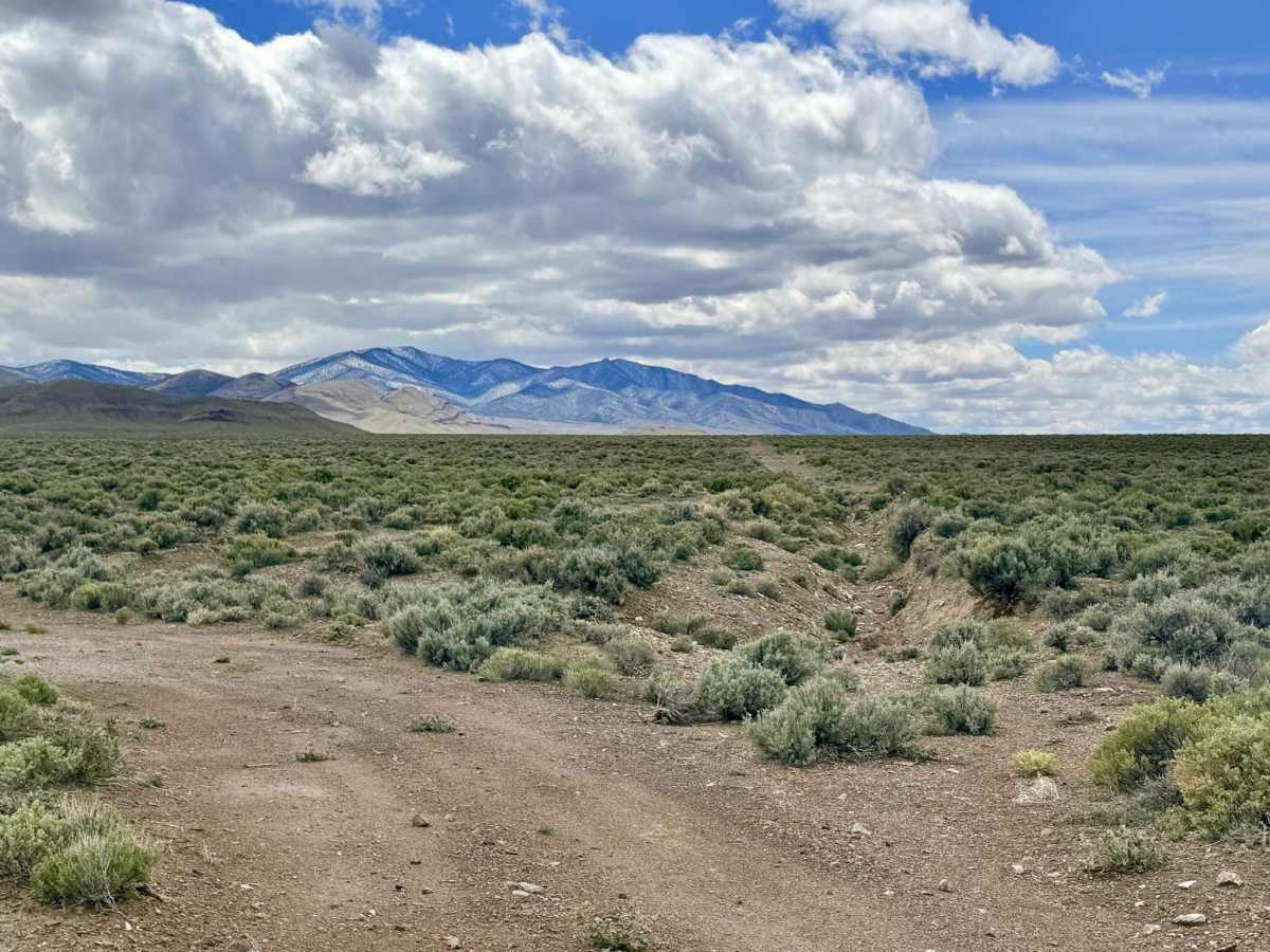
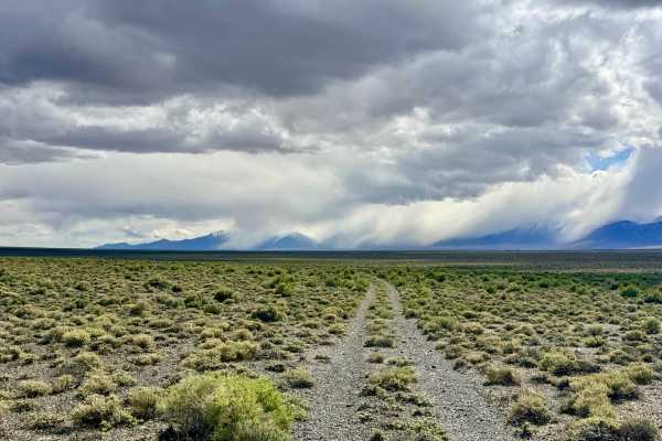
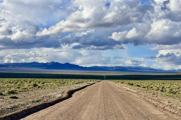
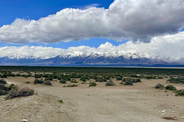
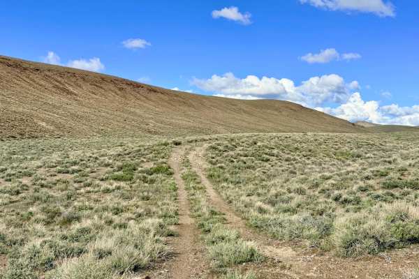
This trail offers a quintessential Nevada backcountry experience, where the "sagebrush sea" meets the looming shadows of the high peaks. The scenery here is spectacular, providing wide-angle views of the mountain range to the west and the expansive, sun-bleached valley floor to the east. While much of the route is relatively flat and easy, drivers should be prepared for a significant change in pace at the northern end. This section features several complicated, deep washouts that require technical navigation. They are deep enough to easily catch a low-hanging hitch or bumper if not approached with a careful line. Additionally, the trail remains narrow throughout, with limited passing room. This region is particularly well-known for its large wild burro population, the hardy descendants of mining pack animals from a century ago. You likely won't have to look for long before spotting a few watching you from the brush. However, be prepared for more than just sightings; the trail is often littered with "giant mountains" of burro scat that you'll need to navigate.
There is no cell service in this area. The vast valley floor and nearby foothills create a total signal shadow. Download offline maps before leaving the Austin or Highway 50 corridor.
History
The Bronco Mine Bypass traverses land that once pulsed with the energy of the Nevada silver rush. The mine itself likely took its name from the "bronco" horses and burros that were essential to the operation.