Parrotte Springs / Hannapah Road - FS 44505
Total Miles
2.0
Technical Rating
Best Time
Spring, Summer, Fall
Trail Type
Full-Width Road
Accessible By
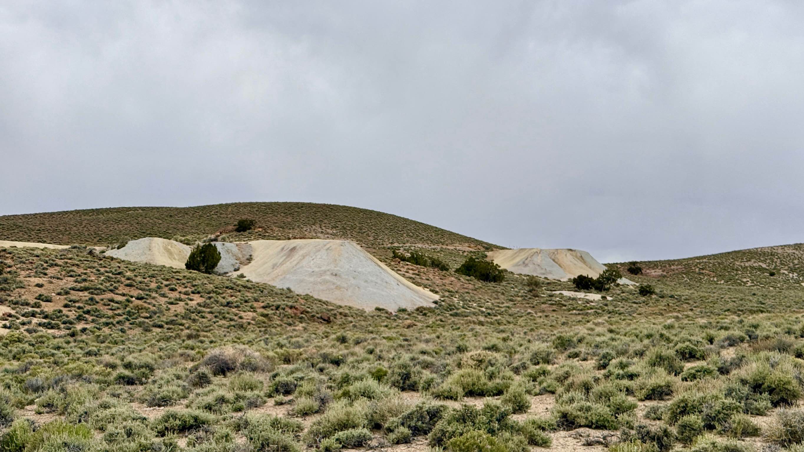
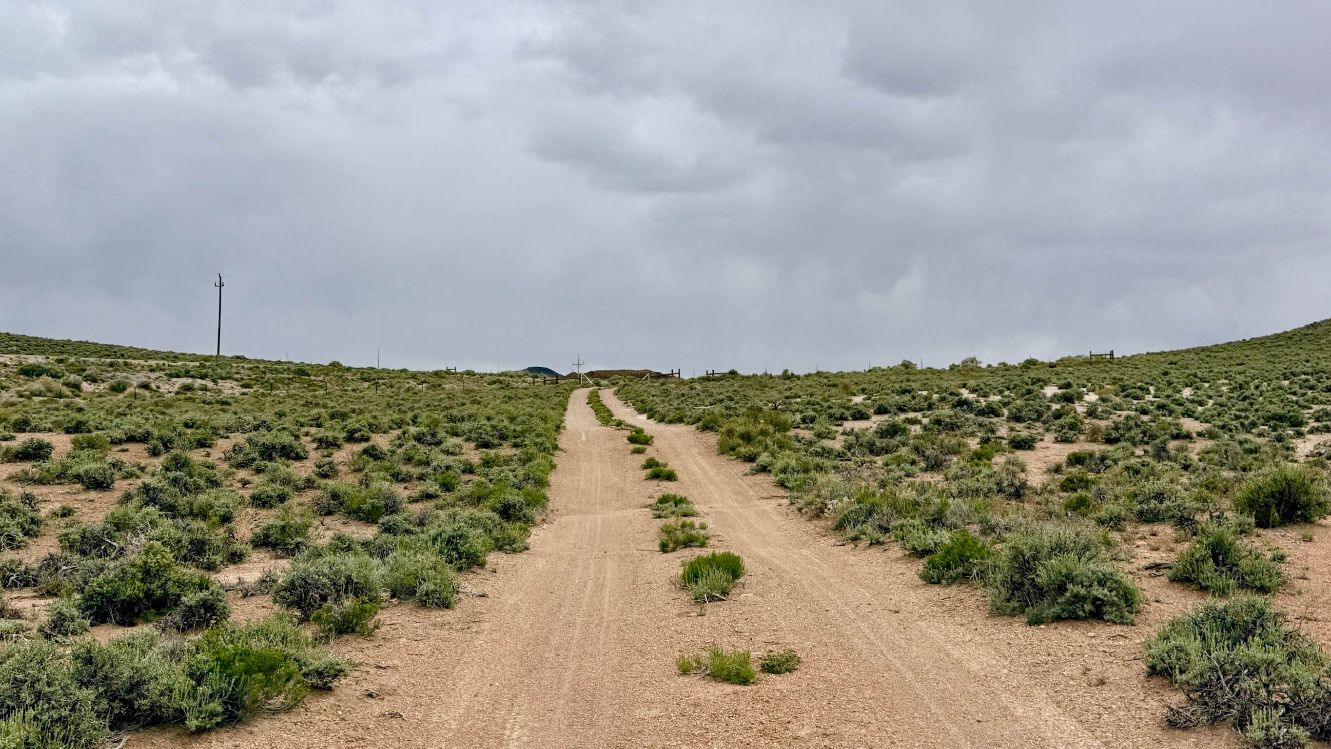
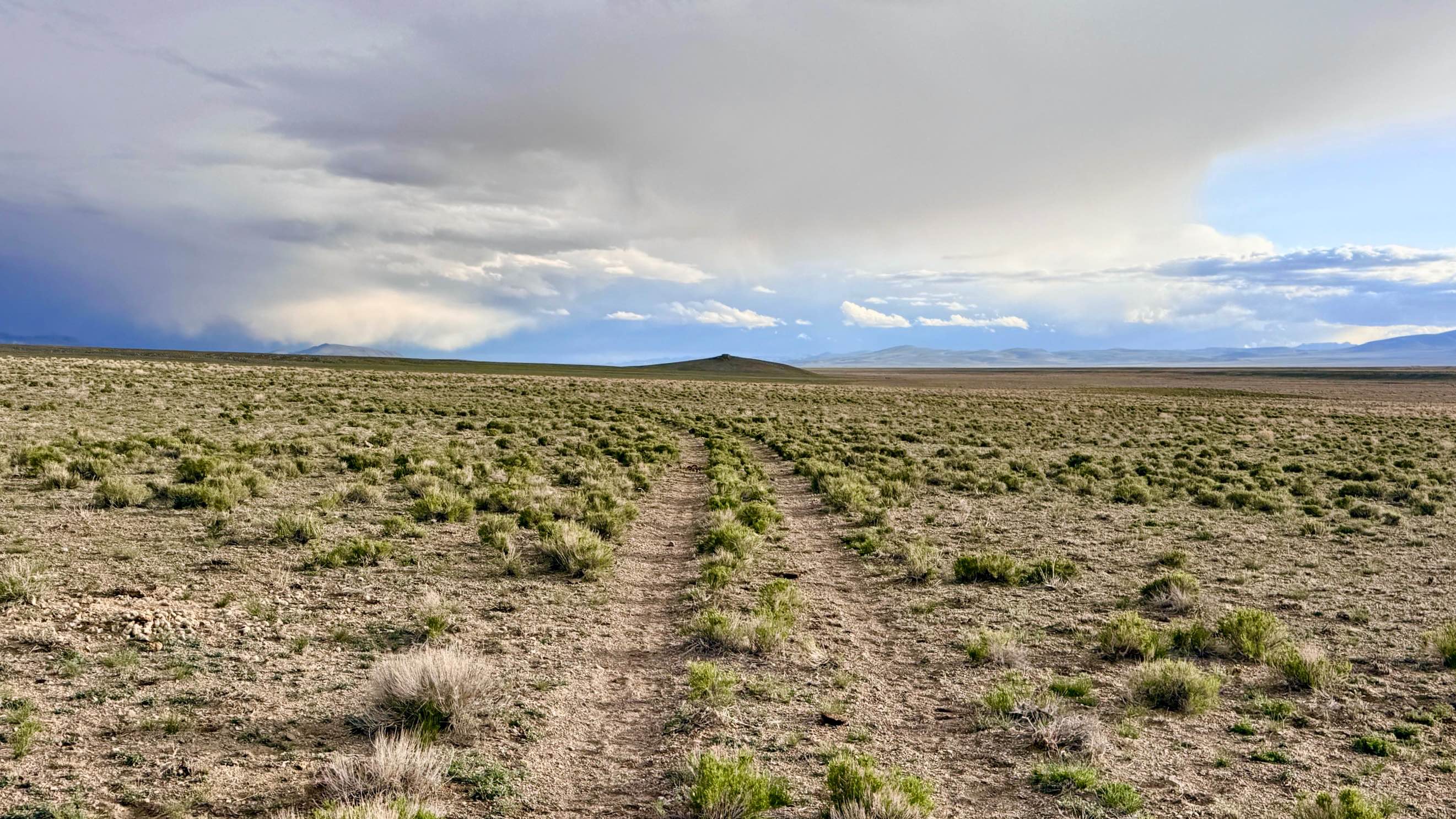
Trail Overview
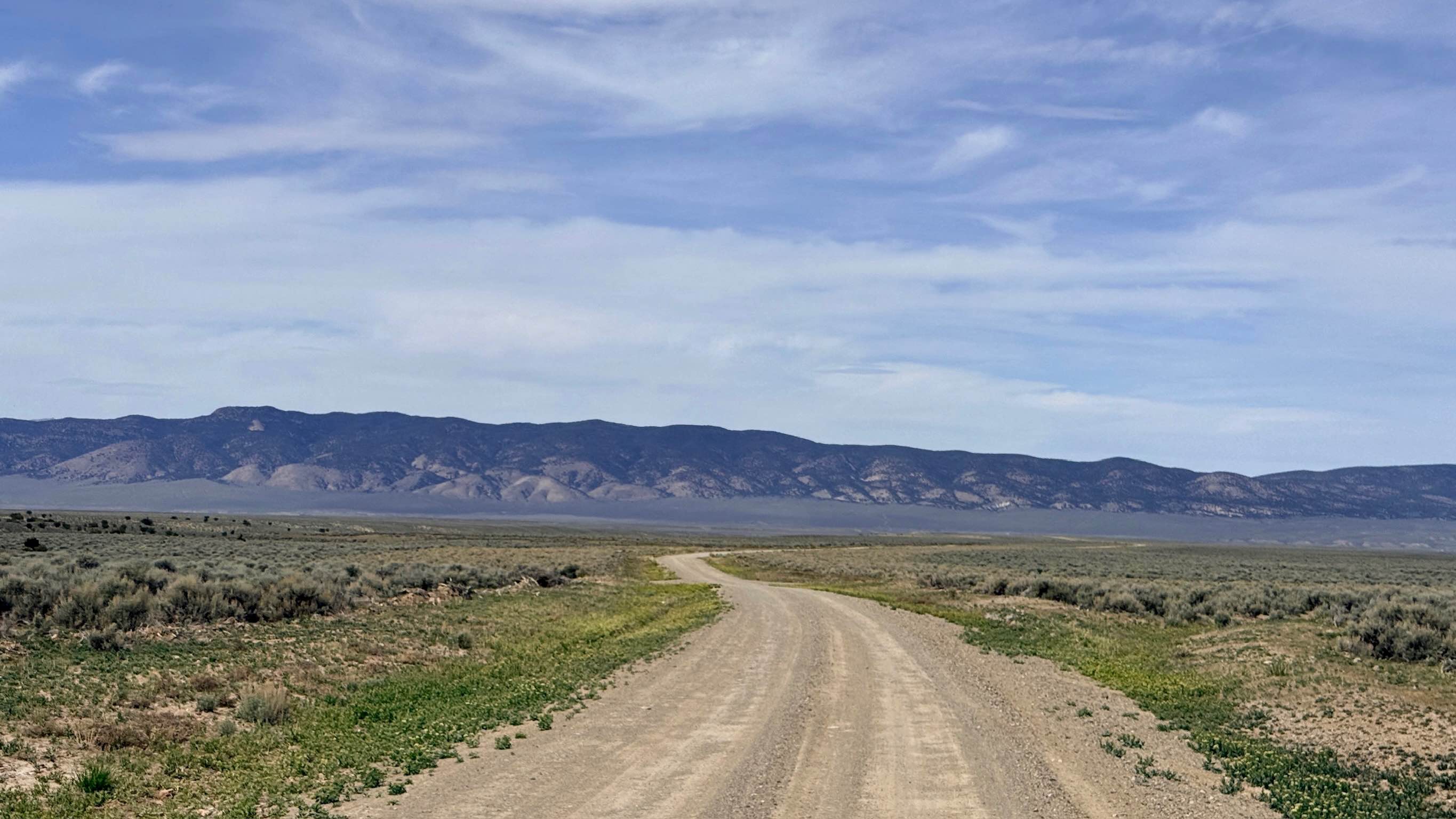
This is an excellent choice for a short out-and-back trip for those with limited time who still want to experience high-desert mining history. Parrotte Springs Road, also known locally as Hannapah Road, is the primary and most accessible route leading into the historic Hannapah Silver Star mine complex. This trail offers a quintessential Nevada "mining tour" experience, transporting you into a landscape shaped by early 20th-century industry. As you reach the mine site, you are greeted by a striking array of tailings piles in assorted colors ranging from deep ochres to pale grays that mark the extensive underground workings of the Silver Star Mine. The drive itself is engaging and scenic, featuring gentle twists and turns as the road rises and falls along the natural contours of the volcanic foothills. Travelers are treated to fantastic vistas of the surrounding mountain ranges and wide-open valleys. A major geological highlight of this route is the clear view of the area's distinct volcanic cones, most notably the prominent Red Peak to the north. Whether you are looking for a quick "pop-in" to explore the mining ruins or planning to use this as a jumping-off point to explore deeper into the San Antonio Range, this trail provides a smooth and rewarding experience. The Silver Star mine complex is a fascinating historical site, but it contains hazards. Several mine shafts are located near the trail; while many are protected by fencing, you should always maintain a safe distance and keep a close eye on children and pets. Expect no cell service on this trail. The remote location east of Tonopah is known as a dead zone. Download offline maps before leaving town.
Photos of Parrotte Springs / Hannapah Road - FS 44505
Difficulty
Rated a 2 for its generally easy-going nature. Drivers should stay alert for a few minor washouts that have been "dug out" by seasonal rains, but these are easily managed.
History
The Hannapah district was born out of the massive silver excitement that gripped Tonopah in 1900. By 1902, the Silver Star Mine was one of the leading claims in this outlying district. Unlike the 1860s "pick and shovel" mines, Hannapah represented the "Second Silver Age" of Nevada, utilizing more advanced machinery and steam-powered apparatus to reach deep veins. The assorted tailings and rusted equipment you see today are the remnants of a community that believed this volcanic range would become the next Comstock Lode.
Status Reports
Parrotte Springs / Hannapah Road - FS 44505 can be accessed by the following ride types:
- High-Clearance 4x4
- SUV
- SxS (60")
- ATV (50")
- Dirt Bike
Parrotte Springs / Hannapah Road - FS 44505 Map
Popular Trails
Spanish Connector

Restoration Point Road - 36 B
Como Sunrise Crossover Trail
Silver Creek Road
The onX Offroad Difference
onX Offroad combines trail photos, descriptions, difficulty ratings, width restrictions, seasonality, and more in a user-friendly interface. Available on all devices, with offline access and full compatibility with CarPlay and Android Auto. Discover what you’re missing today!