Parrotte Springs Trail - FS 44505
Total Miles
5.1
Technical Rating
Best Time
Spring, Summer, Fall
Trail Type
Full-Width Road
Accessible By
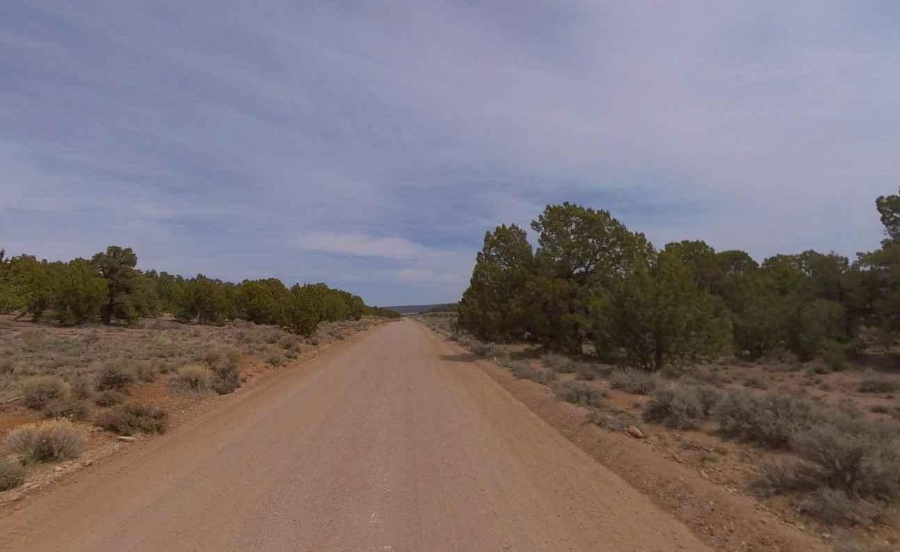
Trail Overview
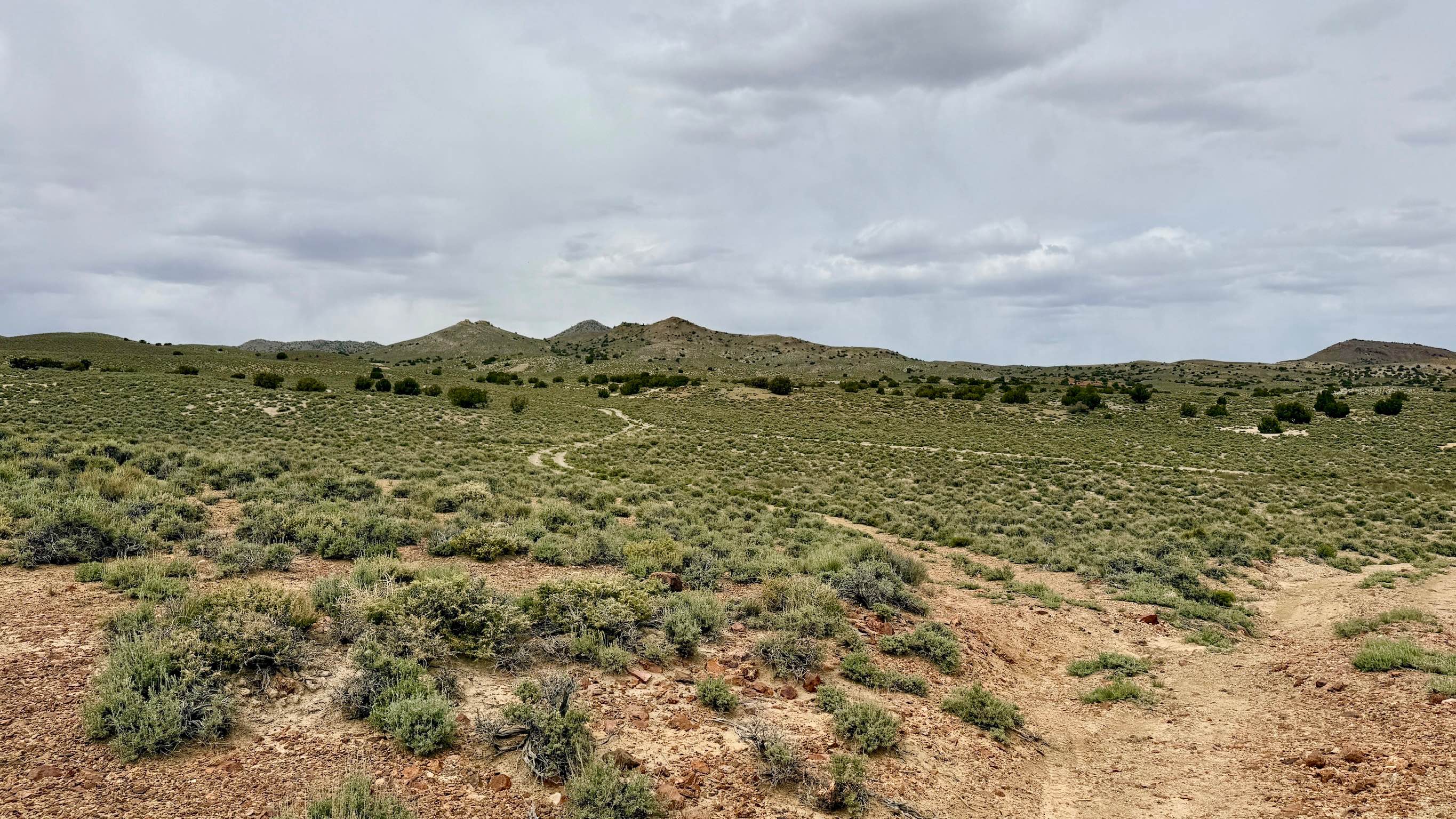
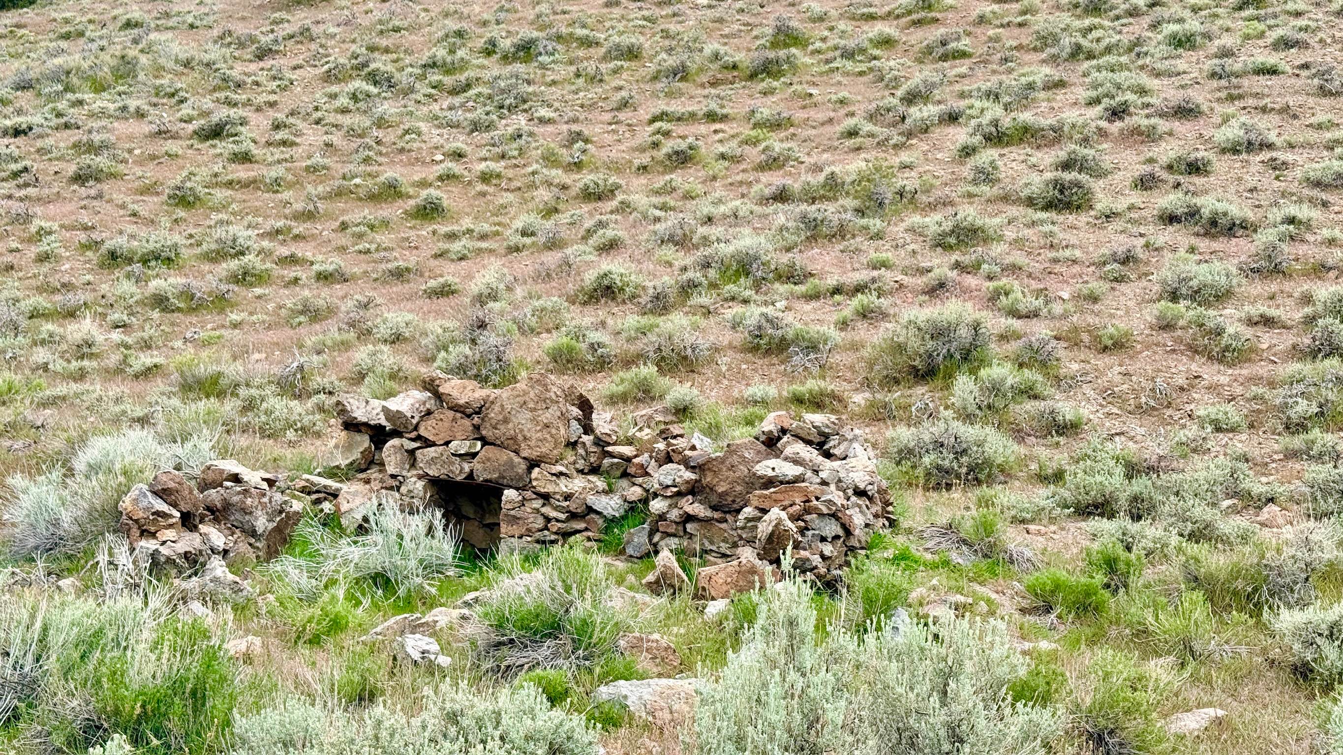
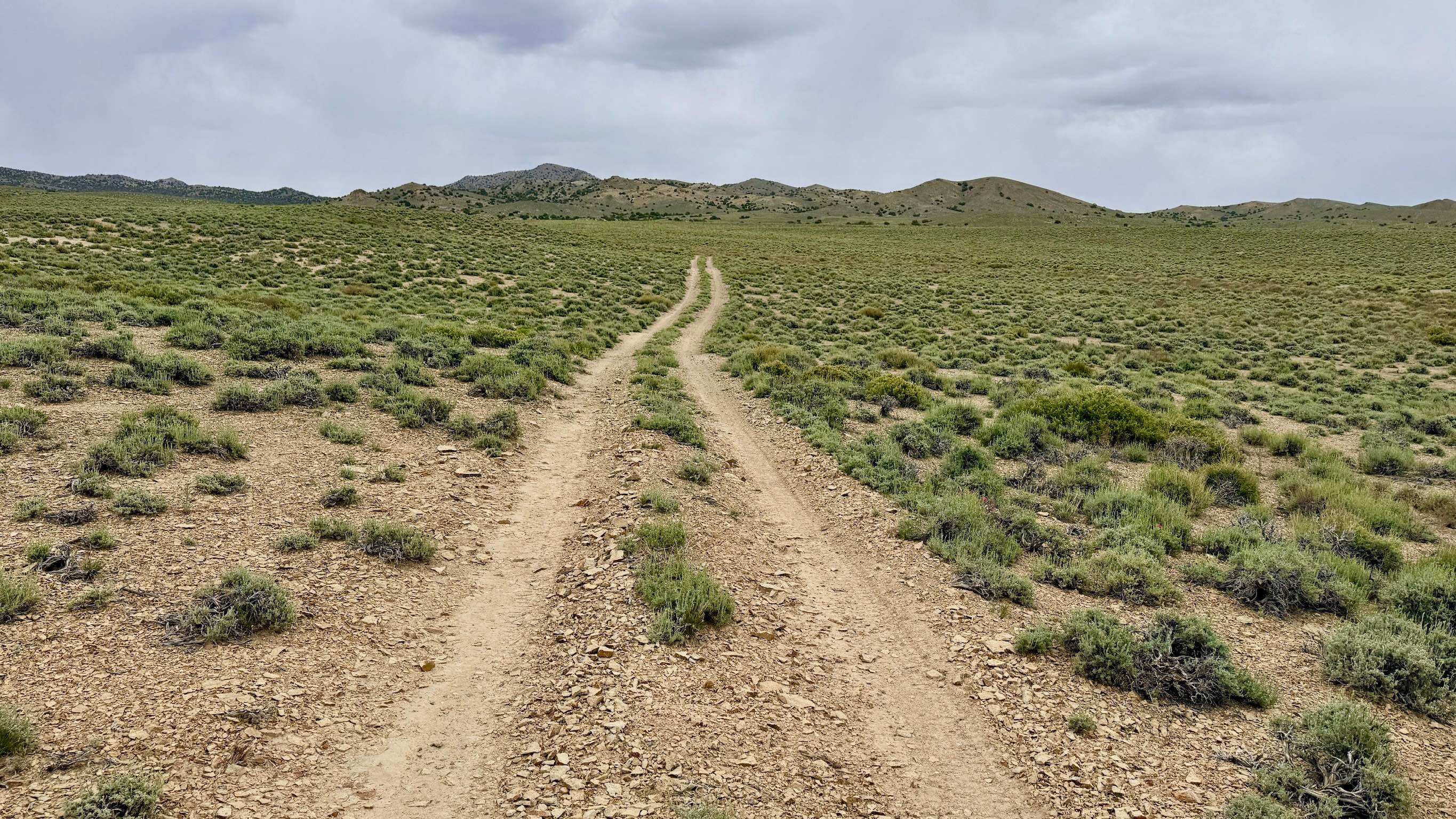
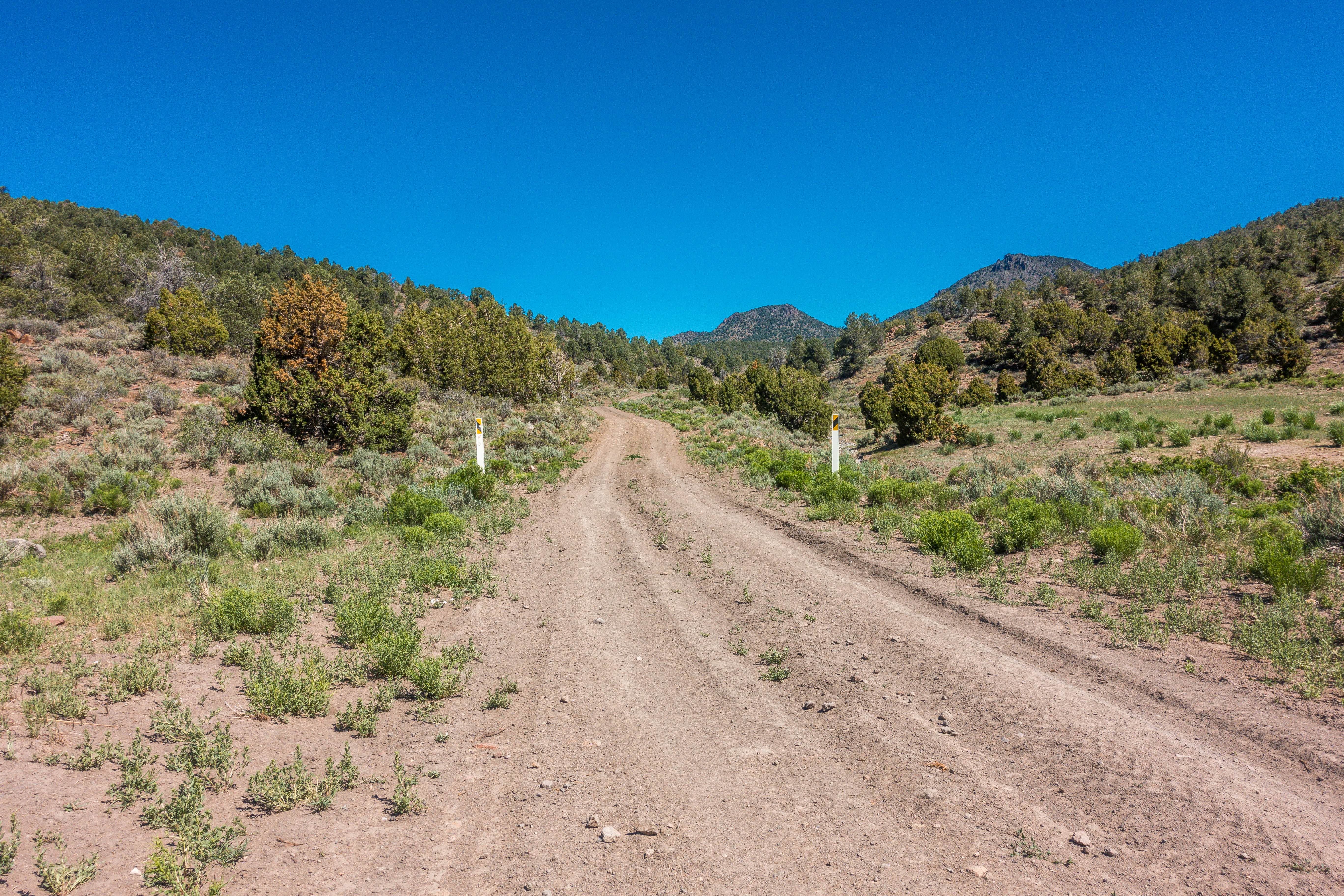
This rugged, immersive route provides a vital north-south connection through the heart of the San Antonio Mountains. This trail is perfect for those who enjoy a variety of terrain. The track alternates between established two-track and technical segments that follow natural creek beds and sandy dry washes. As you navigate the winding corridor, you'll pass several unnamed historic mine sites and the poignant stone foundation of an old homestead, serving as a reminder of the families who once tried to carve a life out of this volcanic landscape. The drive is engaging and requires constant attention to the terrain. Because the trail frequently drops into and out of dry washes, drivers will encounter significant "dug-out" sections where erosion has created steep transitions and technical obstacles. You will also need to navigate over several larger rocks and manage loose, silty climbs to exit the wash beds. This area is a haven for high-desert wildlife; keep a sharp eye out for desert rabbits and Sage Grouse in the brush, and you may even encounter a wild burro watching from a nearby ridge. This is a fantastic trail for those seeking adventure and a break from the more-traveled mining roads. This is an active open-range area. Please leave all gates exactly as you found them to assist with local land management. There can be a Flash Flood Risk. A significant portion of this trail resides in a drainage system. Avoid this route if rain is predicted for the area. There is no cell service on this trail. The deep folds of the San Antonio Mountains block all incoming signals. Download offline maps before heading out.
Photos of Parrotte Springs Trail - FS 44505
Difficulty
Rated a 3 for its technical transitions. The most challenging segments are the steep climbs out of the dry washes. There are several large rocks to navigate over or around.
Status Reports
Parrotte Springs Trail - FS 44505 can be accessed by the following ride types:
- High-Clearance 4x4
- SUV
- SxS (60")
- ATV (50")
- Dirt Bike
Parrotte Springs Trail - FS 44505 Map
Popular Trails
Cedar Corral - FS 44491
White River to Hamilton

Mina Mercury Mine Loop
Acoma-FR30017
The onX Offroad Difference
onX Offroad combines trail photos, descriptions, difficulty ratings, width restrictions, seasonality, and more in a user-friendly interface. Available on all devices, with offline access and full compatibility with CarPlay and Android Auto. Discover what you’re missing today!