Off-Road Trails in California
Discover off-road trails in California
Learn more about Moore Pilot Ridge - FS 2S14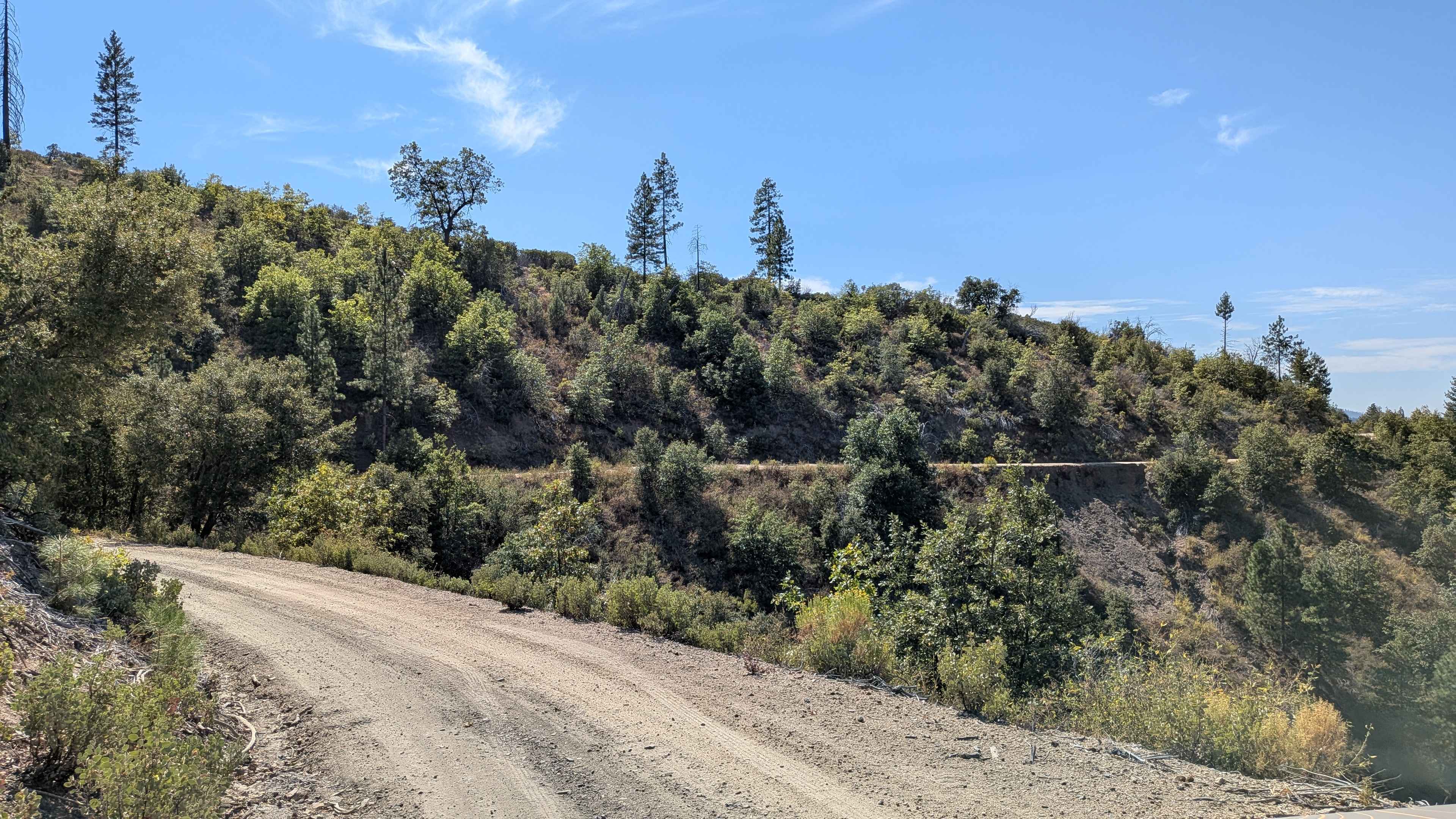
Moore Pilot Ridge - FS 2S14
Total Miles
6.7
Tech Rating
Easy
Best Time
Summer, Spring, Fall
Learn more about Moraine Picnic 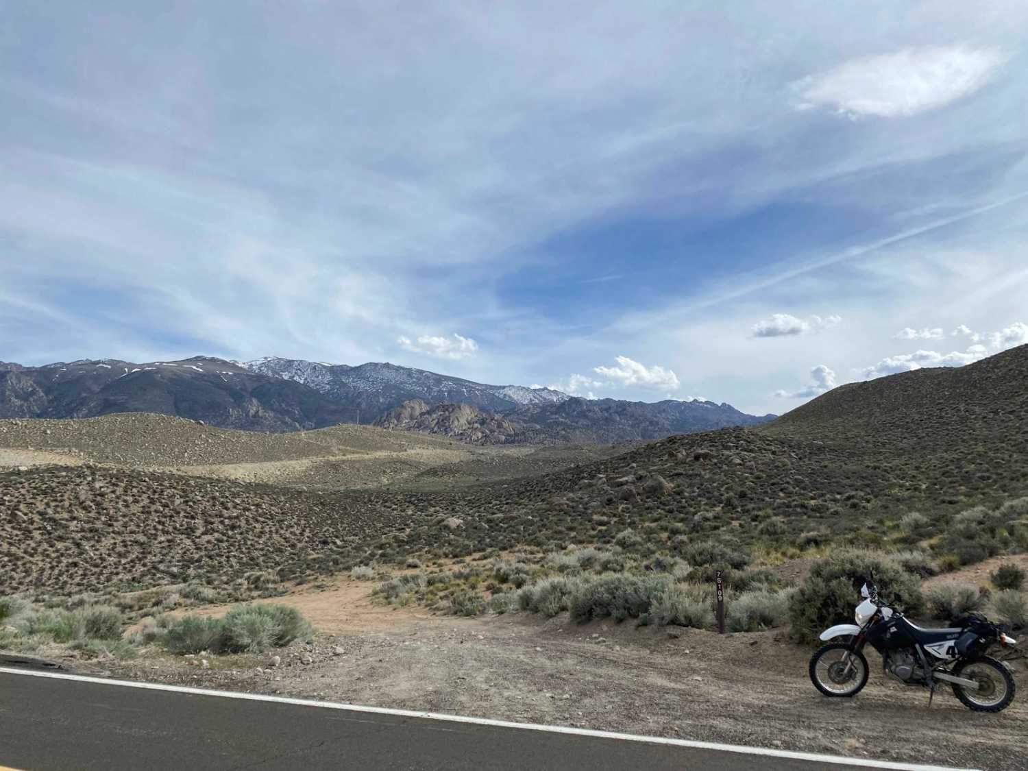
Moraine Picnic
Total Miles
5.2
Tech Rating
Moderate
Best Time
Summer, Fall, Spring
Learn more about Mosquito Ridge Lookout FS 96-010
Mosquito Ridge Lookout FS 96-010
Total Miles
1.4
Tech Rating
Easy
Best Time
Spring, Summer

Learn more about Mount Lively South Fork Mountain Road
Mount Lively South Fork Mountain Road
Total Miles
5.7
Tech Rating
Easy
Best Time
Summer, Fall
Learn more about Mount Patterson
Mount Patterson
Total Miles
17.8
Tech Rating
Moderate
Best Time
Summer, Fall
Learn more about Mount Raymond Road - FS 5S006
Mount Raymond Road - FS 5S006
Total Miles
8.7
Tech Rating
Easy
Best Time
Summer, Fall
Learn more about Mount Tom Lookout - FS 6S002A
Mount Tom Lookout - FS 6S002A
Total Miles
2.7
Tech Rating
Easy
Best Time
Summer, Fall
Learn more about Mountain Chief - FS 10-006
Mountain Chief - FS 10-006
Total Miles
2.5
Tech Rating
Easy
Best Time
Spring, Summer, Fall
Learn more about Mountain Top - FS 9S040A
Mountain Top - FS 9S040A
Total Miles
0.7
Tech Rating
Easy
Best Time
Summer, Fall
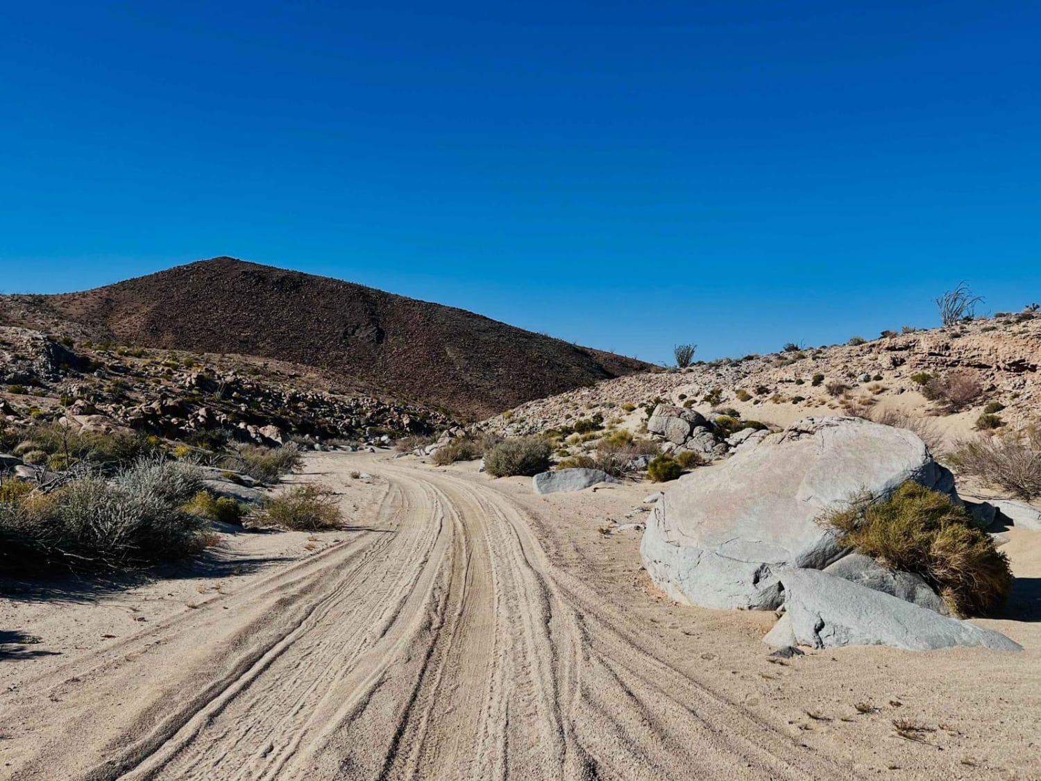
Learn more about Movie Road, Alabama Hills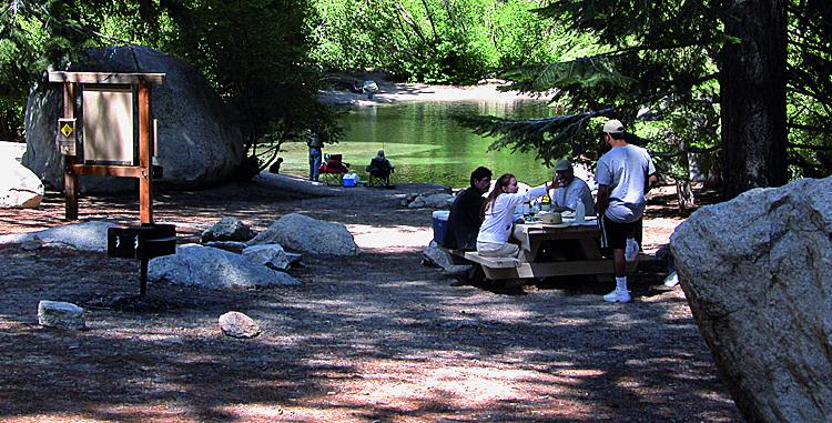
Movie Road, Alabama Hills
Total Miles
21.0
Tech Rating
Easy
Best Time
Summer
Learn more about Mugler/Topping A Spur - FS 22E300/5S503A
Mugler/Topping A Spur - FS 22E300/5S503A
Total Miles
0.9
Tech Rating
Easy
Best Time
Summer, Fall
Learn more about Murano Trail Part 1
Murano Trail Part 1
Total Miles
2.1
Tech Rating
Easy
Best Time
Winter, Fall, Spring
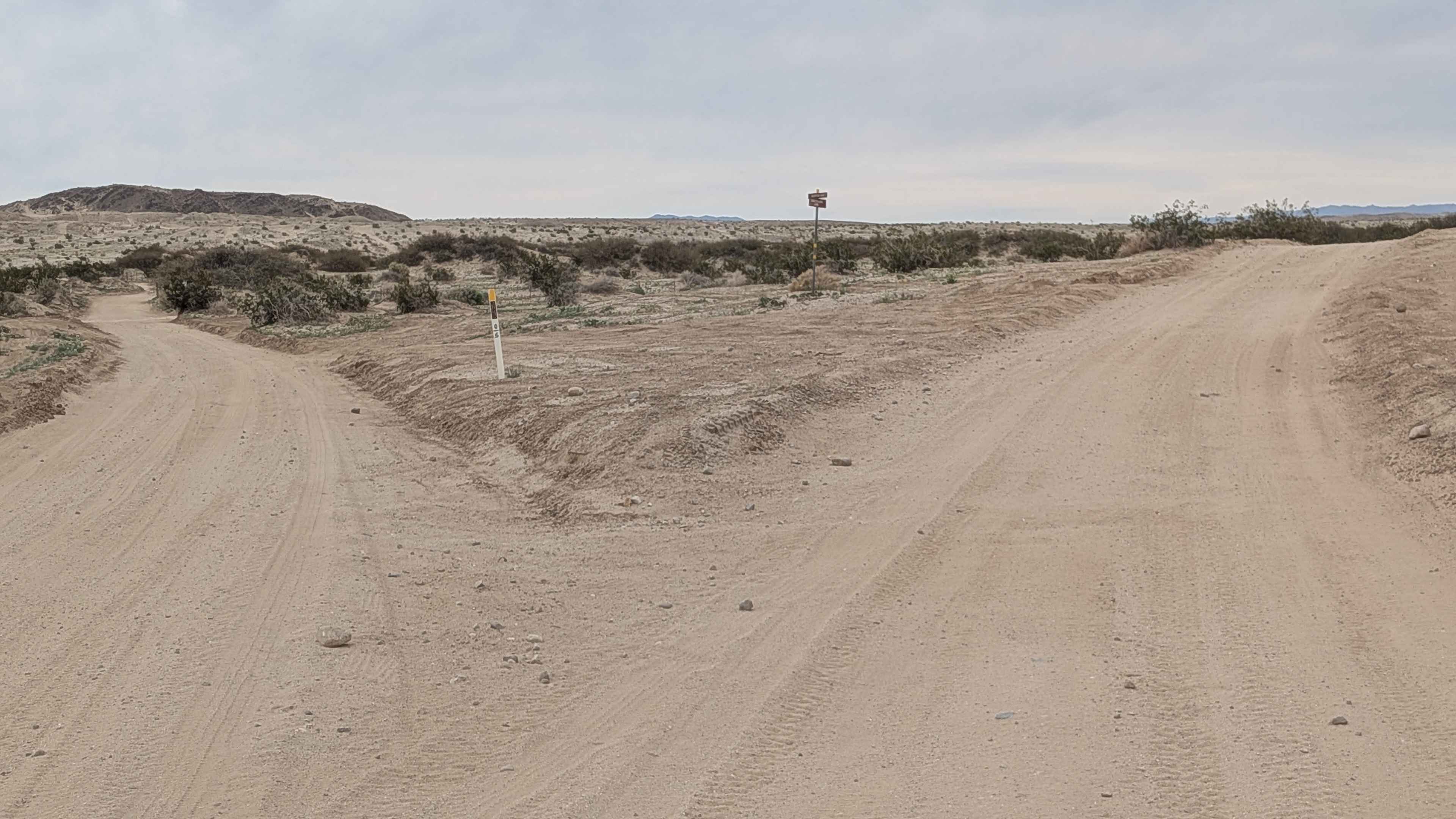
Learn more about Nadeau-Magnolia Mine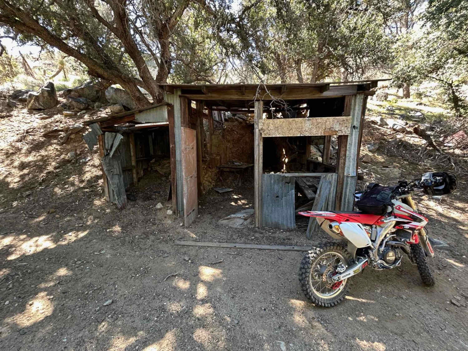
Nadeau-Magnolia Mine
Total Miles
7.3
Tech Rating
Easy
Best Time
Spring, Fall, Winter
Learn more about Napoleon Canyon Road - FS 32092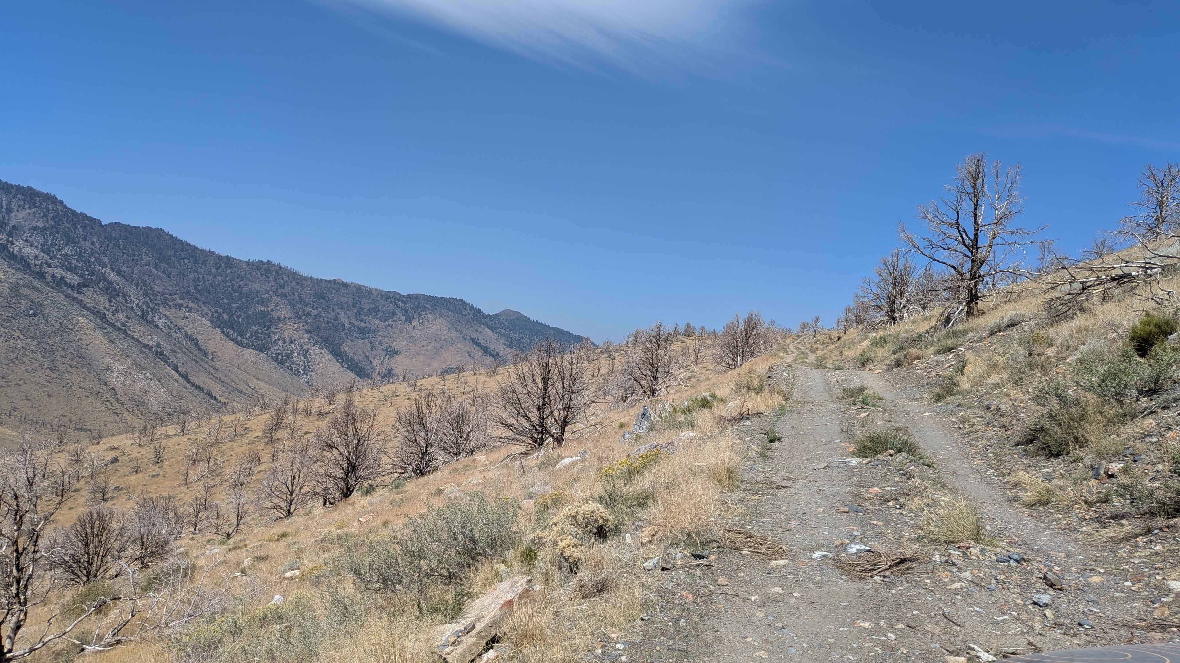
Napoleon Canyon Road - FS 32092
Total Miles
3.4
Tech Rating
Easy
Best Time
Fall, Summer, Spring
ATV trails in California


UTV/side-by-side trails in California


Learn more about 3N267 Fenner Saddle (4N12)
3N267 Fenner Saddle (4N12)
Total Miles
3.8
Tech Rating
Difficult
Best Time
Spring, Summer, Fall, Winter

The onX Offroad Difference
onX Offroad combines trail photos, descriptions, difficulty ratings, width restrictions, seasonality, and more in a user-friendly interface. Available on all devices, with offline access and full compatibility with CarPlay and Android Auto. Discover what you’re missing today!