Off-Road Trails in California
Discover off-road trails in California
Learn more about Nate Harrison Grade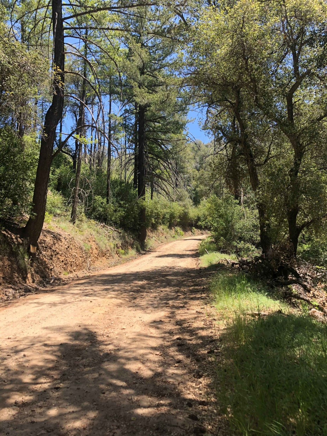
Nate Harrison Grade
Total Miles
8.2
Tech Rating
Easy
Best Time
Spring, Summer, Fall
Learn more about New Dixie Mine Road - BLM C2330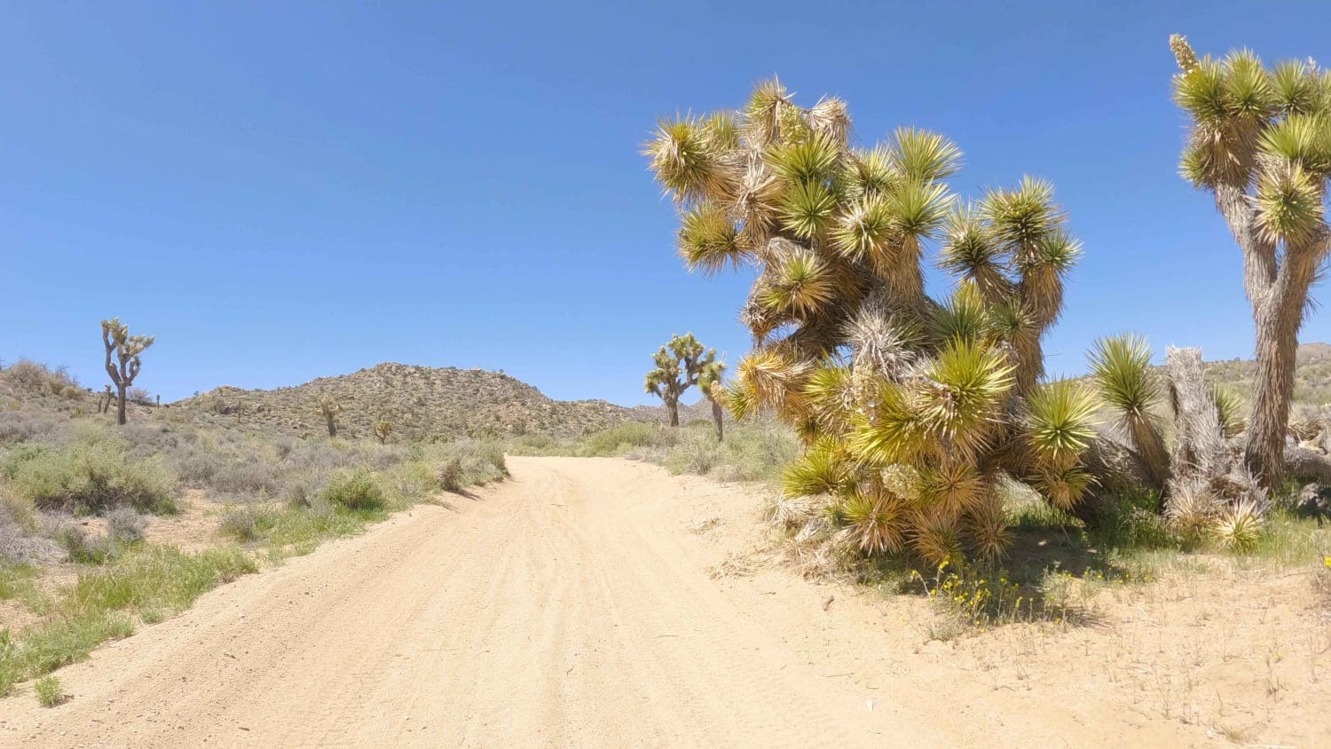
New Dixie Mine Road - BLM C2330
Total Miles
8.5
Tech Rating
Easy
Best Time
Spring, Fall, Winter
Learn more about NF 2NO1 Broom Flats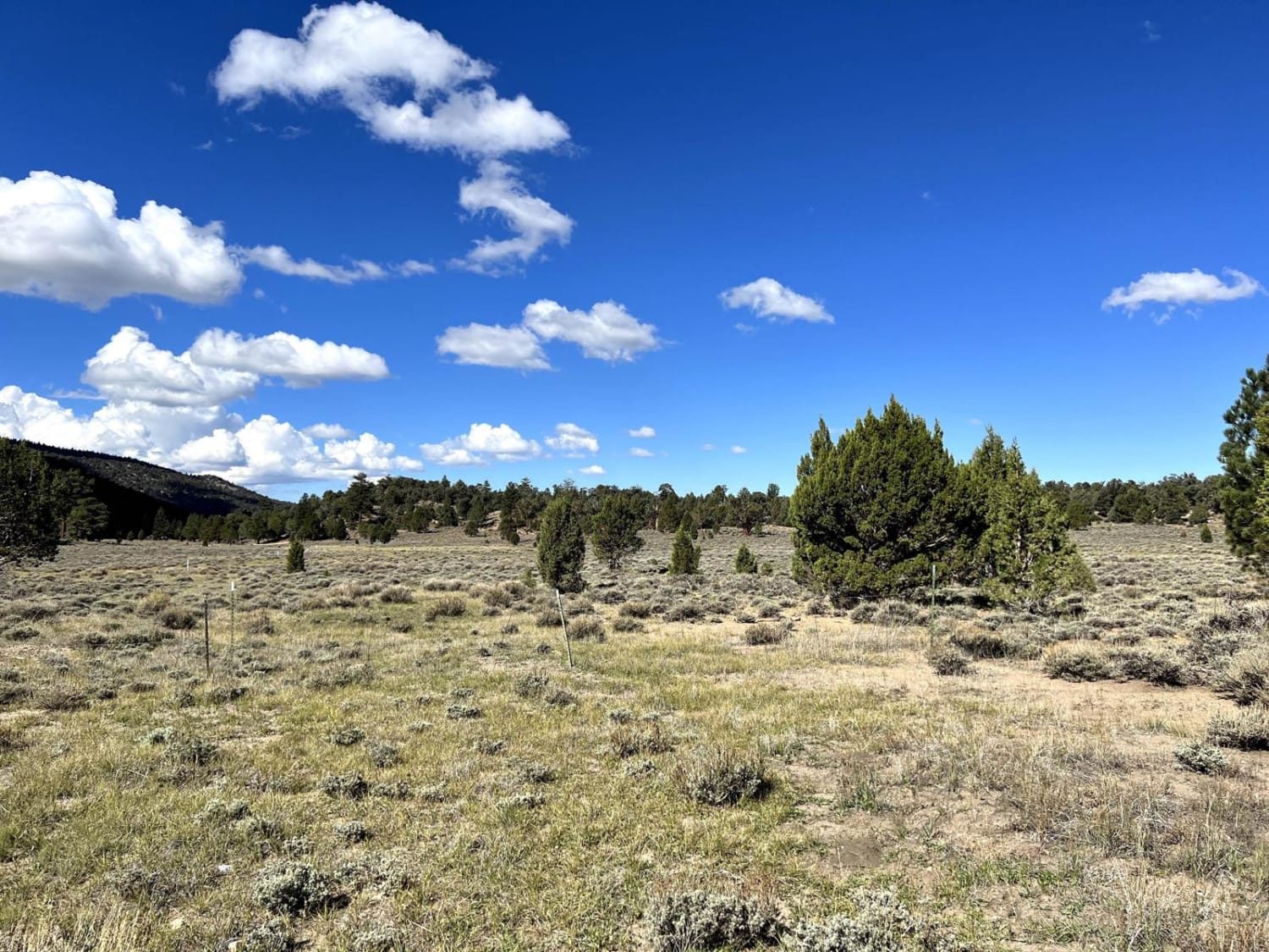
NF 2NO1 Broom Flats
Total Miles
6.1
Tech Rating
Easy
Best Time
Spring, Summer, Fall
Learn more about Nightmare
Nightmare
Total Miles
0.3
Tech Rating
Difficult
Best Time
Winter, Fall, Summer, Spring
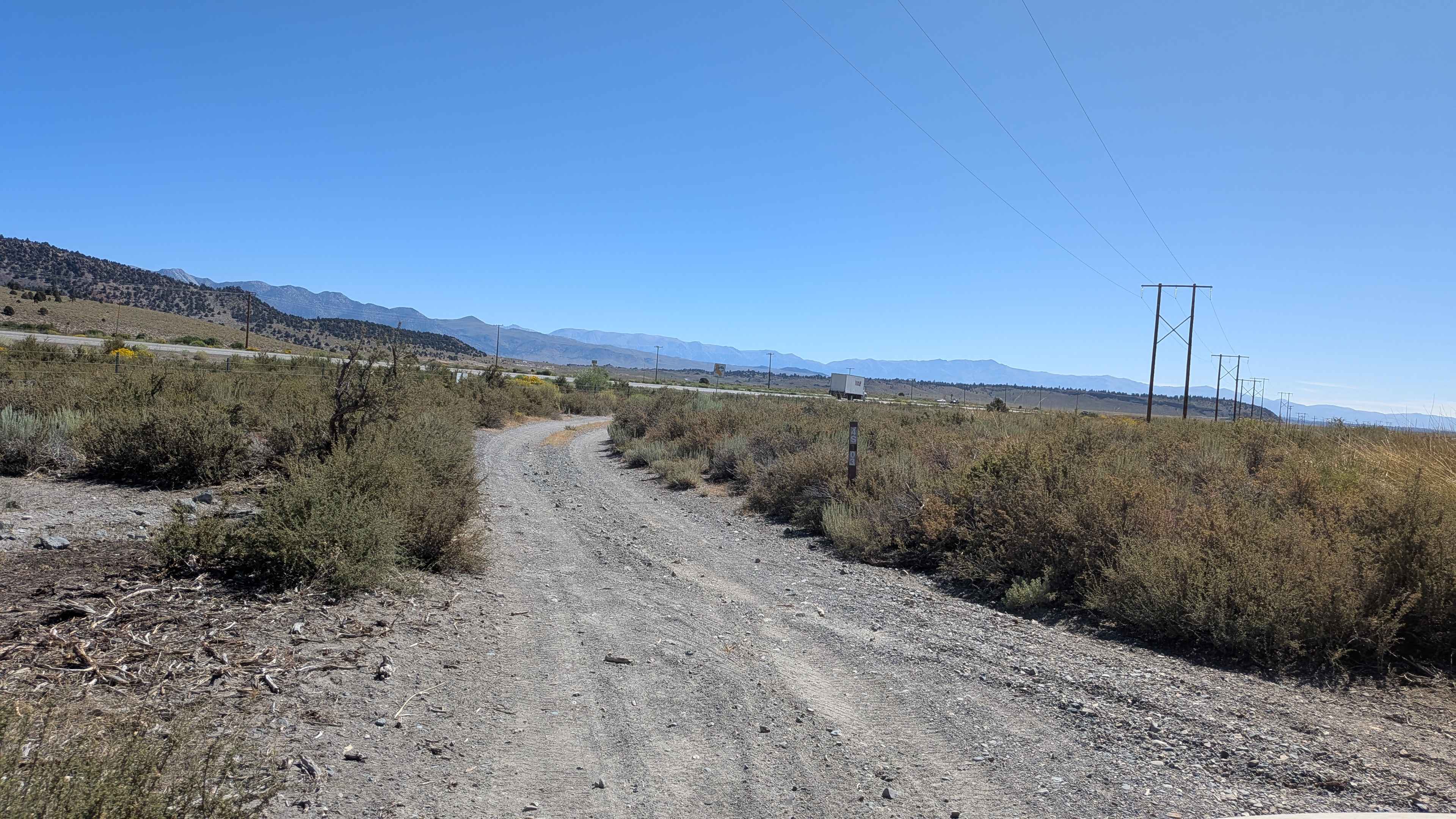
Learn more about Noonchester Mine
Noonchester Mine
Total Miles
2.6
Tech Rating
Easy
Best Time
Spring, Summer, Fall
Learn more about Norris Lake - FS 5S086
Norris Lake - FS 5S086
Total Miles
1.6
Tech Rating
Easy
Best Time
Summer, Fall
Learn more about North Alabama Hills Vista Trail
North Alabama Hills Vista Trail
Total Miles
5.2
Tech Rating
Easy
Best Time
Fall, Spring, Summer
Learn more about North Barstow to The Husky Memorial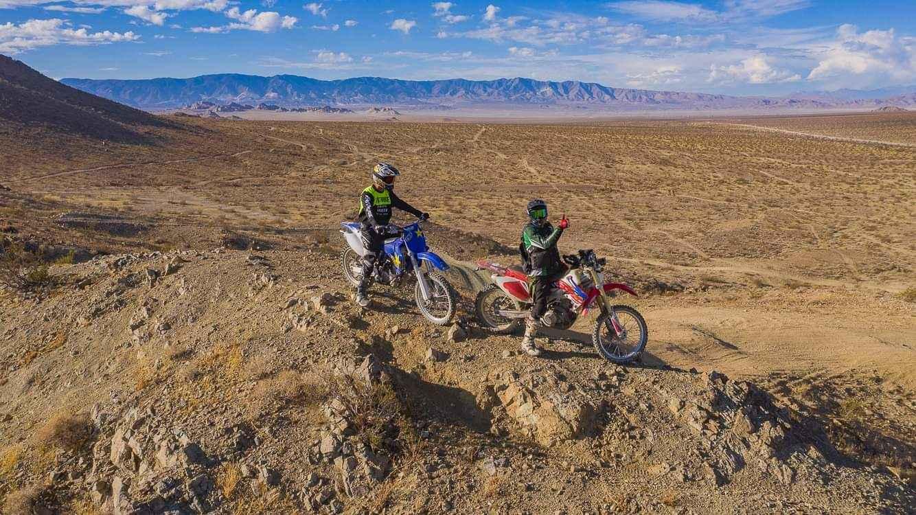
North Barstow to The Husky Memorial
Total Miles
58.9
Tech Rating
Difficult
Best Time
Spring
Learn more about North Canyon / Baxter Road - FS 1S15A
North Canyon / Baxter Road - FS 1S15A
Total Miles
4.6
Tech Rating
Easy
Best Time
Fall, Summer, Spring
Learn more about North Fork Arroyo Salado
North Fork Arroyo Salado
Total Miles
7.5
Tech Rating
Easy
Best Time
Spring, Summer, Fall, Winter
Learn more about North Fork Crossing
North Fork Crossing
Total Miles
4.1
Tech Rating
Moderate
Best Time
Spring, Summer, Fall
Learn more about North Fork Fish Creek Wash
North Fork Fish Creek Wash
Total Miles
3.6
Tech Rating
Moderate
Best Time
Winter, Fall, Spring
Learn more about North Fork Lubken Creek Canyon
North Fork Lubken Creek Canyon
Total Miles
3.6
Tech Rating
Moderate
Best Time
Spring, Fall
Learn more about North Fork Palm Wash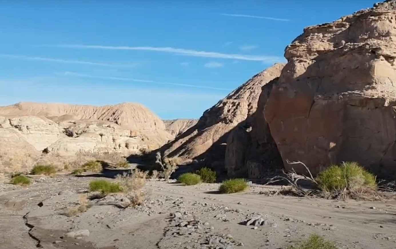
North Fork Palm Wash
Total Miles
2.1
Tech Rating
Easy
Best Time
Spring, Summer, Fall, Winter
Learn more about North Fork San Felipe Wash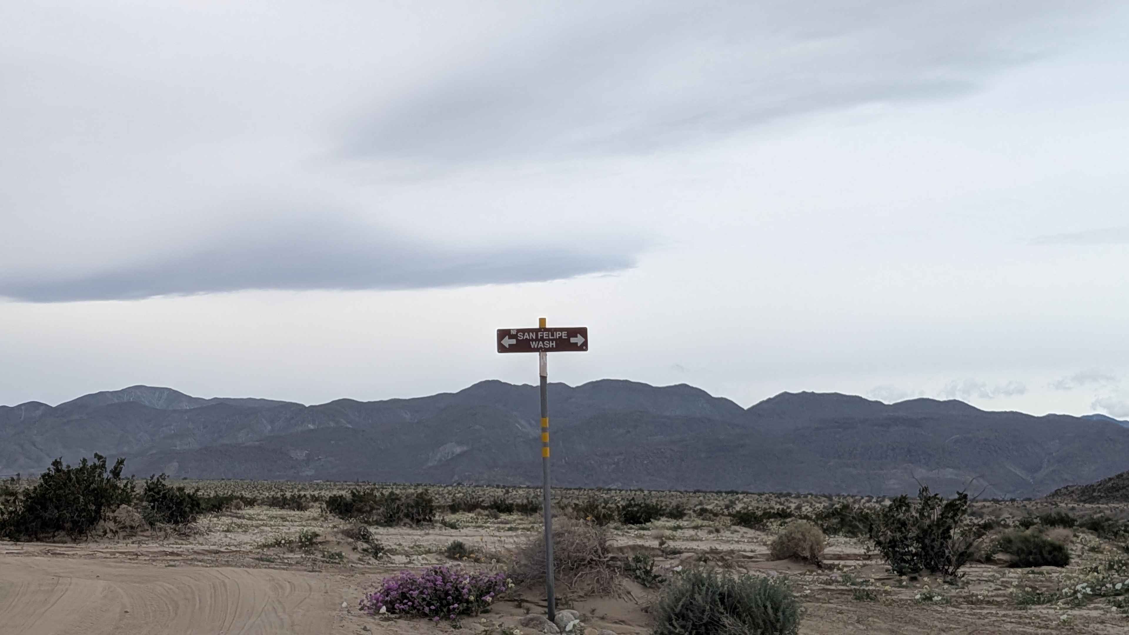
North Fork San Felipe Wash
Total Miles
1.5
Tech Rating
Easy
Best Time
Winter, Fall, Spring
Learn more about North Main Divide Road
North Main Divide Road
Total Miles
12.0
Tech Rating
Easy
Best Time
Spring, Summer, Fall, Winter
Learn more about North Roadrunner Trail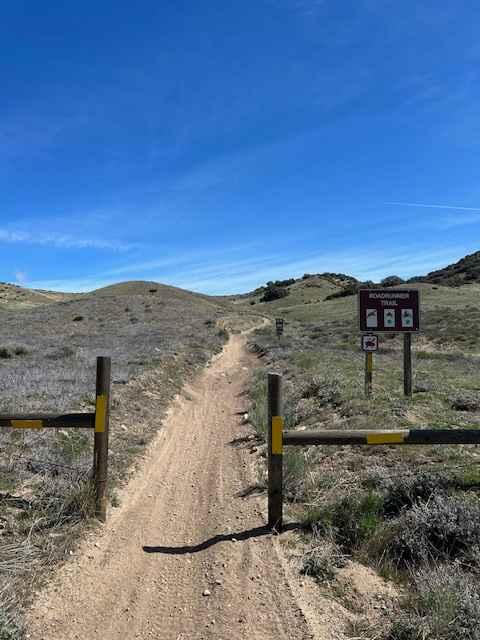
North Roadrunner Trail
Total Miles
1.5
Tech Rating
Easy
Best Time
Spring, Fall, Winter
ATV trails in California


UTV/side-by-side trails in California


Learn more about 3N267 Fenner Saddle (4N12)
3N267 Fenner Saddle (4N12)
Total Miles
3.8
Tech Rating
Difficult
Best Time
Spring, Summer, Fall, Winter

The onX Offroad Difference
onX Offroad combines trail photos, descriptions, difficulty ratings, width restrictions, seasonality, and more in a user-friendly interface. Available on all devices, with offline access and full compatibility with CarPlay and Android Auto. Discover what you’re missing today!