North Main Divide Road
Total Miles
12.0
Technical Rating
Best Time
Spring, Summer, Fall, Winter
Trail Type
Full-Width Road
Accessible By
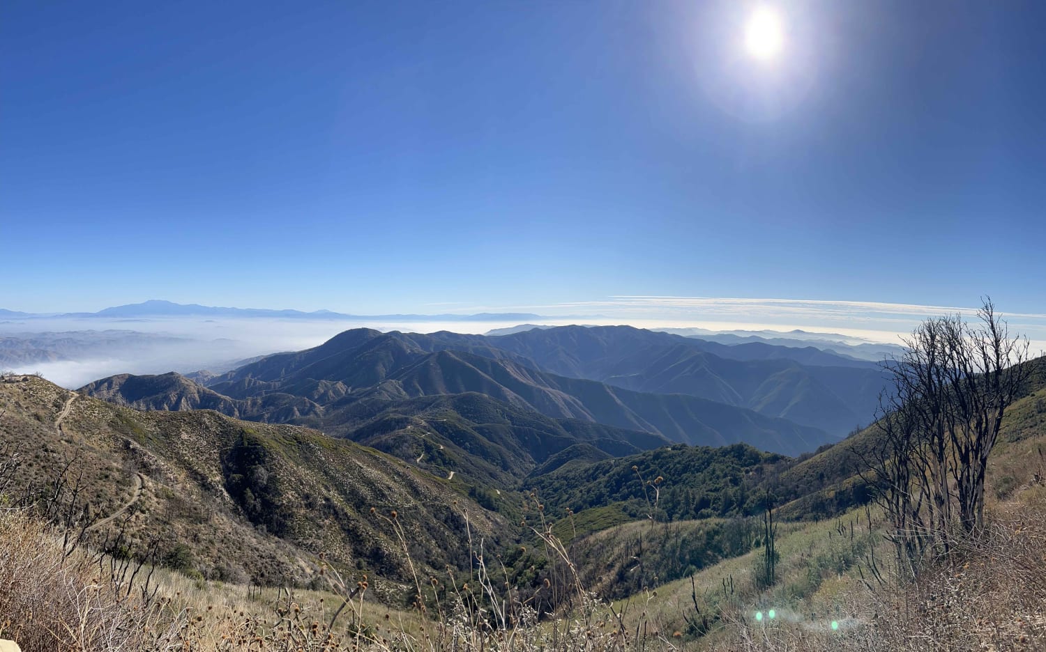
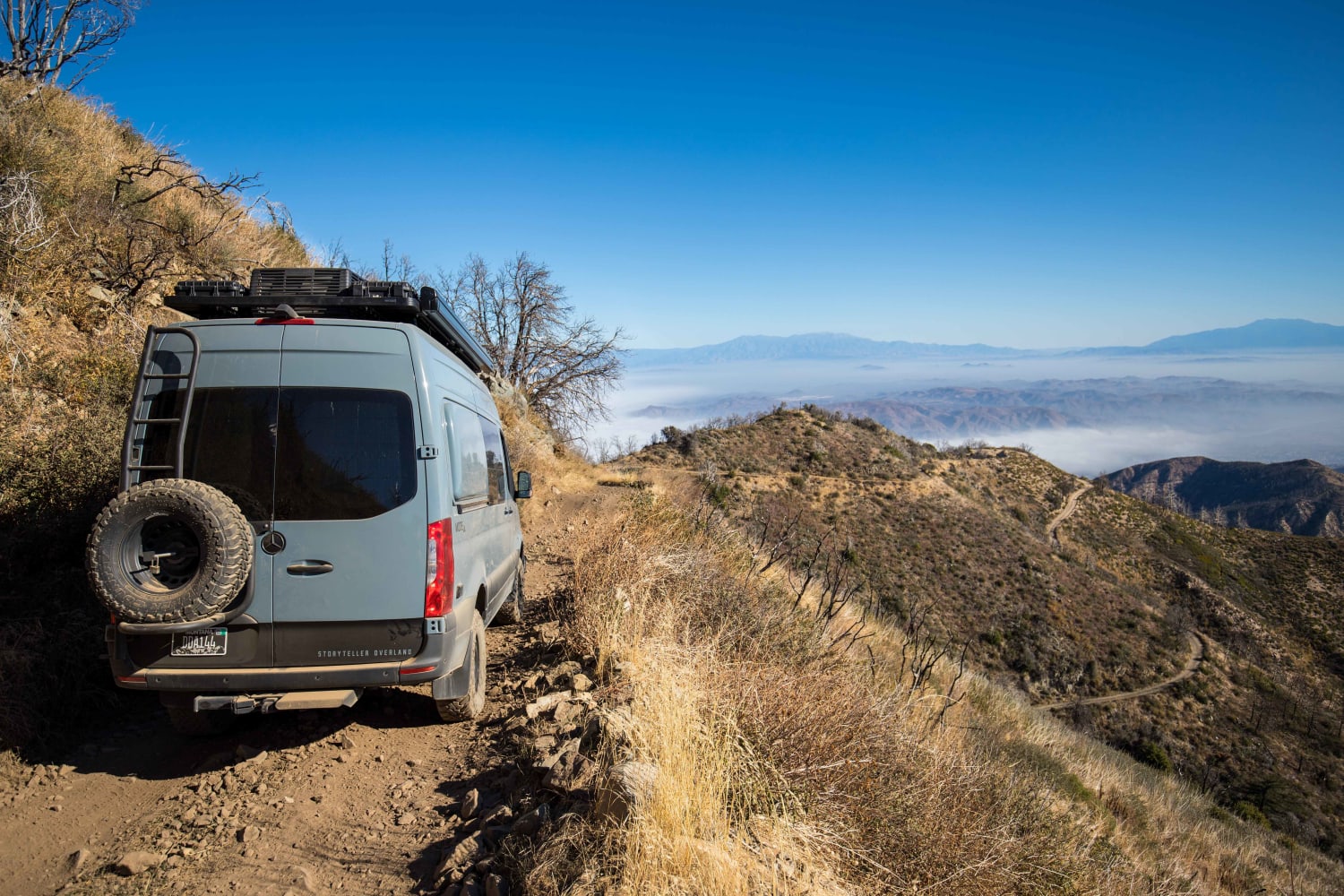
Trail Overview
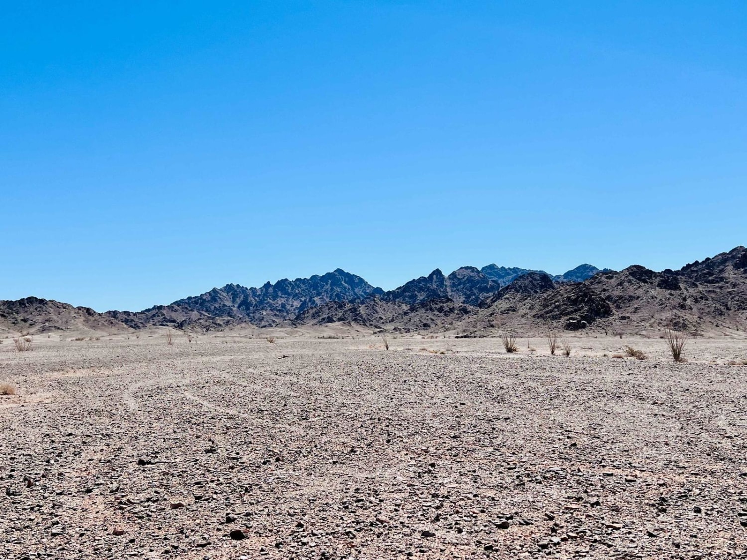
Tucked amidst the hustle and bustle of Southern California's heavily-populated coast is a slice of heaven called the Cleveland National Forest. This mountainous region is undeveloped, save for a few great trails connecting world-class views to cozy campgrounds. The North Main Divide Road enters the forest from the southeast near Lake Elsinore and climbs to one of the region's highlights, Santiago Peak Lookout. The road itself is fairly easy but steep and rutted in places. There is plenty of exposure on the cliff sides. Brush can get thick, leading to pin-striping, and travelers should be aware that trees come down across the trail often in burn areas, so be prepared to clear them. At our time of travel, one section was blocked by a massive tree and required a bypass. The bypass is steep and off-camber, but most stock 4x4s should be able to handle it, if approached with caution. Cell service is decent at the top of the mountain but spotty throughout the rest of the trail. Watch for oncoming traffic on the narrow shelf road and drive with respect and care for others.
Photos of North Main Divide Road
Difficulty
When this trail was recorded, there was one section that was blocked by a massive tree and required a bypass. The bypass is steep and off-camber, but most stock 4x4s should be able to handle it if approached with caution. The road is generally narrow and caution must be used to find places to pass.
History
Santiago Peak lies in Orange County, in the Trabuco Ranger District of the Cleveland National Forest at an elevation of 5,690 feet. The original 70-foot lookout tower was built in 1914, and was removed by the CCC in 1935. A 35-foot tower with a 10-foot cab was built in 1951. The remaining structure is currently surrounded by communications facilities.
Status Reports
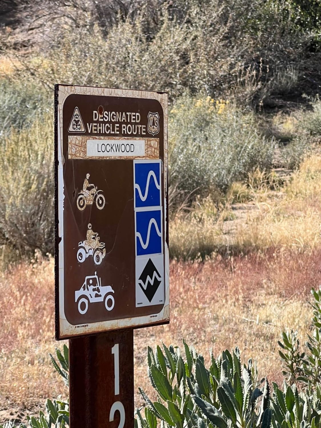
North Main Divide Road can be accessed by the following ride types:
- High-Clearance 4x4
- SUV
- Dirt Bike
North Main Divide Road Map
Popular Trails
Whitmore Gold Mines
Pole Line Kelso Depot to Aiken Mine Road
Lockwood Creek Trail - 20W06
The onX Offroad Difference
onX Offroad combines trail photos, descriptions, difficulty ratings, width restrictions, seasonality, and more in a user-friendly interface. Available on all devices, with offline access and full compatibility with CarPlay and Android Auto. Discover what you’re missing today!