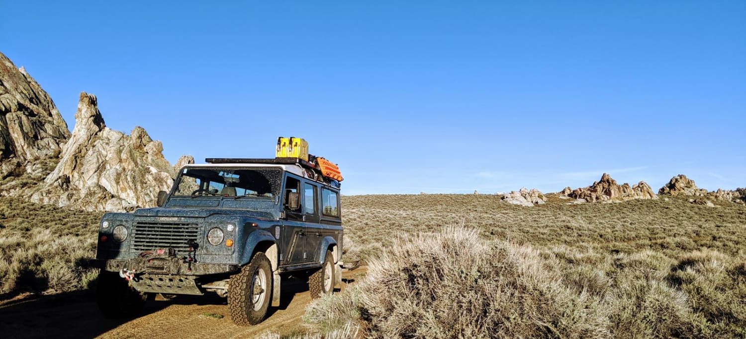
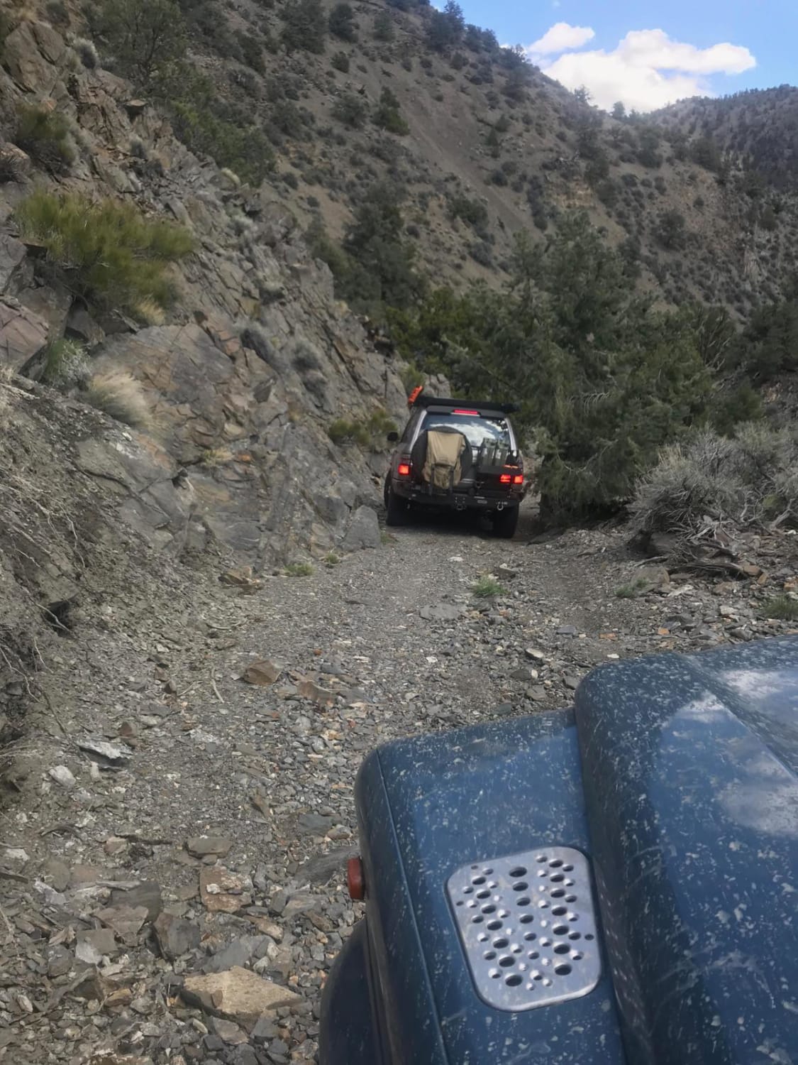
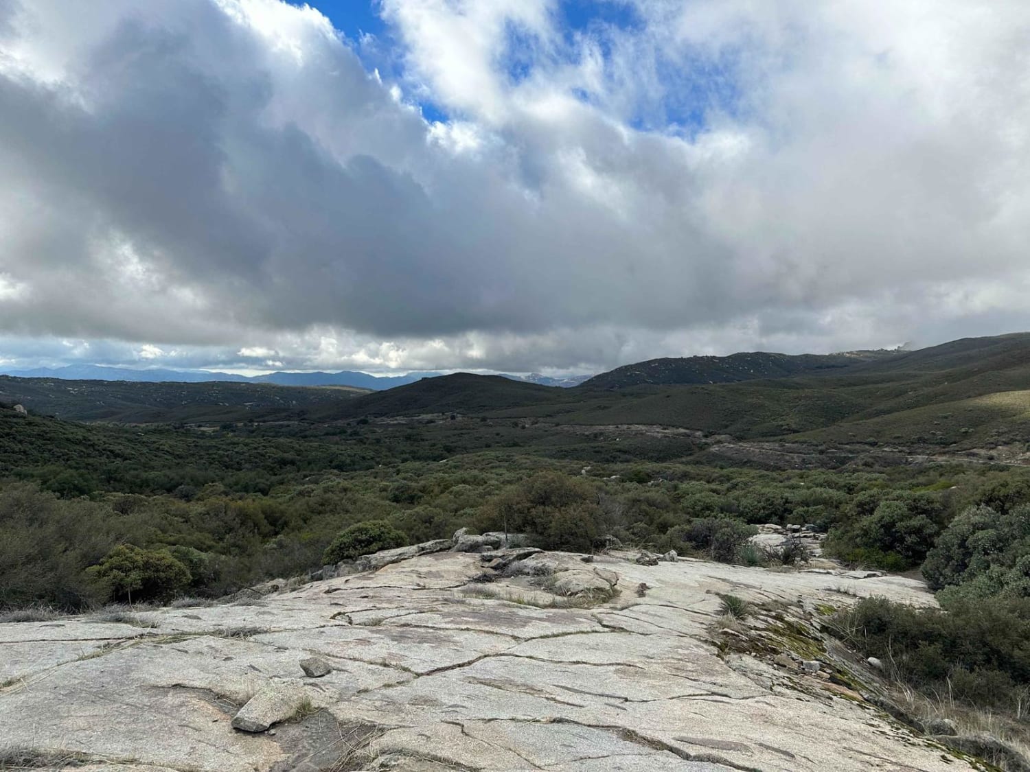
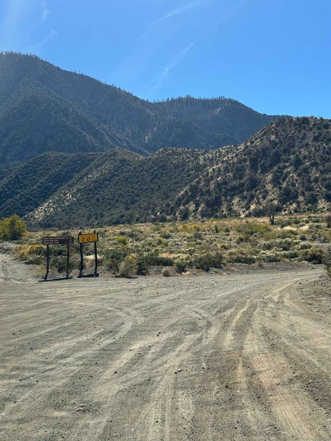
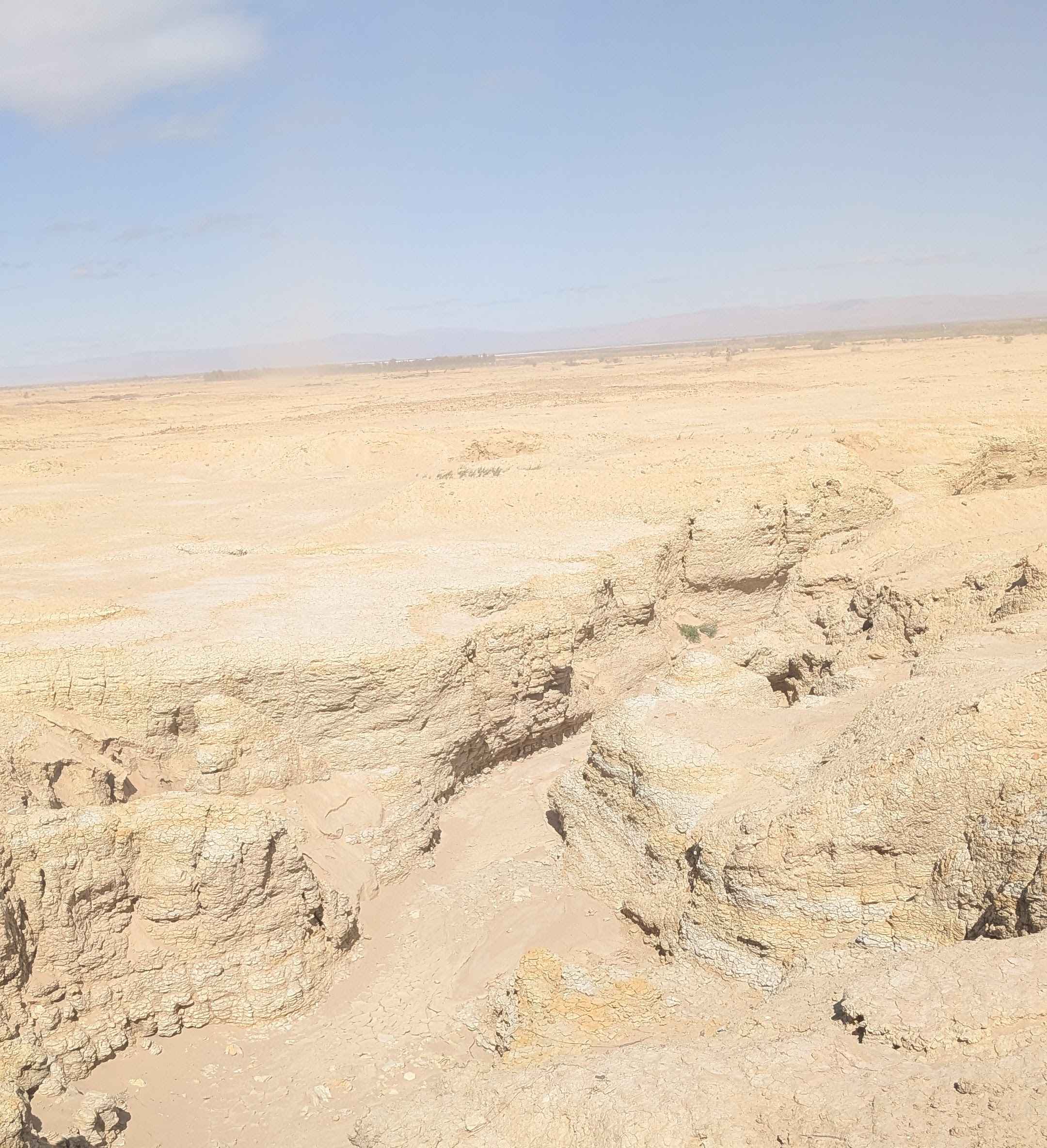
The Rocky Narrows
Total Miles
14.7
Technical Rating
Best Time
Summer, Fall
Trail Type
High-Clearance 4x4 Trail
Accessible By
Trail Overview
A beautiful alternate route in the Inyo Mountains that can be run as a loop with Papoose Flat Road, or as a connecter to the nearby Mazourka Canyon portion of the CABDR trail. The trail alternates between smooth, sandy draws and rough, rocky segments. This area is impassable in winter and spring. It is also difficult during or after heavy rains as the trail uses multiple creek beds. There are scenic views and cell service at Papoose Flats. Stay on the marked trails, respect the road closures in Papoose Flats and tread lightly. The nearest town for tow service and fuel is Big Pine, CA.
Photos of The Rocky Narrows
Difficulty
Most of this trail is easy, but there are a few shale scrambles that would require 4 Low.
Status Reports
The Rocky Narrows can be accessed by the following ride types:
- High-Clearance 4x4
The Rocky Narrows Map
Popular Trails
Wrangler Trail (901)
South Fork Trail
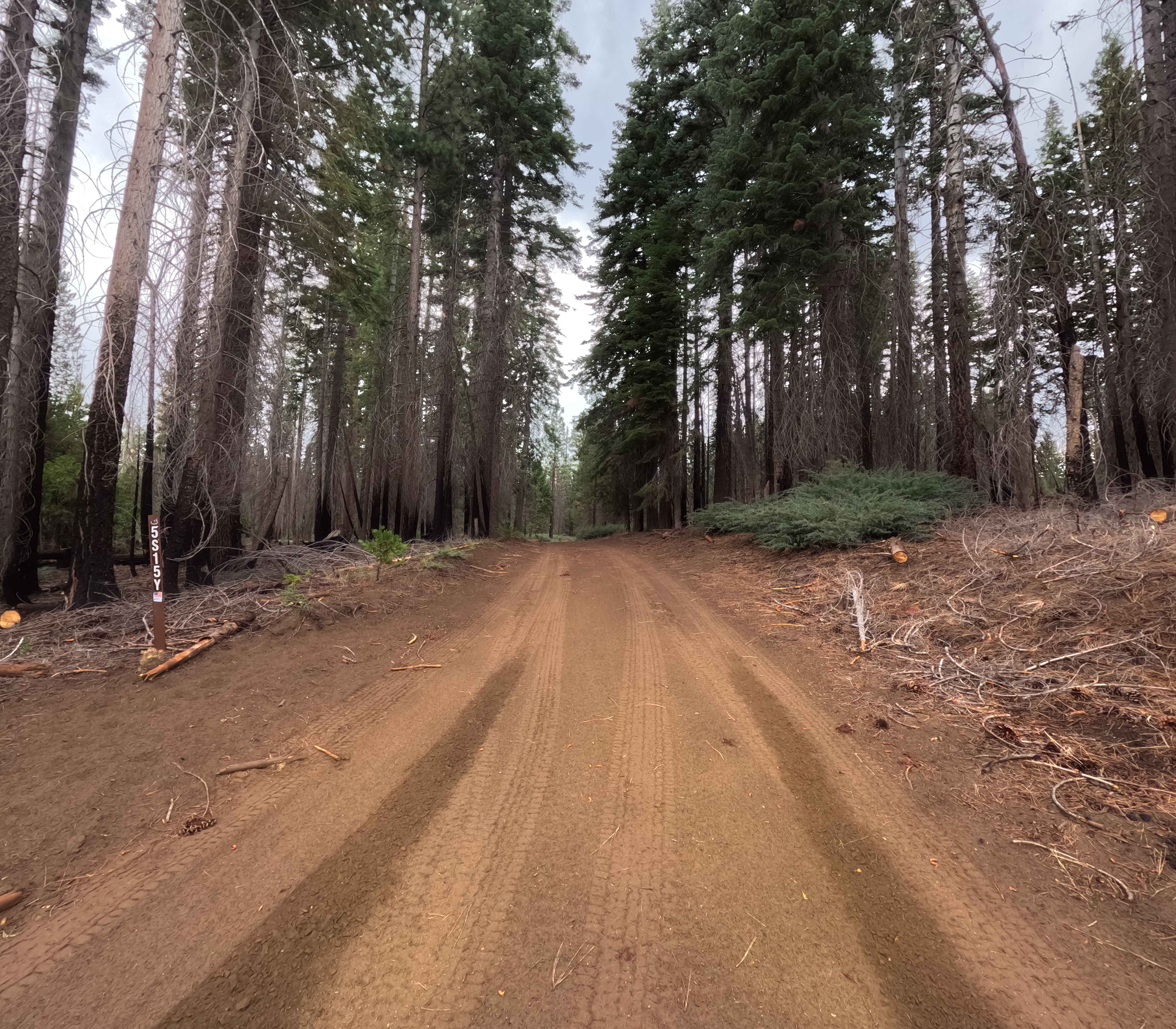
Thin Meadow - FS 5S015Y
The onX Offroad Difference
onX Offroad combines trail photos, descriptions, difficulty ratings, width restrictions, seasonality, and more in a user-friendly interface. Available on all devices, with offline access and full compatibility with CarPlay and Android Auto. Discover what you’re missing today!