Off-Road Trails in California
Discover off-road trails in California
Learn more about Parker Lake Bench
Parker Lake Bench
Total Miles
0.7
Tech Rating
Moderate
Best Time
Fall, Summer, Spring
Learn more about Parker Lake Road - NF1S25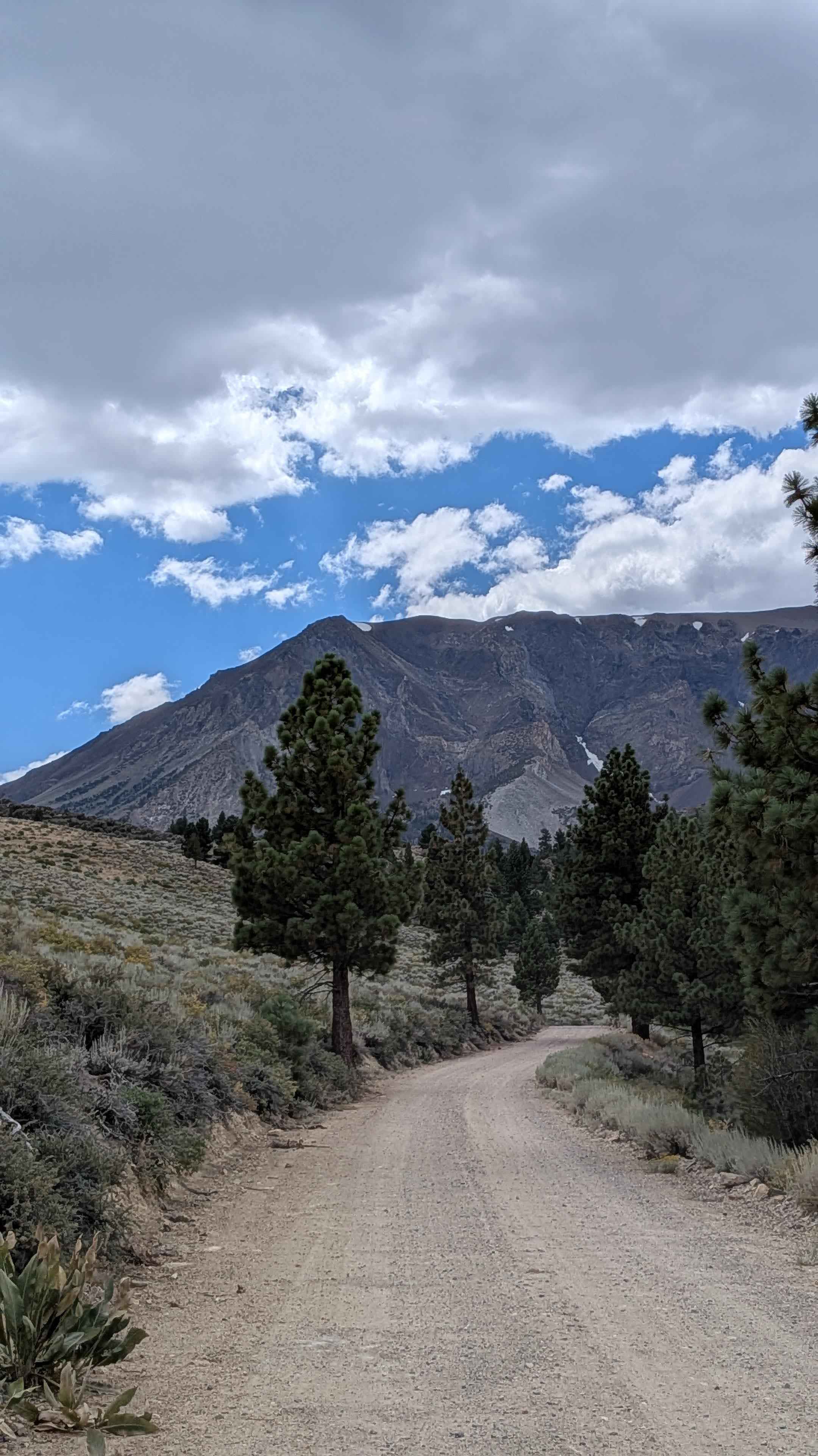
Parker Lake Road - NF1S25
Total Miles
3.1
Tech Rating
Easy
Best Time
Summer, Fall
Learn more about Pasadena Mountain Express - Single Track
Pasadena Mountain Express - Single Track
Total Miles
4.3
Tech Rating
Difficult
Best Time
Spring, Summer, Fall, Winter
Learn more about Pass Spur Road - FS 3108B
Pass Spur Road - FS 3108B
Total Miles
1.2
Tech Rating
Easy
Best Time
Summer, Fall
Learn more about Patriarch Grove
Patriarch Grove
Total Miles
1.0
Tech Rating
Easy
Best Time
Summer, Spring, Fall
Learn more about Patton Lode Mine
Patton Lode Mine
Total Miles
0.9
Tech Rating
Moderate
Best Time
Winter, Fall, Spring
Learn more about Patton's Cabin Road
Patton's Cabin Road
Total Miles
6.6
Tech Rating
Easy
Best Time
Winter, Fall, Spring
Learn more about Pauley Creek
Pauley Creek
Total Miles
1.8
Tech Rating
Moderate
Best Time
Spring, Fall, Summer
Learn more about Peacemaker
Peacemaker
Total Miles
0.6
Tech Rating
Moderate
Best Time
Summer, Spring, Fall, Winter
Learn more about Peavine - FS 33
Peavine - FS 33
Total Miles
9.6
Tech Rating
Easy
Best Time
Spring, Summer, Fall, Winter
Learn more about Phillips Loop
Phillips Loop
Total Miles
4.6
Tech Rating
Moderate
Best Time
Winter, Spring, Summer, Fall
Learn more about Picacho State Park Trail
Picacho State Park Trail
Total Miles
14.7
Tech Rating
Easy
Best Time
Spring, Summer, Fall, Winter
Learn more about Pichacho Peak Circle
Pichacho Peak Circle
Total Miles
12.9
Tech Rating
Moderate
Best Time
Spring, Summer, Fall, Winter
Learn more about Pickett Peak Road 31053
Pickett Peak Road 31053
Total Miles
5.5
Tech Rating
Moderate
Best Time
Summer, Fall
Learn more about Picnic Grounds Road
Picnic Grounds Road
Total Miles
4.2
Tech Rating
Moderate
Best Time
Summer, Fall
Learn more about Pillsbury-Indian Dick Road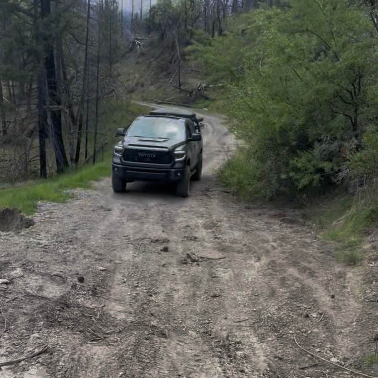
Pillsbury-Indian Dick Road
Total Miles
50.5
Tech Rating
Easy
Best Time
Spring, Summer, Fall
Learn more about Pilot Cutoff - FS 6S063A
Pilot Cutoff - FS 6S063A
Total Miles
0.2
Tech Rating
Easy
Best Time
Spring, Summer, Fall
ATV trails in California


UTV/side-by-side trails in California


Learn more about 3N267 Fenner Saddle (4N12)
3N267 Fenner Saddle (4N12)
Total Miles
3.8
Tech Rating
Difficult
Best Time
Spring, Summer, Fall, Winter

The onX Offroad Difference
onX Offroad combines trail photos, descriptions, difficulty ratings, width restrictions, seasonality, and more in a user-friendly interface. Available on all devices, with offline access and full compatibility with CarPlay and Android Auto. Discover what you’re missing today!