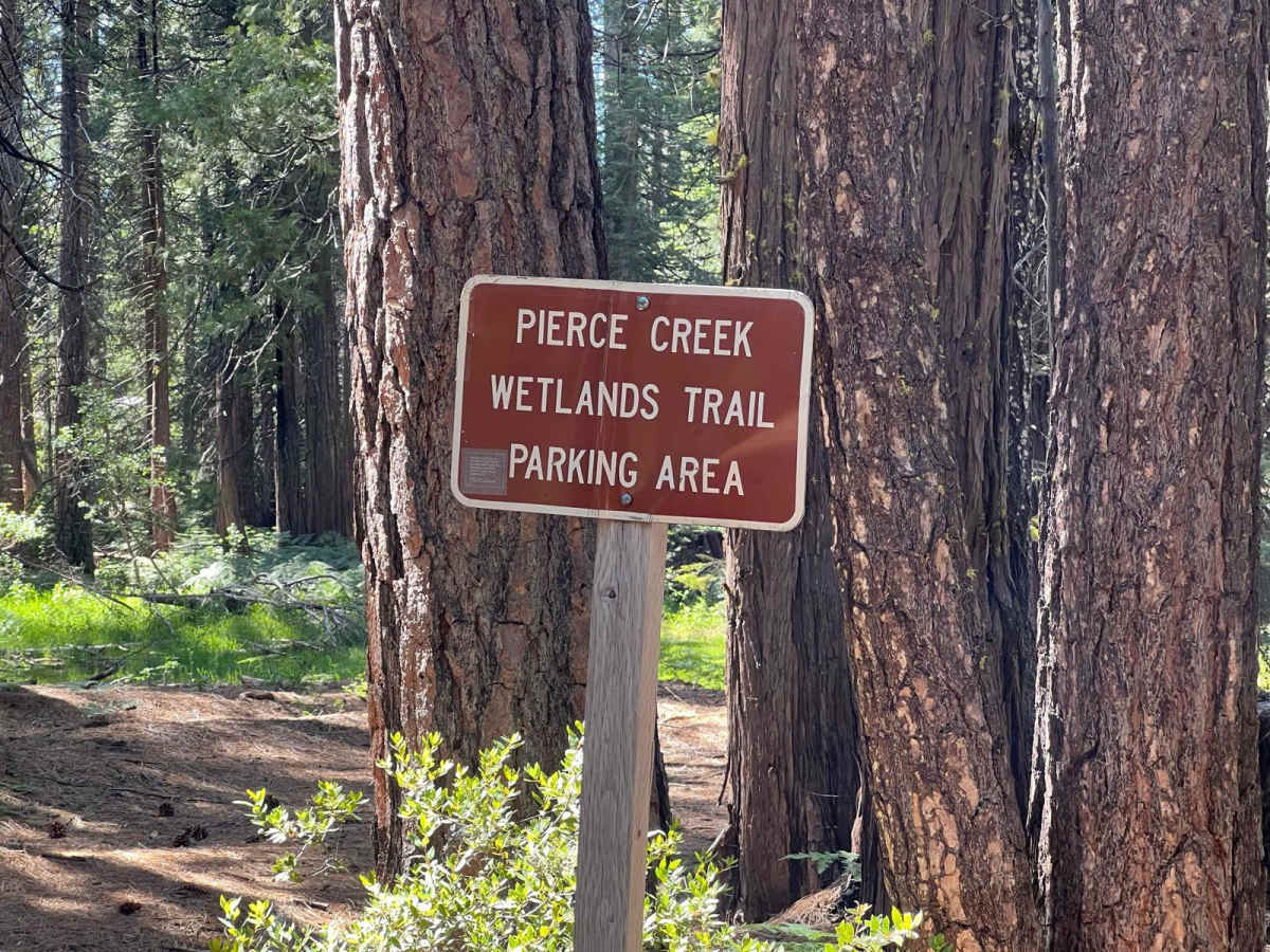
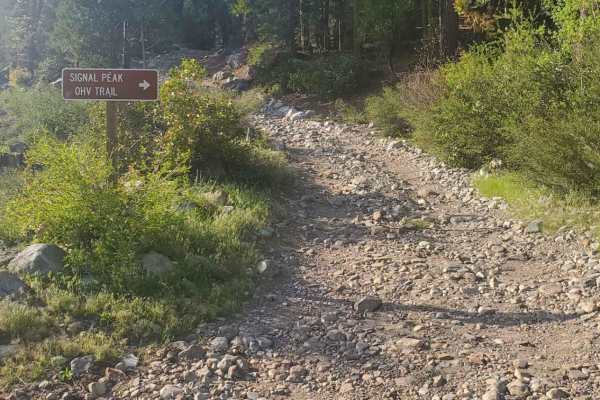
Trail Overview
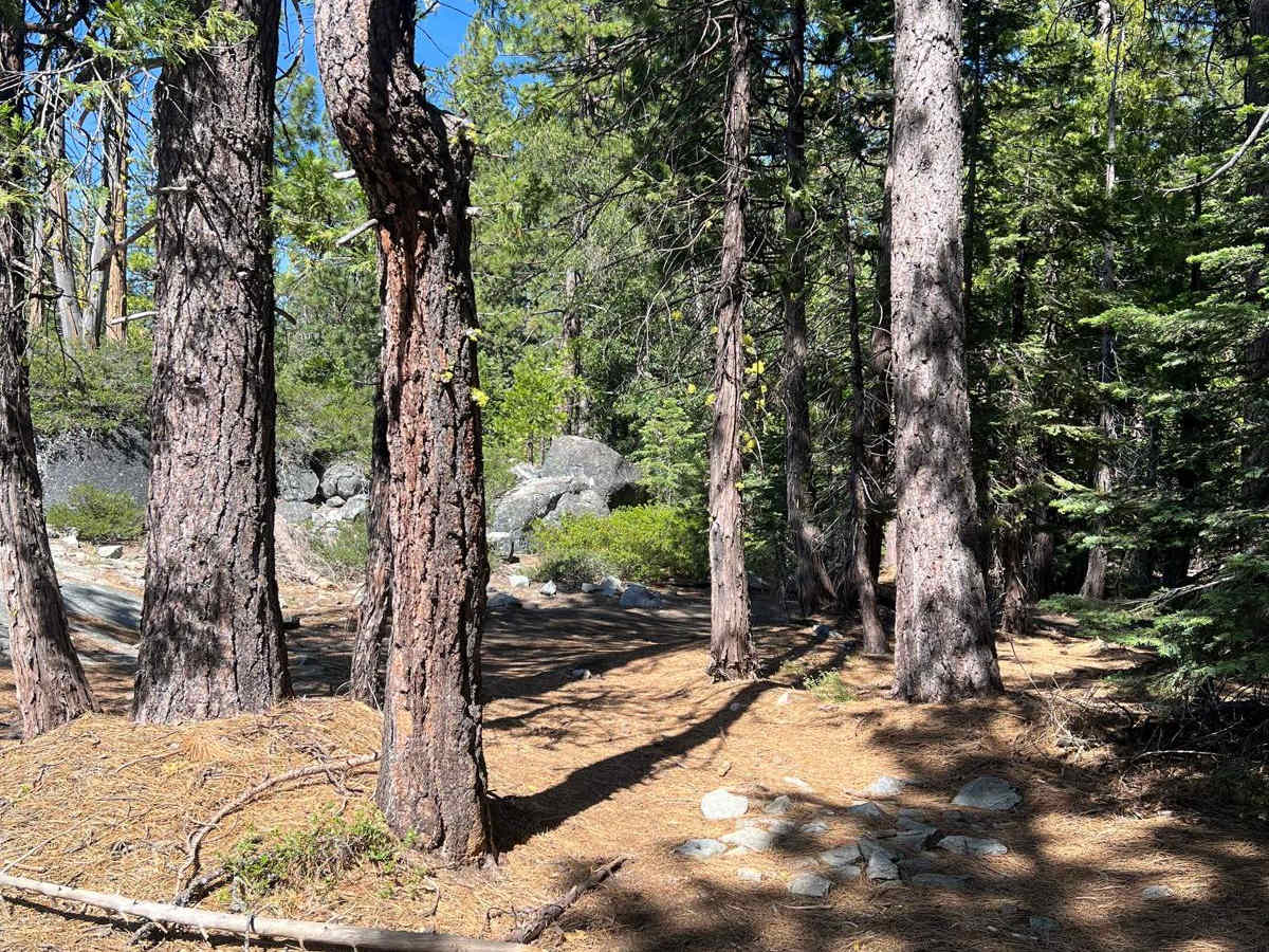
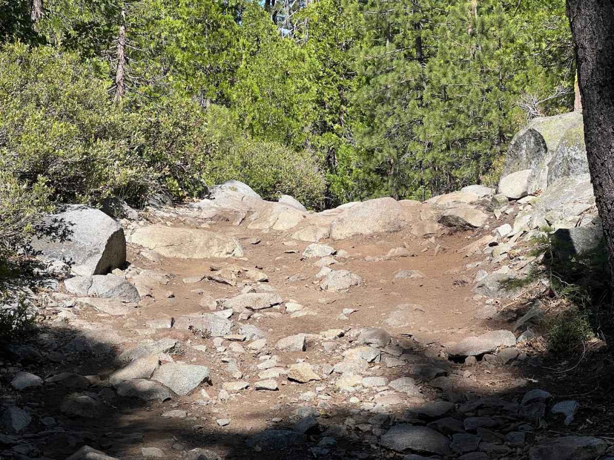
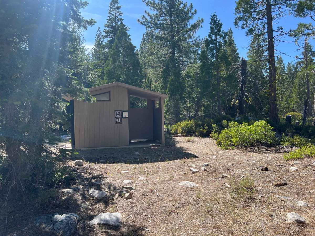
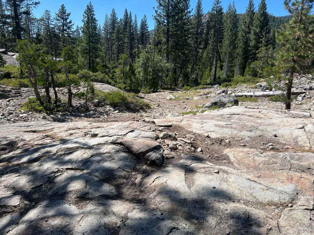
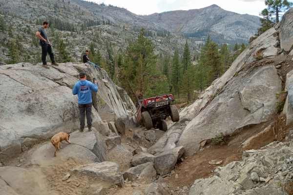
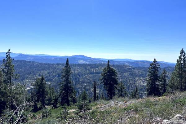
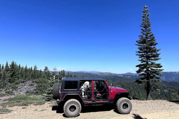
Pierce Loop is a moderately challenging, enjoyable trail that starts approximately 1/2 mile into the infamous Fordyce Trail. The staging area is called Indian Springs, which also accesses Signal Peak and Eagle Lakes trails. This trail is a bit easier than Signal Peak, so it provides a nice option for an easier day of wheeling. After turning onto the trail, the first mile is a descent down a rocky, narrow path that heads towards the south fork of the Yuba River. After crossing the river, the trail winds its way through thick forest with tight turns and then drops down a boulder-strewn section, which is moderately challenging. This section gives the trail its rating. Shortly thereafter, the trail enters a granite slab area with beautiful scenery, and then eventually recrosses the river. The loop can be run in either direction, and during spring runoff, the river is impassable. There are mild to moderate obstacles along the length of the trail, and ample camping options. There are two official Forest Service campgrounds;the one closer to the river has nicer spots. There are also other remote camping options outside of the official campgrounds. This trail will be easier to run with at least 33-inch tires and a lift, and lockers are helpful but not necessary. This trail is also best suited for shorter wheel-based vehicles, especially after crossing the river, as some of the turns are quite narrow. This is also a popular area during holidays and weekends in the summer, so prepare accordingly.
Difficulty
The trail consists of roots, rocks, tight turns, water crossings, ascents/descents, granite slab, and mild to moderate bouldering.