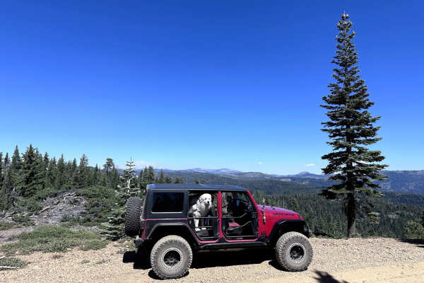
Trail Overview
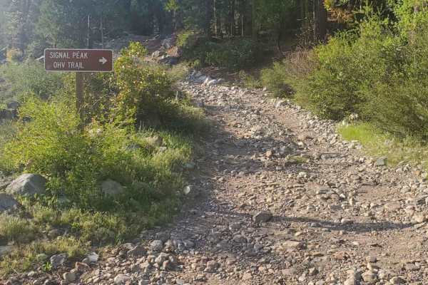
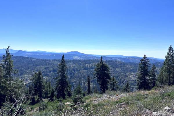
The Fordyce Creek Trail is one of Northern California's premier rock crawling routes, often regarded as more technically demanding and intense than the famous Rubicon Trail. Located in the Tahoe National Forest west of Truckee, this approximately 12-mile expert-level OHV trail begins off Interstate 80 (via Eagle Lakes Road exit) and ascends into the high Sierra Nevada, closely following Fordyce Creek before ending at scenic Meadow Lake—an alpine gem accessible by easier roads without needing 4x4.
Starting from the Highway 80 side, the trail eases you in with moderate terrain before progressively ramping up in difficulty—a gradual escalation that serves as a clear warning: if an obstacle feels too challenging early on, it's only going to get tougher ahead, making it a smart spot to turn around.
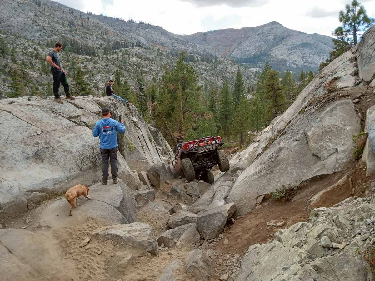
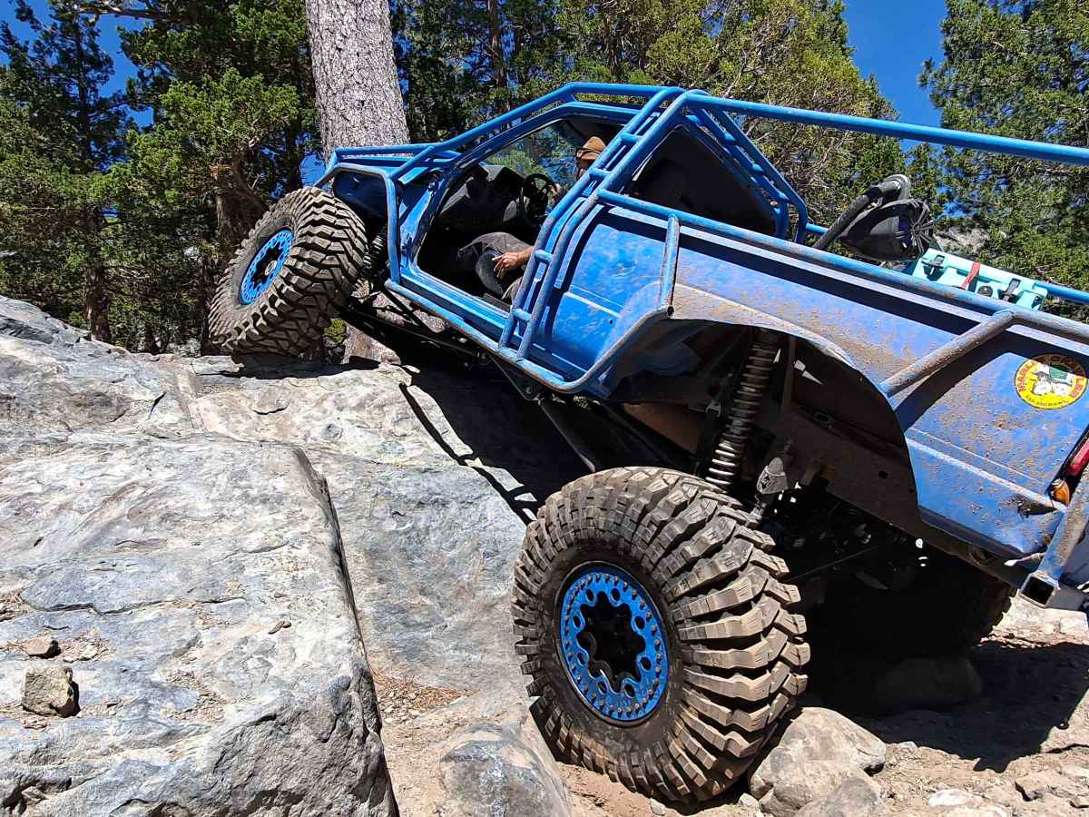
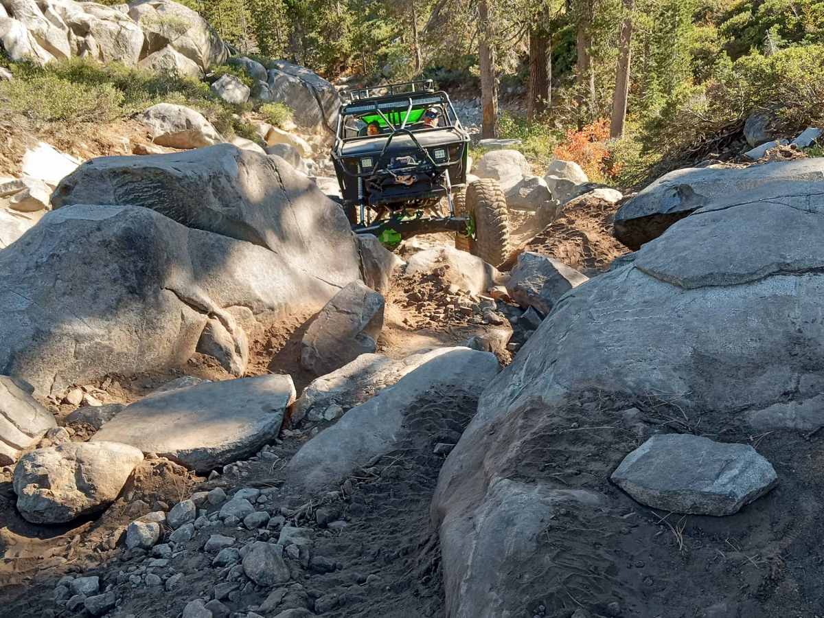
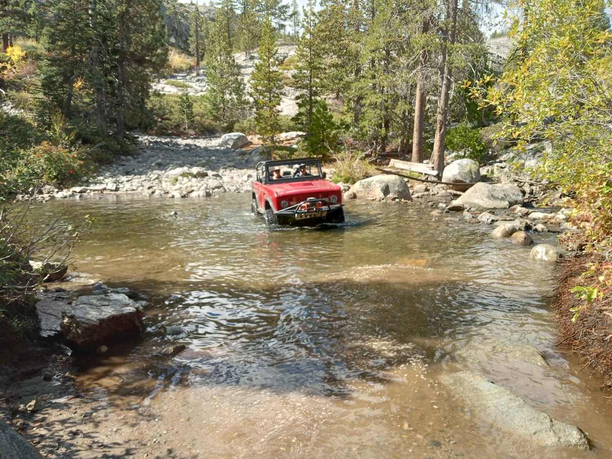
This is hardcore Sierra rock crawling at its finest, featuring miles of tight, precise maneuvers over large, steep, jagged granite boulders and awkwardly positioned obstacles. Highlights include notorious "Winch Hills" and "River Crossings."
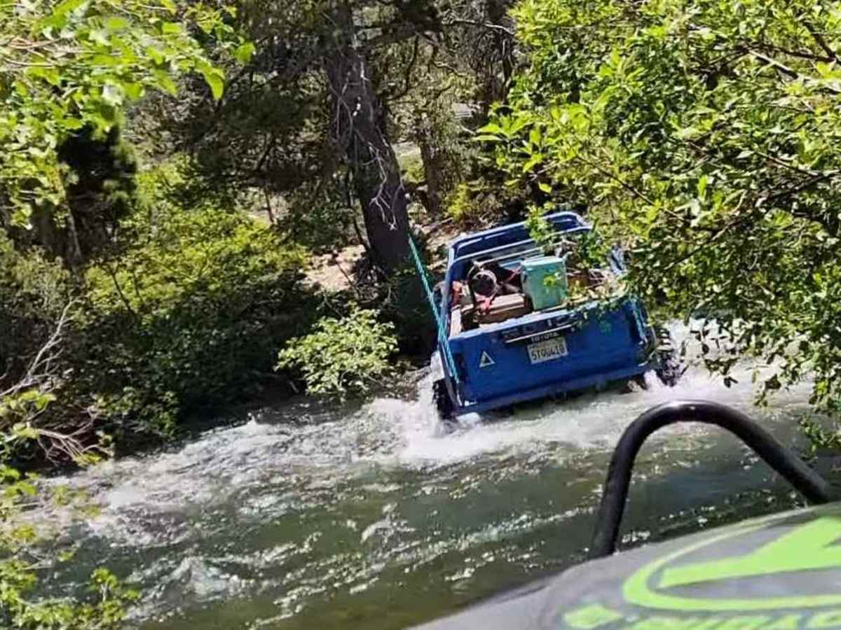
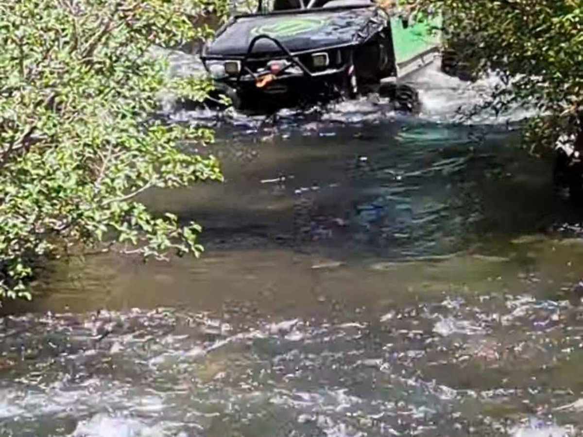
Multiple deep water crossings along Fordyce Creek add serious risk—the creek's flow is controlled by PG&E upstream, and levels can rise suddenly without warning, potentially stranding vehicles. Always check real-time conditions on dreamflows.com (gauge below Fordyce Dam). Most wheelers aim for under 175 CFS for safer passage, though highly capable rigs might push to 300 CFS—anything higher is extremely hazardous.
The best low-water window is typically late September until the first snowfall. This trail is home to the annual Sierra Trek event (hosted by the California Four Wheel Drive Association, usually in August), where flows are reduced for the run and support is provided—but outside the event, you're on your own.
Minimum: 35" tires, front and rear lockers, winch, and strong armor. Larger tires (37"+), dual lockers, and low-range gearing are highly recommended.
Run with multiple well-equipped rigs—never solo. Expect frequent mechanical breakdowns, body damage, or even rollovers on aggressively modified vehicles.
Along the way, you'll spot cool remnants of old mining operations, adding historical charm to the rugged adventure.
History
The trail's history dates back to the Gold Rush days. There is a ton of history left on the trail and more to be found at Meadow Lake.