Off-Road Trails in California
Discover off-road trails in California
Learn more about Plain - FS 26E211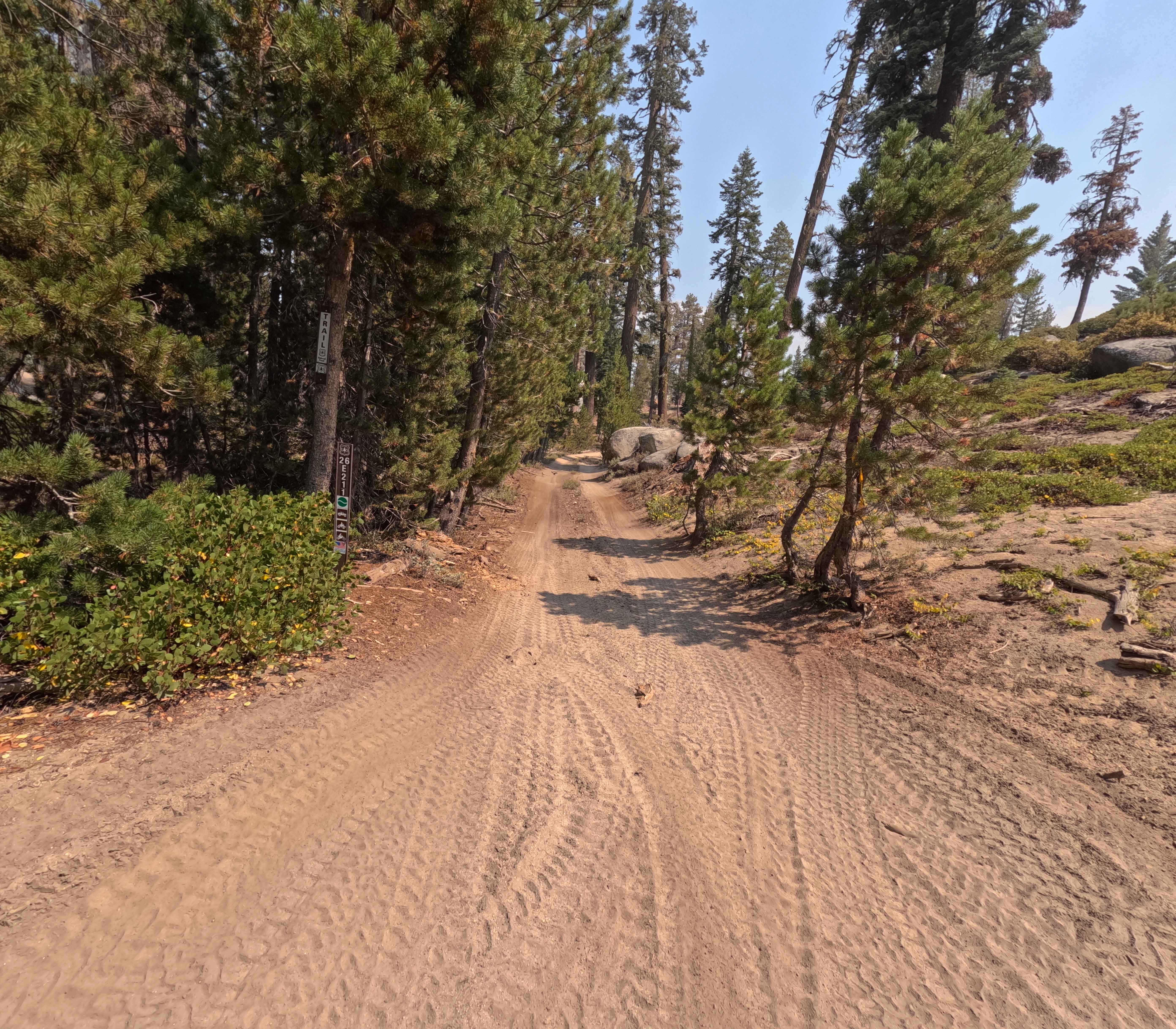
Plain - FS 26E211
Total Miles
1.3
Tech Rating
Easy
Best Time
Summer, Fall
Learn more about Pleasant Canyon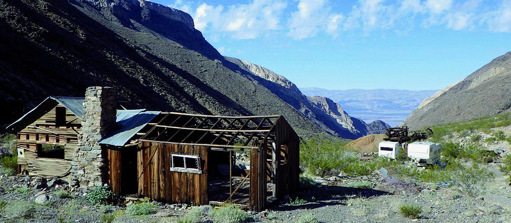
Pleasant Canyon
Total Miles
10.0
Tech Rating
Moderate
Best Time
Fall, Winter, Spring
Learn more about Plimco Mine Road at Spade Way
Plimco Mine Road at Spade Way
Total Miles
4.7
Tech Rating
Moderate
Best Time
Summer, Fall
Learn more about Pole Line Cutoff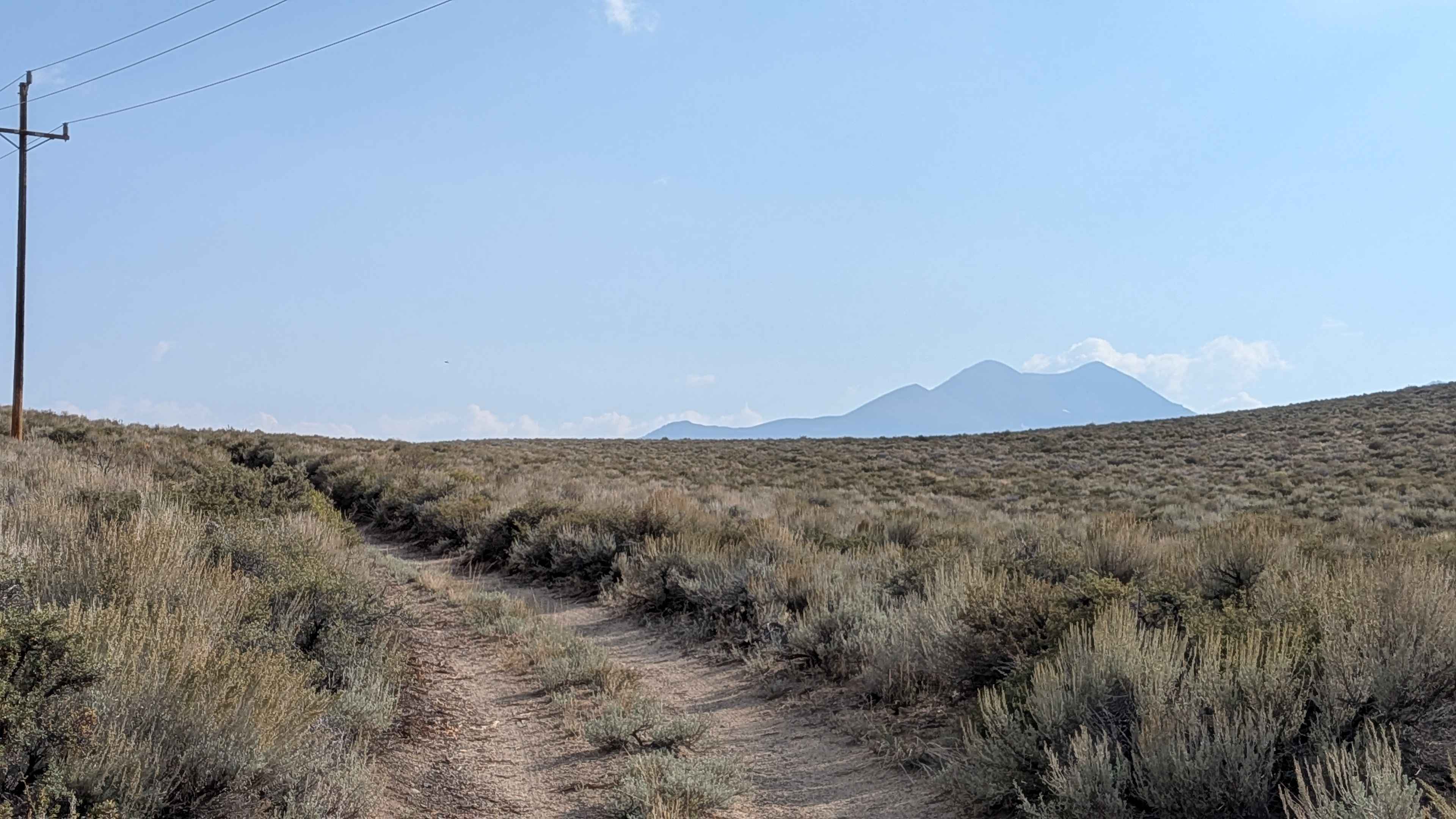
Pole Line Cutoff
Total Miles
1.7
Tech Rating
Easy
Best Time
Fall, Summer, Spring
Learn more about Pole Line Kelso Depot to Aiken Mine Road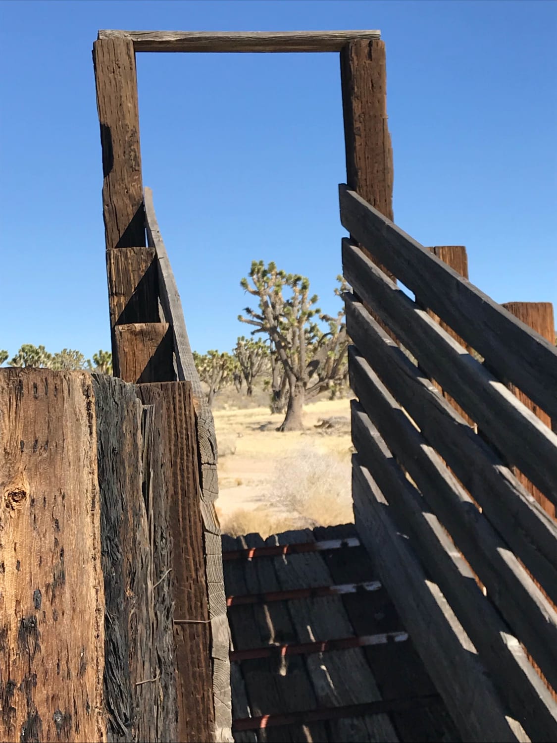
Pole Line Kelso Depot to Aiken Mine Road
Total Miles
18.5
Tech Rating
Easy
Best Time
Spring, Summer, Fall, Winter
Learn more about Pole Line Road North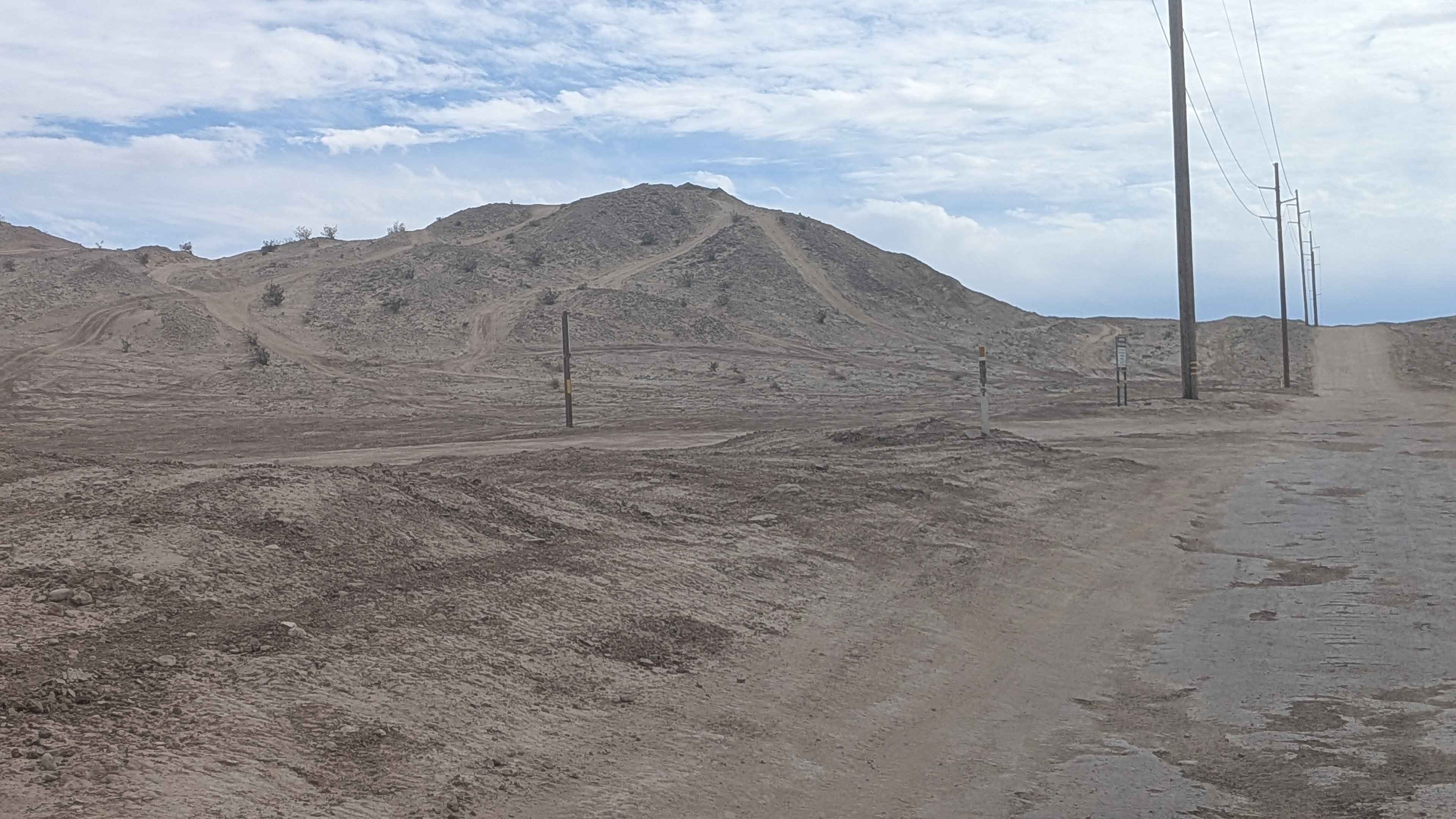
Pole Line Road North
Total Miles
4.2
Tech Rating
Easy
Best Time
Winter, Fall, Spring
Learn more about Pole Line South
Pole Line South
Total Miles
4.3
Tech Rating
Easy
Best Time
Winter, Spring, Fall
Learn more about Pole Road (3V04)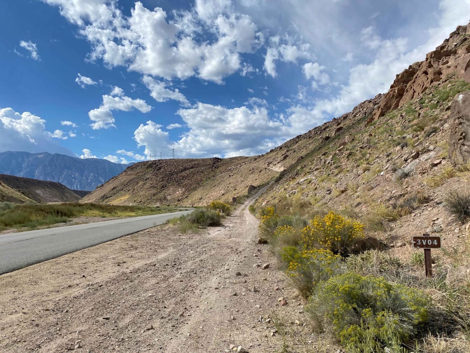
Pole Road (3V04)
Total Miles
7.7
Tech Rating
Easy
Best Time
Spring, Summer, Fall
Learn more about Pole Road (4S04)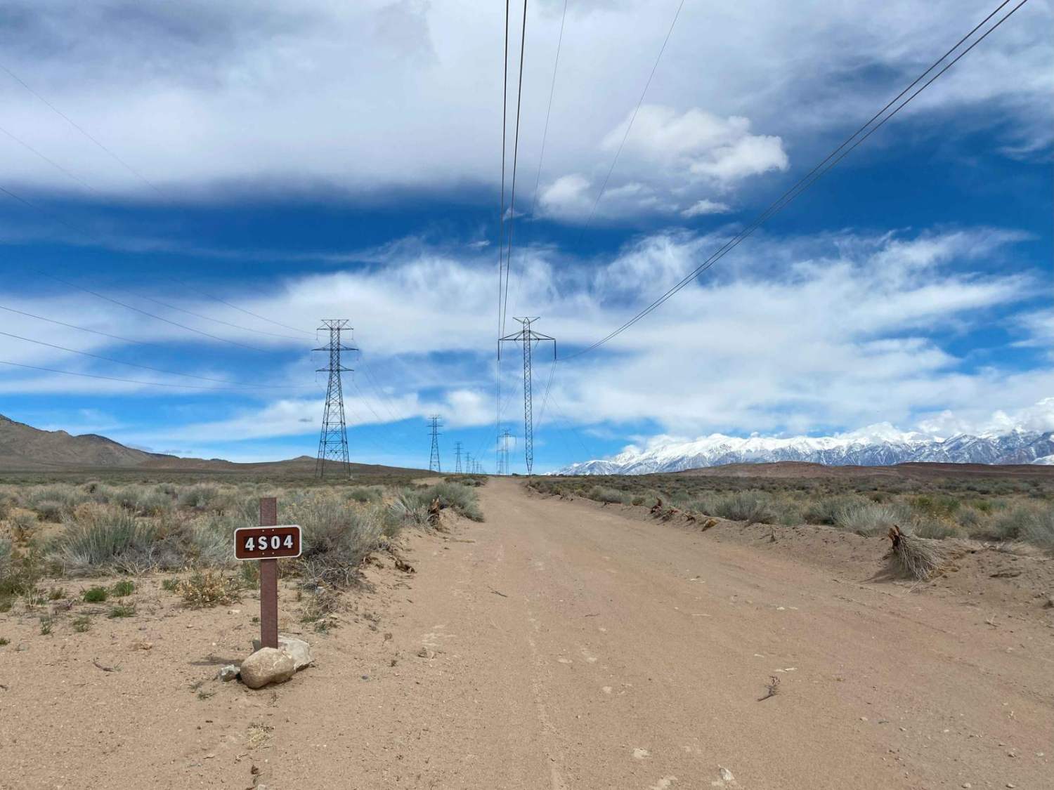
Pole Road (4S04)
Total Miles
7.8
Tech Rating
Easy
Best Time
Spring, Summer
Learn more about Polique Canyon - 2N09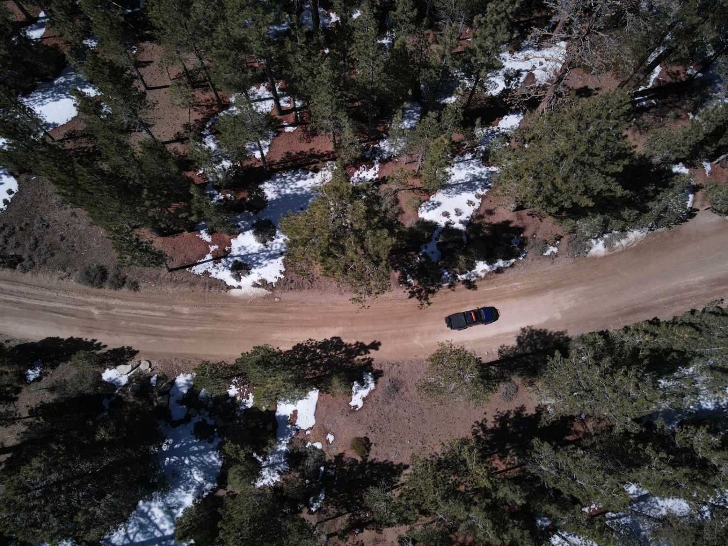
Polique Canyon - 2N09
Total Miles
3.8
Tech Rating
Easy
Best Time
Spring, Summer, Fall
Learn more about Polique Canyon Road
Polique Canyon Road
Total Miles
6.2
Tech Rating
Easy
Best Time
Fall, Summer
Learn more about Ponderosa Fire Line - Lower - FS 6S017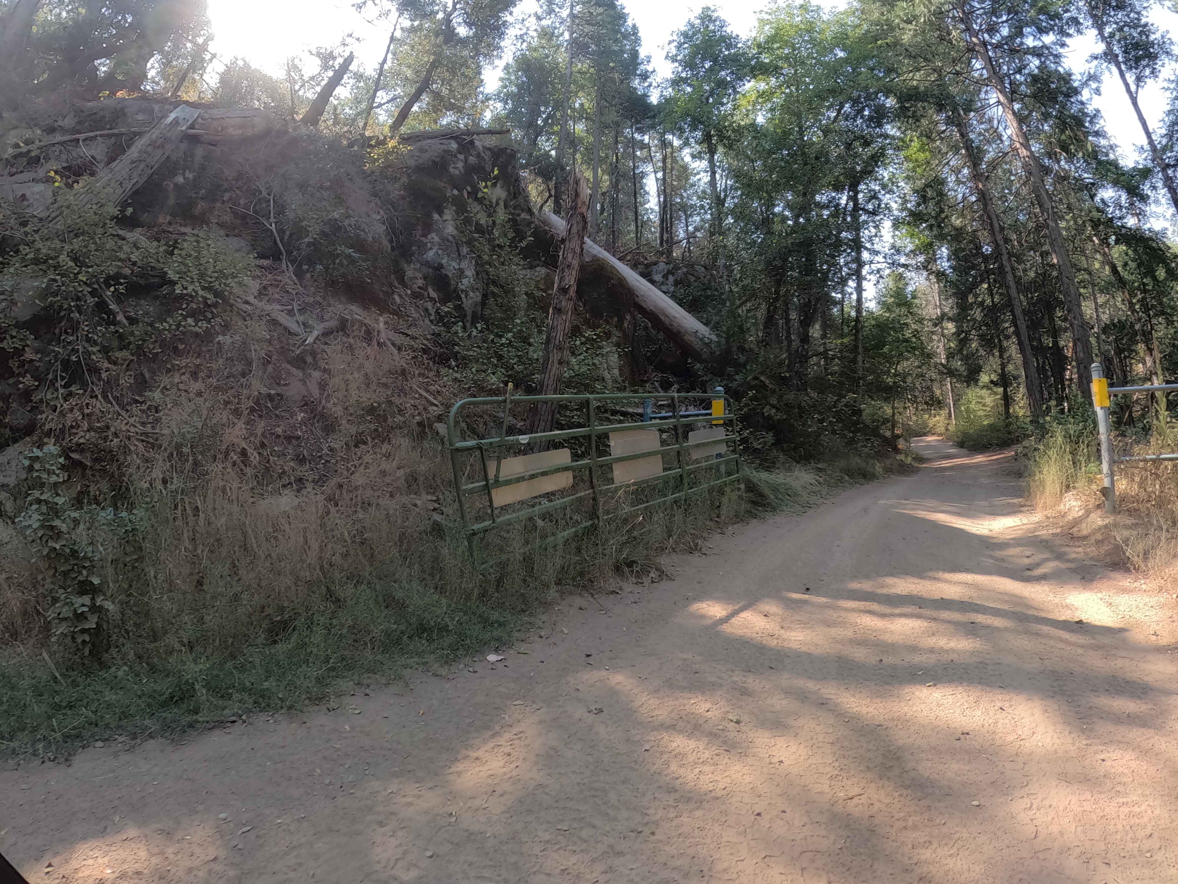
Ponderosa Fire Line - Lower - FS 6S017
Total Miles
2.6
Tech Rating
Easy
Best Time
Spring, Summer, Fall
Learn more about Ponderosa Fire Line - Upper - FS 6S017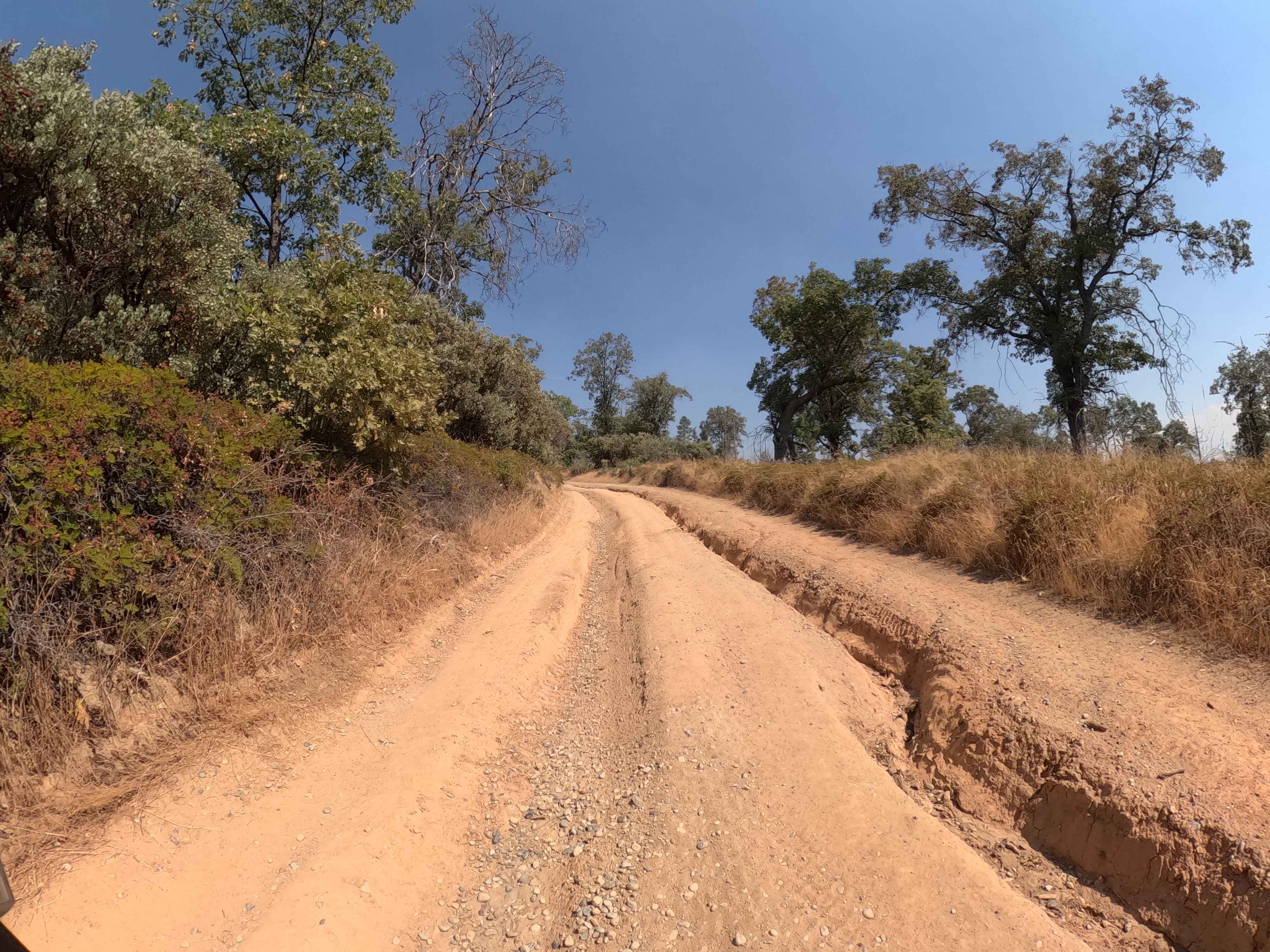
Ponderosa Fire Line - Upper - FS 6S017
Total Miles
1.2
Tech Rating
Easy
Best Time
Spring, Summer, Fall
Learn more about Ponderosa Way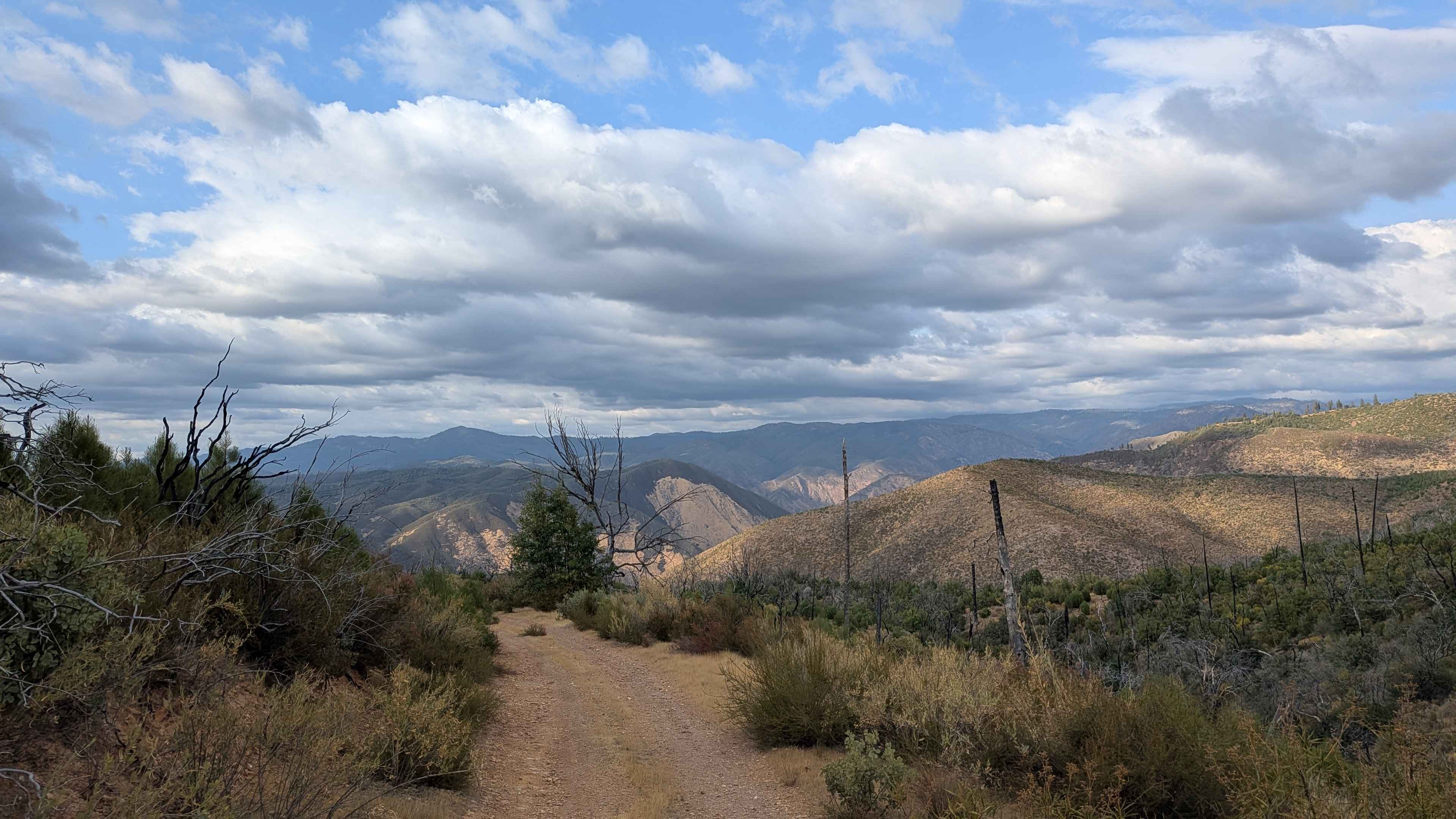
Ponderosa Way
Total Miles
1.5
Tech Rating
Easy
Best Time
Fall, Summer, Spring
Learn more about Ponderosa Way Cutoff
Ponderosa Way Cutoff
Total Miles
2.0
Tech Rating
Easy
Best Time
Fall, Summer, Spring
Learn more about Ponderosa Way North - FS 3S02
Ponderosa Way North - FS 3S02
Total Miles
8.4
Tech Rating
Easy
Best Time
Summer, Fall, Spring
Learn more about Portola "P" - NF14M03
Portola "P" - NF14M03
Total Miles
1.4
Tech Rating
Moderate
Best Time
Spring, Summer, Fall
Learn more about Power Line Lip
Power Line Lip
Total Miles
0.6
Tech Rating
Easy
Best Time
Spring, Summer, Fall, Winter
Learn more about Power Line Road NW
Power Line Road NW
Total Miles
3.0
Tech Rating
Moderate
Best Time
Summer, Fall
ATV trails in California


UTV/side-by-side trails in California


Learn more about 3N267 Fenner Saddle (4N12)
3N267 Fenner Saddle (4N12)
Total Miles
3.8
Tech Rating
Difficult
Best Time
Spring, Summer, Fall, Winter

The onX Offroad Difference
onX Offroad combines trail photos, descriptions, difficulty ratings, width restrictions, seasonality, and more in a user-friendly interface. Available on all devices, with offline access and full compatibility with CarPlay and Android Auto. Discover what you’re missing today!