Pole Line South
Total Miles
4.3
Technical Rating
Best Time
Winter, Spring, Fall
Trail Type
Full-Width Road
Accessible By
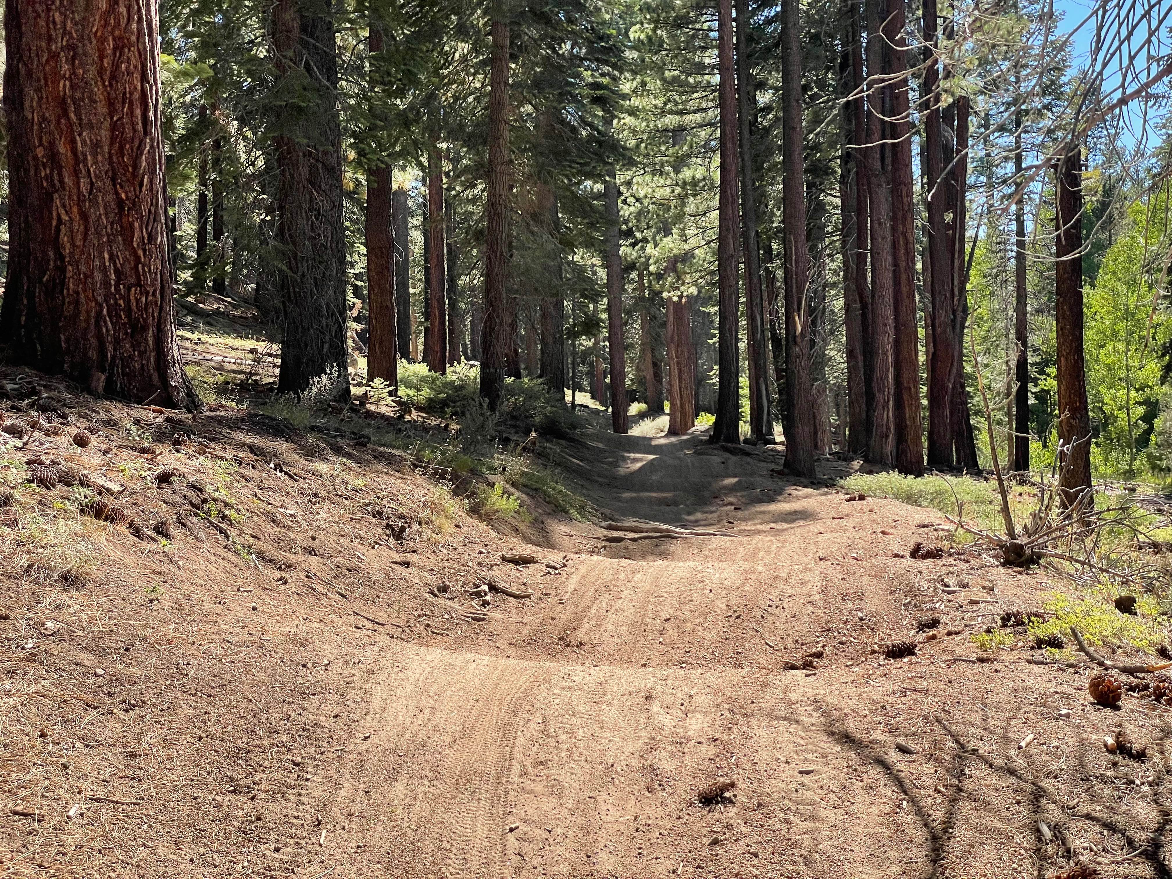
Trail Overview
This trail starts at Highway 86 and heads north, serving as a main artery to connect people to the Ocotillo Wells SVRA. The route follows an electrical pole line for easy reference and navigation. The trail is made of packed sand and winds up and down many hills, creating an undulating route. There are lots of dispersed camping opportunities and access to many trails along the way, making this an important hub for the area. This area used to be part of an oil boom where Texaco was a huge investor, adding historical context to the landscape. As you go further north, you'll encounter lots of softer sand, washboards, and whoops that increase in frequency and intensity.
Photos of Pole Line South


Difficulty
This is an easy trail overall, especially in the southern sections with packed sand. The trail winding up and down many hills adds elevation changes, but they're gradual and straightforward. As you go north, the softer sand, washboards, and whoops increase difficulty slightly but the trail remains accessible. The electrical poles provide excellent navigation landmarks. This main artery is designed to be accessible for connecting to the SVRA.
Status Reports
Pole Line South can be accessed by the following ride types:
- High-Clearance 4x4
- SUV
- SxS (60")
- ATV (50")
- Dirt Bike
Pole Line South Map
Popular Trails
Sample Meadow Campground

Cannell Meadow - FS 24S56
Siberia Creek - FS 2N97
The onX Offroad Difference
onX Offroad combines trail photos, descriptions, difficulty ratings, width restrictions, seasonality, and more in a user-friendly interface. Available on all devices, with offline access and full compatibility with CarPlay and Android Auto. Discover what you’re missing today!