Power Line Road NW
Total Miles
3.0
Technical Rating
Best Time
Summer, Fall
Trail Type
High-Clearance 4x4 Trail
Accessible By
Trail Overview
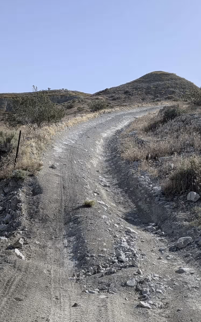
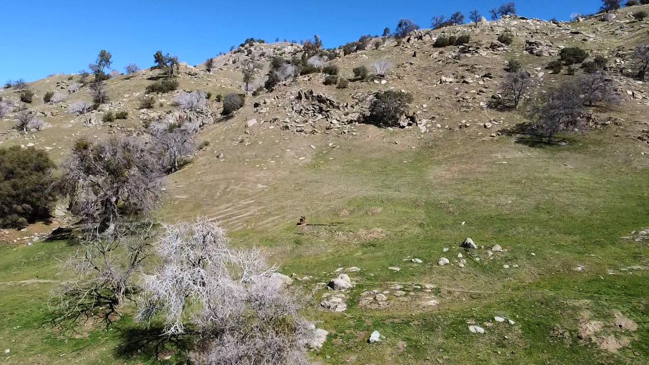
This northwest-to-southeast sandy road connects Ed Powers Road with South Round Valley Road, which eventually leads to Highway 395. It serves as a bypass of Bishop, allowing you to skip paved roads if that's what you're trying to avoid. The route offers views in all directions, including the Eastern Sierras, the White Mountains, and the Coyote Flats area. The trail drops over 100 feet and climbs over 200 feet in just over 3 miles. Many spur trails branch off to explore other areas and provide dispersed camping opportunities. The route passes Browns Mill Pond Campground along the way. Power Line SE is closed to traffic by LAWDP.
Photos of Power Line Road NW
Difficulty
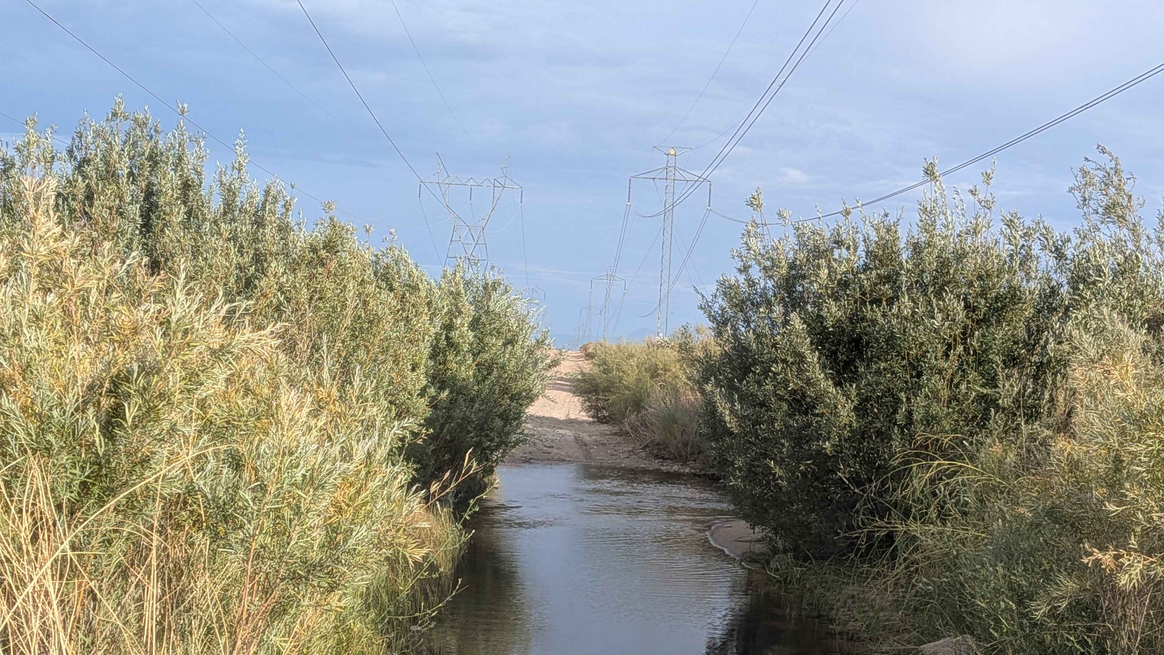
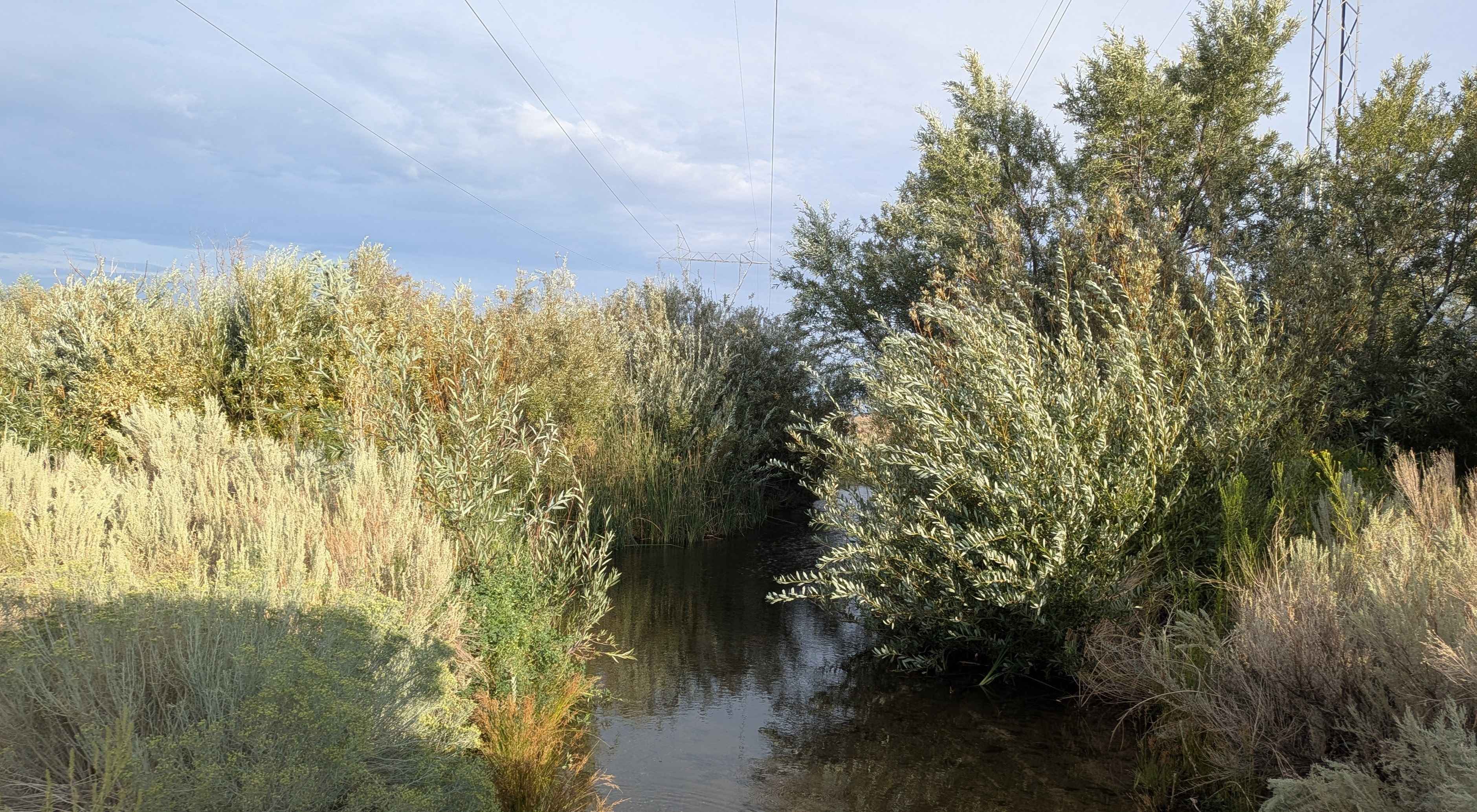
This trail earns a moderate difficulty rating. While the majority of the trail is easy with a rating from 1 to 2, one of the water crossings can be over a foot deep in the summer. Spring can be even deeper. There is a water crossing 2 miles in from South Brown Valley Road, and a second water crossing that is much deeper, located just before Ed Powers Road. These water crossings are the primary challenge affecting the difficulty rating. You can bypass this water crossing by jumping off to Tungsten City Road just before the water crossing.
Status Reports
Power Line Road NW can be accessed by the following ride types:
- High-Clearance 4x4
- SxS (60")
- ATV (50")
- Dirt Bike
Power Line Road NW Map
Popular Trails

Pinyon Mountain Road
The onX Offroad Difference
onX Offroad combines trail photos, descriptions, difficulty ratings, width restrictions, seasonality, and more in a user-friendly interface. Available on all devices, with offline access and full compatibility with CarPlay and Android Auto. Discover what you’re missing today!