Off-Road Trails in California
Discover off-road trails in California
Learn more about North Shore - Easy
North Shore - Easy
Total Miles
1.1
Tech Rating
Easy
Best Time
Spring, Fall
Learn more about North Superstition Mountain - BLM 196 West
North Superstition Mountain - BLM 196 West
Total Miles
3.7
Tech Rating
Easy
Best Time
Fall, Winter, Spring
Learn more about Northern Black Mountain Road
Northern Black Mountain Road
Total Miles
7.2
Tech Rating
Easy
Best Time
Spring, Fall
Learn more about Nutmeg - FS 3S06
Nutmeg - FS 3S06
Total Miles
3.7
Tech Rating
Easy
Best Time
Summer, Fall, Spring
Learn more about Nyo Crater Road
Nyo Crater Road
Total Miles
1.2
Tech Rating
Easy
Best Time
Spring, Summer, Fall
Learn more about O'Harrel Canyon - 3S47
O'Harrel Canyon - 3S47
Total Miles
3.2
Tech Rating
Easy
Best Time
Summer, Fall, Spring
Learn more about O'Harrel Cyn Spur - FS 3S47A
O'Harrel Cyn Spur - FS 3S47A
Total Miles
4.3
Tech Rating
Easy
Best Time
Fall, Summer, Spring
Learn more about Oak Springs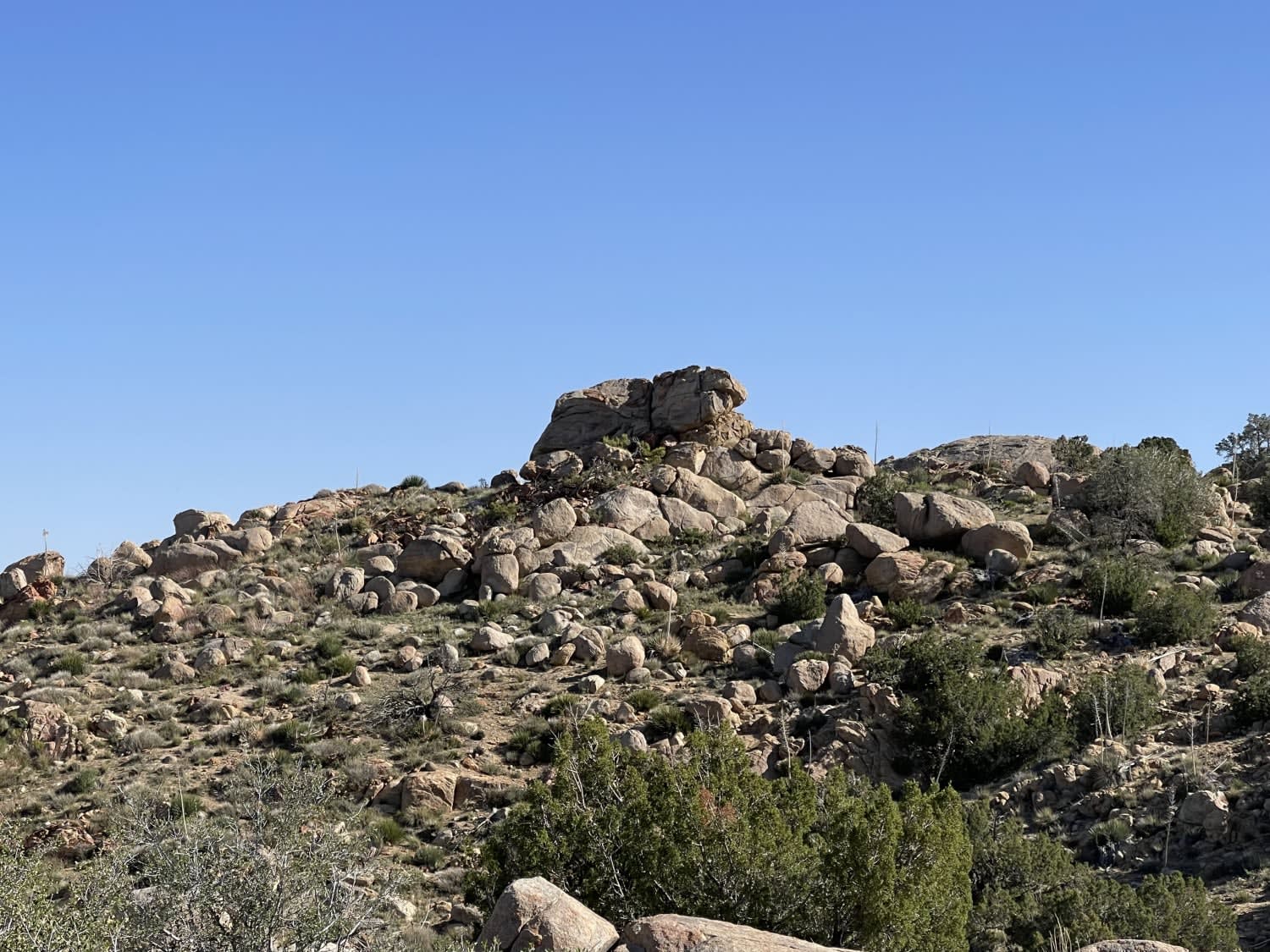
Oak Springs
Total Miles
2.5
Tech Rating
Moderate
Best Time
Winter, Fall, Spring
Learn more about Obsidian Dome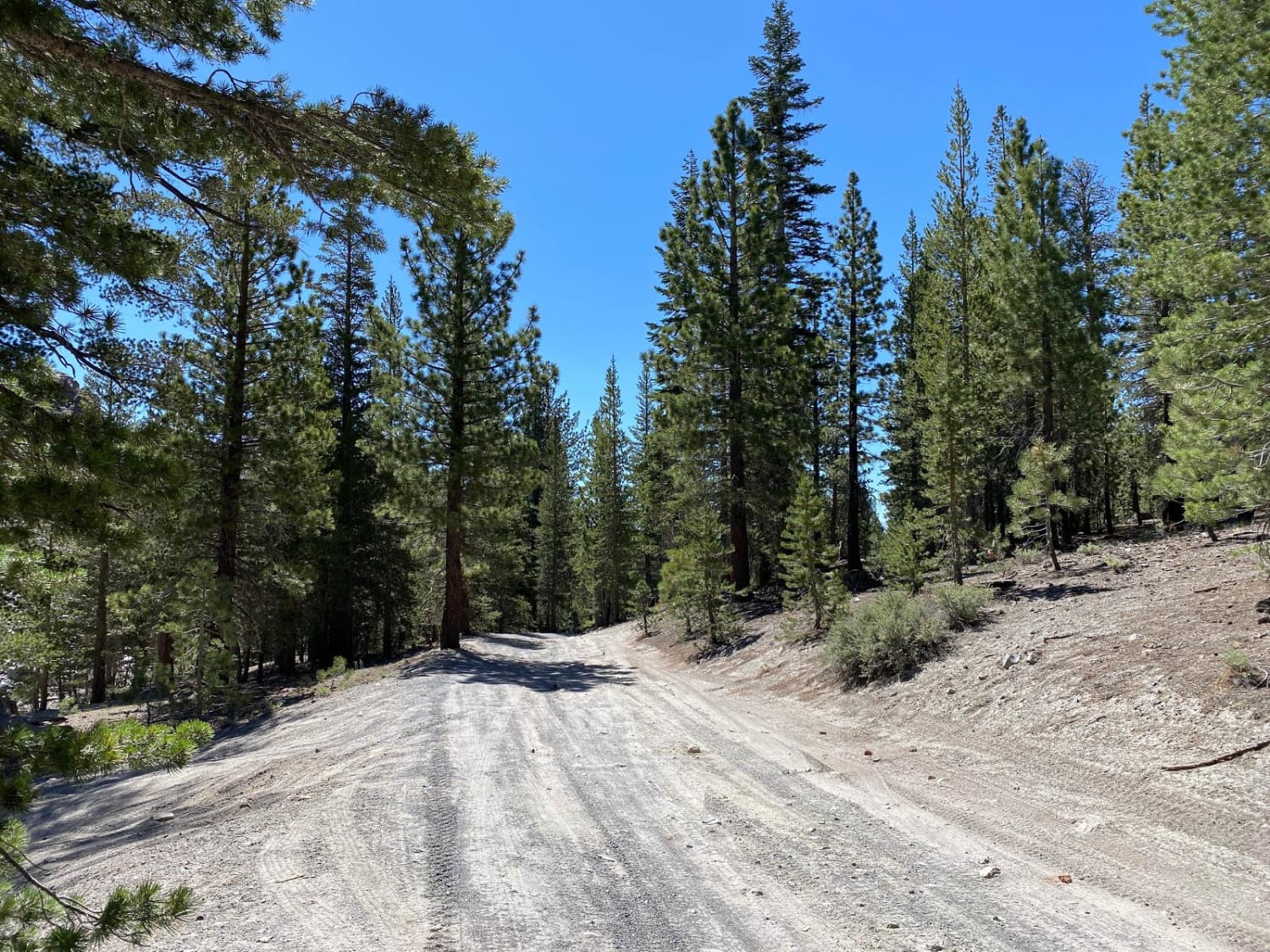
Obsidian Dome
Total Miles
4.4
Tech Rating
Easy
Best Time
Spring, Summer, Fall
Learn more about Obsidian Dome Road/Glass Flow Road - NF2S10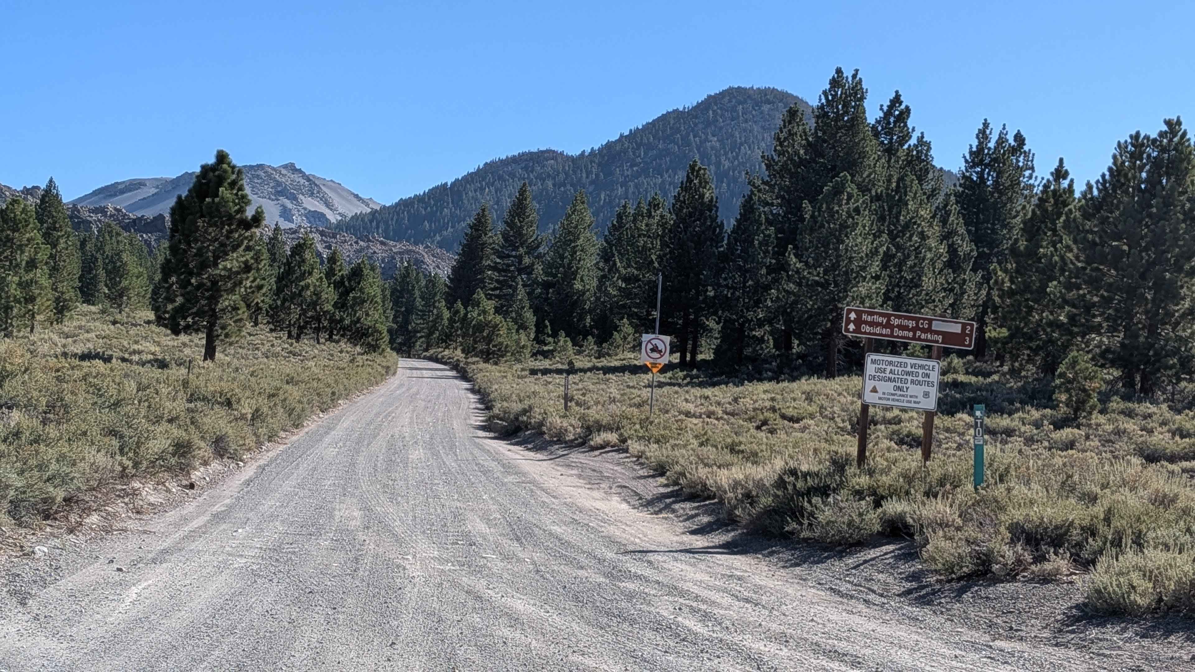
Obsidian Dome Road/Glass Flow Road - NF2S10
Total Miles
3.1
Tech Rating
Easy
Best Time
Fall, Summer
Learn more about Obsidian Dome to Grant Lake
Obsidian Dome to Grant Lake
Total Miles
17.1
Tech Rating
Easy
Best Time
Spring, Summer, Fall
Learn more about Obsidian Loop FS 2S79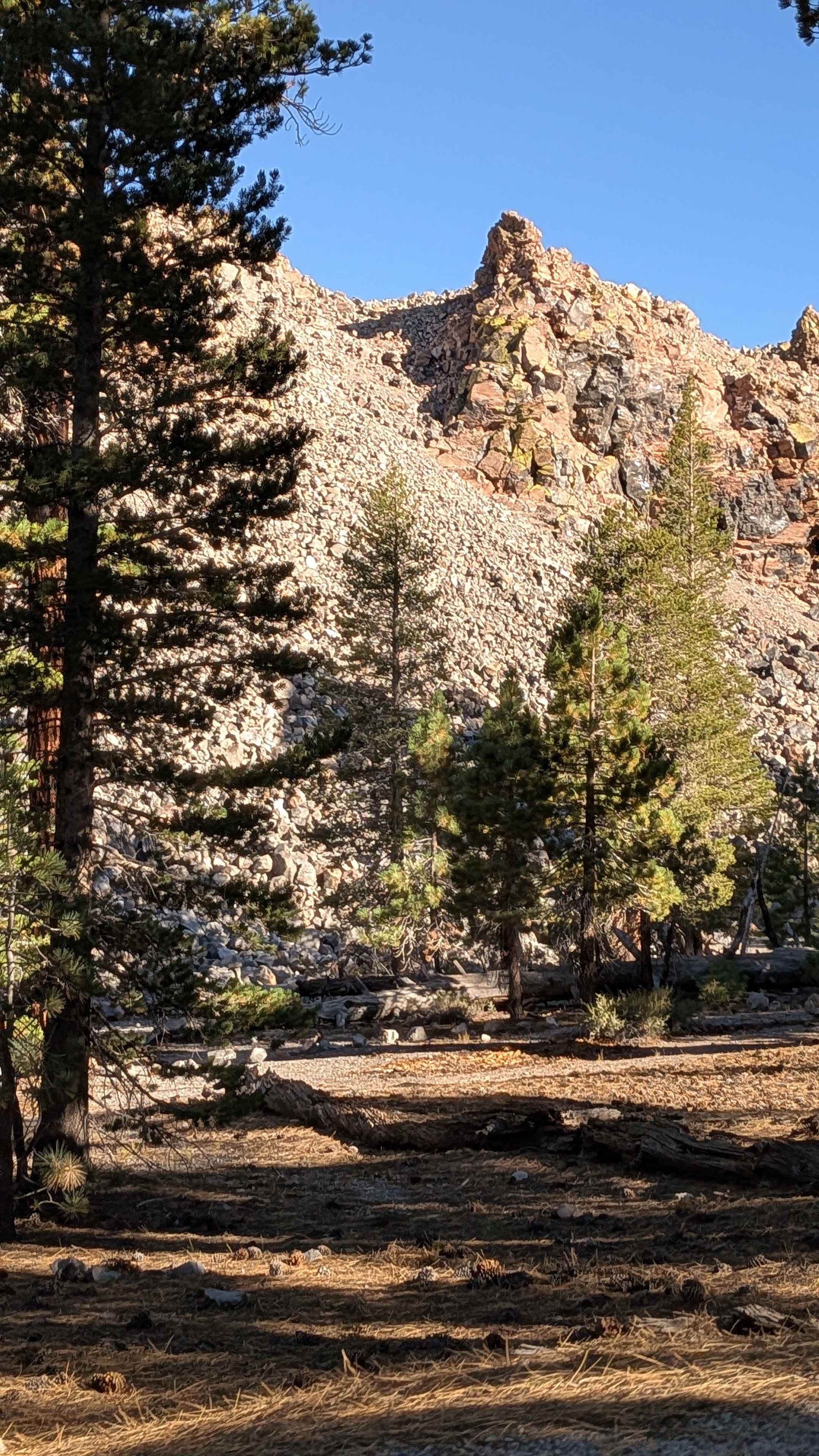
Obsidian Loop FS 2S79
Total Miles
1.6
Tech Rating
Easy
Best Time
Summer, Fall
Learn more about Ocotillo Out and Back 661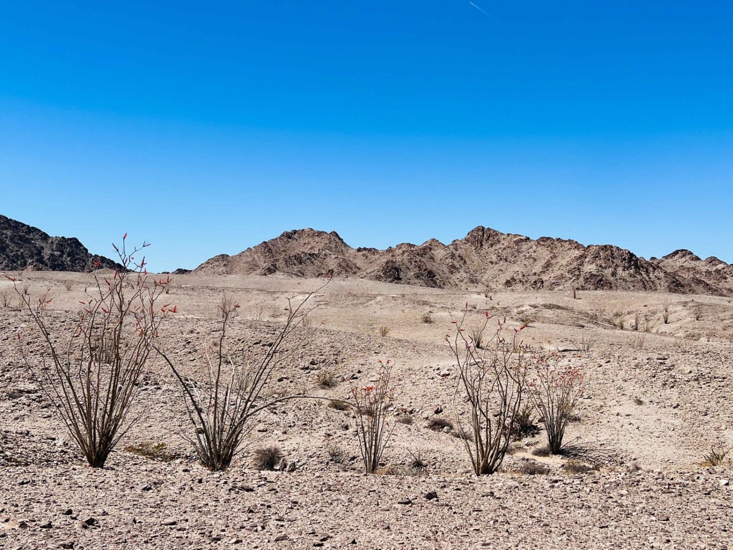
Ocotillo Out and Back 661
Total Miles
2.1
Tech Rating
Easy
Best Time
Winter
Learn more about Ocotillo to Train Bridge
Ocotillo to Train Bridge
Total Miles
13.5
Tech Rating
Easy
Best Time
Winter, Fall, Spring
Learn more about Ocotillo Trail Road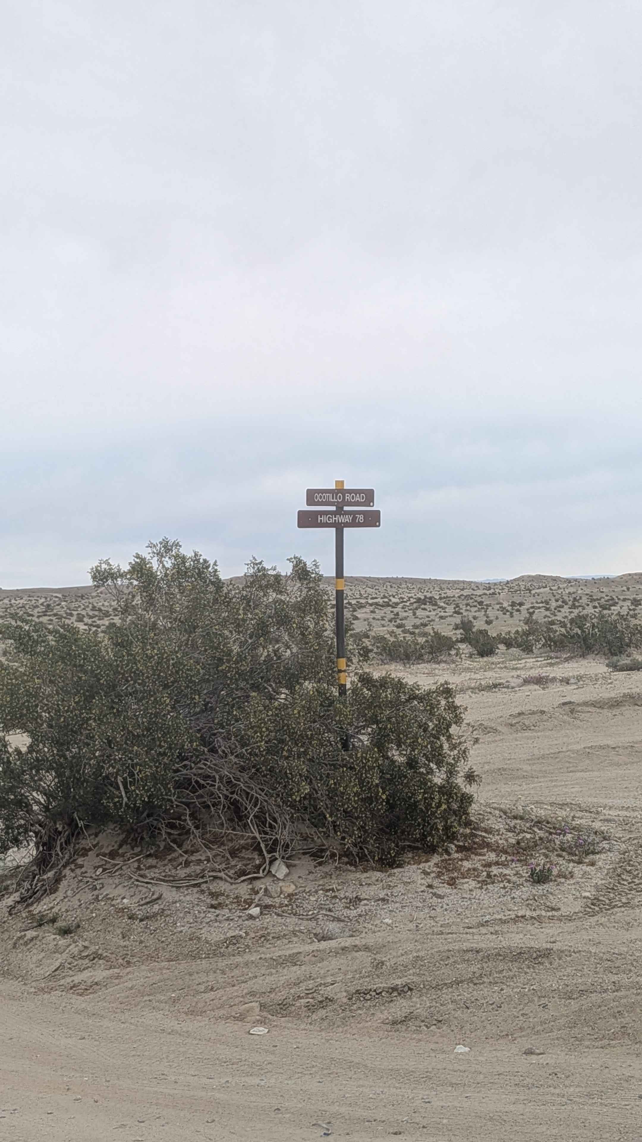
Ocotillo Trail Road
Total Miles
2.9
Tech Rating
Easy
Best Time
Winter, Fall, Spring
Learn more about Ocotillo Wells SVRA
Ocotillo Wells SVRA
Total Miles
10.0
Tech Rating
Easy
Best Time
Spring, Summer, Fall, Winter
Learn more about Odessa-Doran Loop
Odessa-Doran Loop
Total Miles
6.1
Tech Rating
Moderate
Best Time
Winter, Spring, Summer, Fall
Learn more about Off Your Rocker
Off Your Rocker
Total Miles
0.5
Tech Rating
Difficult
Best Time
Winter, Fall, Spring
Learn more about Offshoot to Fish Creek Train Bridge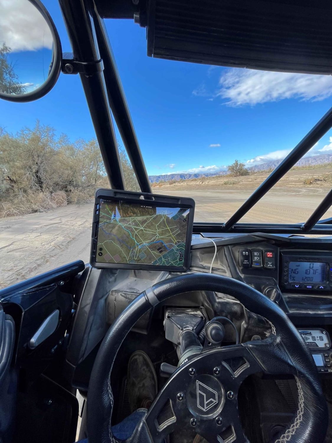
Offshoot to Fish Creek Train Bridge
Total Miles
13.1
Tech Rating
Easy
Best Time
Spring, Fall, Winter
ATV trails in California


UTV/side-by-side trails in California


Learn more about 3N267 Fenner Saddle (4N12)
3N267 Fenner Saddle (4N12)
Total Miles
3.8
Tech Rating
Difficult
Best Time
Spring, Summer, Fall, Winter

The onX Offroad Difference
onX Offroad combines trail photos, descriptions, difficulty ratings, width restrictions, seasonality, and more in a user-friendly interface. Available on all devices, with offline access and full compatibility with CarPlay and Android Auto. Discover what you’re missing today!