Odessa-Doran Loop
Total Miles
6.1
Technical Rating
Best Time
Winter, Spring, Summer, Fall
Trail Type
High-Clearance 4x4 Trail
Accessible By
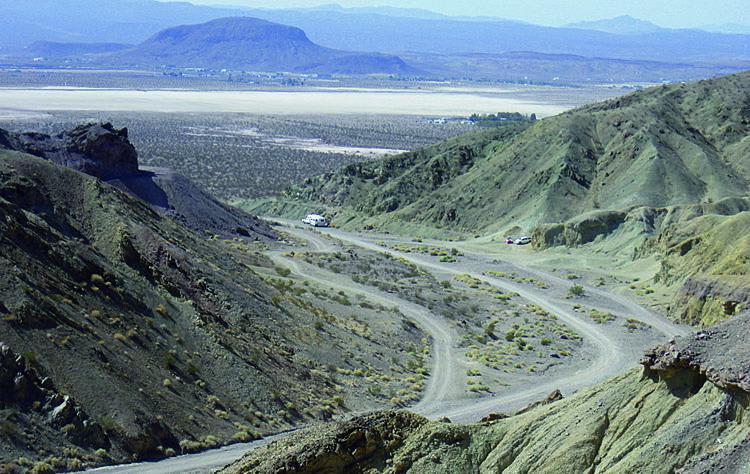
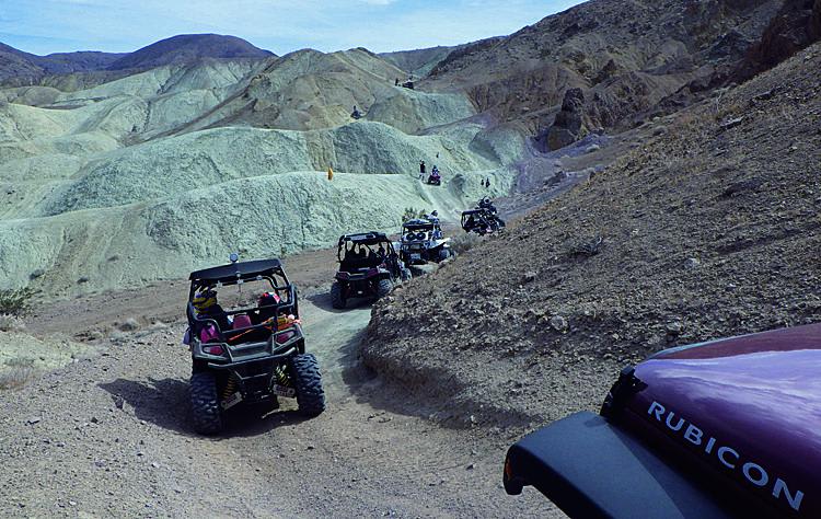
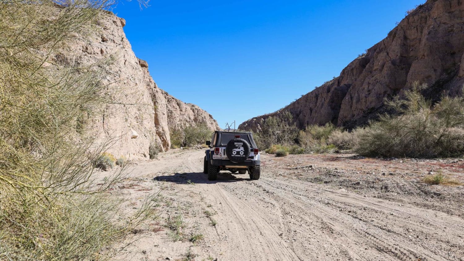
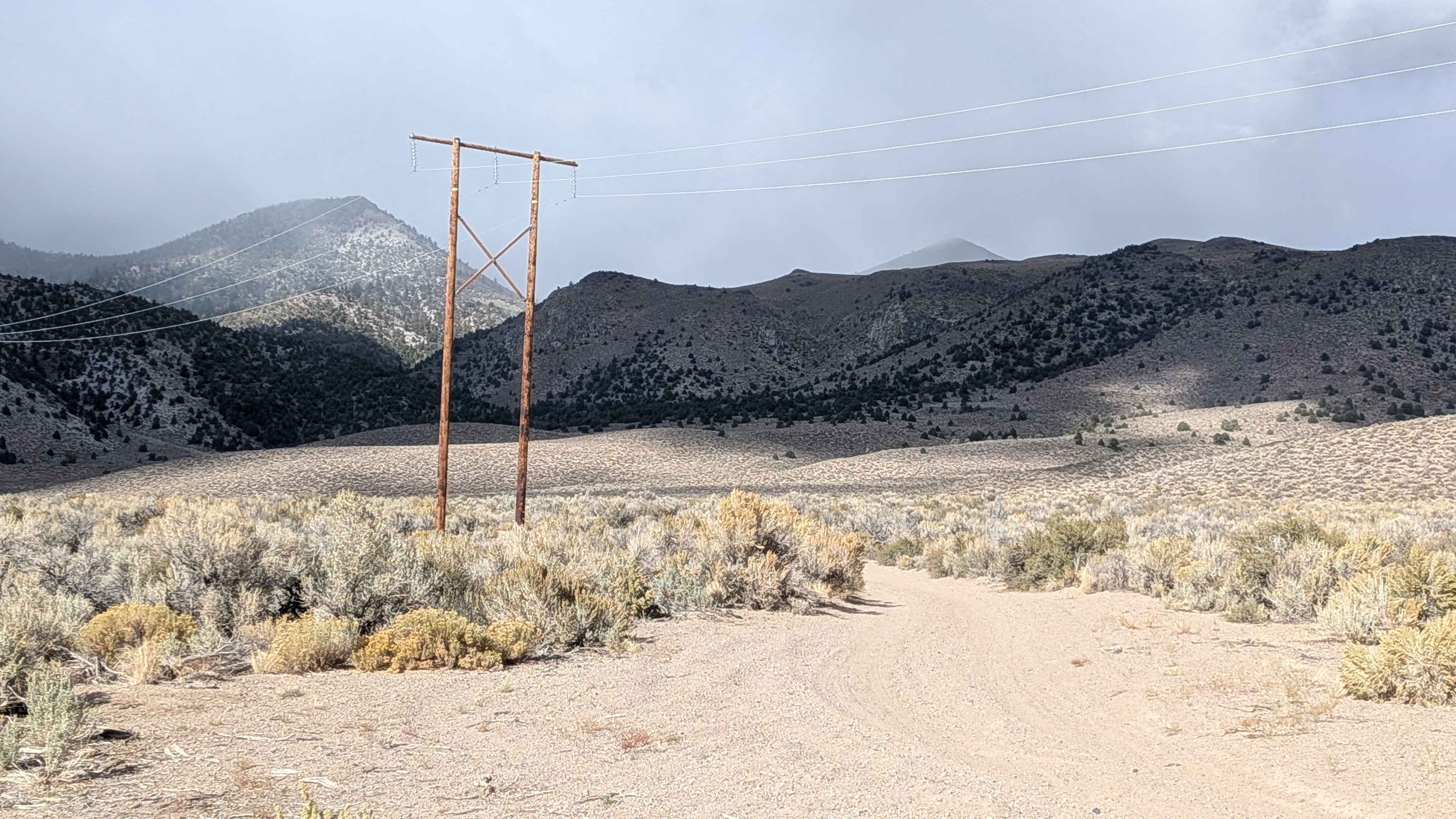
Trail Overview
This amazingly fun route winds north through Odessa Canyon and climbs into the Calico Mountains. From this high point, the trail descends south through Doran Canyon. You'll see many open mines along the route and the massive Bismarck Mine. This area is great for green-sticker vehicles, with many other roads to explore. Stay on routes marked "OPEN." While there, we recommend you visit nearby Calico Ghost Town (fee area).
Photos of Odessa-Doran Loop
Difficulty
Difficult: Large rocks with big ledges and steep drop-offs. Extremely narrow in places. Numerous side roads make route-finding challenging. To see extreme obstacle, go left at Wpt. 02.
History
The eroded paved portions of this trail are remnants of old Doran Scenic Drive, constructed in the 1930s and popular for about a decade. A few old signs remain and many maps, including Google Earth, still refer to this loop as Doran Scenic Drive.
Status Reports
Odessa-Doran Loop can be accessed by the following ride types:
- High-Clearance 4x4
- SxS (60")
- ATV (50")
- Dirt Bike
Odessa-Doran Loop Map
Popular Trails
Moore Pilot Ridge - FS 2S14
Trail 5-3 (11E54)
Little Box Canyon Meccacopia Loop
The onX Offroad Difference
onX Offroad combines trail photos, descriptions, difficulty ratings, width restrictions, seasonality, and more in a user-friendly interface. Available on all devices, with offline access and full compatibility with CarPlay and Android Auto. Discover what you’re missing today!