John Bull Trail
Total Miles
6.7
Technical Rating
Best Time
Summer, Fall
Trail Type
High-Clearance 4x4 Trail
Accessible By
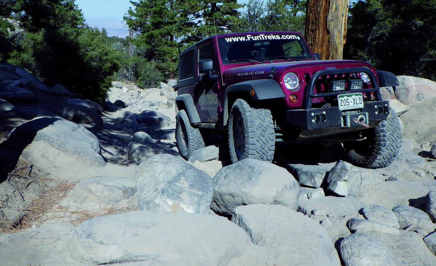
Trail Overview
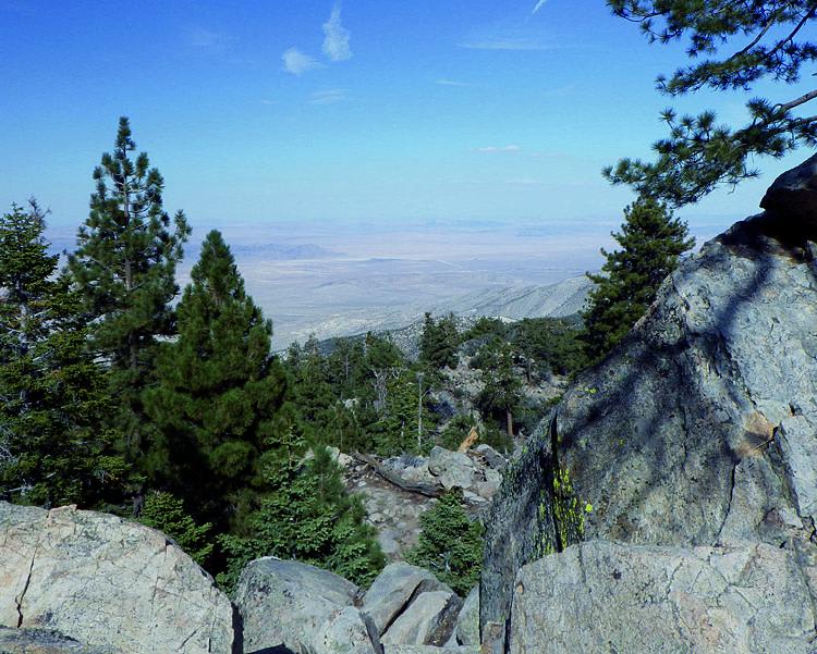
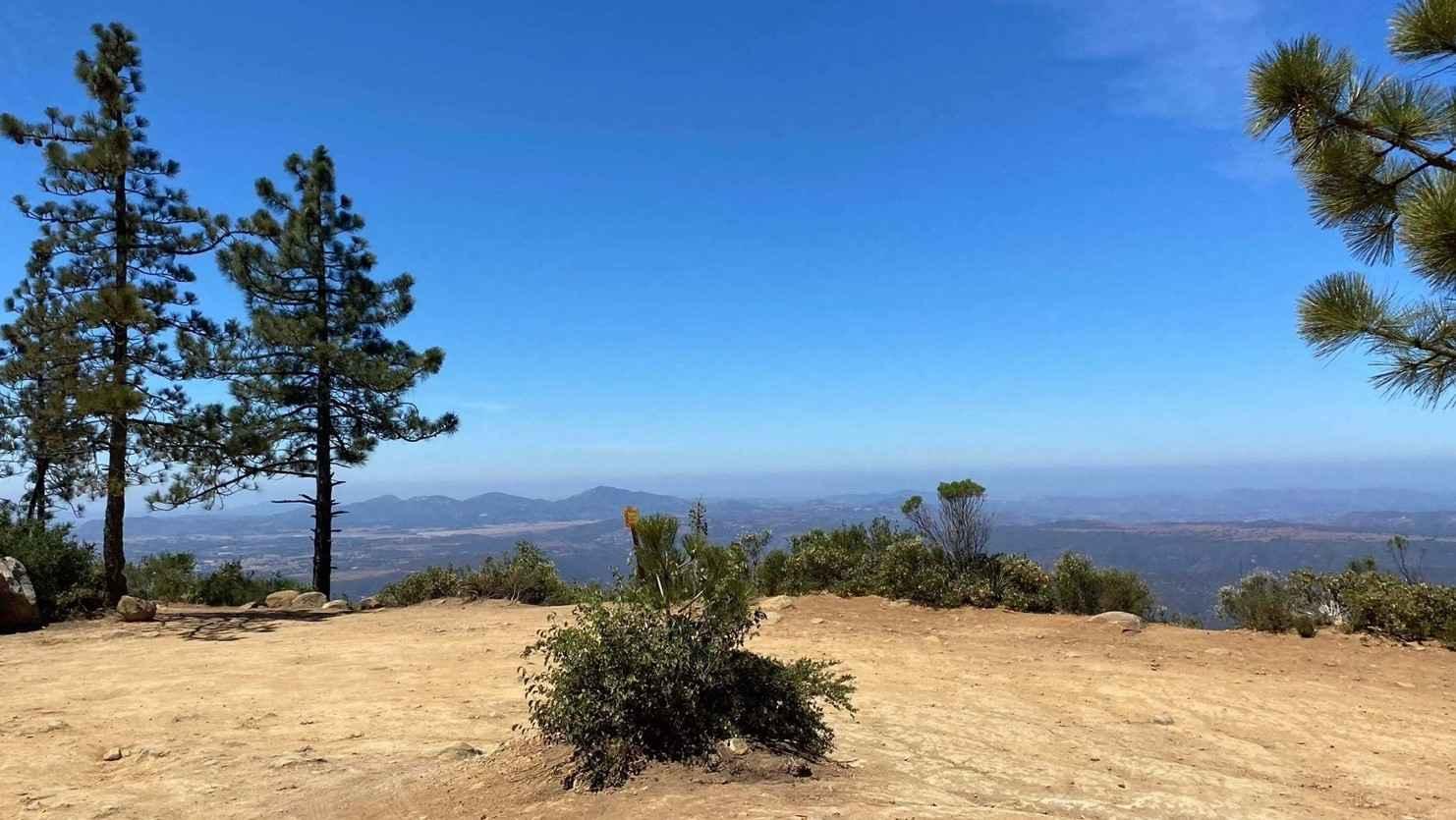
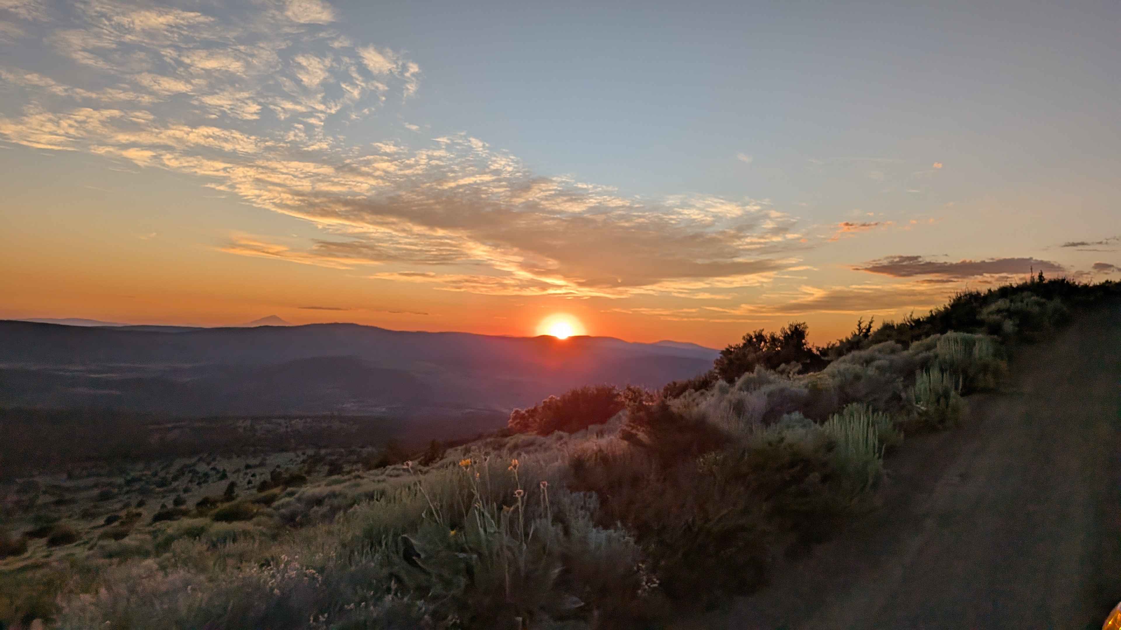
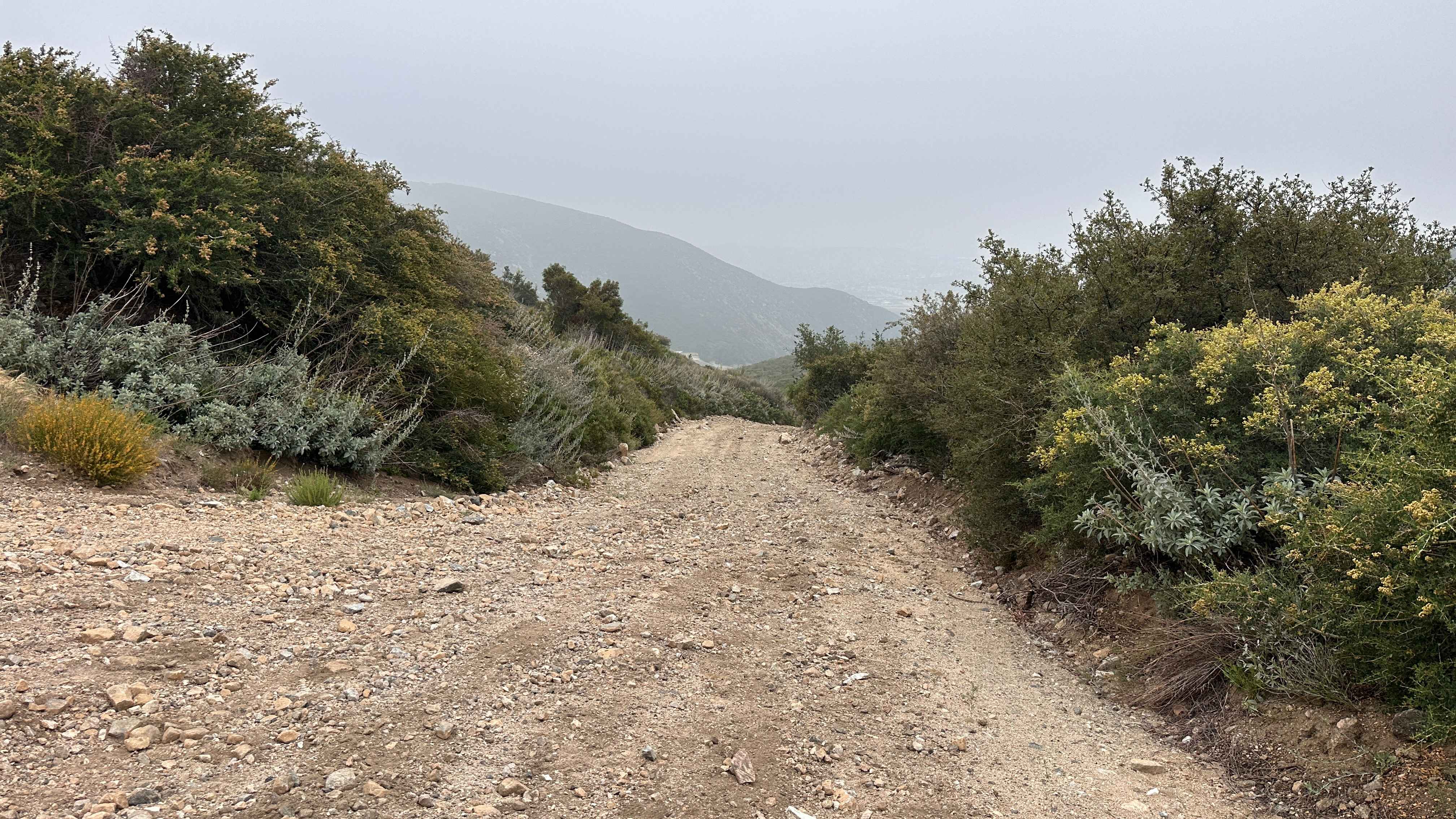
Photos of John Bull Trail
Difficulty
Difficult: Trail officially begins at Waypoint 03, not far from the Gate Keeper. A good spotter here will speed up the process. Winch points are hard to find. Many more boulders follow.
Status Reports
John Bull Trail can be accessed by the following ride types:
- High-Clearance 4x4
John Bull Trail Map
Popular Trails

Big Tree Cucamonga - 1N34
Total Miles
12.1
Tech Rating
Easy
Best Time
Fa / Sp / Wi / Su
11S04 Black Mountain
Total Miles
5.5
Tech Rating
Easy
Best Time
Sp / Su / Fa / Wi
Mount Lively South Fork Mountain Road
Total Miles
5.7
Tech Rating
Easy
Best Time
Su / Fa
Wagon Track Trail
Total Miles
0.9
Tech Rating
Moderate
Best Time
Sp / Su / Fa / Wi
The onX Offroad Difference
onX Offroad combines trail photos, descriptions, difficulty ratings, width restrictions, seasonality, and more in a user-friendly interface. Available on all devices, with offline access and full compatibility with CarPlay and Android Auto. Discover what you’re missing today!