Off-Road Trails in California
Discover off-road trails in California
Learn more about Mendocino Scenic Corridor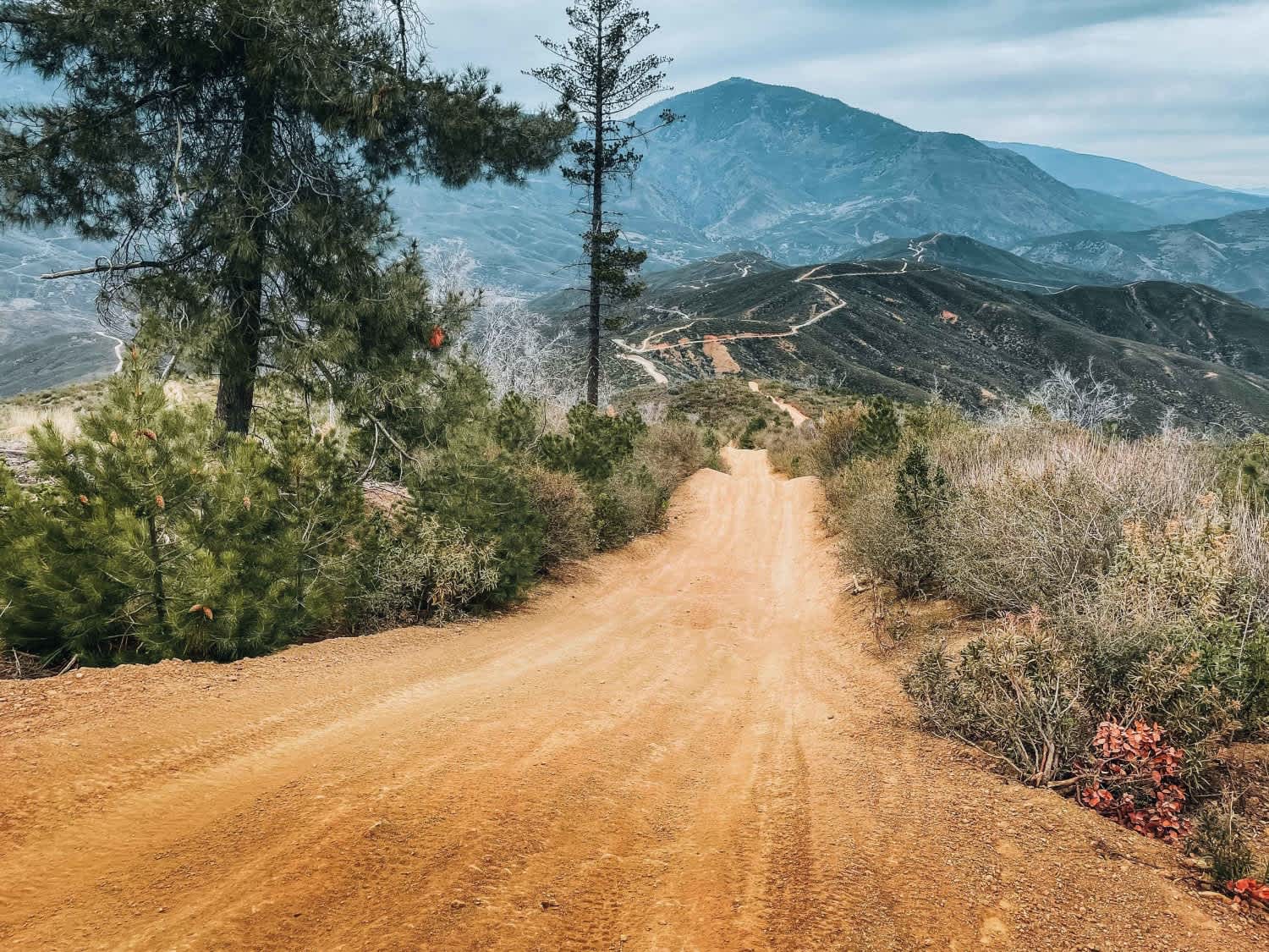
Mendocino Scenic Corridor
Total Miles
43.2
Tech Rating
Moderate
Best Time
Spring, Summer, Fall, Winter
Learn more about Mescal Canyon Road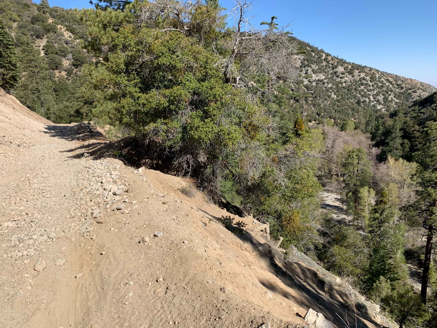
Mescal Canyon Road
Total Miles
3.0
Tech Rating
Easy
Best Time
Spring, Summer
Learn more about Meyers Canyon - 1N33
Meyers Canyon - 1N33
Total Miles
2.1
Tech Rating
Easy
Best Time
Spring, Fall, Winter
Learn more about Miami Mountain Road - FS 6S014
Miami Mountain Road - FS 6S014
Total Miles
6.5
Tech Rating
Easy
Best Time
Spring, Summer, Fall
Learn more about Middle Sky Ranch Road - FS 6S010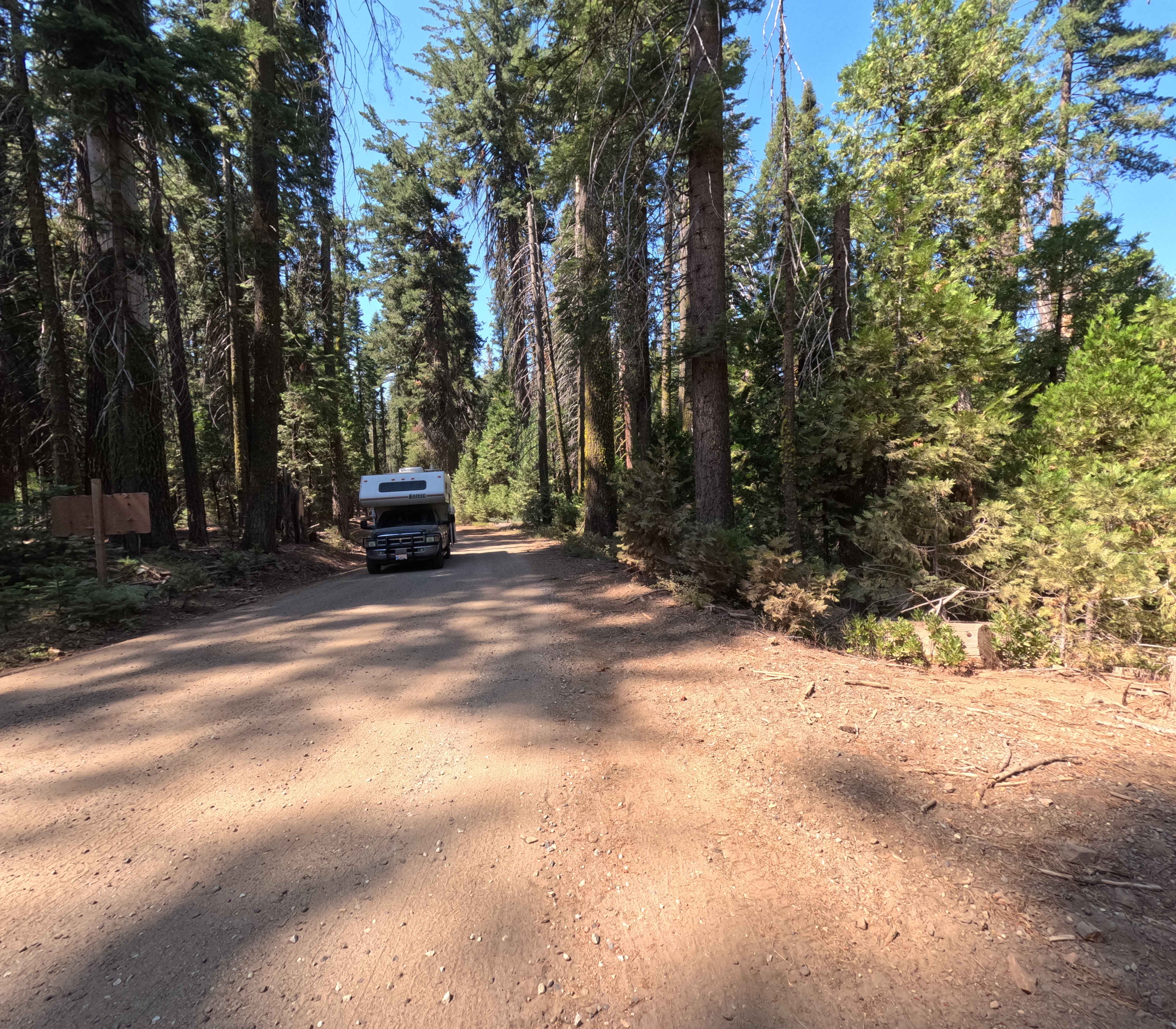
Middle Sky Ranch Road - FS 6S010
Total Miles
4.3
Tech Rating
Easy
Best Time
Summer, Fall, Spring
Learn more about Middle Tuolumne River
Middle Tuolumne River
Total Miles
6.5
Tech Rating
Easy
Best Time
Spring, Summer, Fall
Learn more about Midland Vidal Road
Midland Vidal Road
Total Miles
16.8
Tech Rating
Easy
Best Time
Spring, Winter, Fall
Learn more about Midnight - FS 9S015
Midnight - FS 9S015
Total Miles
2.6
Tech Rating
Moderate
Best Time
Summer, Fall
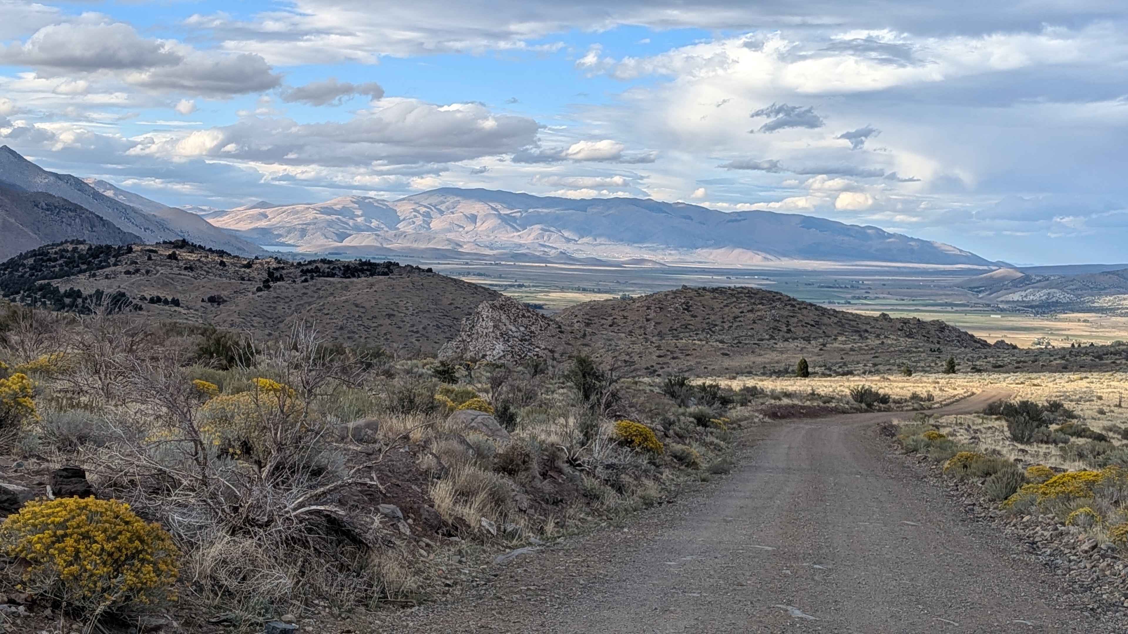
Learn more about Midway Ridge
Midway Ridge
Total Miles
12.8
Tech Rating
Moderate
Best Time
Spring, Summer, Fall
Learn more about Midway Well Road
Midway Well Road
Total Miles
12.1
Tech Rating
Easy
Best Time
Spring, Fall
Learn more about Milford Road Cutover
Milford Road Cutover
Total Miles
3.6
Tech Rating
Easy
Best Time
Winter, Fall, Spring
Learn more about Military Wash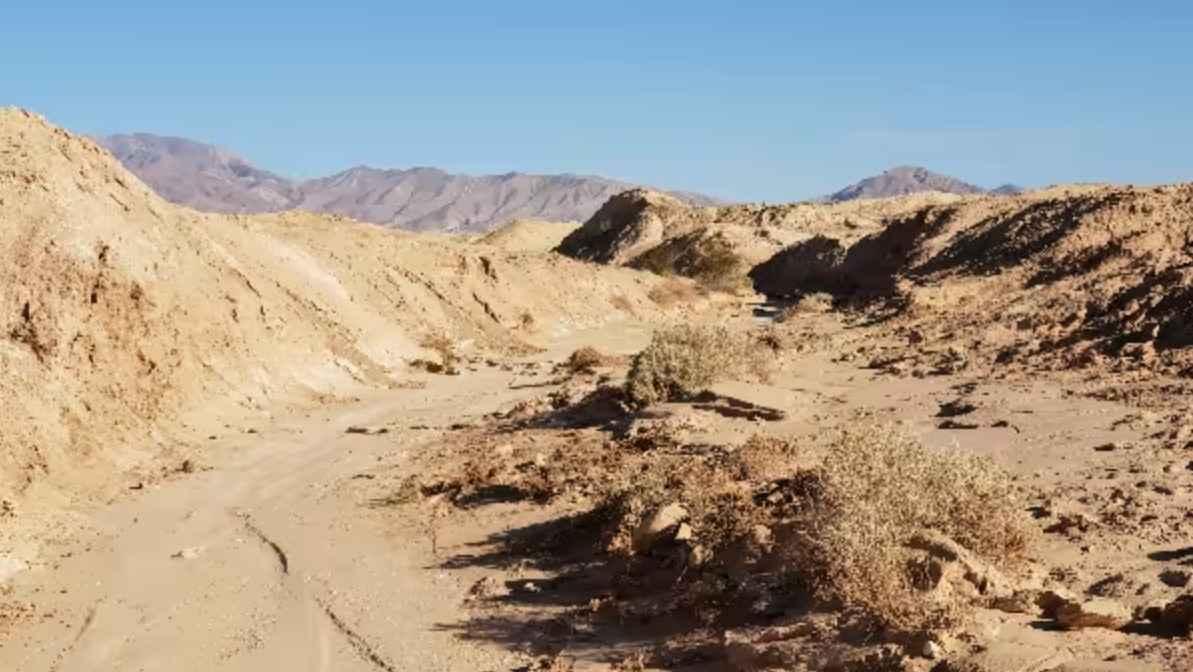
Military Wash
Total Miles
4.4
Tech Rating
Easy
Best Time
Spring, Summer, Fall, Winter
Learn more about Mill Creek - FS 2N10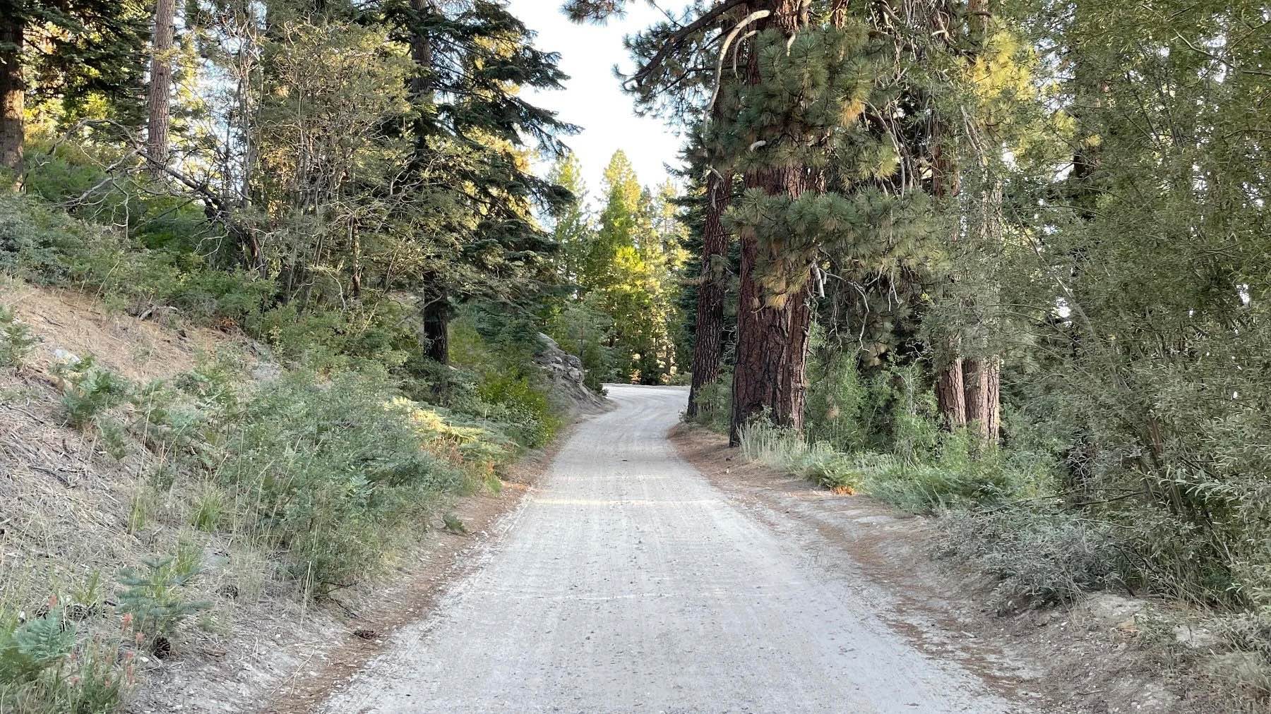
Mill Creek - FS 2N10
Total Miles
11.3
Tech Rating
Easy
Best Time
Spring, Summer, Fall
Learn more about Mill Creek - FS 6S040X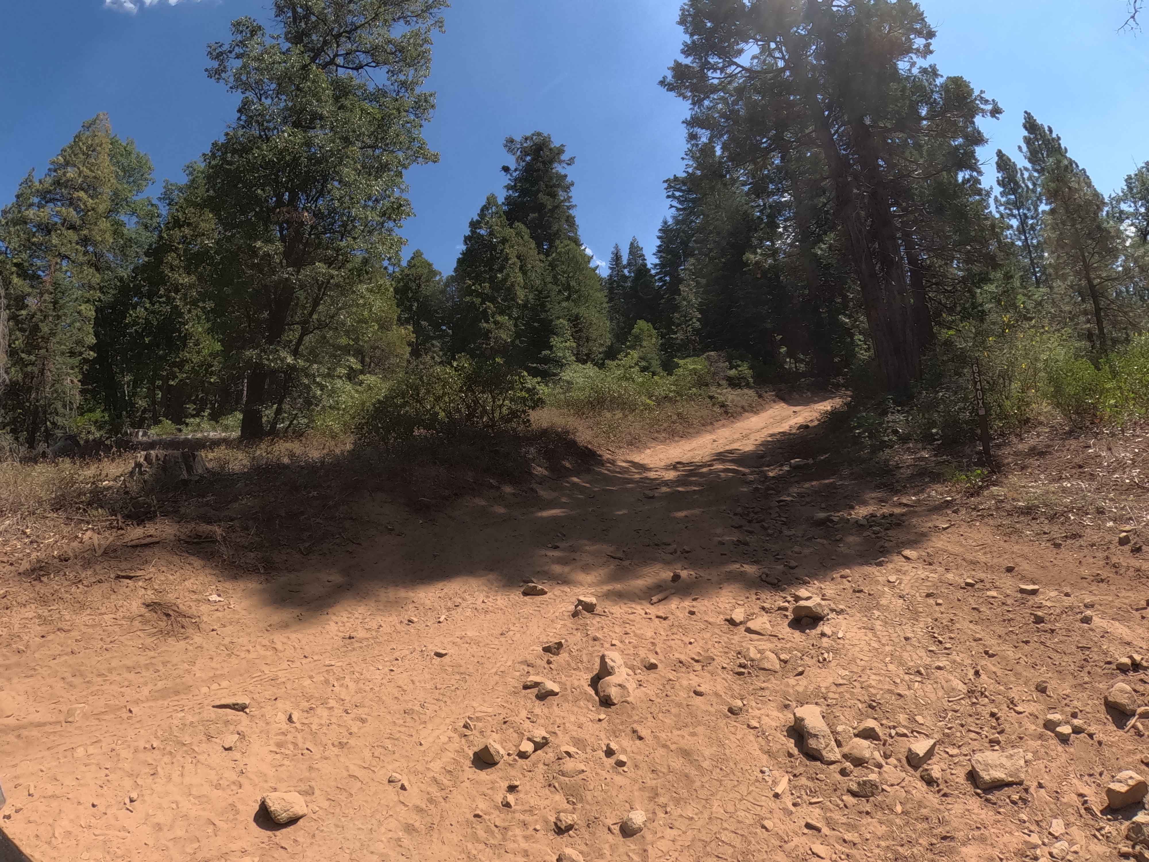
Mill Creek - FS 6S040X
Total Miles
4.6
Tech Rating
Easy
Best Time
Summer, Fall
Learn more about Mill Creek Road - FS5N21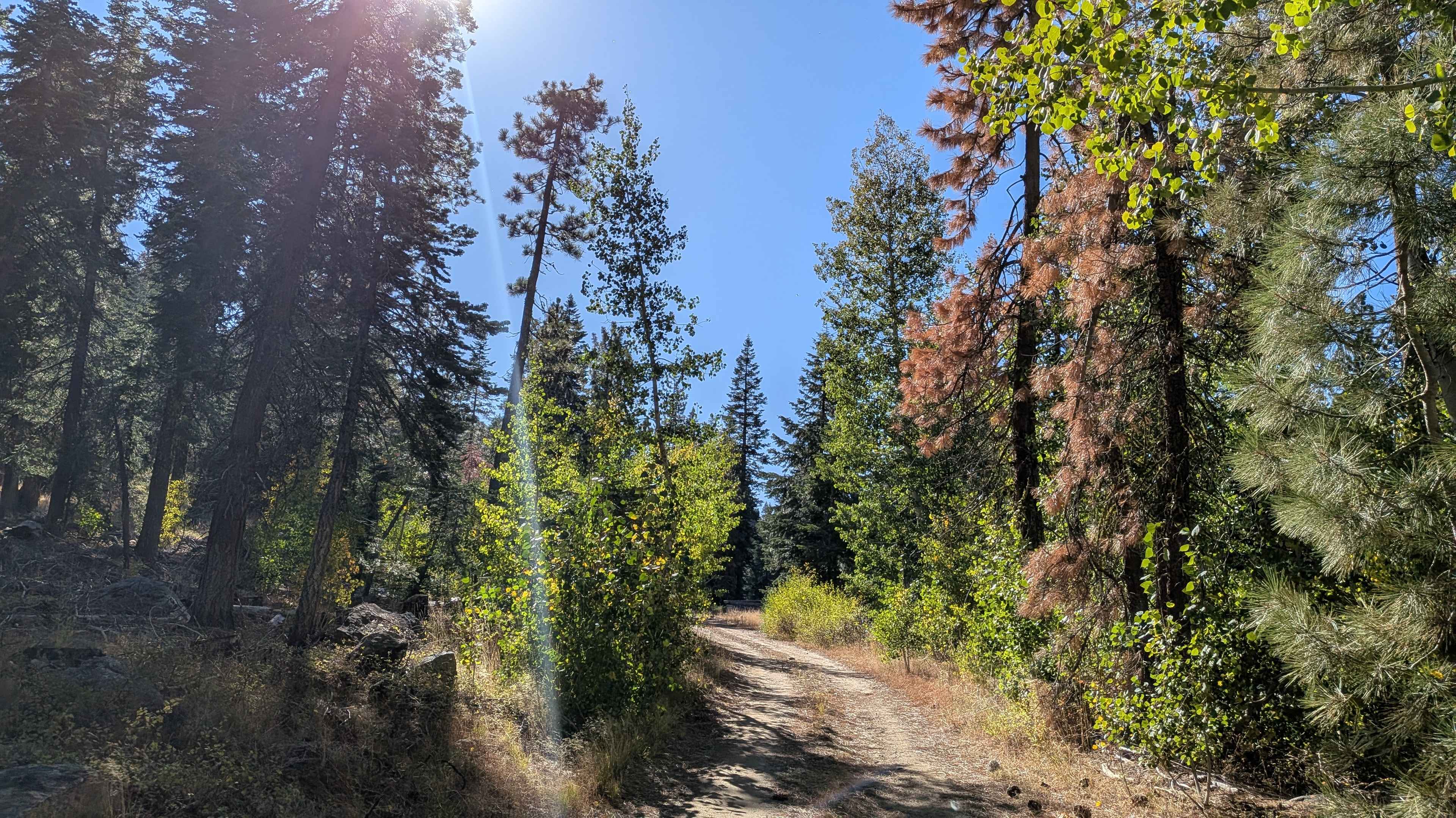
Mill Creek Road - FS5N21
Total Miles
4.9
Tech Rating
Easy
Best Time
Fall, Summer
Learn more about Miller Jeep Trail - 20W06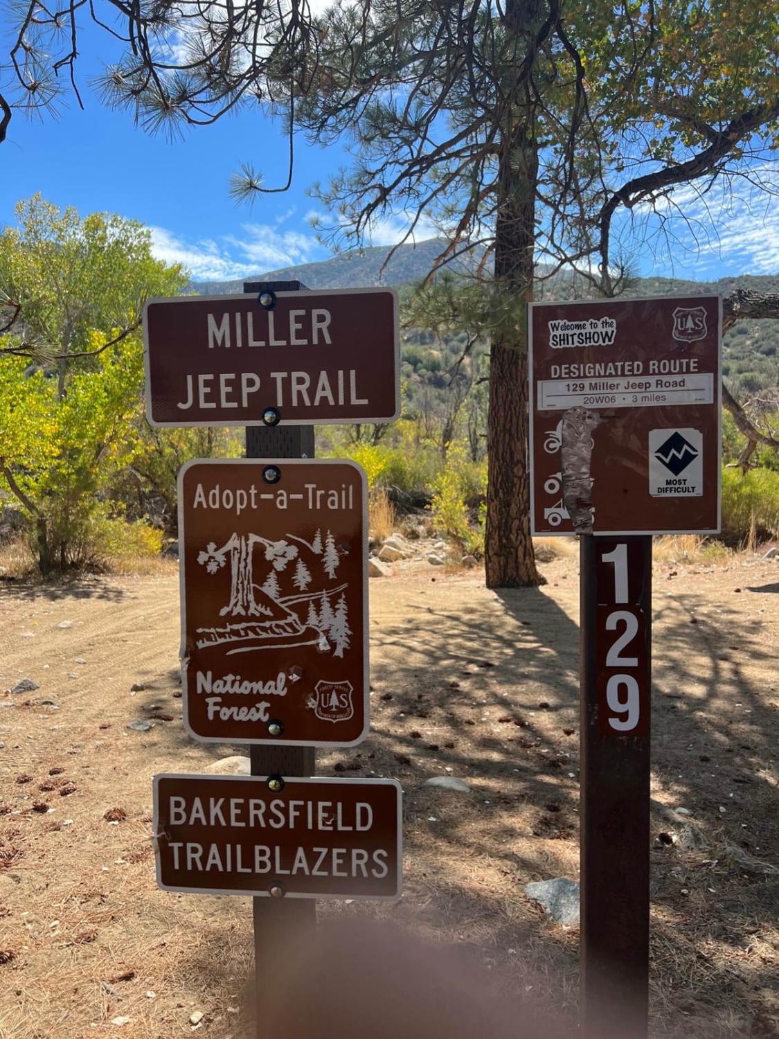
Miller Jeep Trail - 20W06
Total Miles
3.1
Tech Rating
Moderate
Best Time
Spring, Summer, Fall
Learn more about Milpitas Wash
Milpitas Wash
Total Miles
16.8
Tech Rating
Easy
Best Time
Spring, Summer, Fall
Learn more about Minarets No 80 YA Spur - FS 5S012YA
Minarets No 80 YA Spur - FS 5S012YA
Total Miles
0.7
Tech Rating
Easy
Best Time
Fall, Summer
Learn more about Minarets Number 80 - FS 5S012Y
Minarets Number 80 - FS 5S012Y
Total Miles
1.3
Tech Rating
Easy
Best Time
Summer, Fall
ATV trails in California


UTV/side-by-side trails in California


Learn more about 3N267 Fenner Saddle (4N12)
3N267 Fenner Saddle (4N12)
Total Miles
3.8
Tech Rating
Difficult
Best Time
Spring, Summer, Fall, Winter

The onX Offroad Difference
onX Offroad combines trail photos, descriptions, difficulty ratings, width restrictions, seasonality, and more in a user-friendly interface. Available on all devices, with offline access and full compatibility with CarPlay and Android Auto. Discover what you’re missing today!