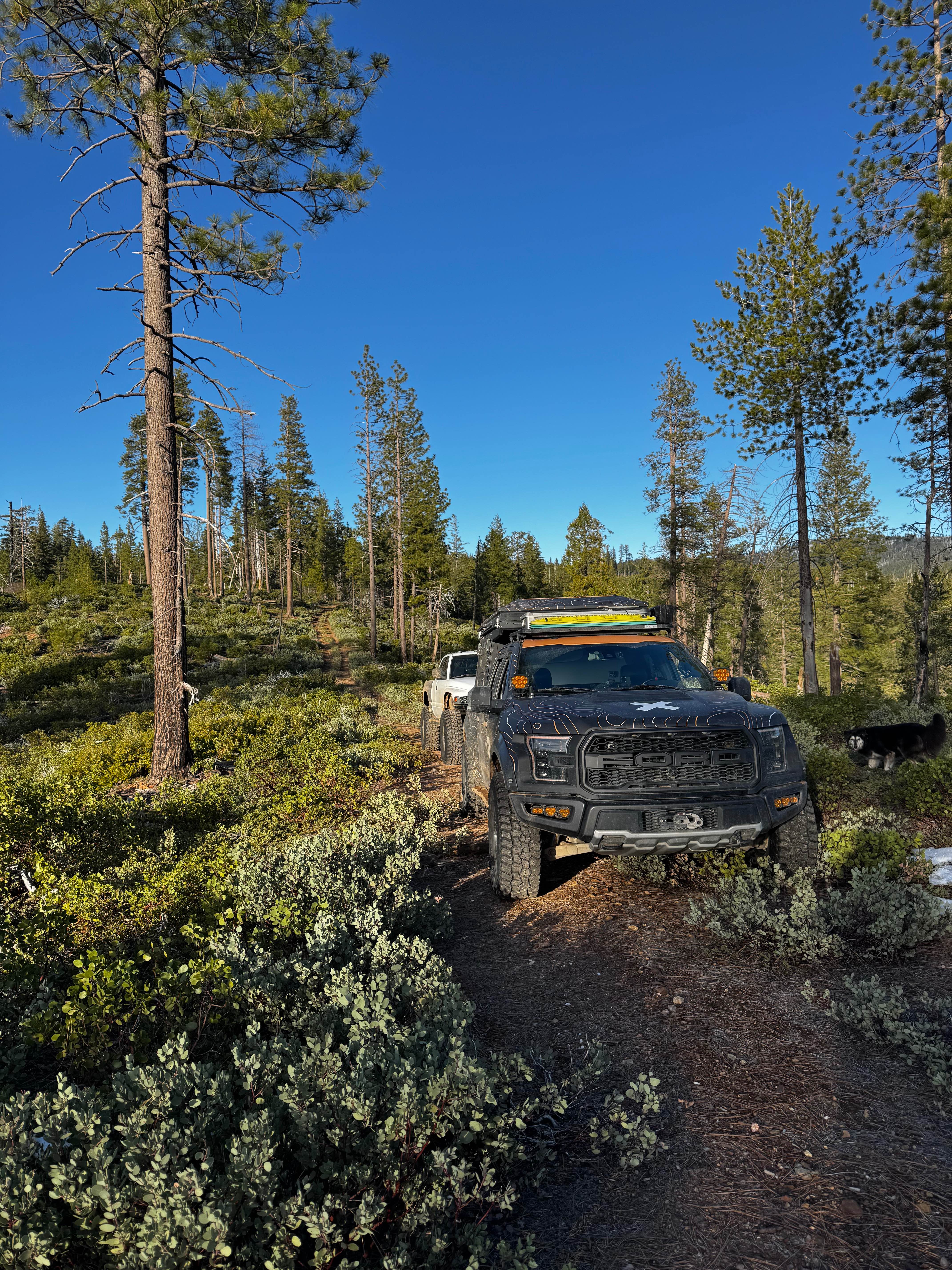
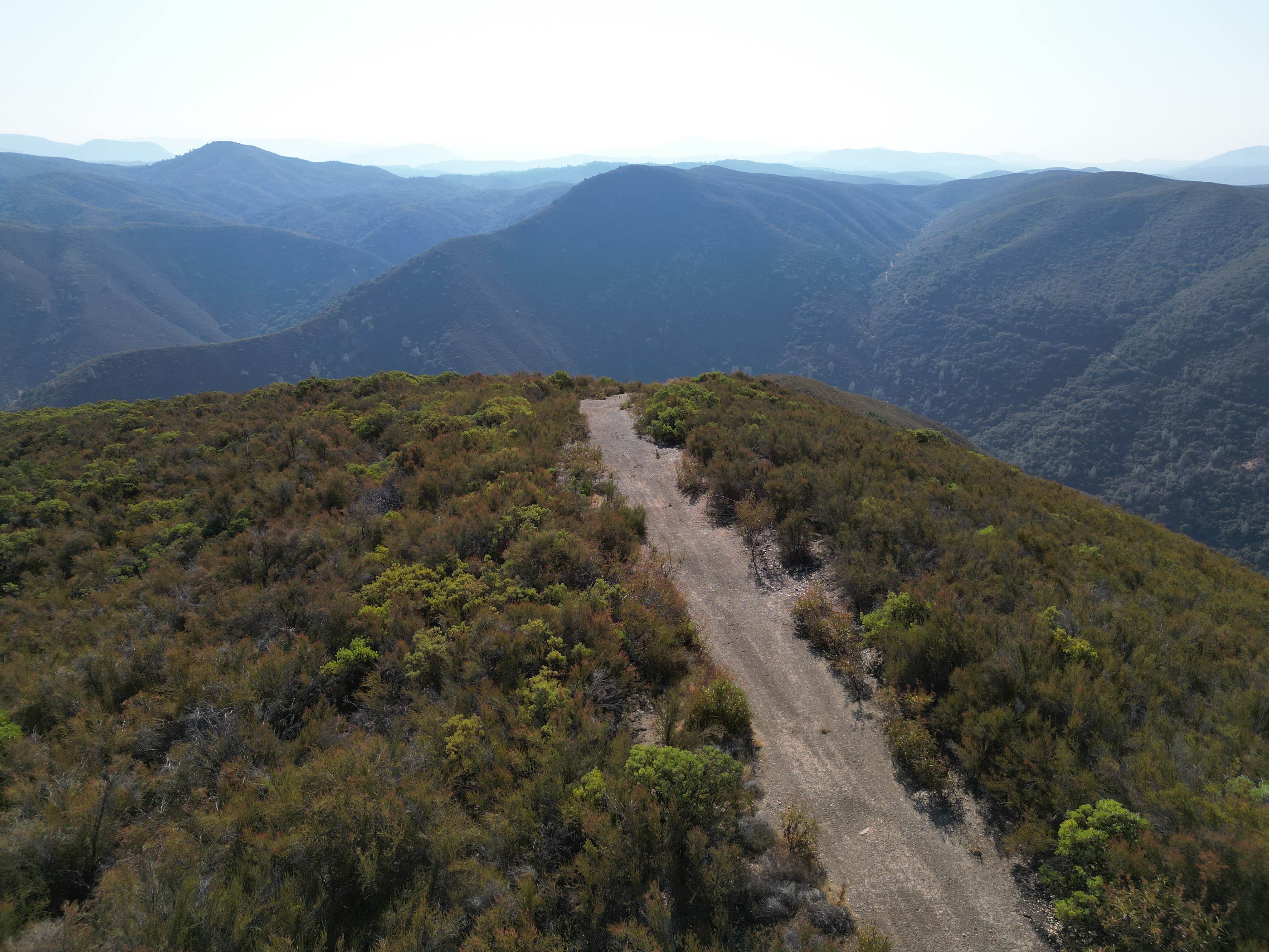
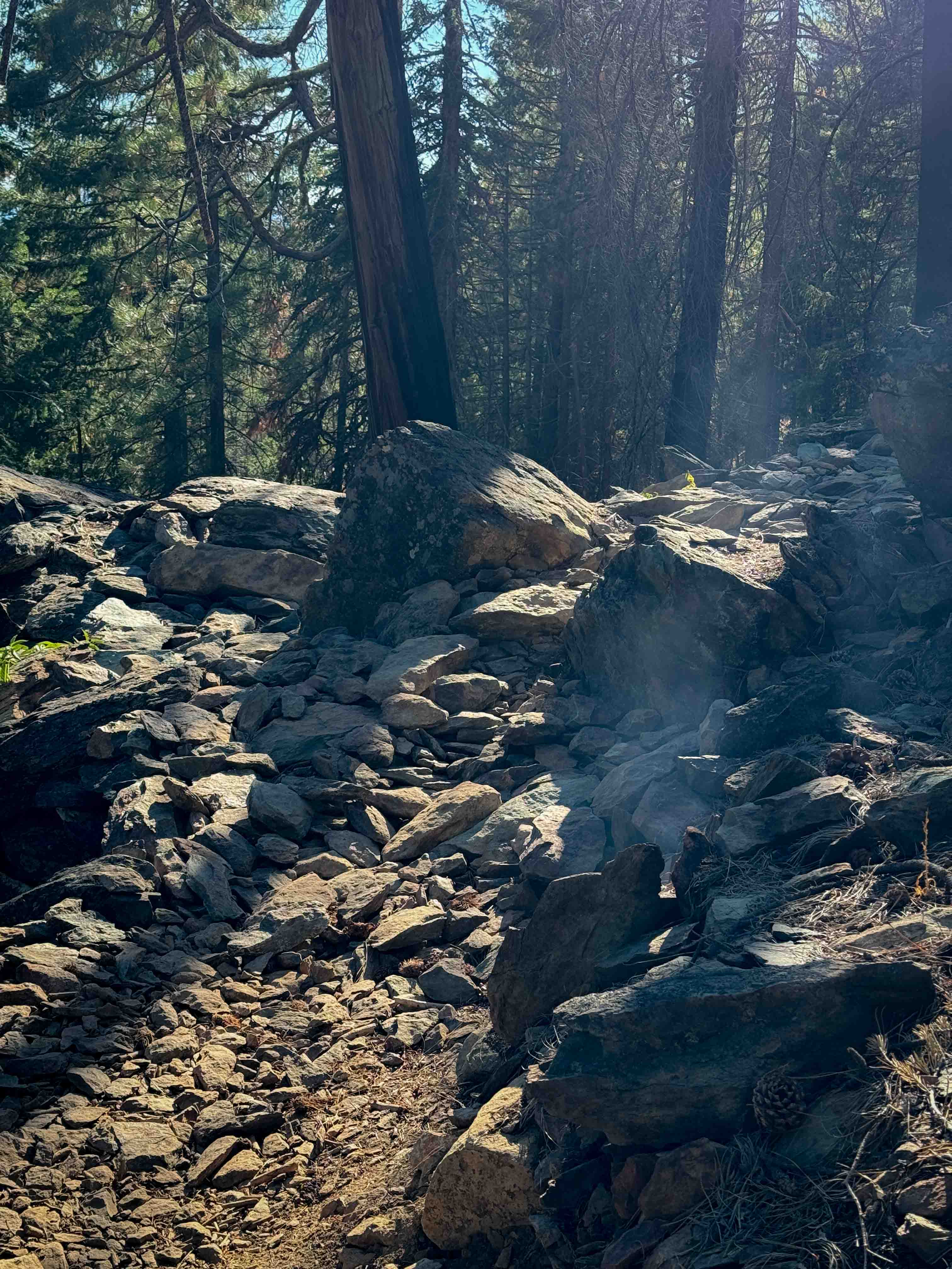
Off-Road Trails in California
Discover off-road trails in California
Learn more about Lost Lizards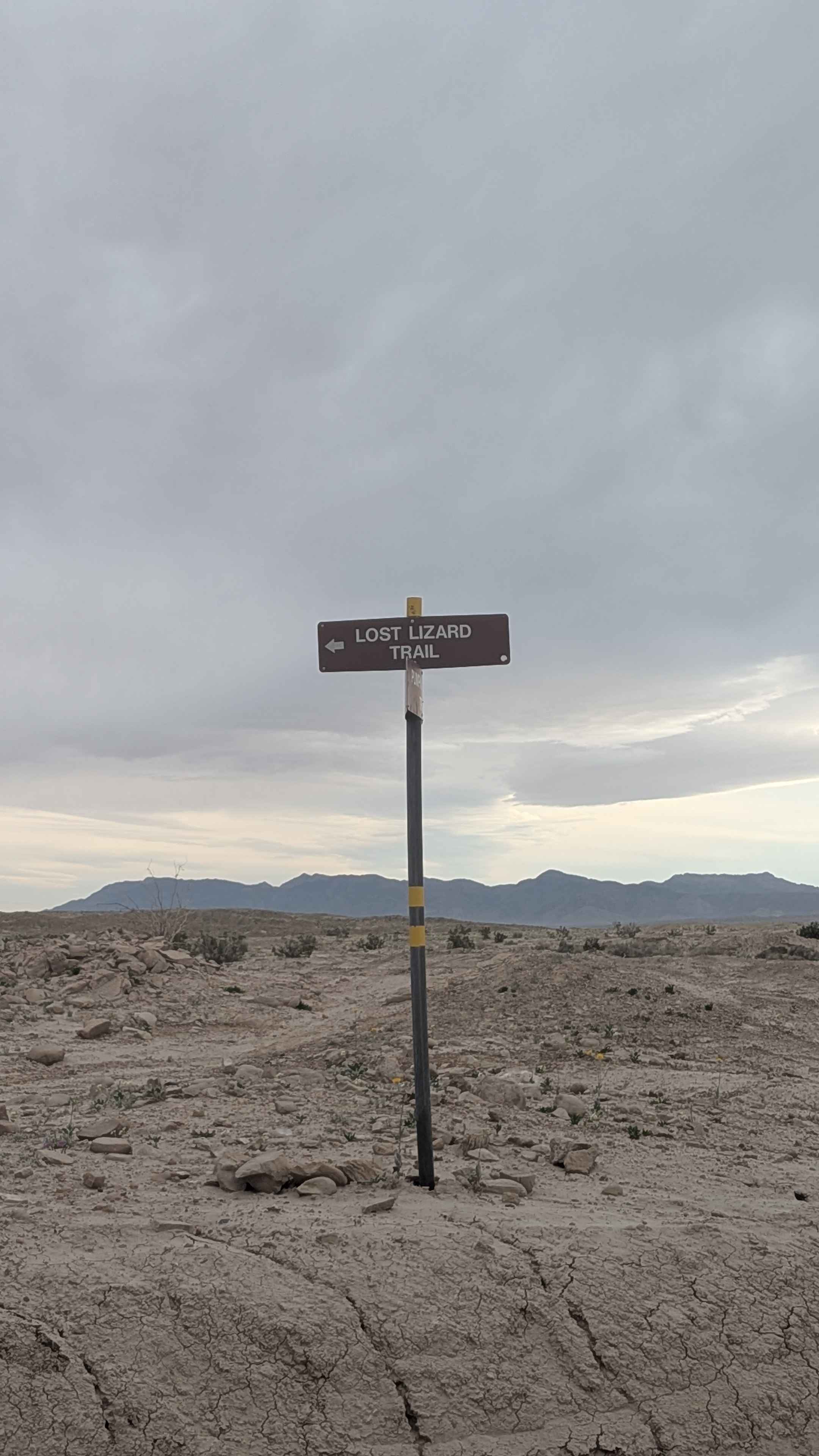
Lost Lizards
Total Miles
2.3
Tech Rating
Moderate
Best Time
Winter, Fall, Spring
Learn more about Low Gap Road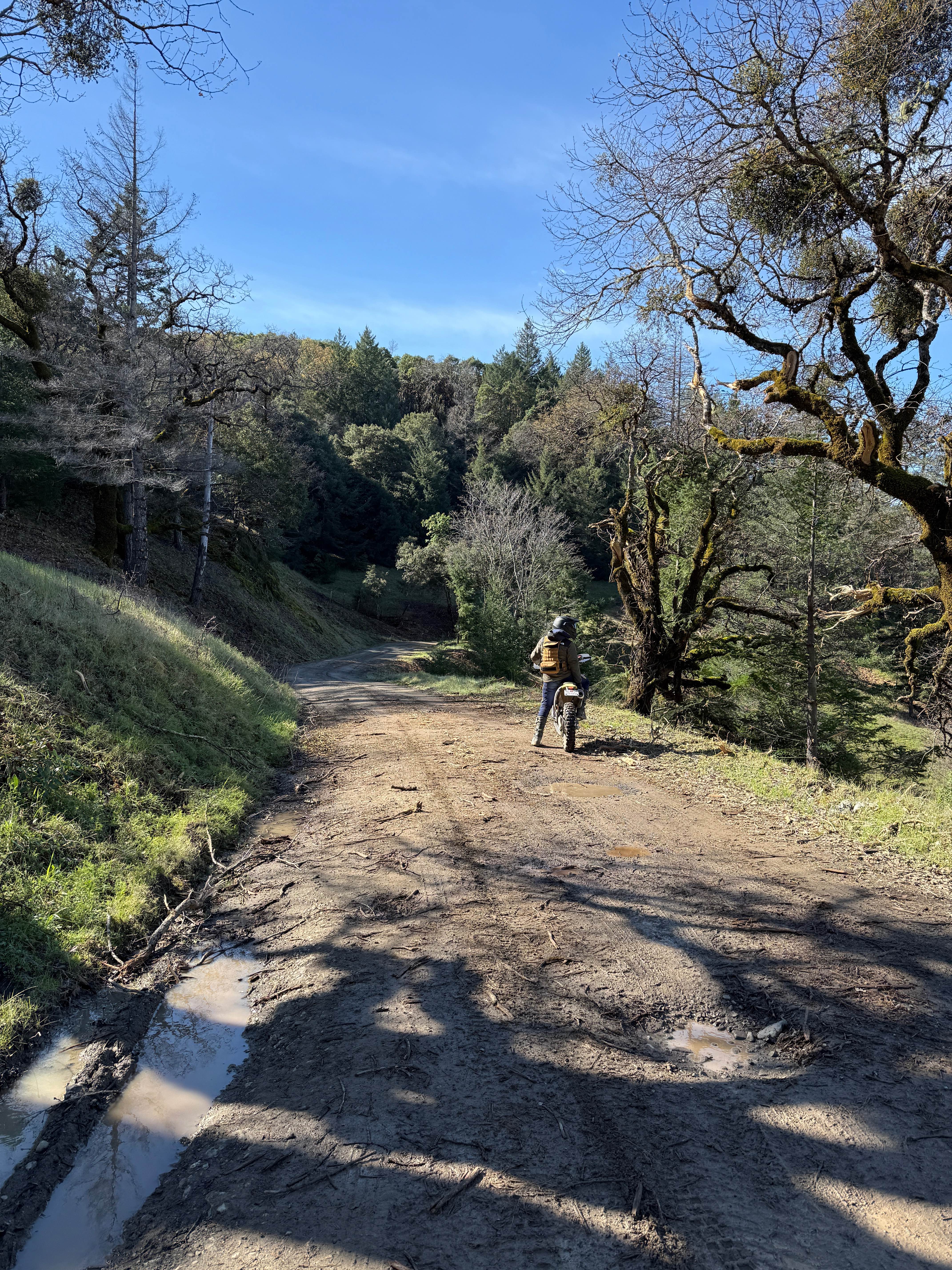
Low Gap Road
Total Miles
20.6
Tech Rating
Easy
Best Time
Spring, Summer, Fall
Learn more about Lower Acorn Grotto
Lower Acorn Grotto
Total Miles
3.7
Tech Rating
Moderate
Best Time
Spring, Fall
Learn more about Lower Beasore - FS 5S093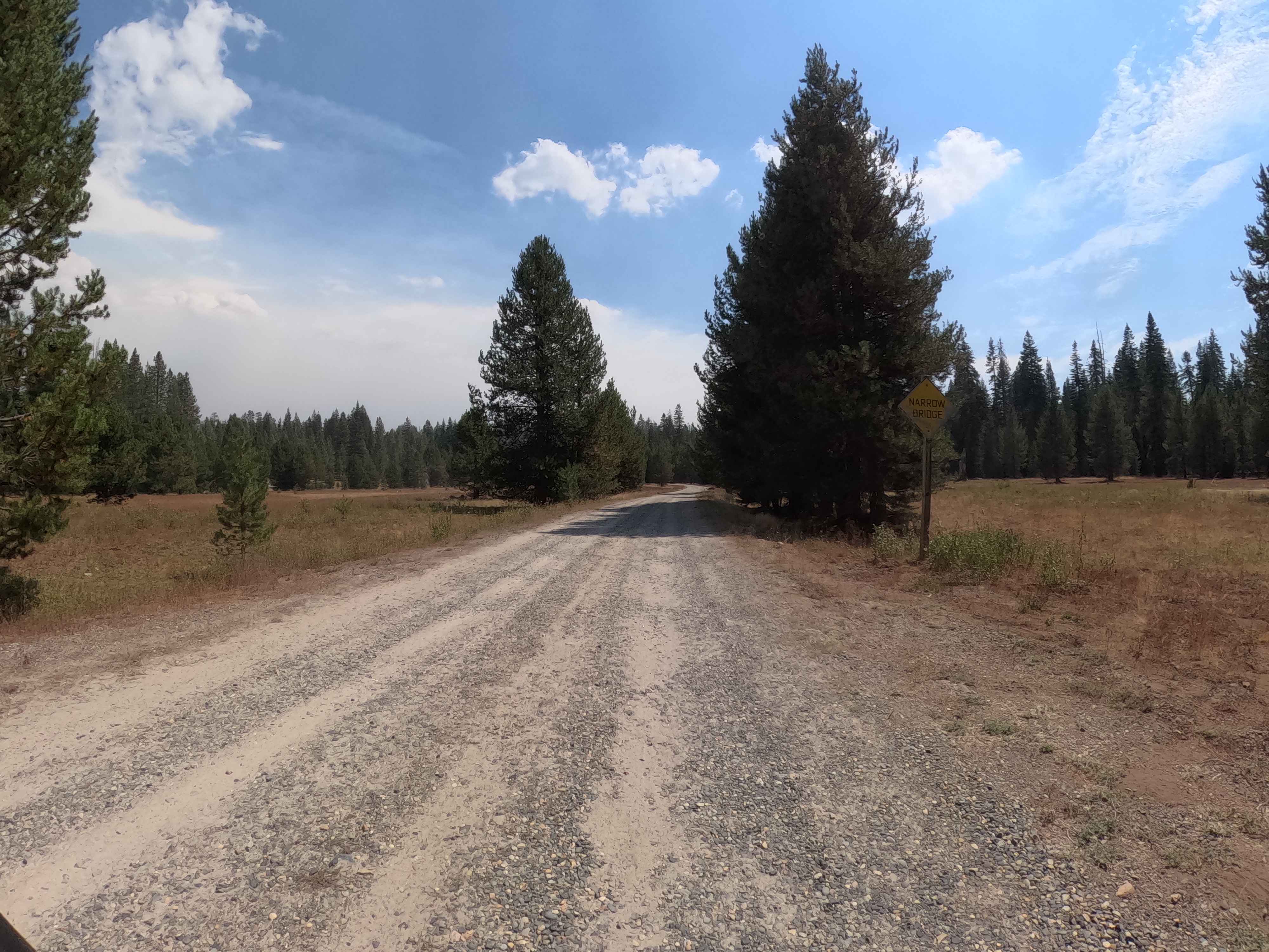
Lower Beasore - FS 5S093
Total Miles
3.8
Tech Rating
Easy
Best Time
Summer, Fall
Learn more about Lower Blythe Olgilby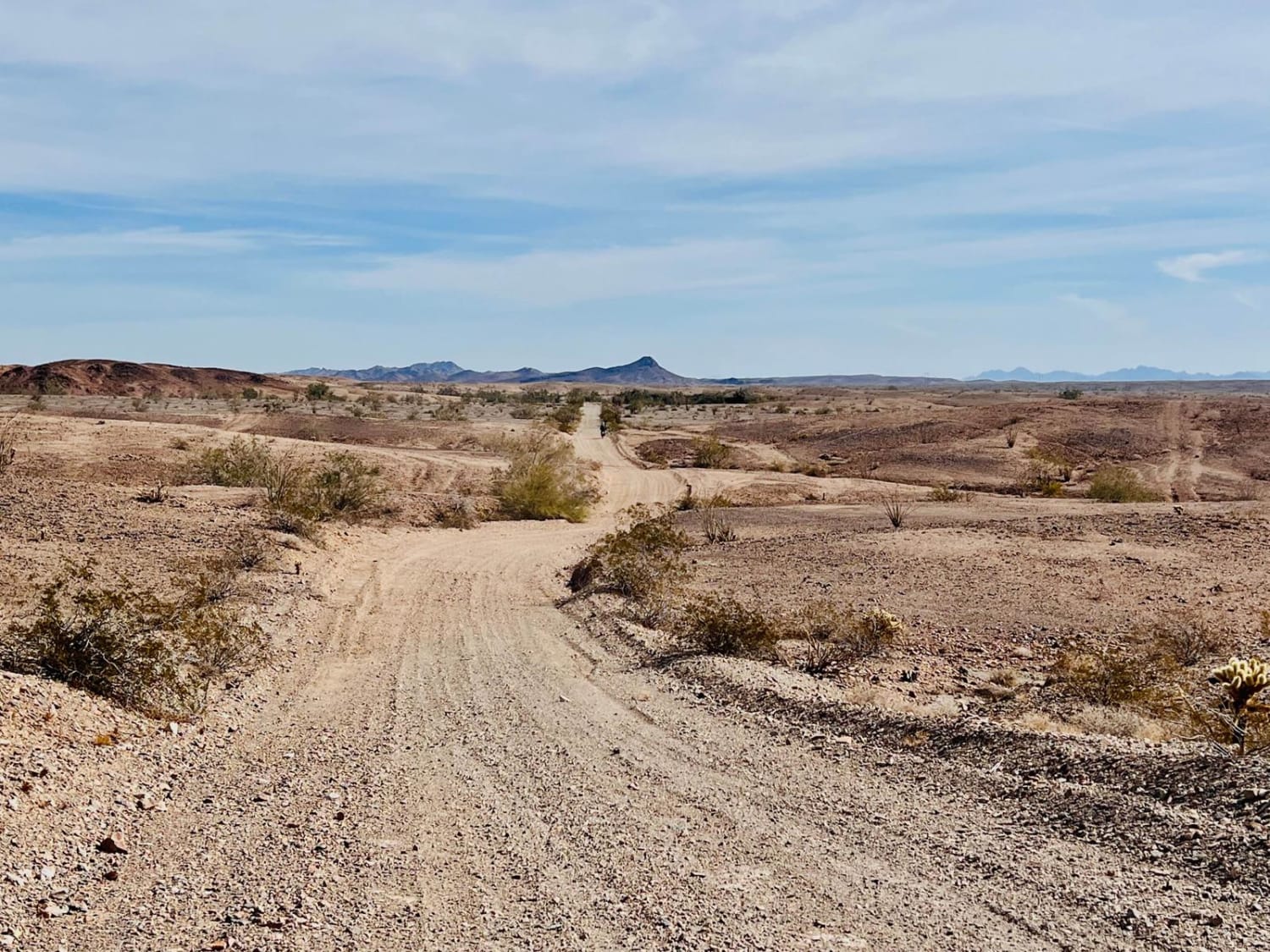
Lower Blythe Olgilby
Total Miles
16.6
Tech Rating
Easy
Best Time
Spring, Fall
Learn more about Lower City Highline Road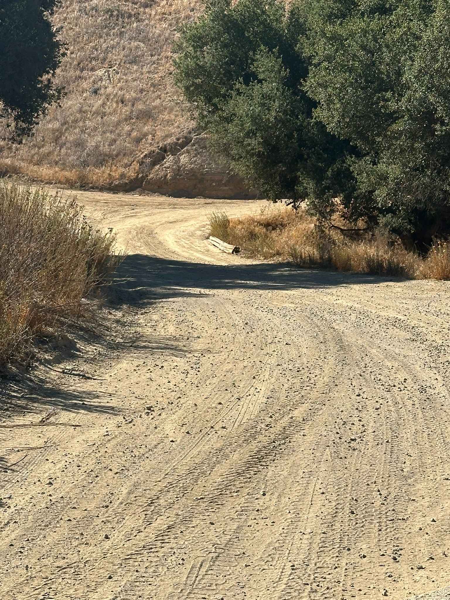
Lower City Highline Road
Total Miles
3.4
Tech Rating
Easy
Best Time
Spring, Summer, Fall, Winter
Learn more about Lower Corral Trail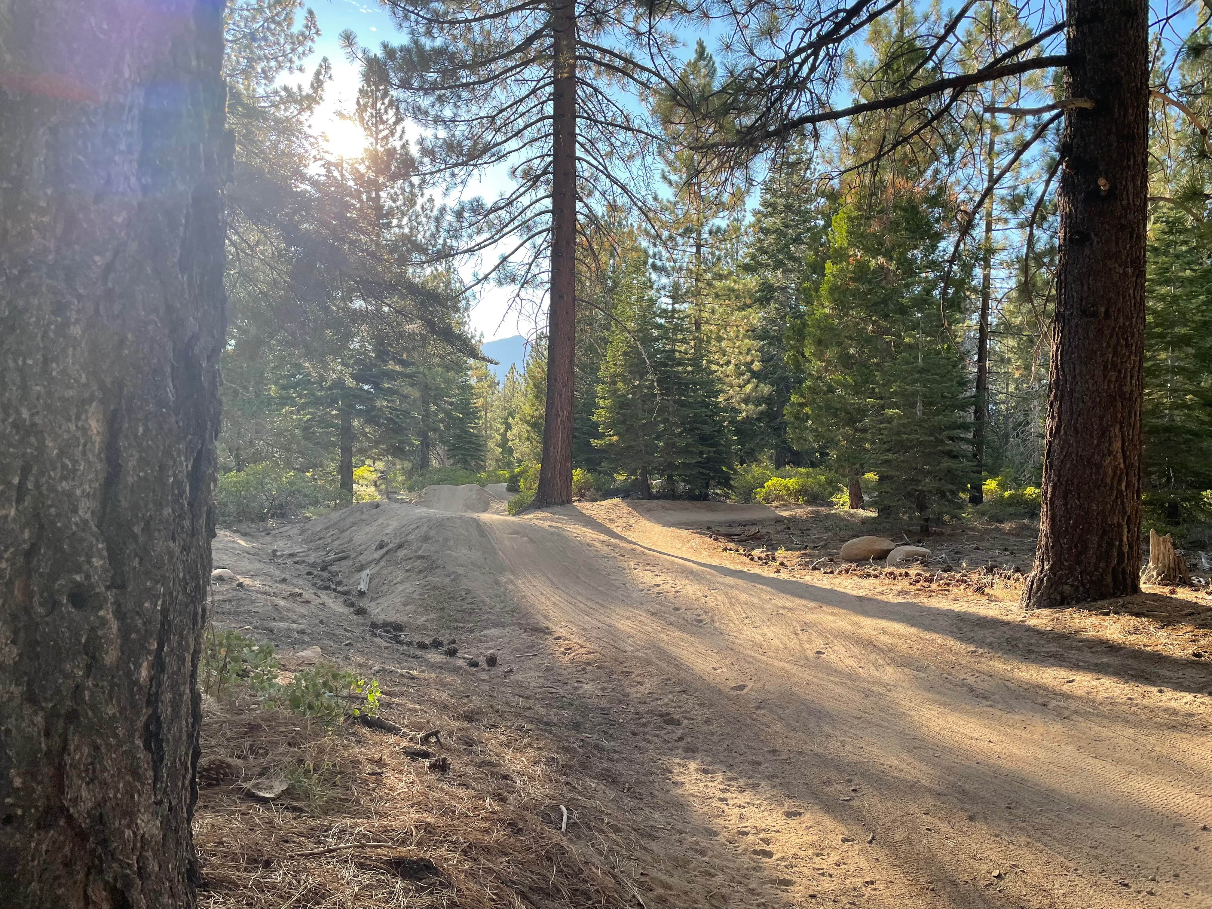
Lower Corral Trail
Total Miles
1.3
Tech Rating
Moderate
Best Time
Spring, Summer, Fall
Learn more about Lower Crowbar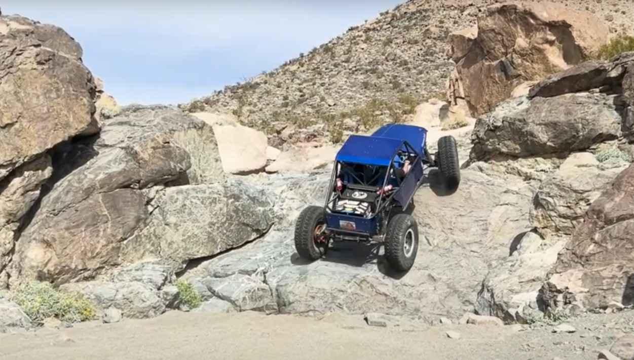
Lower Crowbar
Total Miles
1.2
Tech Rating
Difficult
Best Time
Spring, Summer, Fall, Winter
Learn more about Lower Deadman Bridge - FS 3S26
Lower Deadman Bridge - FS 3S26
Total Miles
4.4
Tech Rating
Moderate
Best Time
Fall, Summer
Learn more about Lower Indian Falls Ridge
Lower Indian Falls Ridge
Total Miles
3.4
Tech Rating
Easy
Best Time
Spring, Fall
Learn more about Lower Kessler Peak Trail
Lower Kessler Peak Trail
Total Miles
4.0
Tech Rating
Moderate
Best Time
Winter, Fall, Spring
Learn more about Lower Larga Flats 2N06X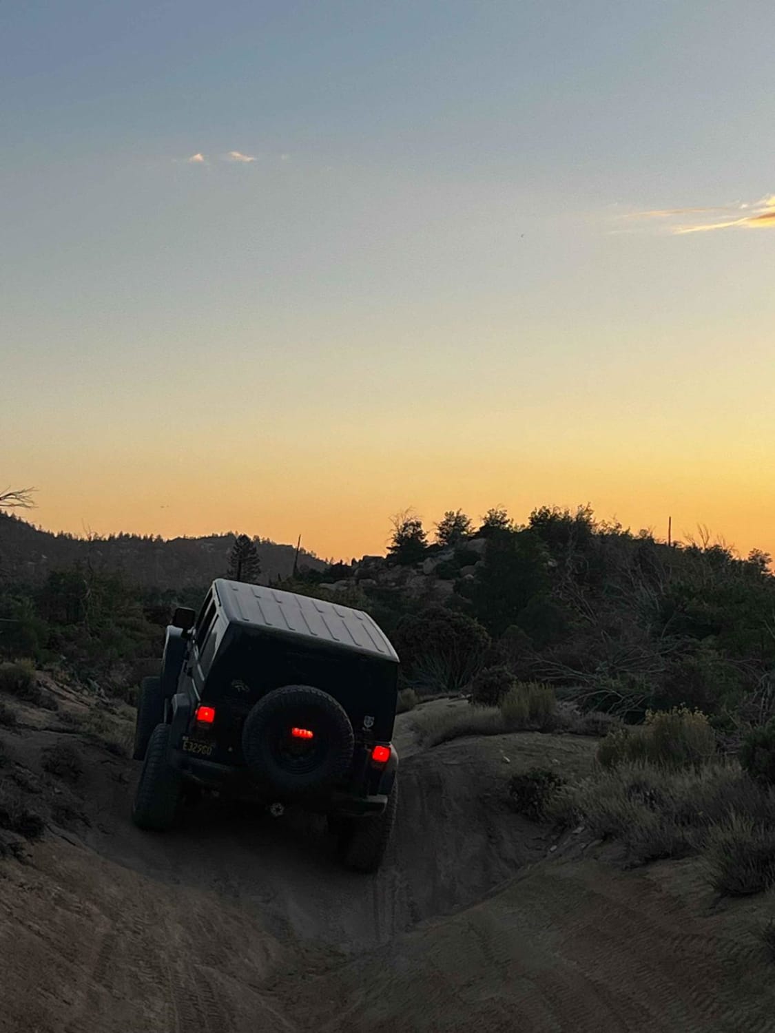
Lower Larga Flats 2N06X
Total Miles
3.2
Tech Rating
Moderate
Best Time
Summer, Fall, Spring, Winter
Learn more about Lower Line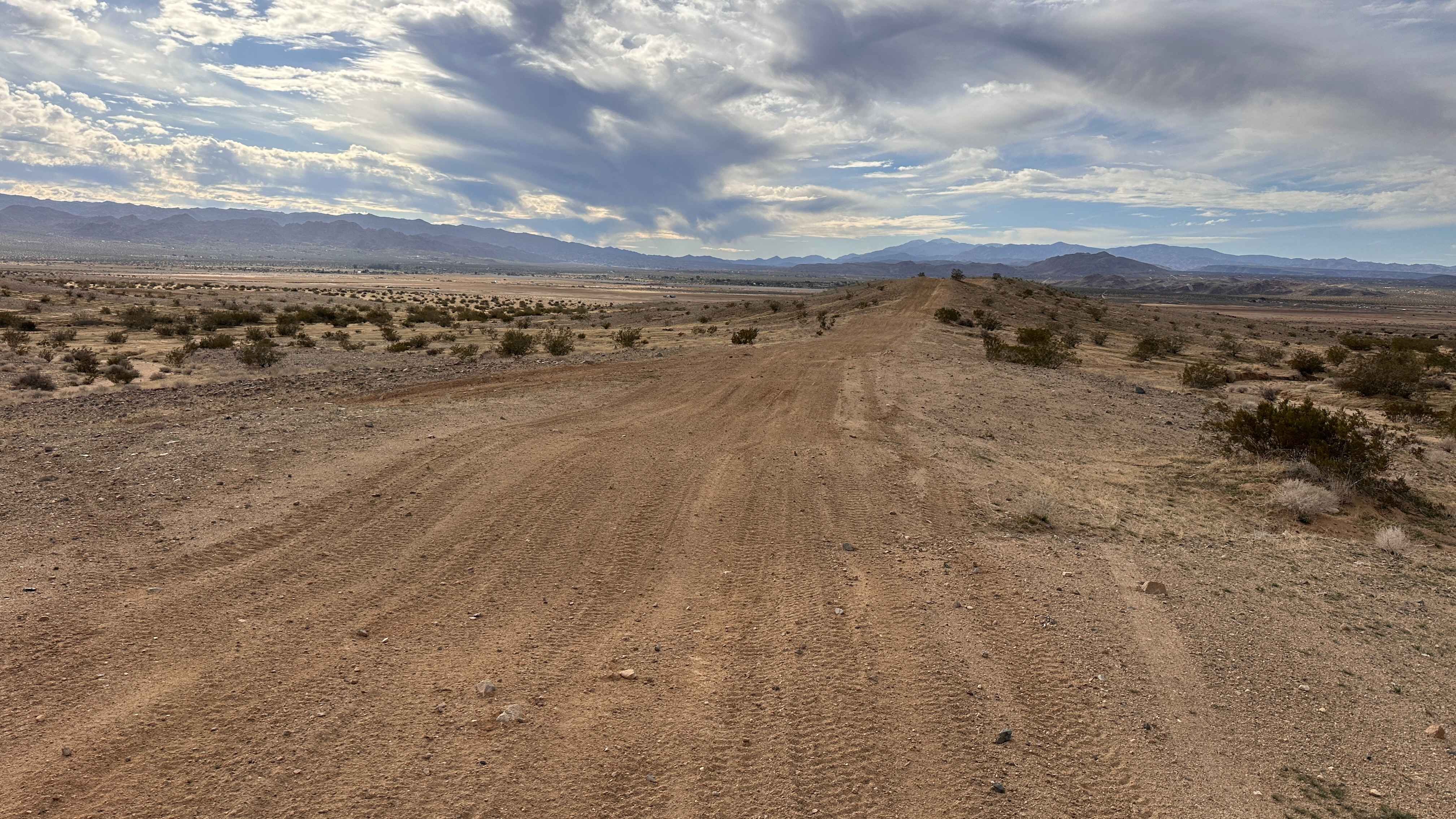
Lower Line
Total Miles
0.5
Tech Rating
Moderate
Best Time
Spring, Summer, Fall, Winter
Learn more about Lower Murano Road
Lower Murano Road
Total Miles
3.3
Tech Rating
Easy
Best Time
Winter, Fall, Spring
Learn more about Lower Speckerman Fire - FS 5S017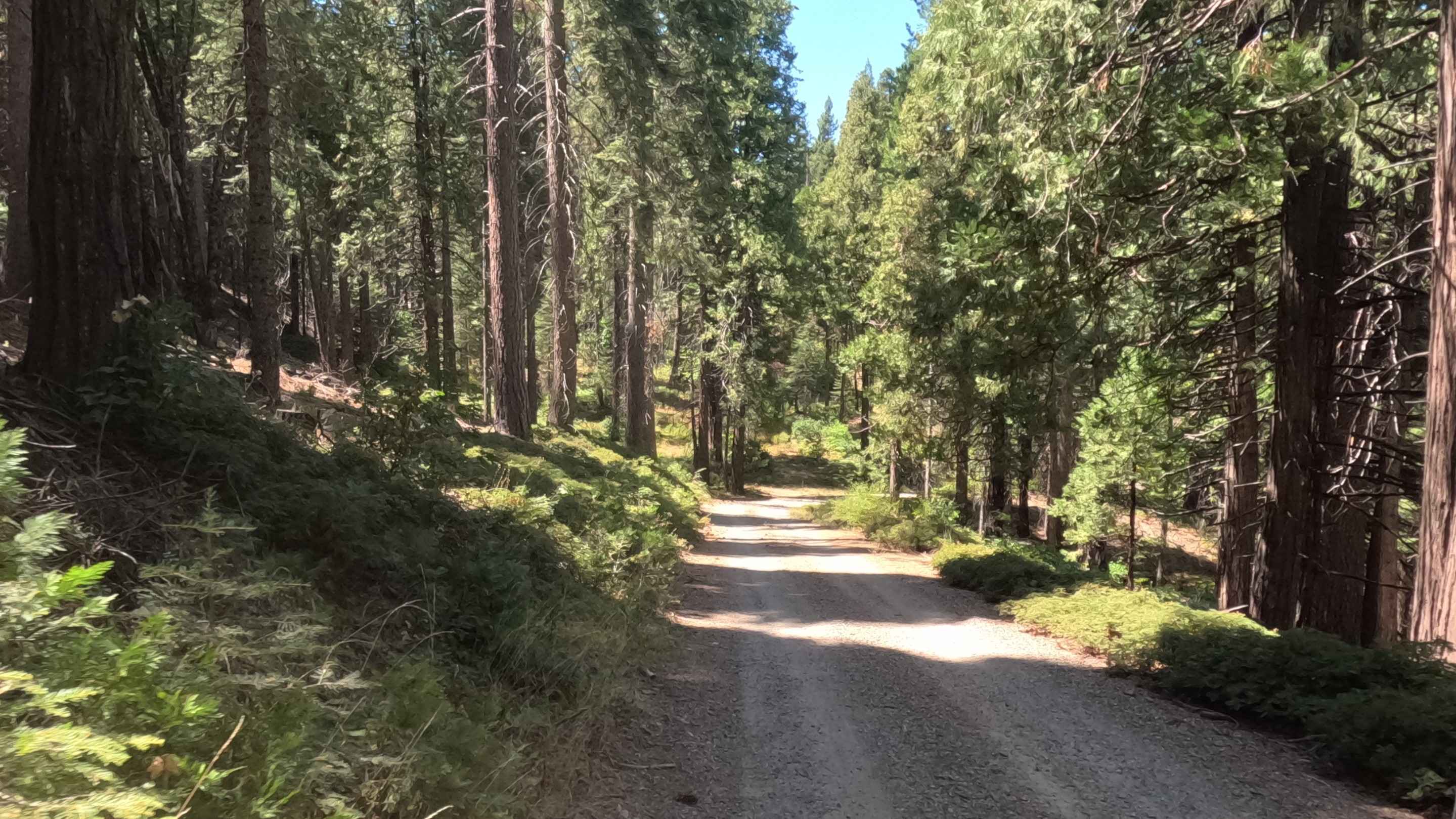
Lower Speckerman Fire - FS 5S017
Total Miles
4.0
Tech Rating
Easy
Best Time
Spring, Summer, Fall
Learn more about Lower Tamarack - FS 9S014
Lower Tamarack - FS 9S014
Total Miles
1.9
Tech Rating
Easy
Best Time
Summer, Fall
Learn more about Lower Tamarack - FS 9s026
Lower Tamarack - FS 9s026
Total Miles
2.1
Tech Rating
Easy
Best Time
Summer, Fall
ATV trails in California


UTV/side-by-side trails in California


Learn more about 3N267 Fenner Saddle (4N12)
3N267 Fenner Saddle (4N12)
Total Miles
3.8
Tech Rating
Difficult
Best Time
Spring, Summer, Fall, Winter

The onX Offroad Difference
onX Offroad combines trail photos, descriptions, difficulty ratings, width restrictions, seasonality, and more in a user-friendly interface. Available on all devices, with offline access and full compatibility with CarPlay and Android Auto. Discover what you’re missing today!