Lower Deadman Bridge - FS 3S26
Total Miles
4.4
Technical Rating
Best Time
Fall, Summer
Trail Type
Full-Width Road
Accessible By
Trail Overview
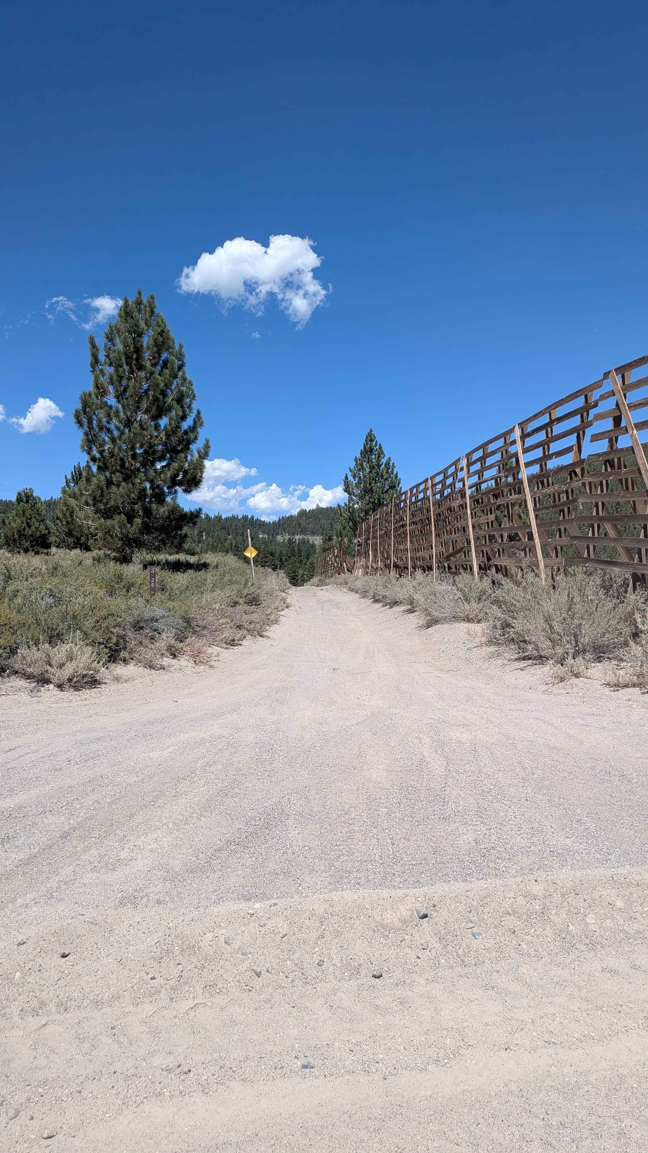
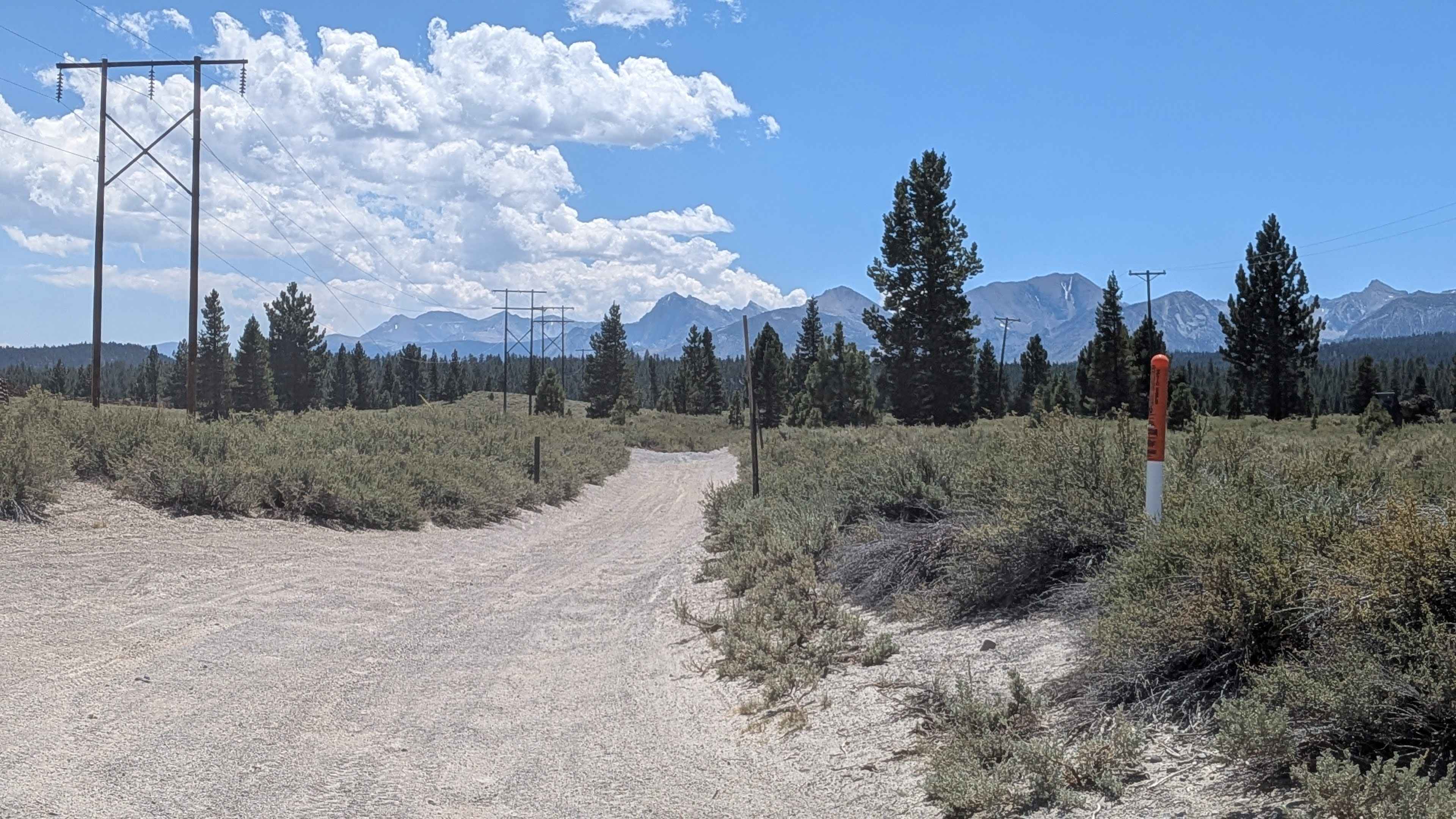
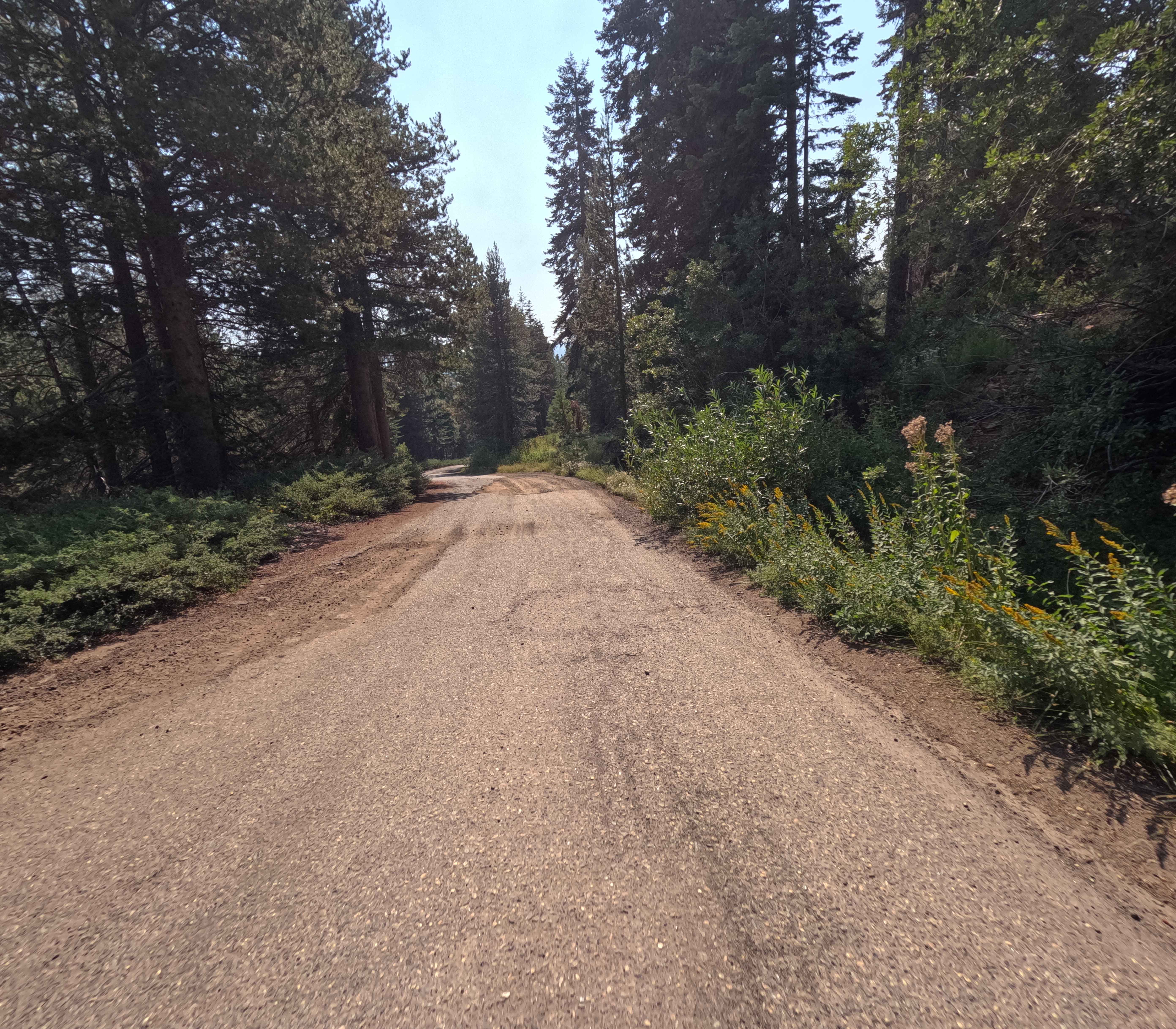
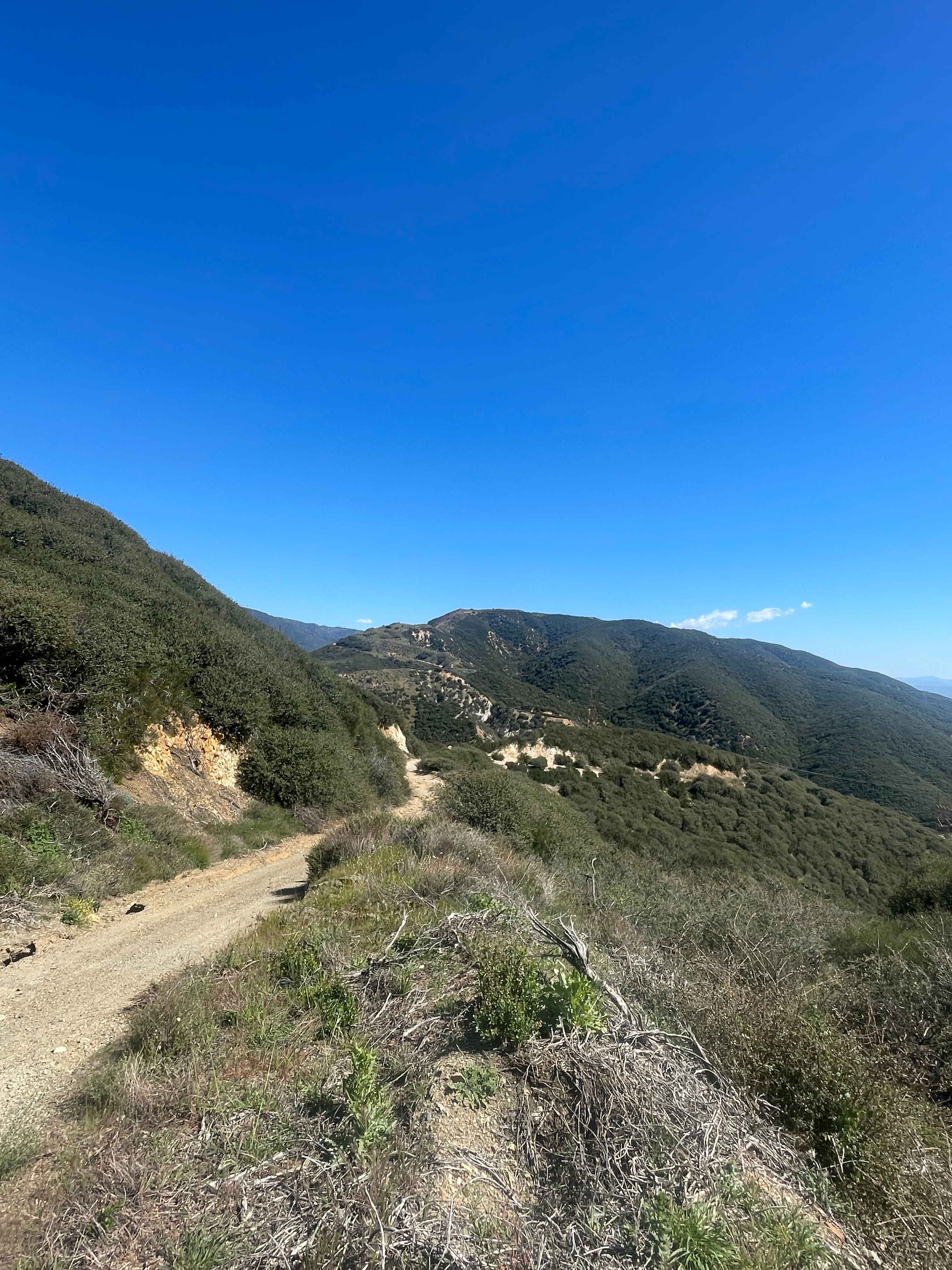
This rugged trail runs parallel to Highway 395 and can be accessed near Mammoth Scenic Loop on the south end, as well as from 27E107. Stretching just over 4 miles, it climbs 368 feet and drops 187 feet, offering a mix of challenging terrain and scenic views. The trail follows the power lines and provides incredible views of the Eastern Sierra, including Deadman's Pass, Obsidian Dome, Mammoth Mountain, and Mount Morrison. The trail surface is dominated by ruts, whoops, and off-camber sections caused by heavy side-by-side use. On the north side, the route begins with a very steep downhill covered in pumice, sand, and loose rocks, including some basketball-sized obstacles. Throughout the trail, there are multiple steep uphills and downhills, several short shelf roads, and narrow sections lined with trees that may be difficult for full-size vehicles to squeeze through.
Photos of Lower Deadman Bridge - FS 3S26
Difficulty
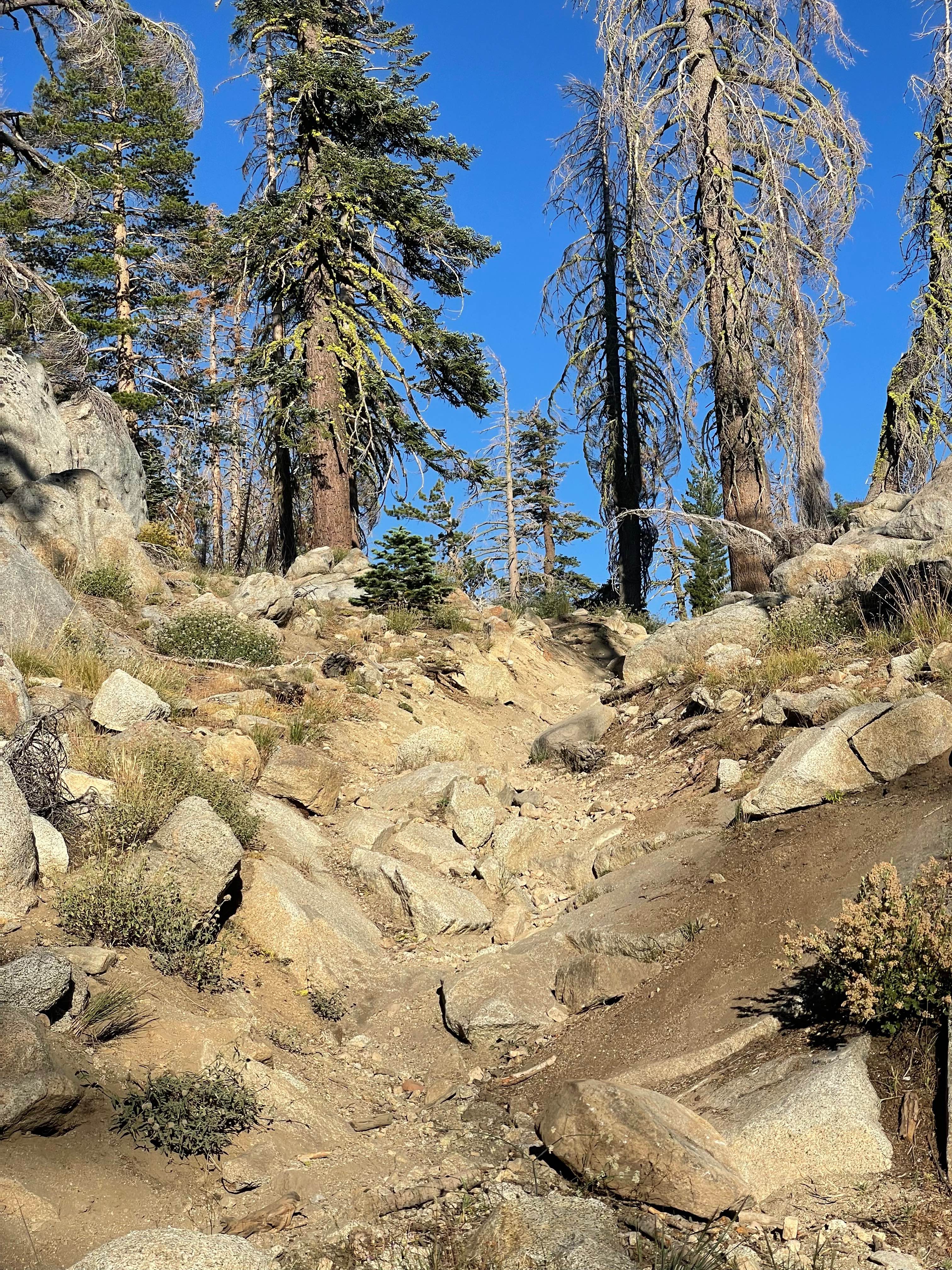
This is a rough and technical trail with deep whoops, steep grades, shelf roads, loose pumice, and large rocks to navigate. A high-clearance 4x4 vehicle is required, and drivers should expect body and suspension shaking terrain. Full-size rigs may struggle in narrow tree-lined sections. Not recommended for beginners. Coming from the North, at mile 2.5, the deep whoops ease up, giving way to washboards and steep climbs. At mile 3.5, another steep downhill with basketball-sized rocks demands careful tire placement. Around mile 3.7, the large whoops return with added challenges of tight trees and a tough climb. The trail finally opens up near mile 4, though deep ruts continue to test suspension and clearance.
Status Reports
Lower Deadman Bridge - FS 3S26 can be accessed by the following ride types:
- High-Clearance 4x4
- SUV
- SxS (60")
- ATV (50")
- Dirt Bike
Lower Deadman Bridge - FS 3S26 Map
Popular Trails
Rock Creek Road - FS 9S090
Buck Pasture Trail (East)

Dry Creek Knoll Side Spur - 3S110B
Old Cc Spur - 2N57
The onX Offroad Difference
onX Offroad combines trail photos, descriptions, difficulty ratings, width restrictions, seasonality, and more in a user-friendly interface. Available on all devices, with offline access and full compatibility with CarPlay and Android Auto. Discover what you’re missing today!