Lower Beasore - FS 5S093
Total Miles
3.8
Technical Rating
Best Time
Summer, Fall
Trail Type
Full-Width Road
Accessible By
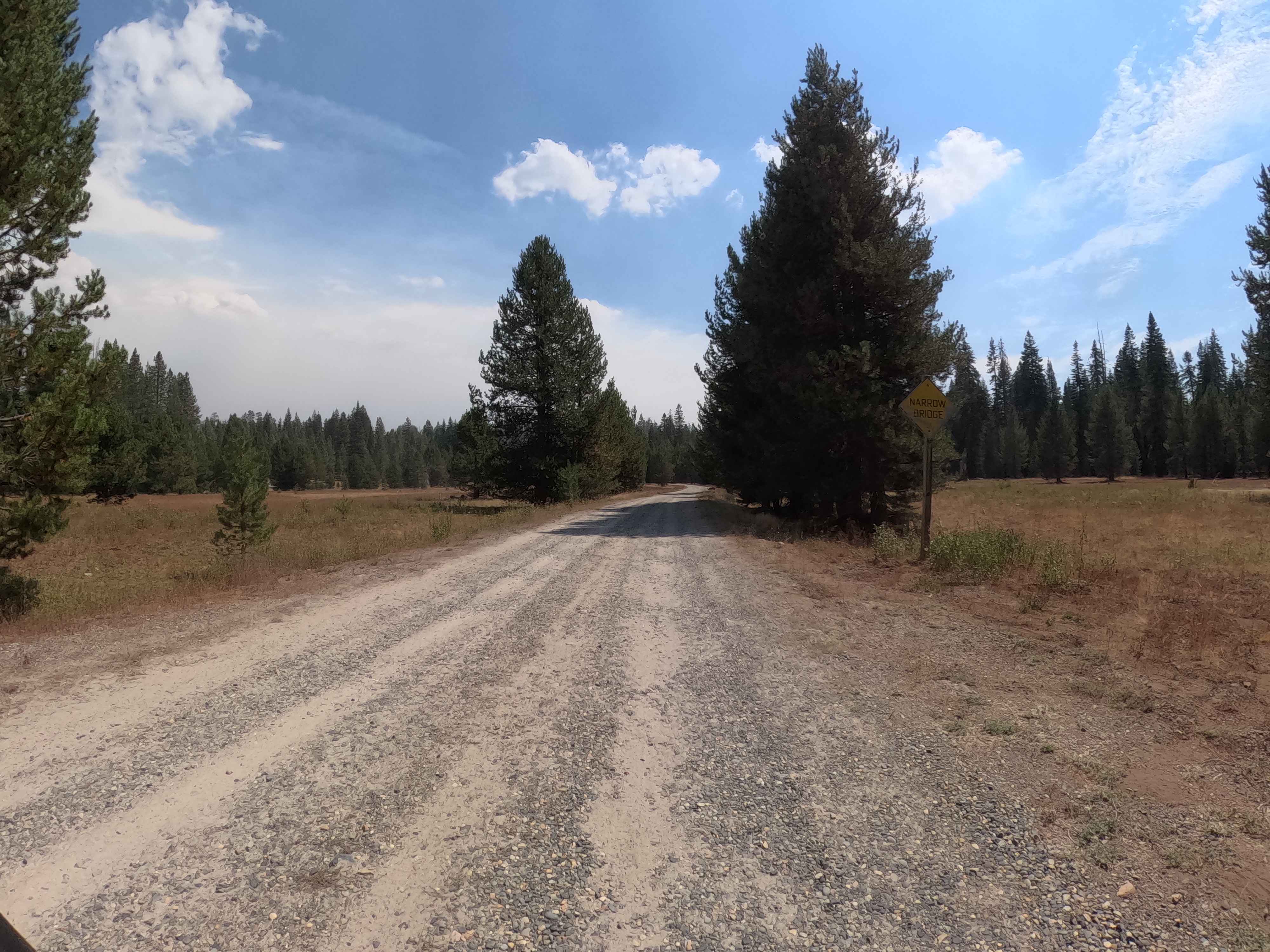
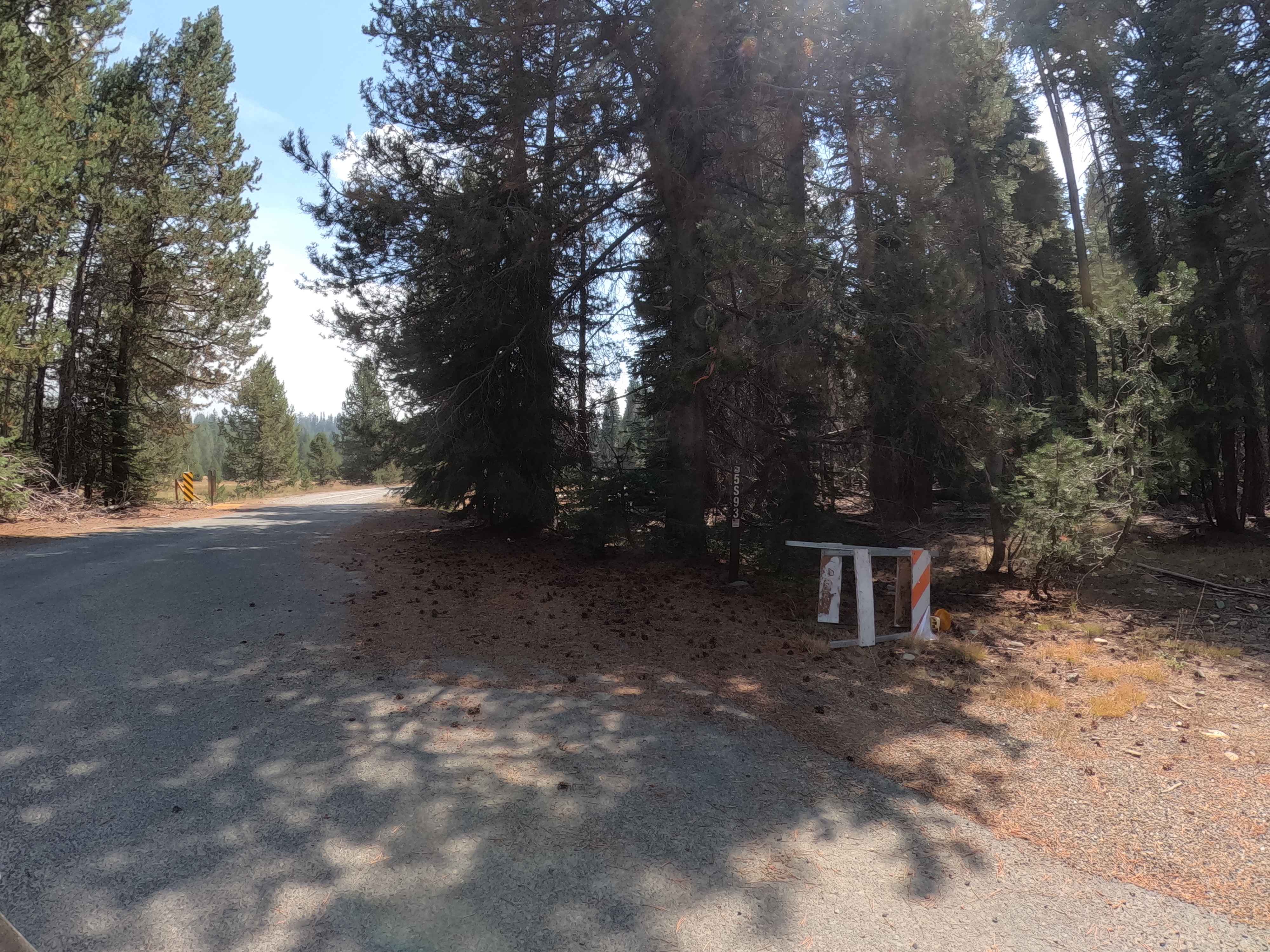
Trail Overview
This 3.81-mile Forest Service road is a fantastically smooth and relaxing drive, acting as a stress-free connector between the main Beasore Road (FS 5S07) and Kate's Camp Road (FS 5S015). The route is characterized by its wide, well-maintained surface composed mostly of natural dirt and gravel. It winds gently through a healthy, sun-dappled pine forest that feels worlds away from the rougher technical trails nearby. Drivers can maintain a comfortable pace (averaging approximately 15 mph), enjoying the scenery of open meadows and tall timber. This is the perfect route for a "Sunday drive" vibe or for accessing the historic mining areas tucked away in the woods, such as the nearby Strathsbourg and North McSwain mines.
Photos of Lower Beasore - FS 5S093
Difficulty
This Forest Service road is the definition of a Rating 1. The surface is wide, consistent, and mostly free of obstacles. There are no significant ruts, rocks, or steep grades that would challenge a standard vehicle. Any passenger car (sedan, crossover, or truck) can navigate this route with ease when dry. It serves as a primary forest arterial road, maintained to a standard that allows for two-way traffic in most spots and higher travel speeds. It is purely a transit and scenic route, requiring no 4WD or special clearance.
Status Reports
Lower Beasore - FS 5S093 can be accessed by the following ride types:
- High-Clearance 4x4
- SUV
Lower Beasore - FS 5S093 Map
Popular Trails

Superstition Mountain South

Mountain Top - FS 9S040A
Nightmare
The onX Offroad Difference
onX Offroad combines trail photos, descriptions, difficulty ratings, width restrictions, seasonality, and more in a user-friendly interface. Available on all devices, with offline access and full compatibility with CarPlay and Android Auto. Discover what you’re missing today!