Mountain Top - FS 9S040A
Total Miles
0.7
Technical Rating
Best Time
Summer, Fall
Trail Type
Full-Width Road
Accessible By
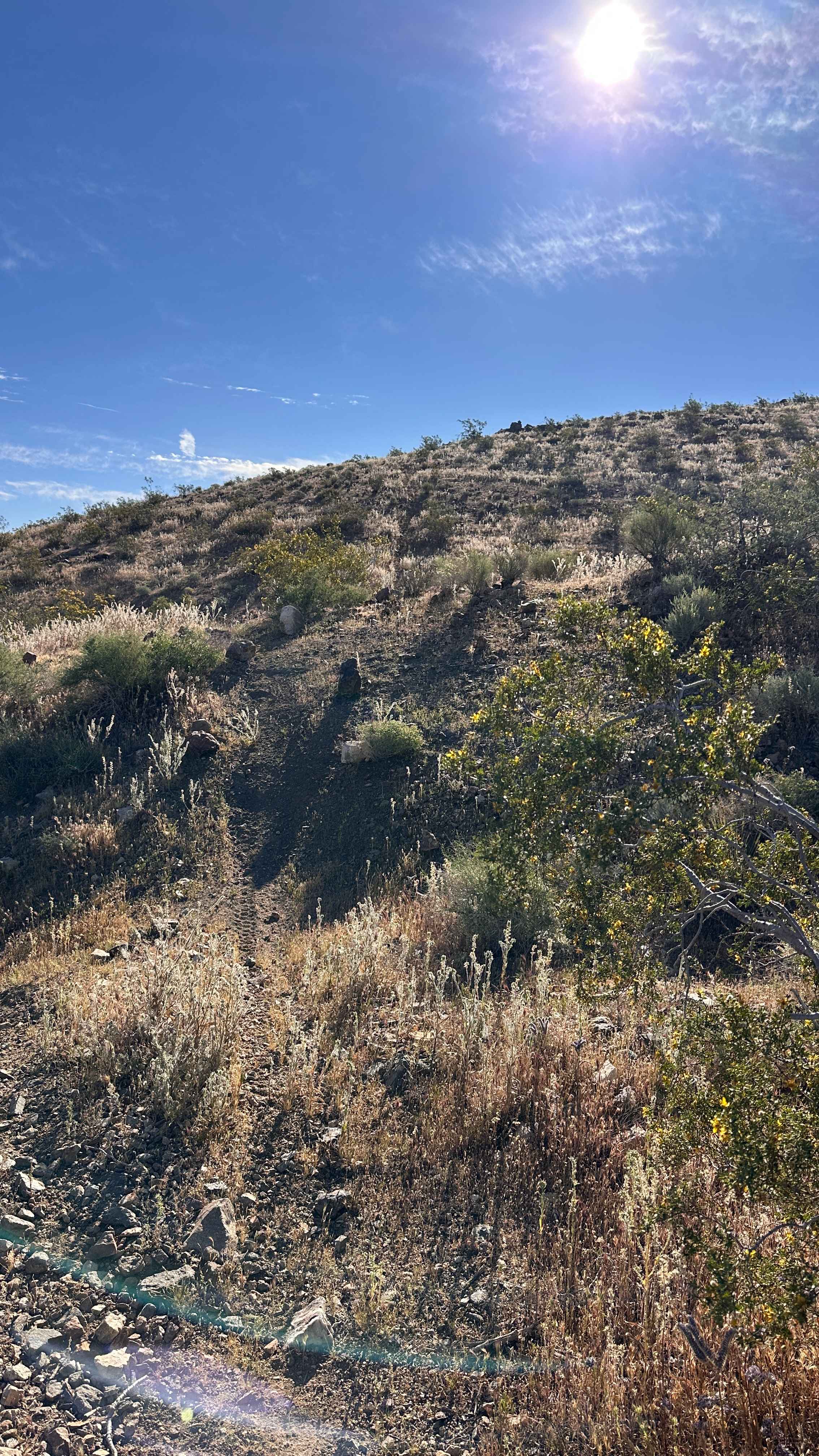
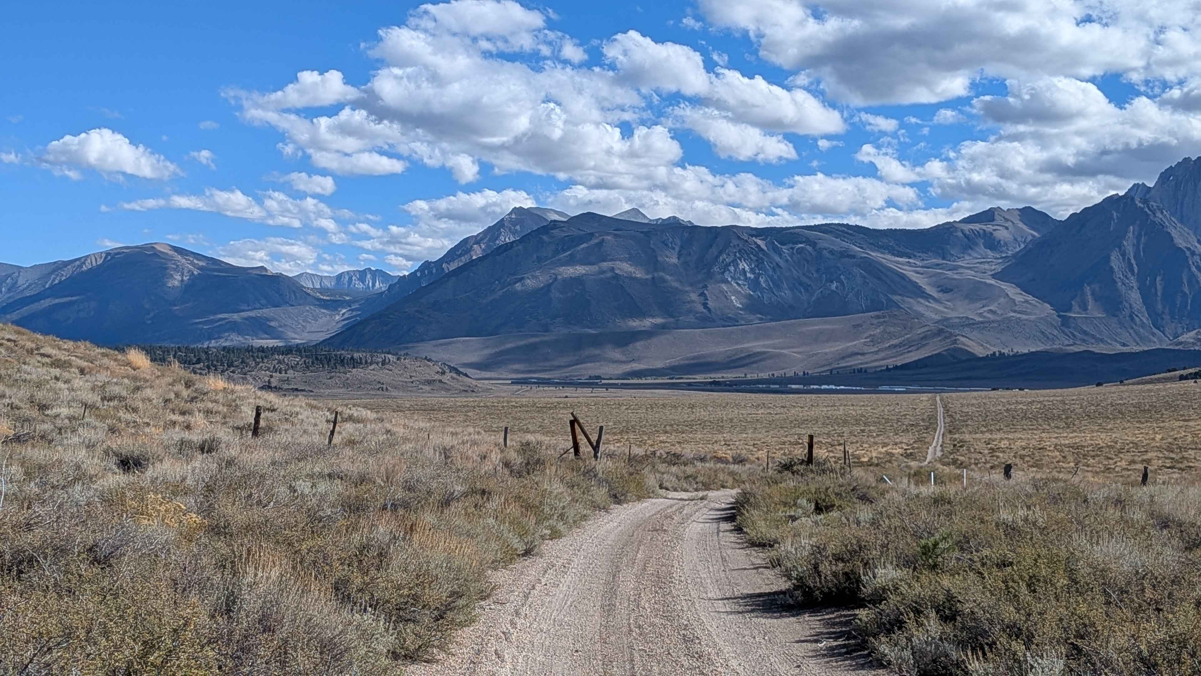
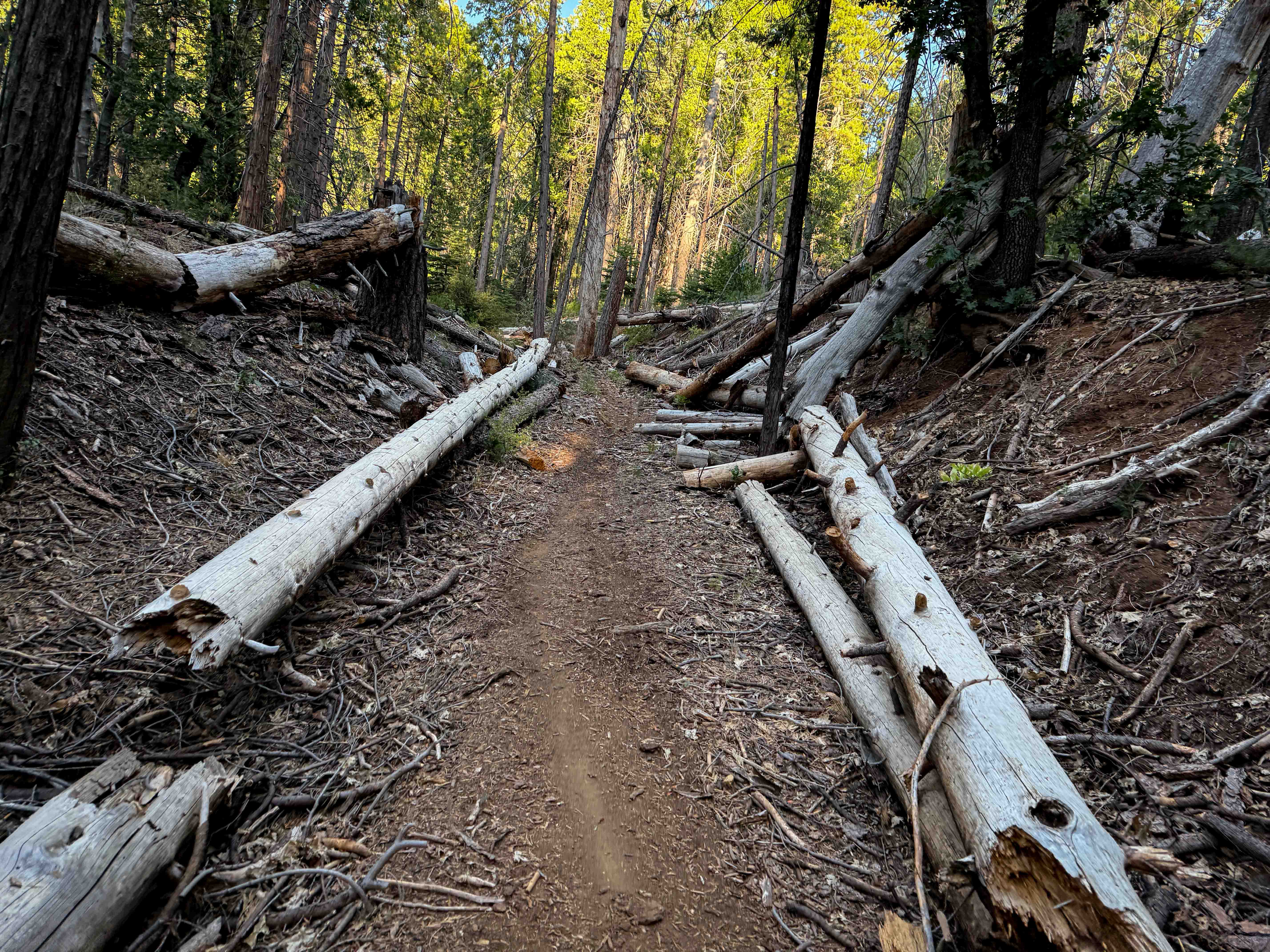
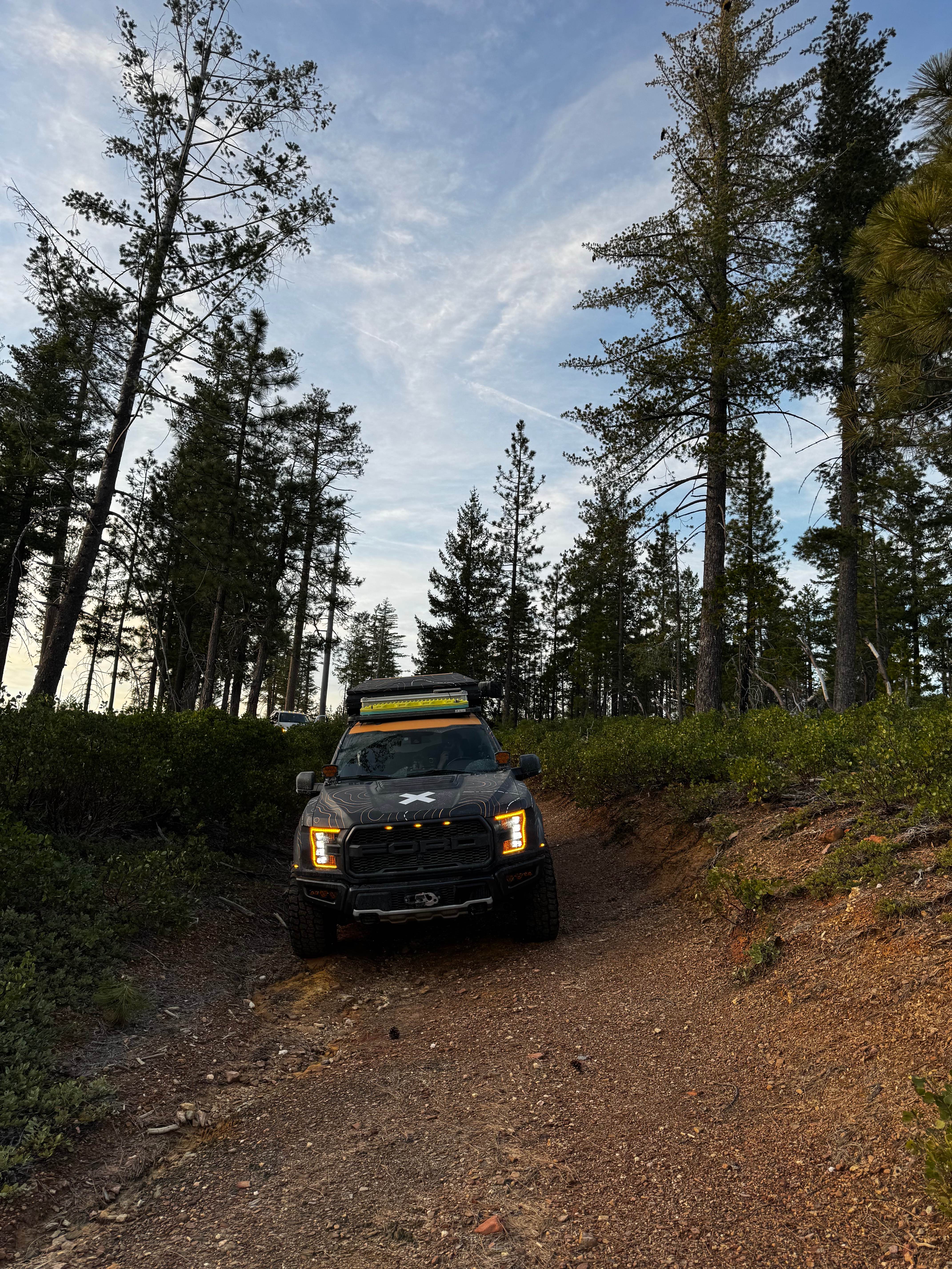
Trail Overview
This 0.7-mile trail is a high-elevation, single-lane Forest Service road that connects the top of Lodgepole over to Bawdy around the peak of Tamarack Mountain. The entire trail traverses a highly exposed landscape within the 2020 Creek Wildfire burn scar, creating dramatic vistas but eliminating most overhead canopy. The roadbed is wide and graded, consisting mostly of dirt and a few scattered sections of loose gravel; however, frequent sections of occasional embedded rock justify a reduction in speed for comfort. This trail sits at approximately 7,800 feet in elevation, so it will be covered in snow much of the year. The best time to visit is during the summer and fall.
Photos of Mountain Top - FS 9S040A


Difficulty
This trail is navigable by all passenger vehicles when dry, requiring no technical 4WD skill. The Rating 2 is assigned solely because of the intermittent embedded rock clusters that necessitate high clearance to maintain tire safety and passenger comfort during the fast traverse. The challenge isn't articulation, but avoiding potential damage from the widely scattered, sharp rocks.
Status Reports
Mountain Top - FS 9S040A can be accessed by the following ride types:
- High-Clearance 4x4
- SUV
Mountain Top - FS 9S040A Map
Popular Trails
Broken Spur Offshoot
Claypit Cutoff - FS 3S07
American Hill Mine
The onX Offroad Difference
onX Offroad combines trail photos, descriptions, difficulty ratings, width restrictions, seasonality, and more in a user-friendly interface. Available on all devices, with offline access and full compatibility with CarPlay and Android Auto. Discover what you’re missing today!