Off-Road Trails in California
Discover off-road trails in California
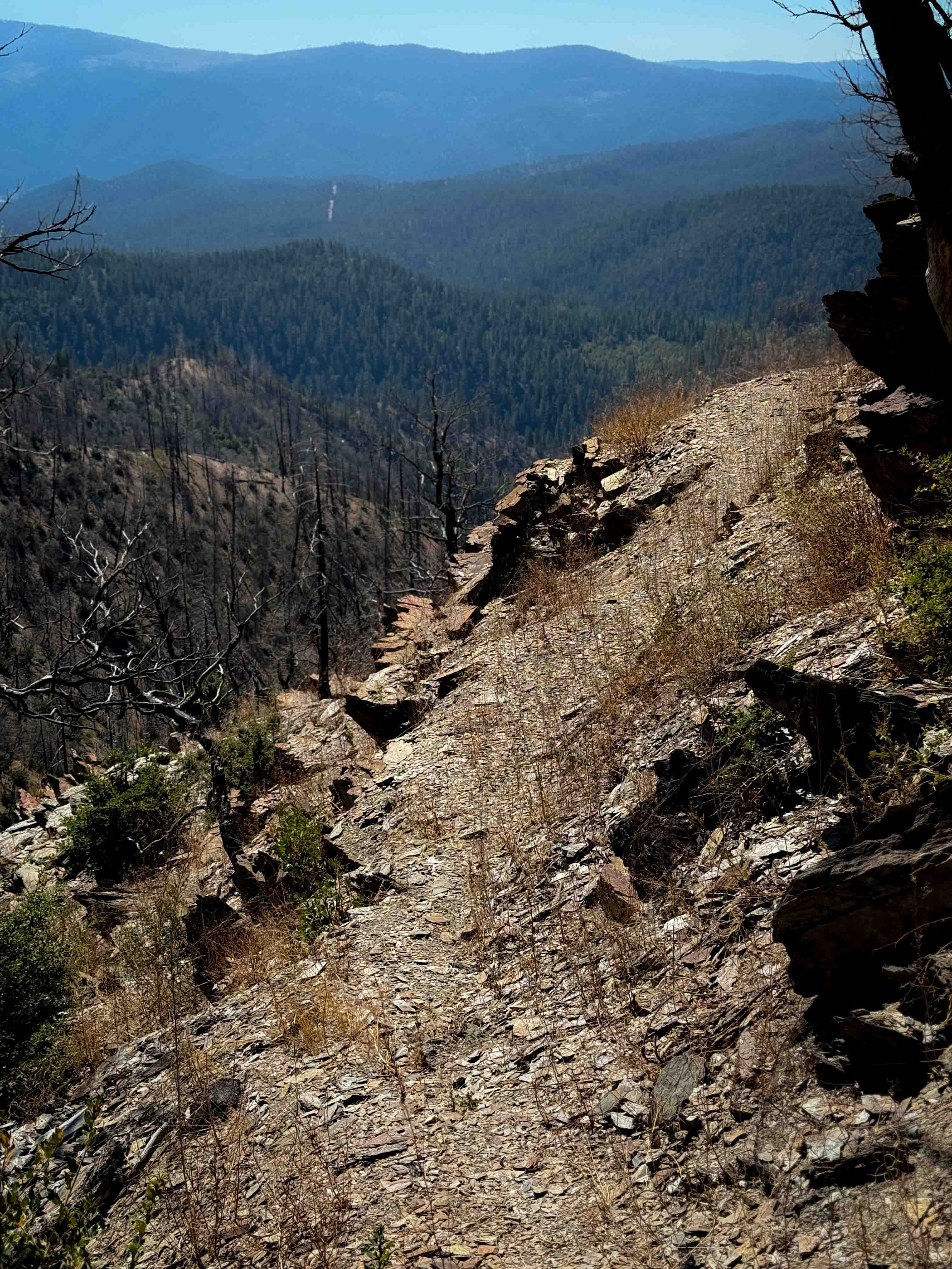
Learn more about Kayla's Mountain Trail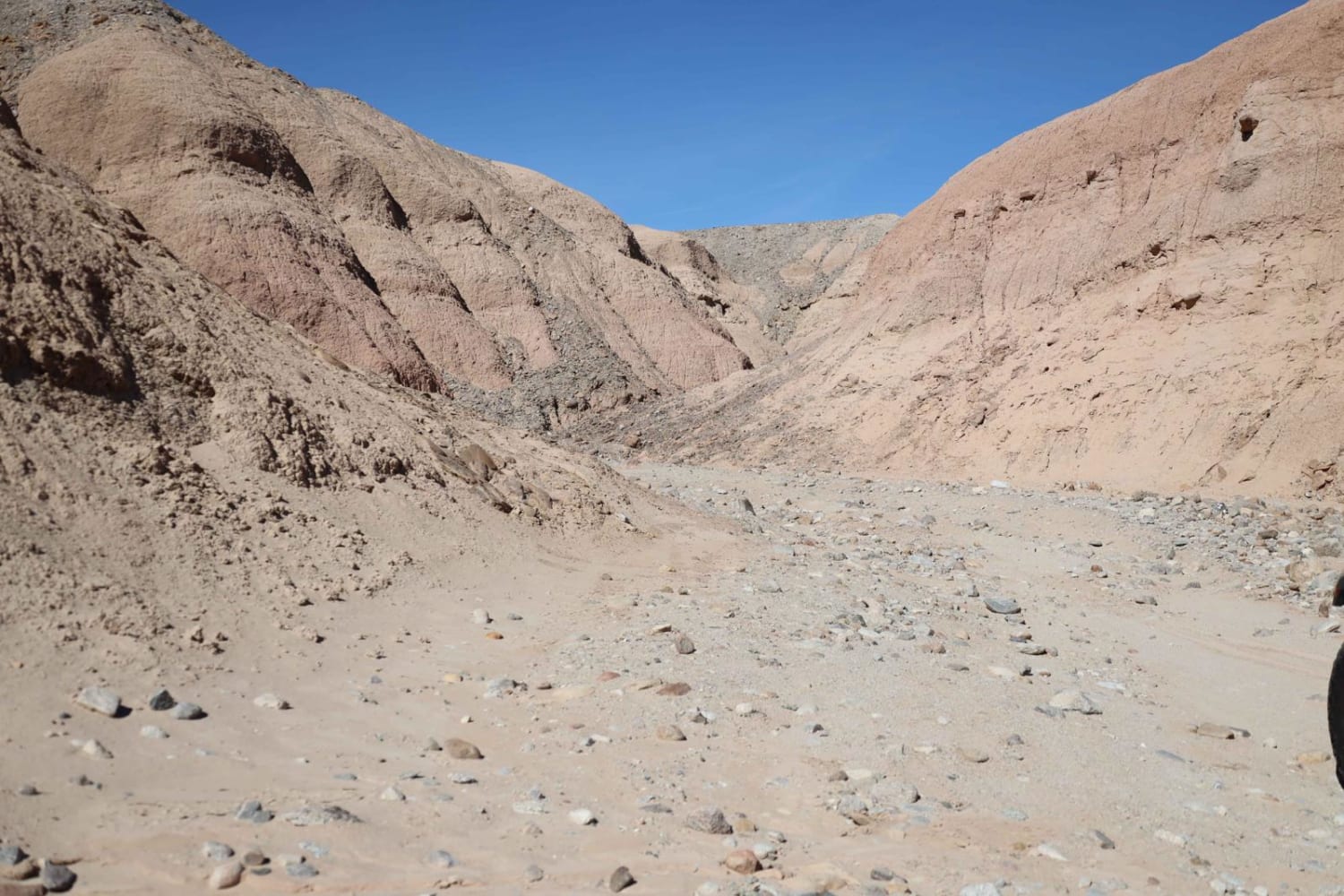
Kayla's Mountain Trail
Total Miles
0.7
Tech Rating
Moderate
Best Time
Spring, Winter, Fall, Summer
Learn more about Kern Canyon 31E75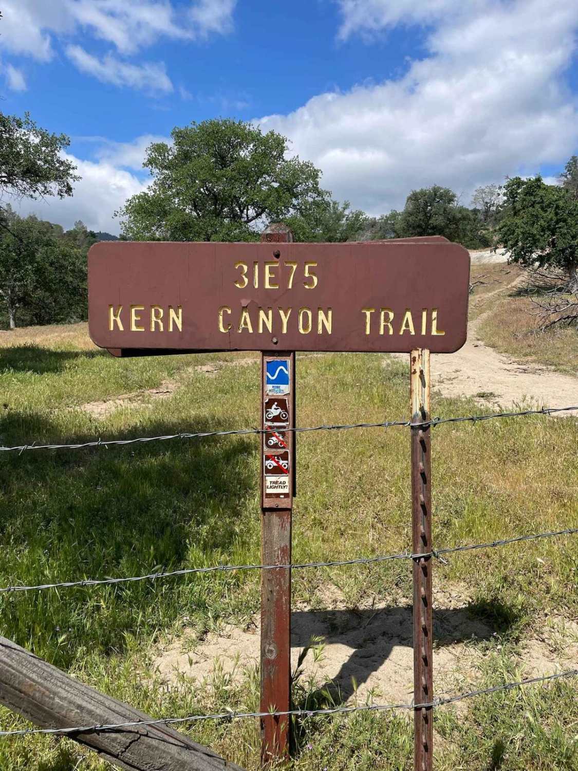
Kern Canyon 31E75
Total Miles
10.8
Tech Rating
Moderate
Best Time
Summer, Fall
Learn more about Kern River Getaway - 27S30
Kern River Getaway - 27S30
Total Miles
1.9
Tech Rating
Easy
Best Time
Spring, Summer, Fall
Learn more about Kings Veto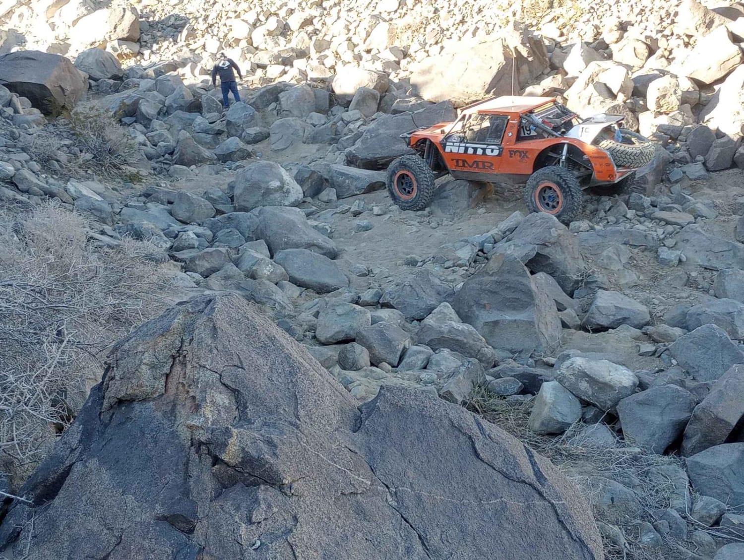
Kings Veto
Total Miles
0.2
Tech Rating
Extreme
Best Time
Summer, Fall, Winter, Spring
Learn more about Kiss The Boundary
Kiss The Boundary
Total Miles
3.9
Tech Rating
Easy
Best Time
Winter, Fall, Spring
Learn more about Knickerbocker - FS 2N08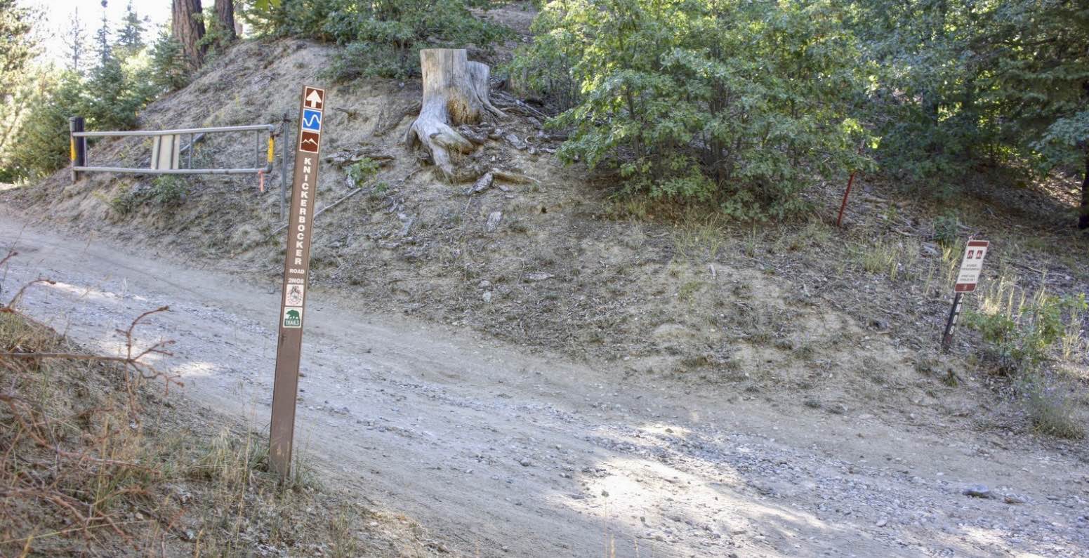
Knickerbocker - FS 2N08
Total Miles
4.0
Tech Rating
Easy
Best Time
Spring, Summer, Fall
Learn more about Kona's Crossing
Kona's Crossing
Total Miles
12.8
Tech Rating
Moderate
Best Time
Fall, Summer
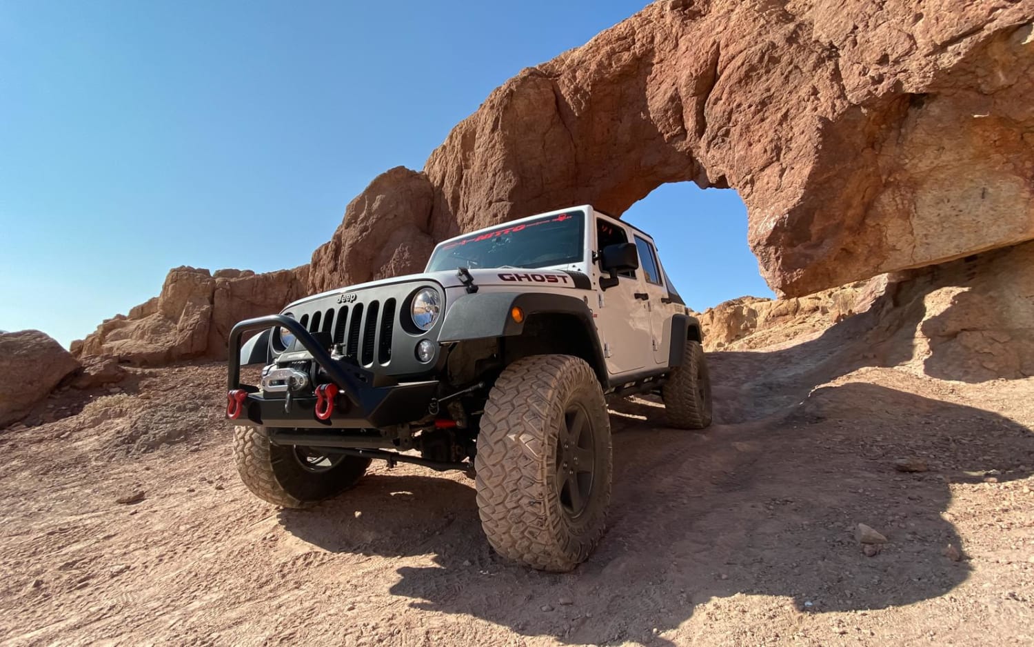
Learn more about Kramer Arch Side Trail
Kramer Arch Side Trail
Total Miles
0.8
Tech Rating
Moderate
Best Time
Spring, Fall, Winter
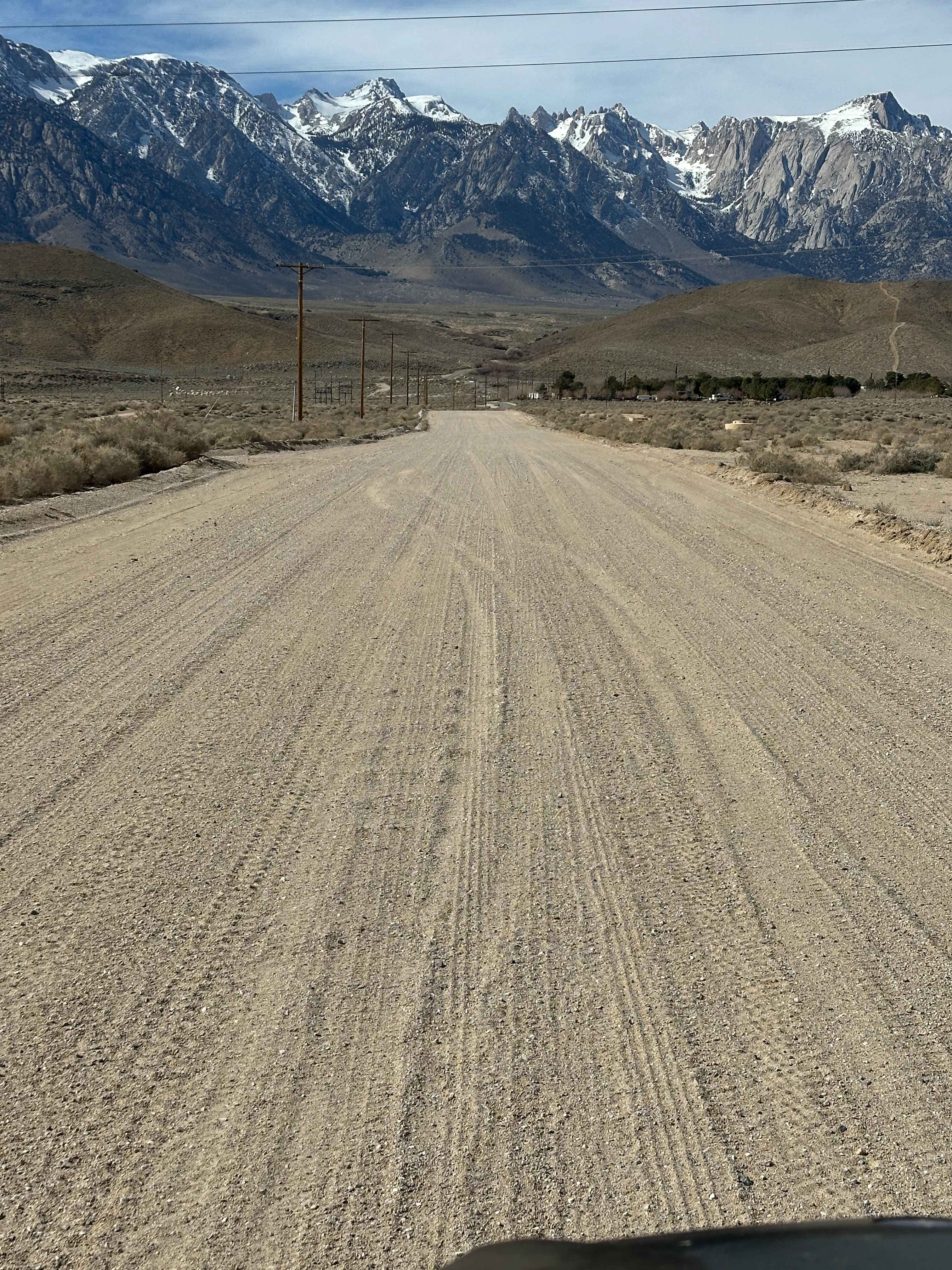
Learn more about LA Aqueduct Road to Alphie Springs Road
LA Aqueduct Road to Alphie Springs Road
Total Miles
5.6
Tech Rating
Easy
Best Time
Spring, Fall, Winter
Learn more about La Colorado Mine
La Colorado Mine
Total Miles
1.1
Tech Rating
Easy
Best Time
Spring, Fall, Winter
Learn more about La Gloria Road
La Gloria Road
Total Miles
11.4
Tech Rating
Easy
Best Time
Spring, Summer, Fall
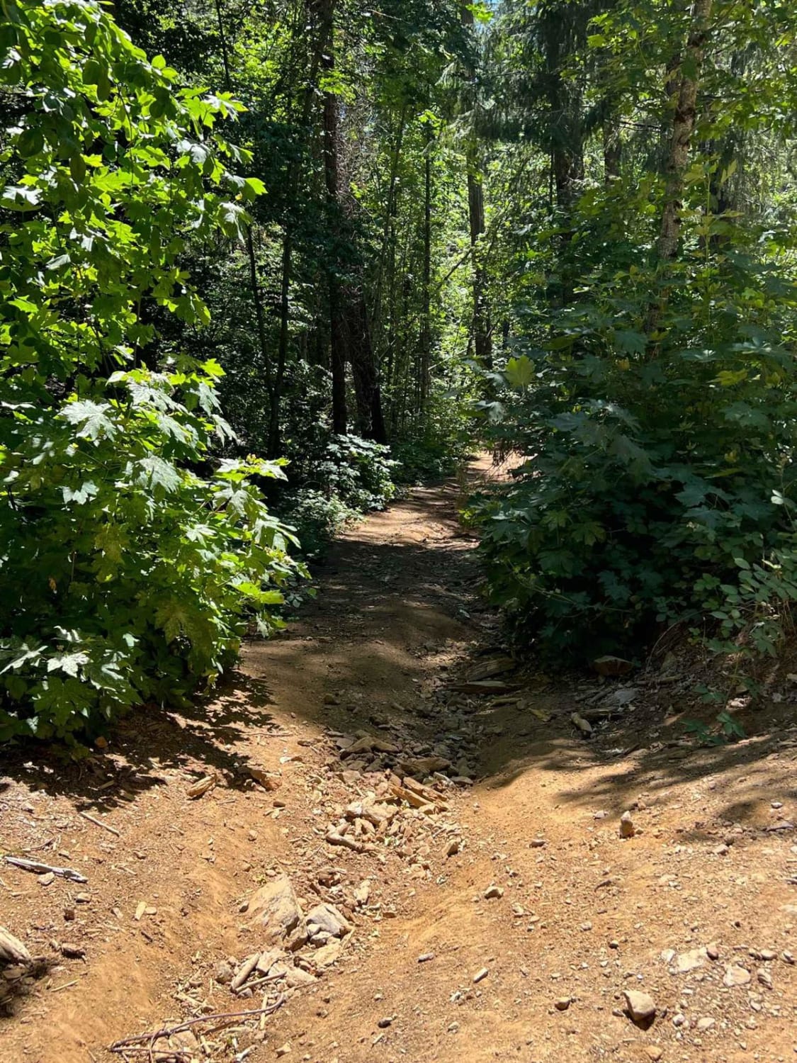
Learn more about LaBrosse Creek Road - FS 32176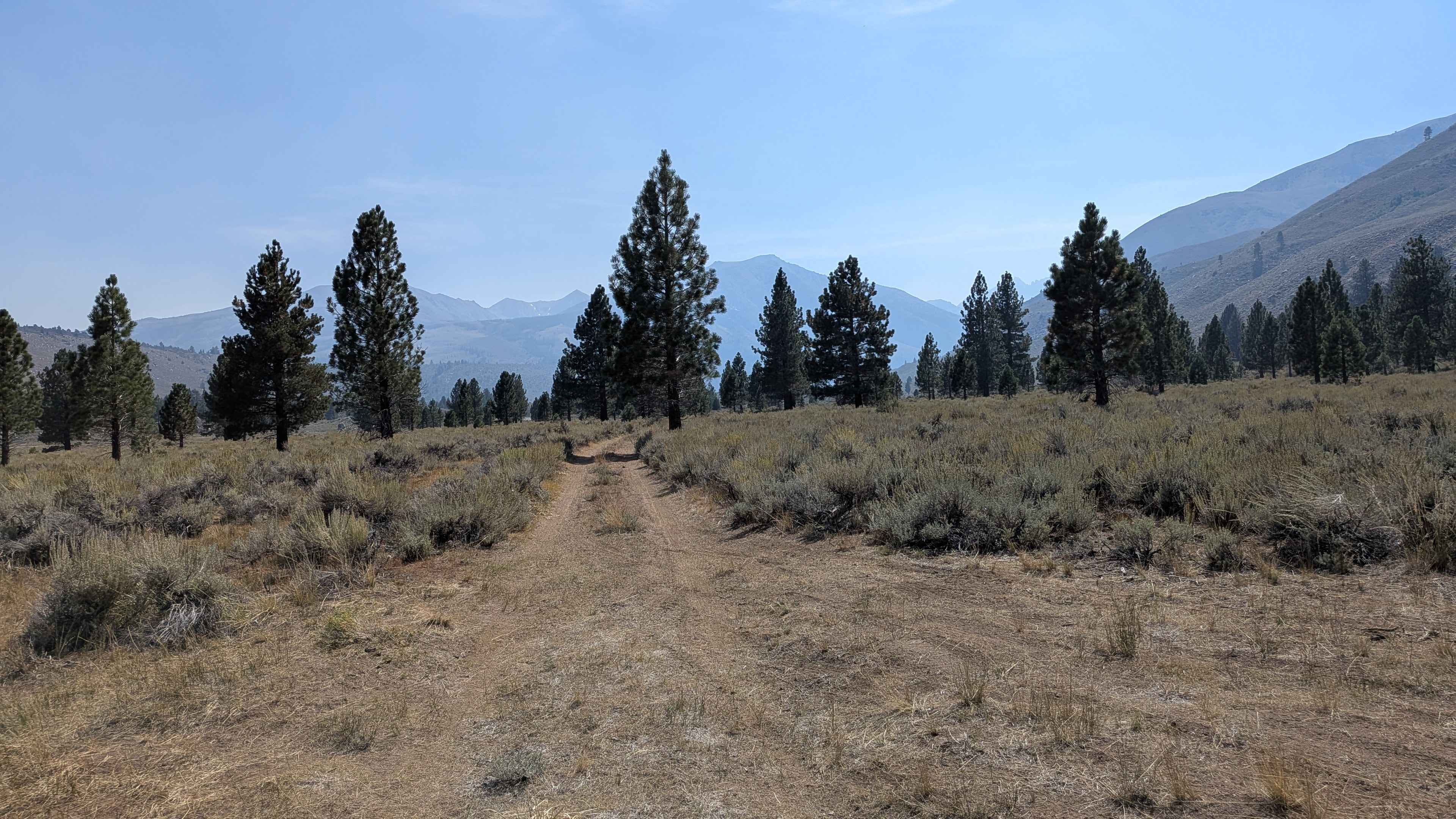
LaBrosse Creek Road - FS 32176
Total Miles
1.4
Tech Rating
Easy
Best Time
Summer, Fall, Spring
ATV trails in California


UTV/side-by-side trails in California


Learn more about 3N267 Fenner Saddle (4N12)
3N267 Fenner Saddle (4N12)
Total Miles
3.8
Tech Rating
Difficult
Best Time
Spring, Summer, Fall, Winter

The onX Offroad Difference
onX Offroad combines trail photos, descriptions, difficulty ratings, width restrictions, seasonality, and more in a user-friendly interface. Available on all devices, with offline access and full compatibility with CarPlay and Android Auto. Discover what you’re missing today!