Off-Road Trails in California
Discover off-road trails in California
Learn more about Hole in the Wall Canyon
Hole in the Wall Canyon
Total Miles
6.1
Tech Rating
Easy
Best Time
Spring, Summer, Fall
Learn more about Hollister Hills SVRA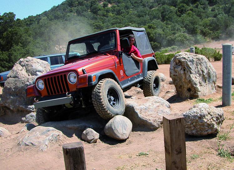
Hollister Hills SVRA
Total Miles
0.6
Tech Rating
Moderate
Best Time
Summer
Learn more about Holmes Camp Road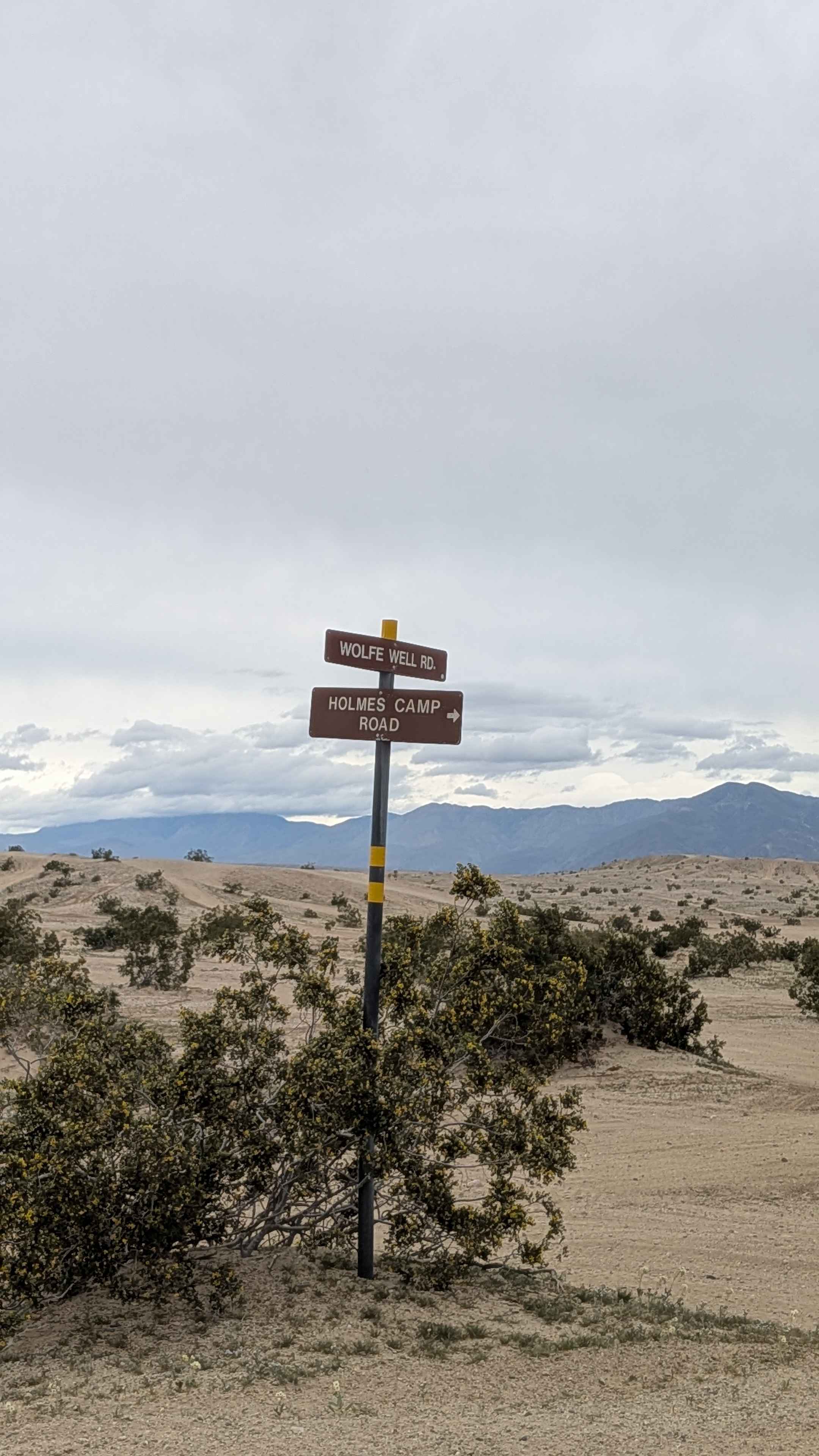
Holmes Camp Road
Total Miles
2.0
Tech Rating
Easy
Best Time
Winter, Fall, Spring
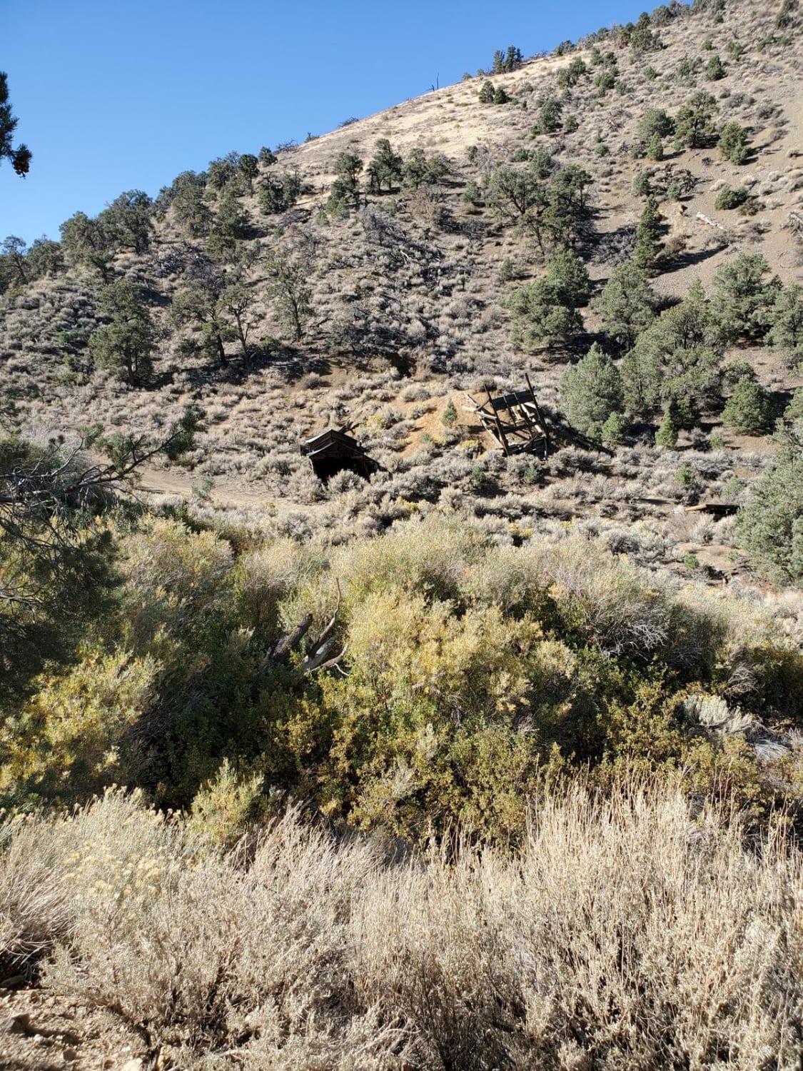
Learn more about Horse Camp Road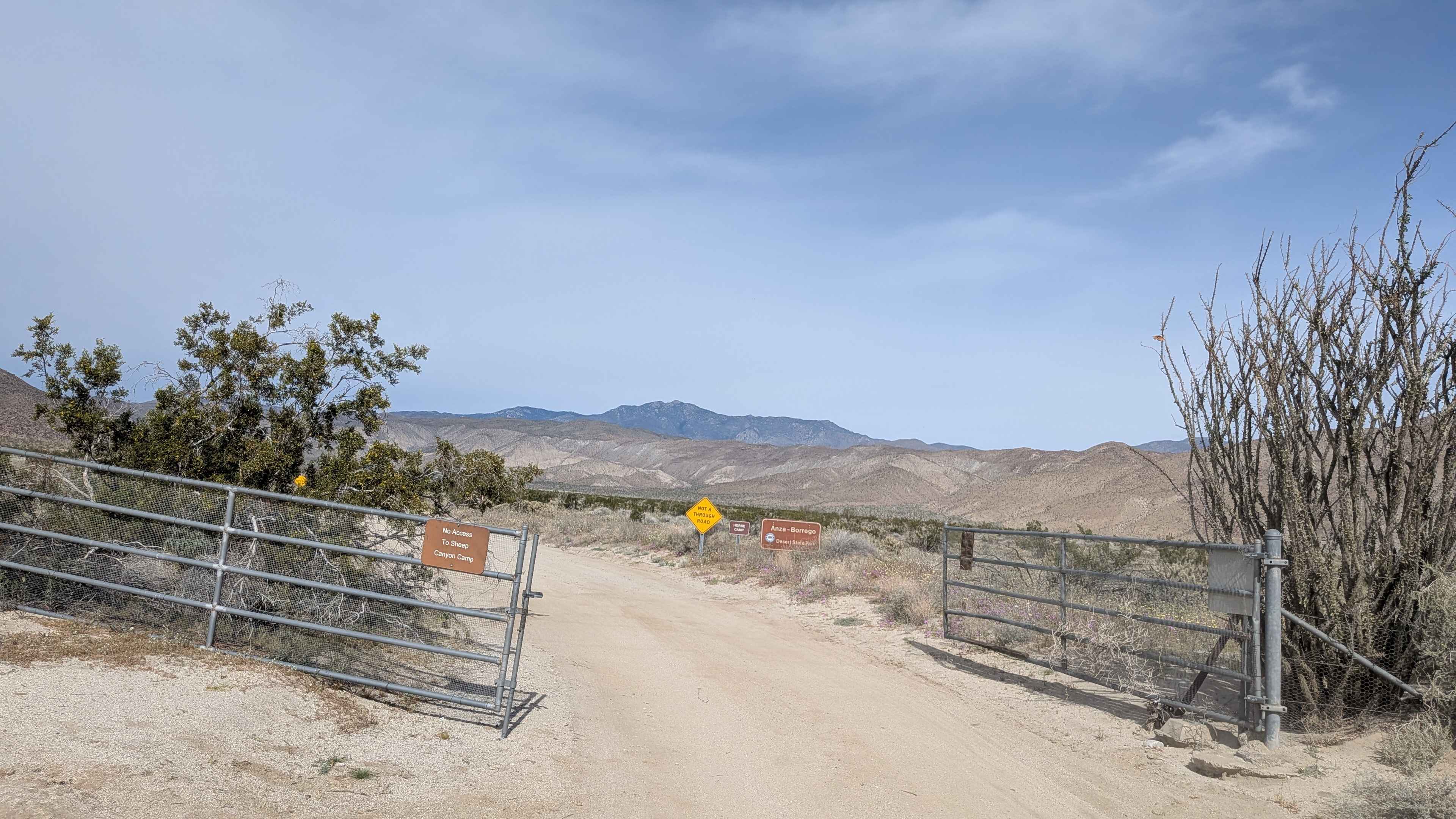
Horse Camp Road
Total Miles
1.6
Tech Rating
Easy
Best Time
Fall, Winter, Spring
Learn more about Horse Canyon Trail 17E21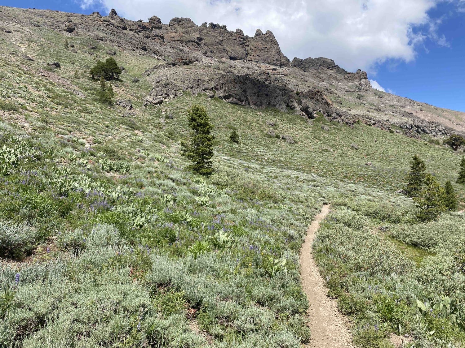
Horse Canyon Trail 17E21
Total Miles
5.5
Tech Rating
Difficult
Best Time
Summer, Fall
Learn more about Horse Meadows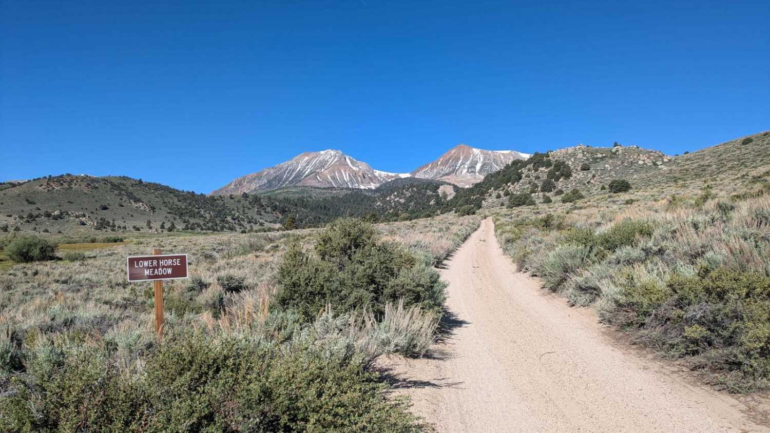
Horse Meadows
Total Miles
1.5
Tech Rating
Easy
Best Time
Fall, Summer, Spring
Learn more about Horse Thief Canyon
Horse Thief Canyon
Total Miles
8.4
Tech Rating
Easy
Best Time
Spring, Summer, Fall, Winter
Learn more about Horsethief Flats - 3n03A
Horsethief Flats - 3n03A
Total Miles
3.2
Tech Rating
Moderate
Best Time
Summer, Fall, Spring
Learn more about Hot Creek Crossover
Hot Creek Crossover
Total Miles
1.7
Tech Rating
Easy
Best Time
Spring, Summer, Fall
Learn more about Hot Creek Geological Site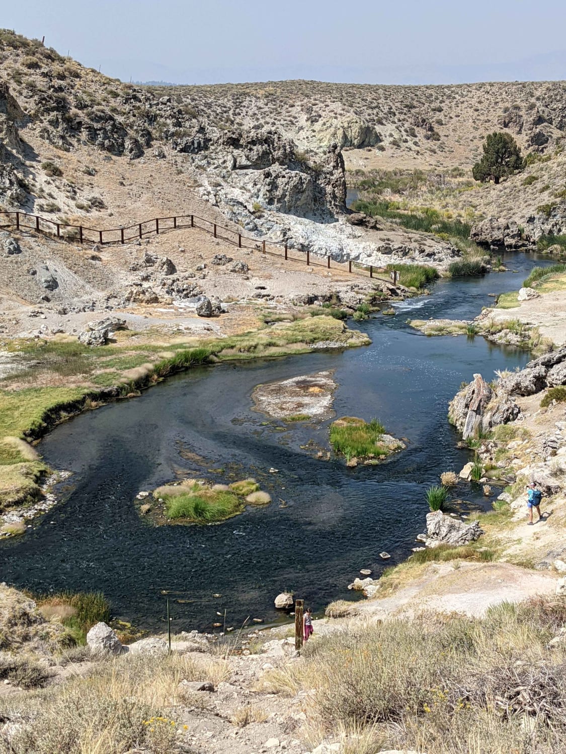
Hot Creek Geological Site
Total Miles
21.0
Tech Rating
Easy
Best Time
Spring, Fall, Summer
Learn more about Hot Creek Hatchery Road 
Hot Creek Hatchery Road
Total Miles
5.0
Tech Rating
Easy
Best Time
Summer, Fall, Spring
Learn more about House Trail
House Trail
Total Miles
0.8
Tech Rating
Moderate
Best Time
Spring, Fall, Summer, Winter
Learn more about Howland Hill Road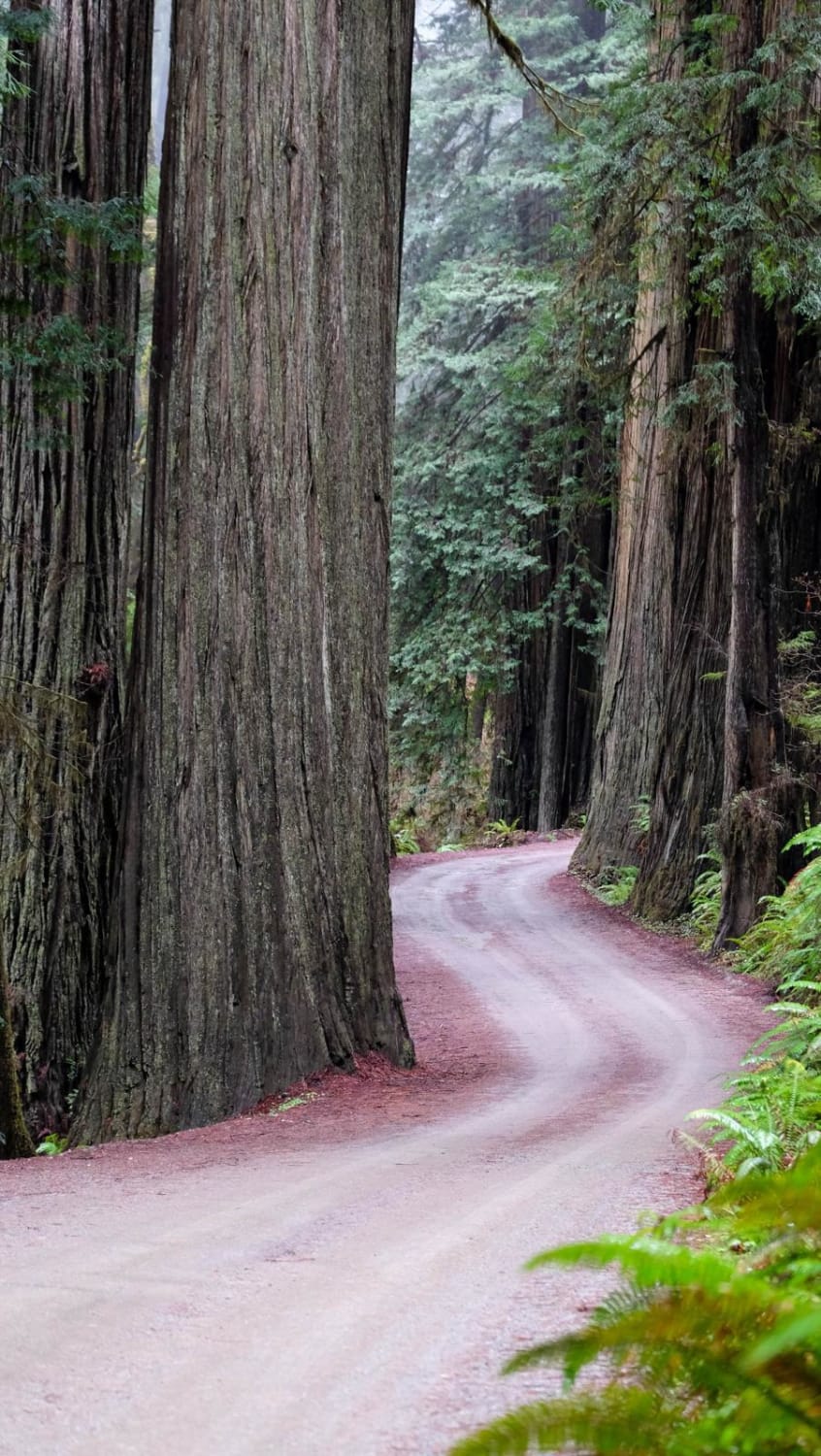
Howland Hill Road
Total Miles
5.1
Tech Rating
Easy
Best Time
Spring, Summer, Fall, Winter
Learn more about Hugh Ryan - FS 6S024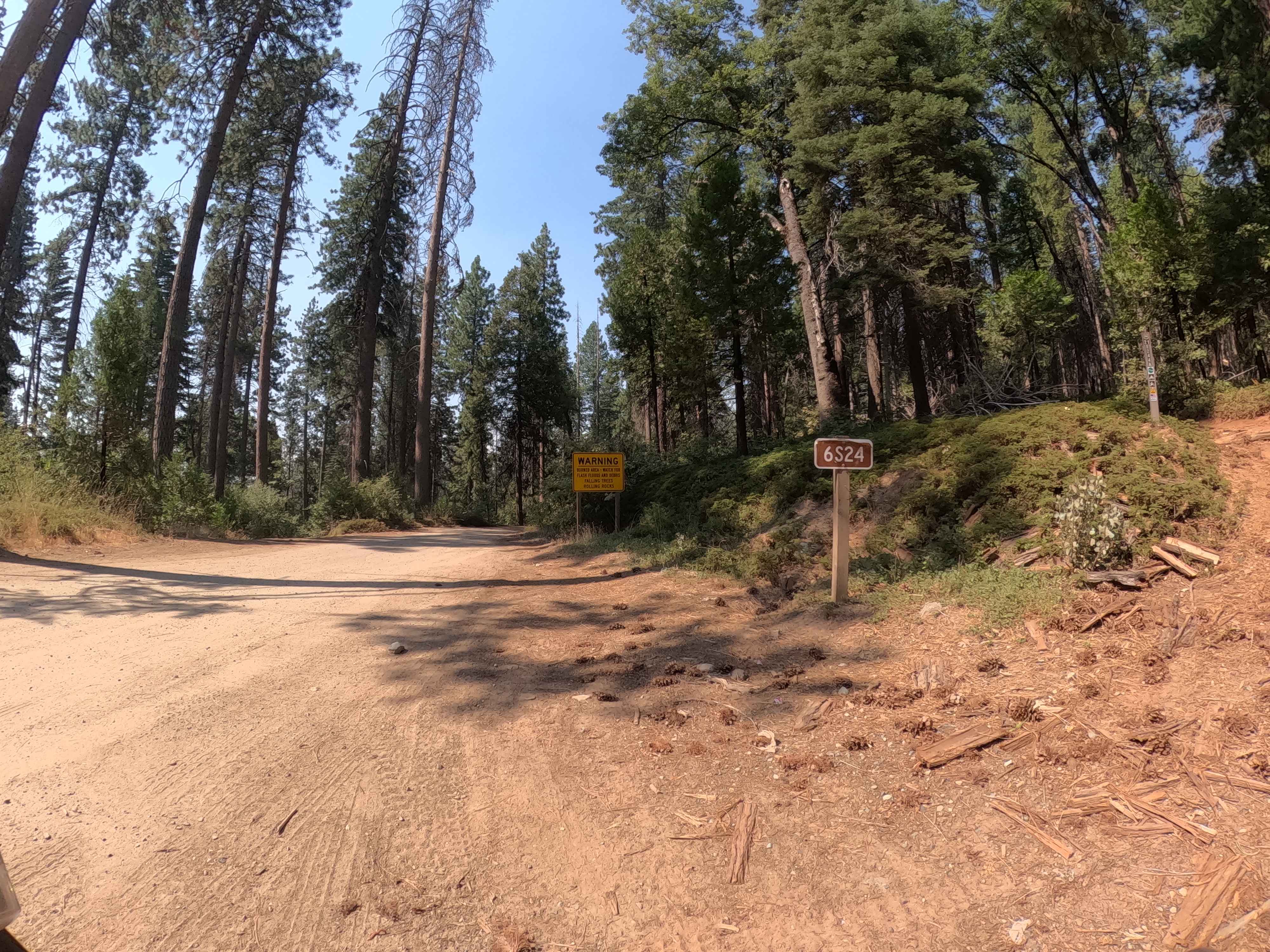
Hugh Ryan - FS 6S024
Total Miles
3.7
Tech Rating
Easy
Best Time
Spring, Summer, Fall
Learn more about Hull Mountain Trail
Hull Mountain Trail
Total Miles
7.2
Tech Rating
Easy
Best Time
Summer, Fall
Learn more about Hulls Meadow 
Hulls Meadow
Total Miles
7.7
Tech Rating
Moderate
Best Time
Spring, Summer, Fall
Learn more about Hungry Valley 4x4 Playground
Hungry Valley 4x4 Playground
Total Miles
9.7
Tech Rating
Moderate
Best Time
Spring, Summer, Fall, Winter
ATV trails in California


UTV/side-by-side trails in California


Learn more about 3N267 Fenner Saddle (4N12)
3N267 Fenner Saddle (4N12)
Total Miles
3.8
Tech Rating
Difficult
Best Time
Spring, Summer, Fall, Winter

The onX Offroad Difference
onX Offroad combines trail photos, descriptions, difficulty ratings, width restrictions, seasonality, and more in a user-friendly interface. Available on all devices, with offline access and full compatibility with CarPlay and Android Auto. Discover what you’re missing today!