Off-Road Trails in California
Discover off-road trails in California
Learn more about Gooseneck - FS 8s09g
Gooseneck - FS 8s09g
Total Miles
0.3
Tech Rating
Easy
Best Time
Summer, Fall
Learn more about Grandview Mine Road - 7S129
Grandview Mine Road - 7S129
Total Miles
1.8
Tech Rating
Easy
Best Time
Summer, Fall, Spring
Learn more about Granite Boulder Scenic Road - FS 4S40
Granite Boulder Scenic Road - FS 4S40
Total Miles
2.0
Tech Rating
Easy
Best Time
Summer, Fall, Spring
Learn more about Granite Creek - FS 5S030
Granite Creek - FS 5S030
Total Miles
7.5
Tech Rating
Easy
Best Time
Summer, Fall
Learn more about Granite View Loop
Granite View Loop
Total Miles
2.0
Tech Rating
Difficult
Best Time
Summer, Fall
Learn more about Grant Lake Cutoff
Grant Lake Cutoff
Total Miles
1.1
Tech Rating
Easy
Best Time
Summer, Fall
Learn more about Grant Lake Road - FS 1S30
Grant Lake Road - FS 1S30
Total Miles
3.9
Tech Rating
Easy
Best Time
Summer, Fall
Learn more about Grapevine Canyon Trail
Grapevine Canyon Trail
Total Miles
13.0
Tech Rating
Easy
Best Time
Spring, Summer, Fall, Winter
Learn more about Grass Mountain Summit
Grass Mountain Summit
Total Miles
2.6
Tech Rating
Easy
Best Time
Spring, Summer, Fall, Winter
Learn more about Graveyard Creek - FS 5S055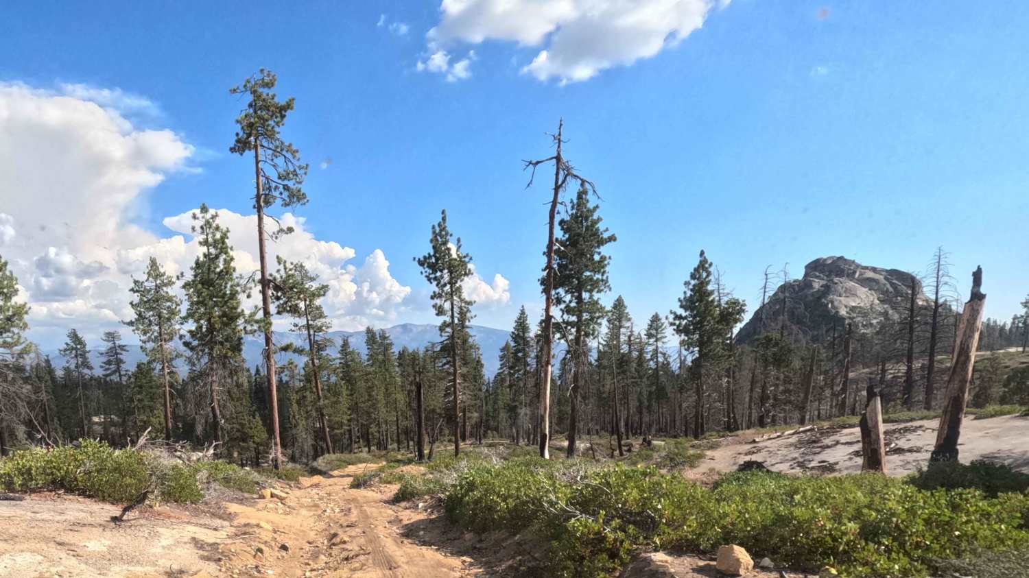
Graveyard Creek - FS 5S055
Total Miles
2.6
Tech Rating
Easy
Best Time
Summer, Fall
Learn more about Green Creek Road - FS 32146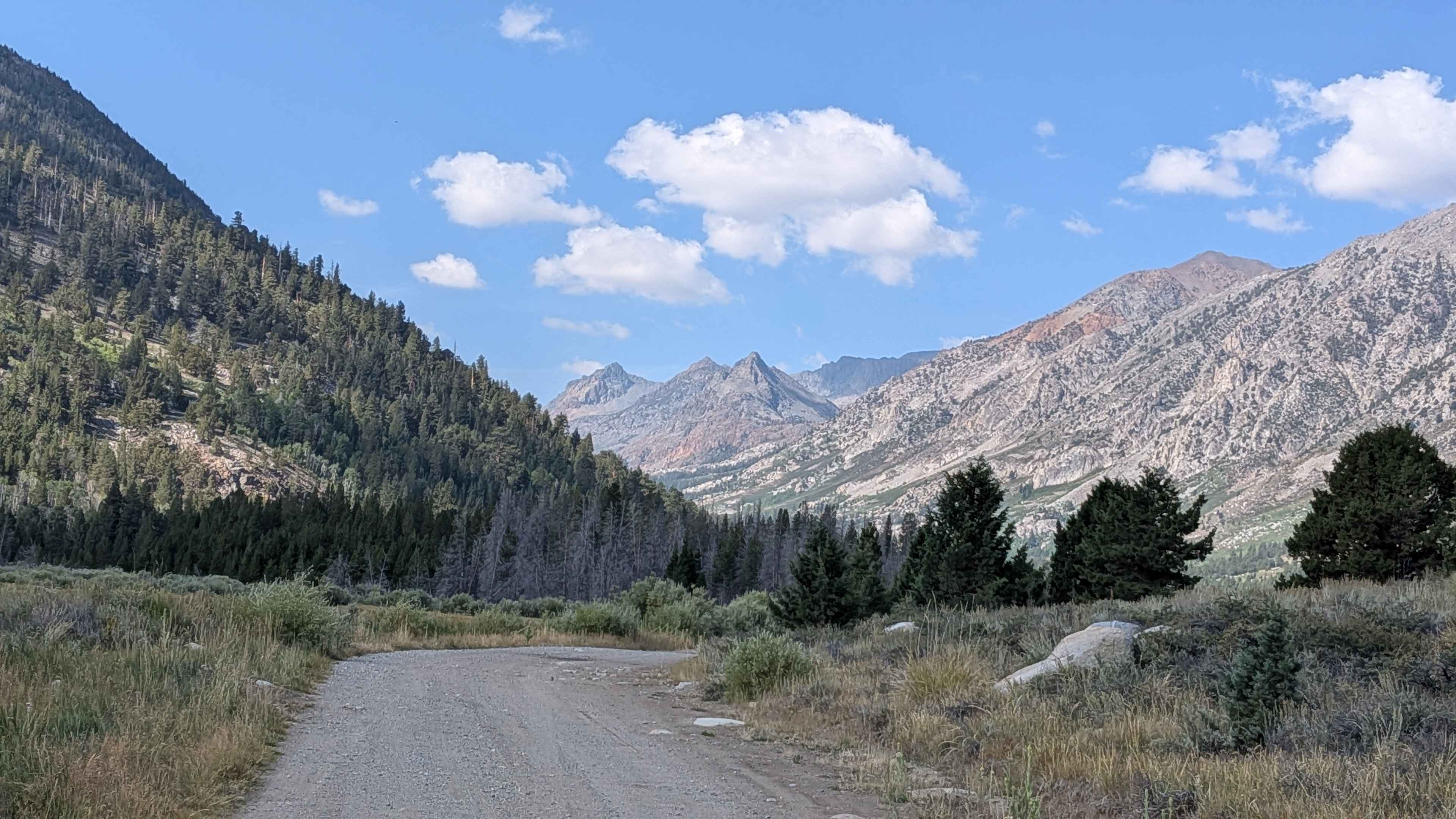
Green Creek Road - FS 32146
Total Miles
5.4
Tech Rating
Easy
Best Time
Summer, Fall
Learn more about Green Mountain - FS 25E206
Green Mountain - FS 25E206
Total Miles
1.4
Tech Rating
Easy
Best Time
Summer, Fall
Learn more about Green Valley Bypass - FS 2N54
Green Valley Bypass - FS 2N54
Total Miles
1.8
Tech Rating
Easy
Best Time
Spring, Summer, Fall
Learn more about Greys Mountain - FS 6S008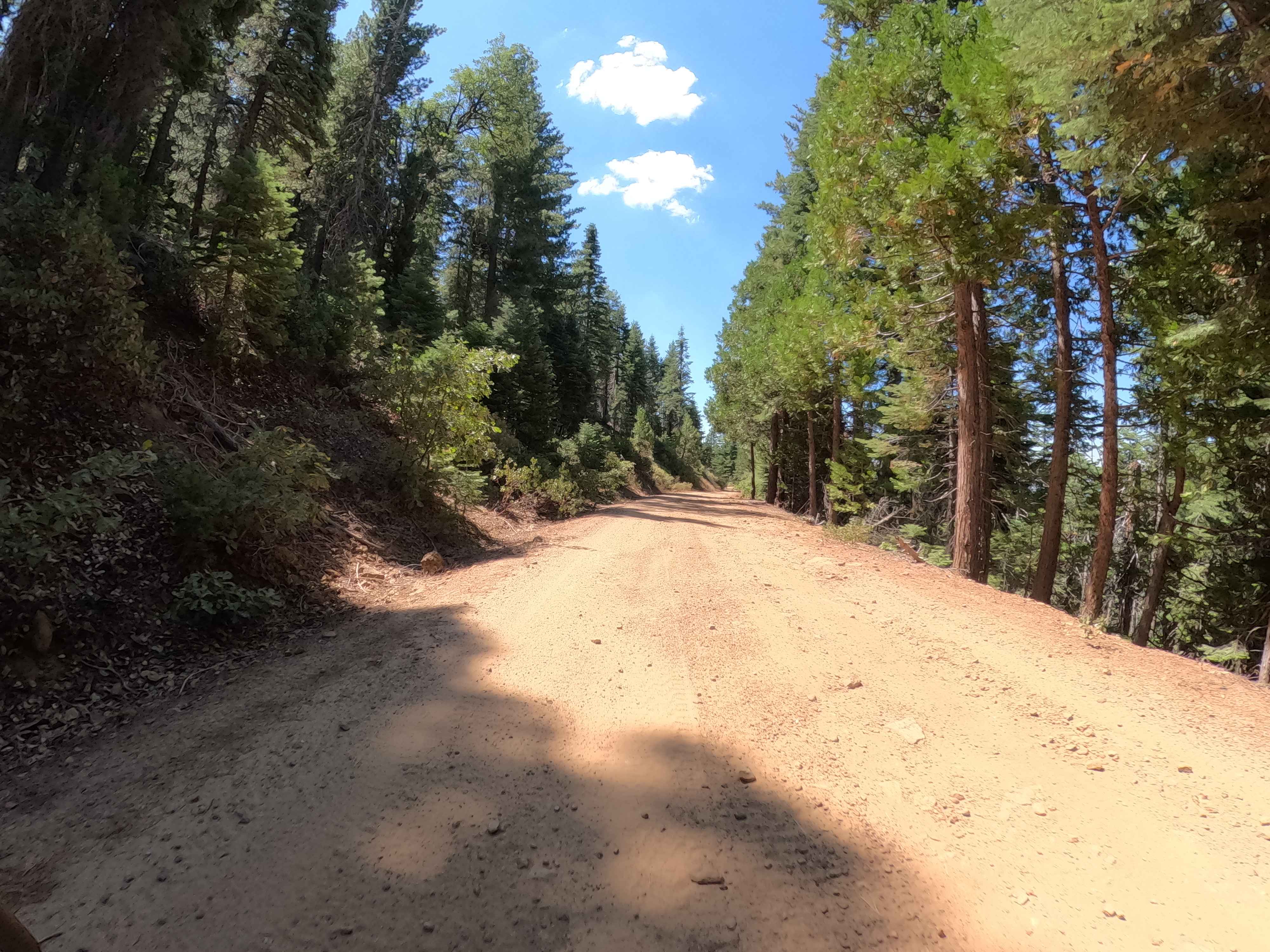
Greys Mountain - FS 6S008
Total Miles
7.0
Tech Rating
Easy
Best Time
Summer, Fall
Learn more about Gunslinger Trail #11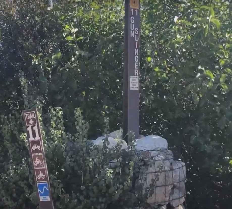
Gunslinger Trail #11
Total Miles
1.9
Tech Rating
Easy
Best Time
Spring, Summer, Fall, Winter
ATV trails in California


UTV/side-by-side trails in California


Learn more about 3N267 Fenner Saddle (4N12)
3N267 Fenner Saddle (4N12)
Total Miles
3.8
Tech Rating
Difficult
Best Time
Spring, Summer, Fall, Winter

The onX Offroad Difference
onX Offroad combines trail photos, descriptions, difficulty ratings, width restrictions, seasonality, and more in a user-friendly interface. Available on all devices, with offline access and full compatibility with CarPlay and Android Auto. Discover what you’re missing today!