Grizzly Ridge
Total Miles
1.8
Technical Rating
Best Time
Spring, Fall
Trail Type
50" Trail
Accessible By
Trail Overview
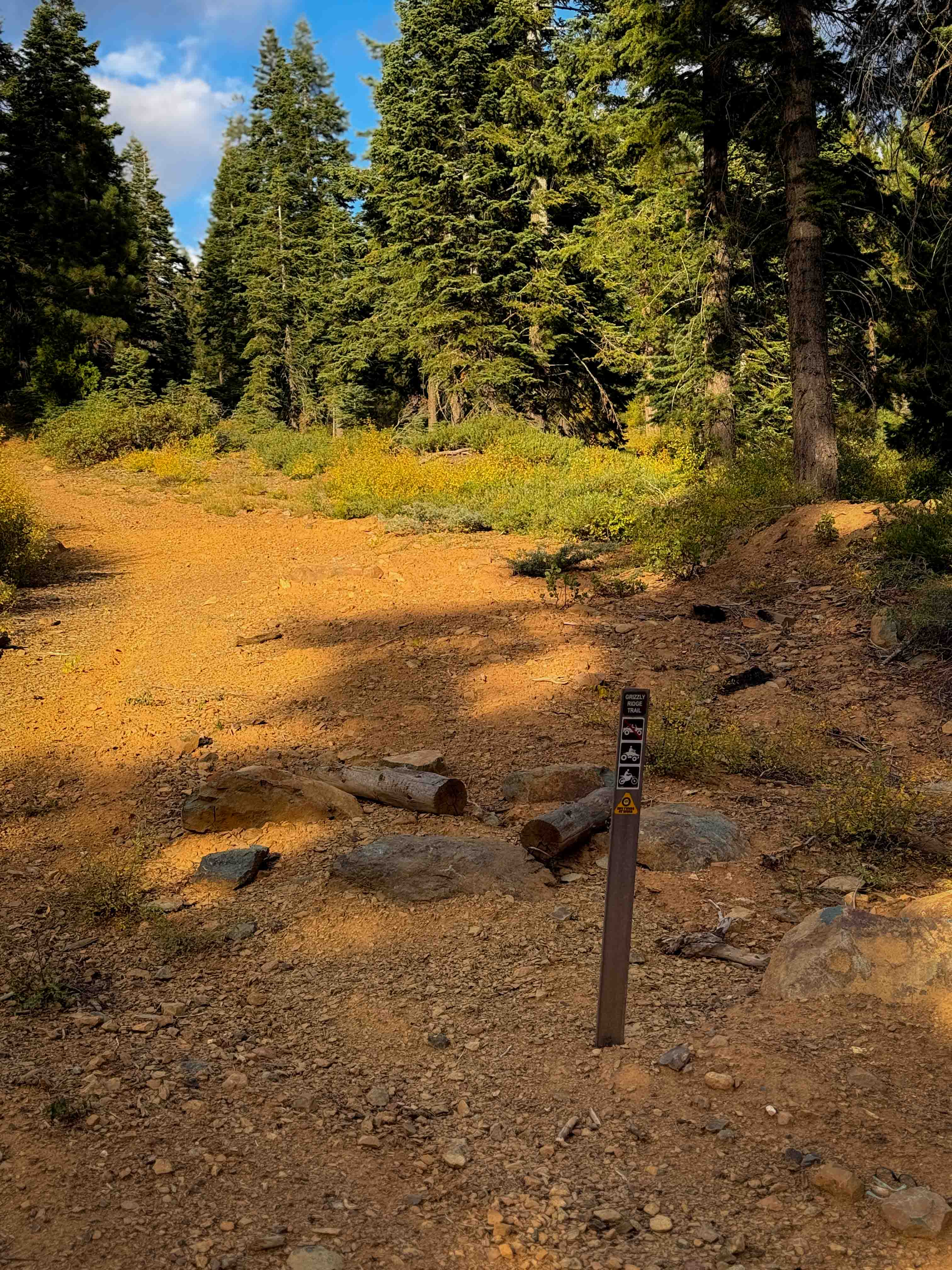
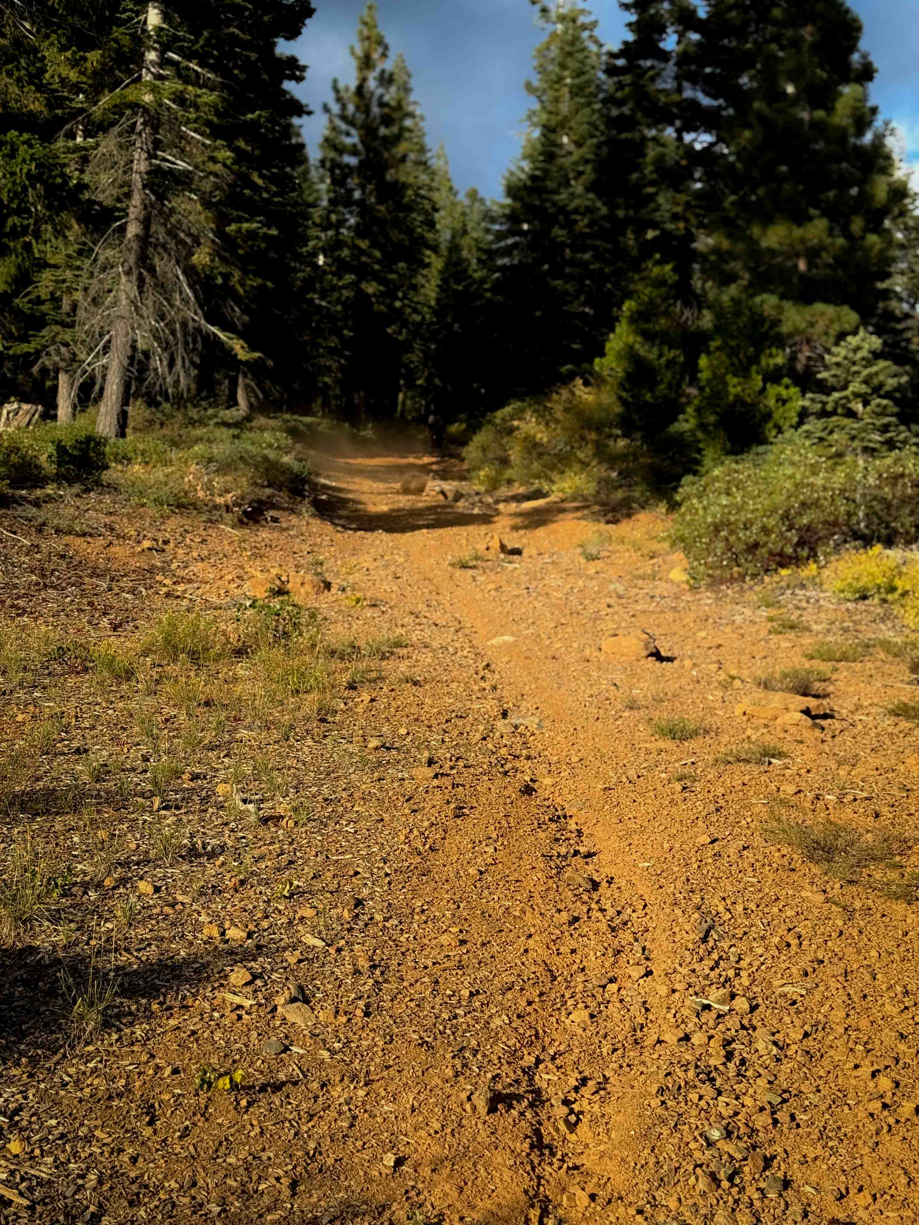
This is one of only a couple ATV options within the Mount Hough trail system. It is 1.9 miles long, and starts out on the west end by climbing straight up a hillside on a more primitive trail that looks like it used to be a road. It's pretty smooth with a few ruts. It narrows up about half way through into more of a two-track that keeps climbing with tighter turns, and becomes shelfy and narrow. It looks more like a singletrack for the upper portion of the route. It crosses a road and continues climbing, cutting across the hillside on another shelfy and narrow path with small loose rocks, but no big obstacles, until it ends on a forest road. There has been a lot of trail work done on this route with big waterbars, and marking the route by lining it with logs in spots, and a section of poured rock to help with drainage. It is marked with the vehicle designation on the south end for ATVs, but not on the north end.
Photos of Grizzly Ridge
Difficulty
This is an easy trail because it is mostly gradual, with no big obstacles, and only some small loose rocks. However, it will be somewhat narrow for ATVs in the eastern half of the trail as it is shelfy and narrow.
Status Reports
Grizzly Ridge can be accessed by the following ride types:
- ATV (50")
- Dirt Bike
Grizzly Ridge Map
Popular Trails


Power Line Road NW
Old Letts - FS 17N12
The onX Offroad Difference
onX Offroad combines trail photos, descriptions, difficulty ratings, width restrictions, seasonality, and more in a user-friendly interface. Available on all devices, with offline access and full compatibility with CarPlay and Android Auto. Discover what you’re missing today!