Off-Road Trails in California
Discover off-road trails in California
Learn more about Fun Boundary Rip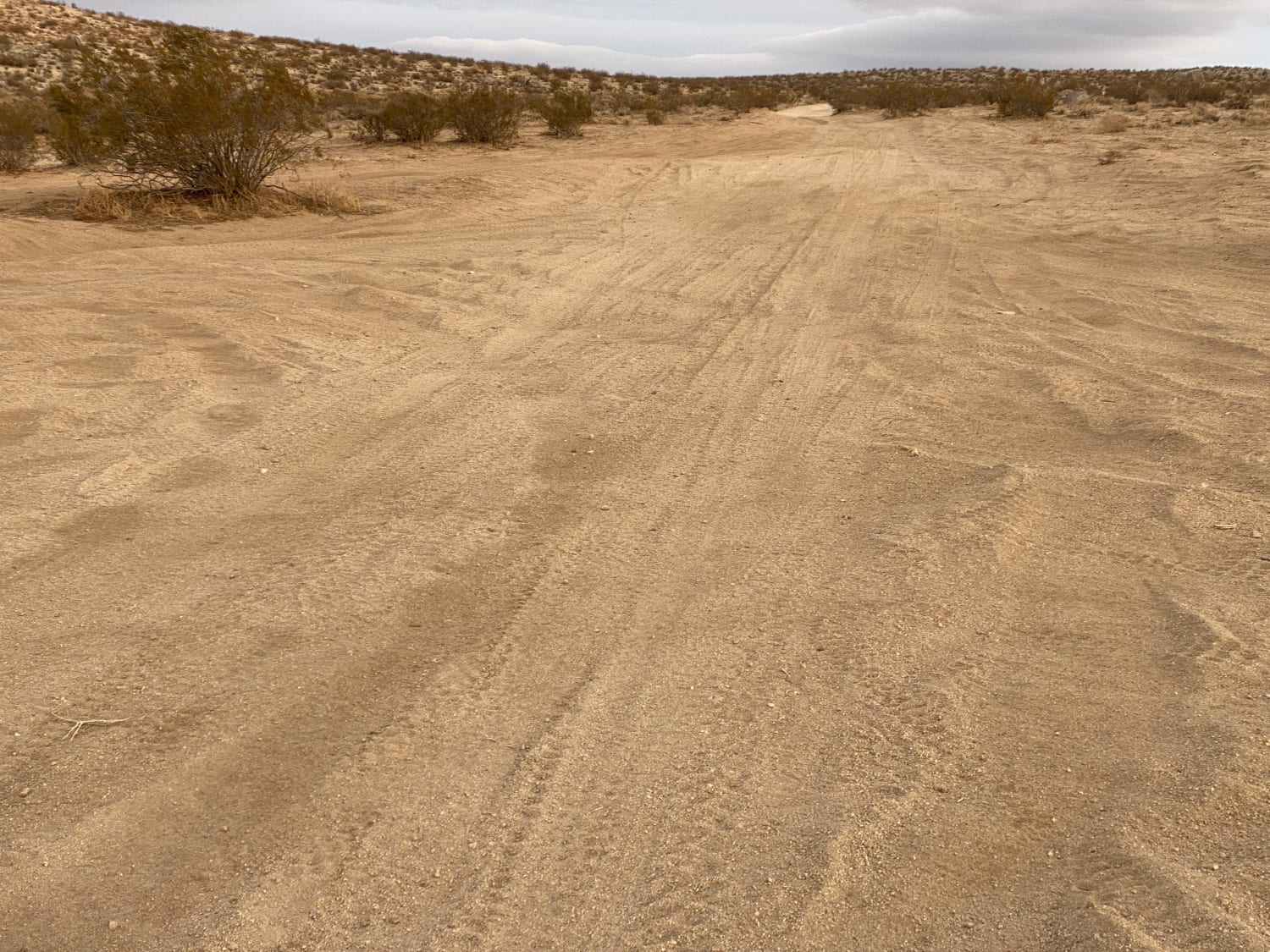
Fun Boundary Rip
Total Miles
2.4
Tech Rating
Easy
Best Time
Winter, Summer, Spring
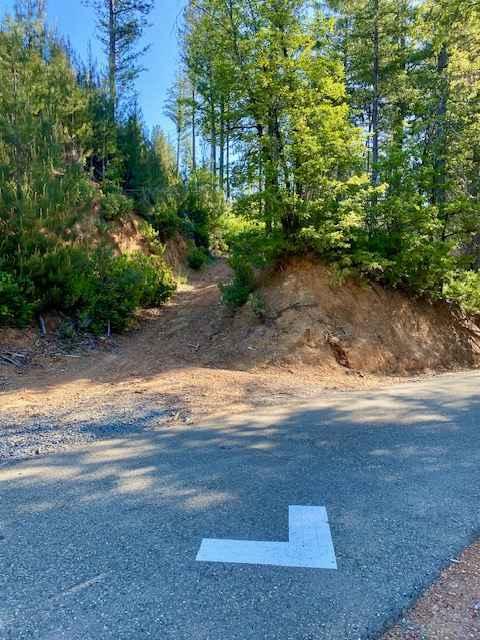
Learn more about Funeral Mountains Trail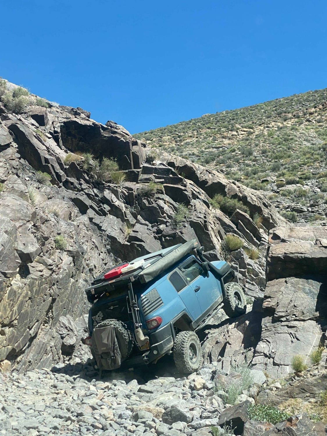
Funeral Mountains Trail
Total Miles
11.5
Tech Rating
Moderate
Best Time
Fall, Spring, Winter
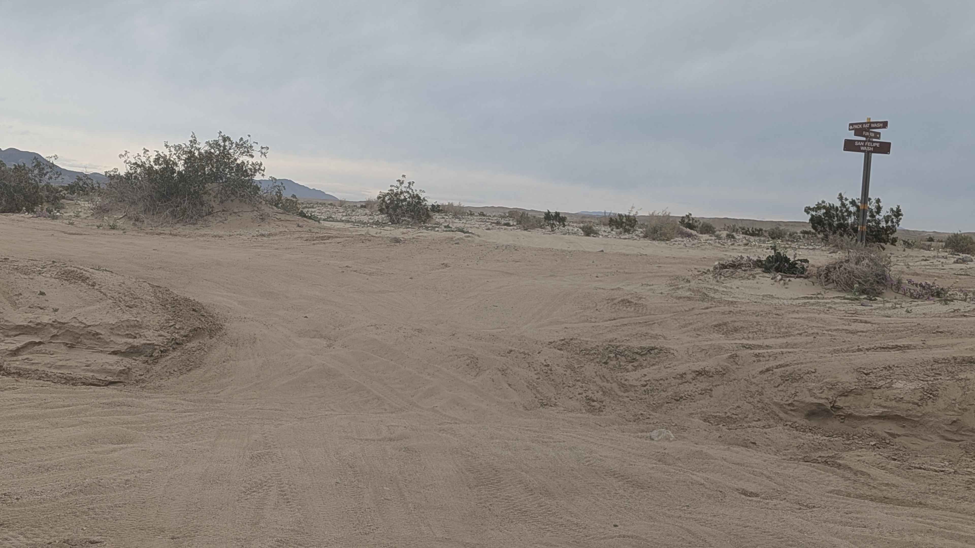
Learn more about Funnel Lake - 32E304A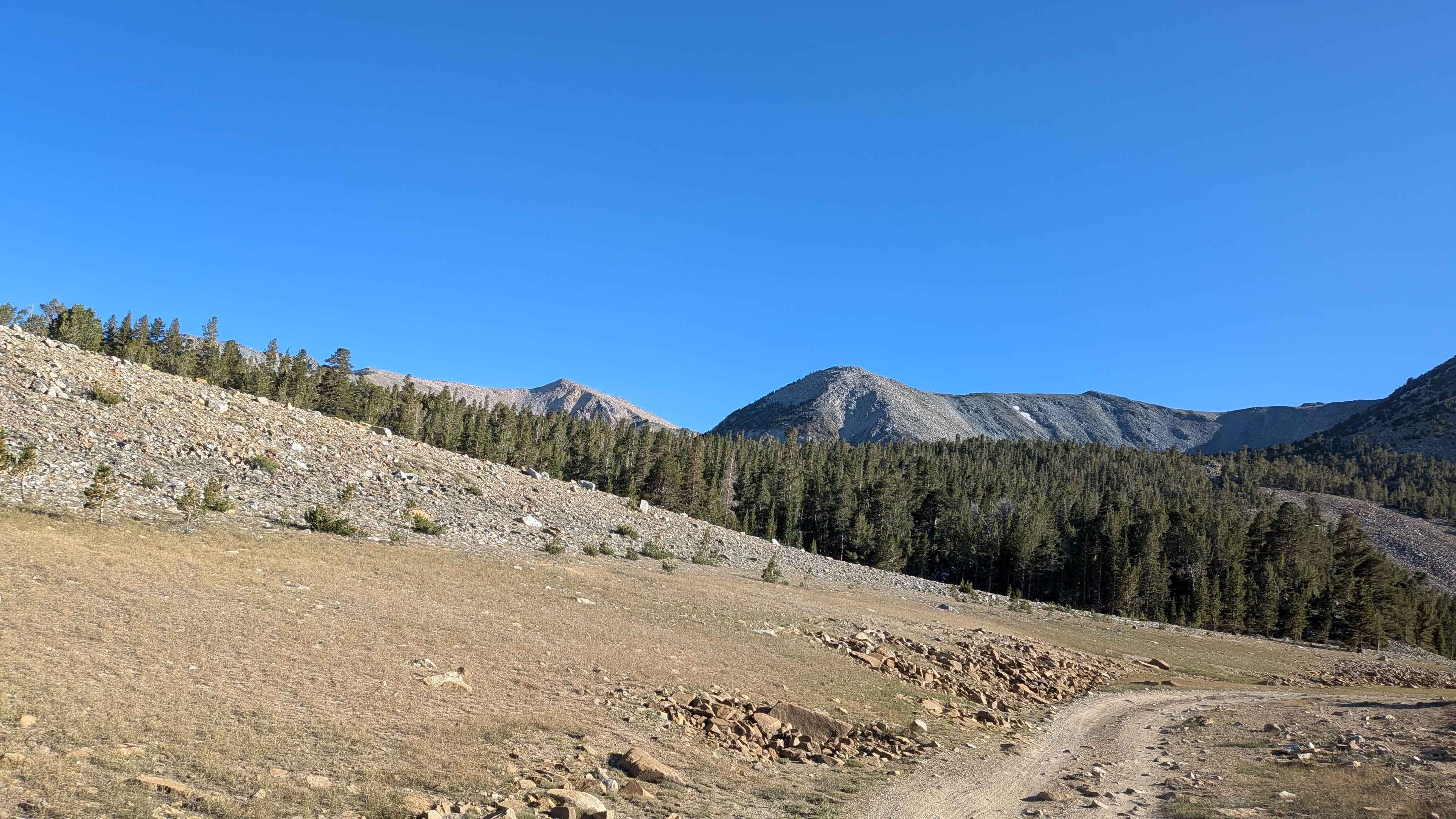
Funnel Lake - 32E304A
Total Miles
0.3
Tech Rating
Easy
Best Time
Fall, Summer
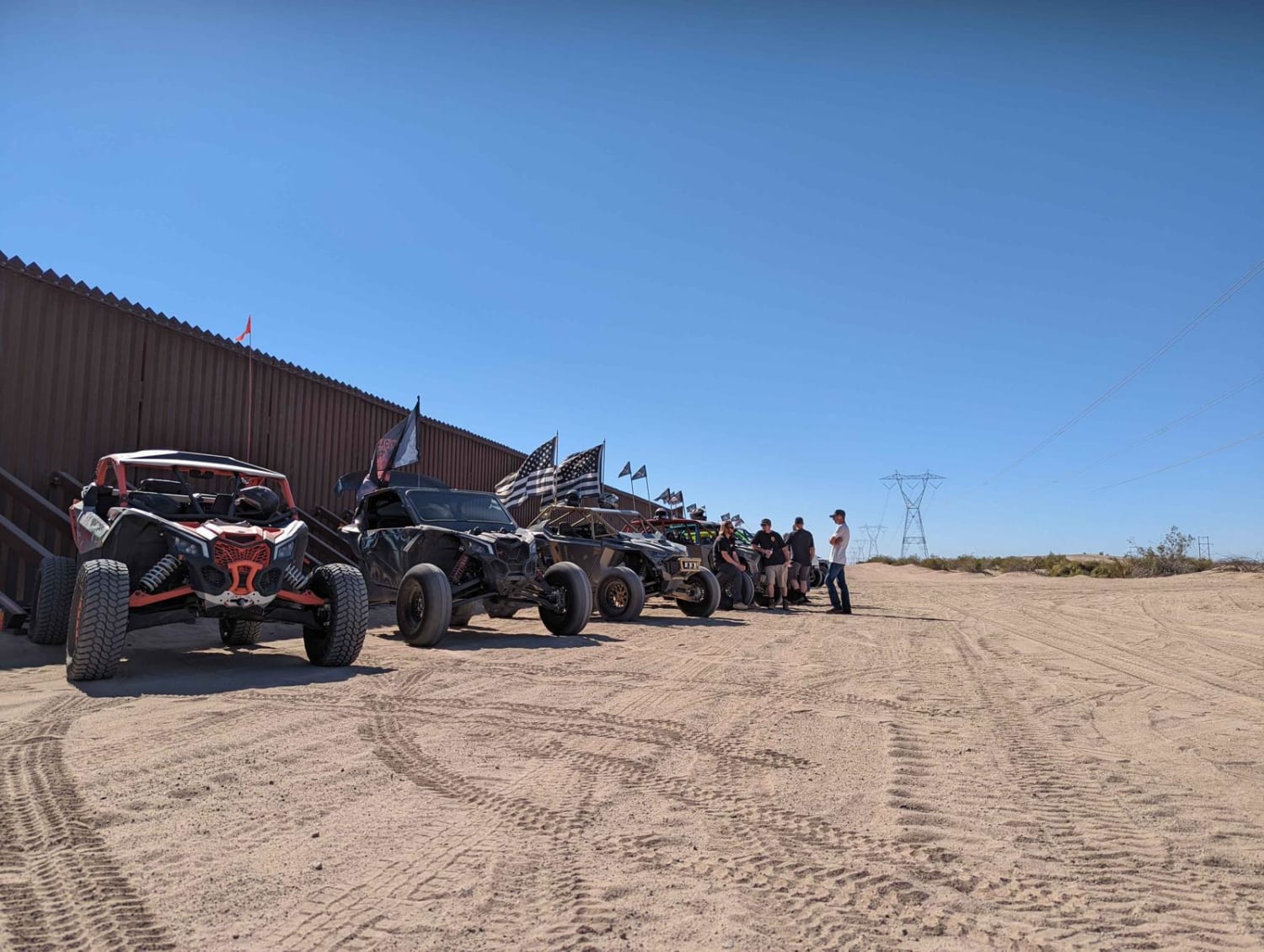
Learn more about Funnel Lake Loop - 32E304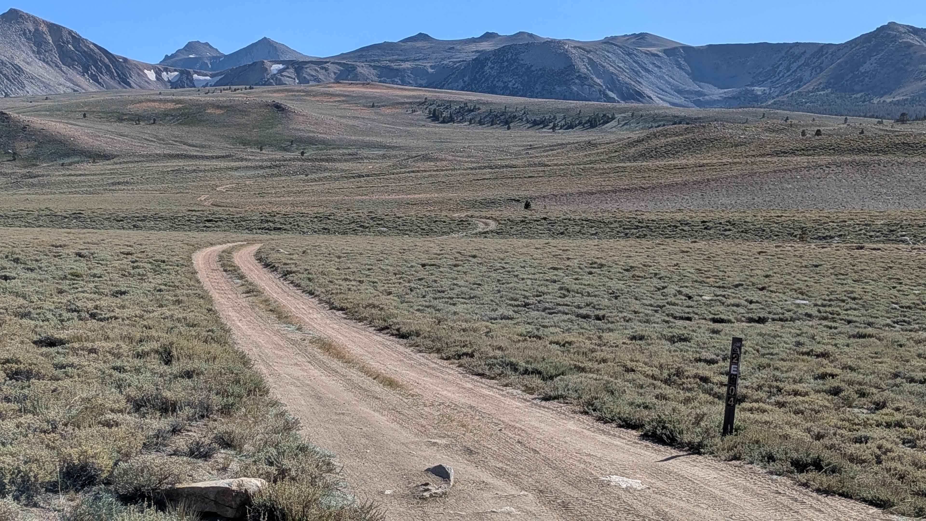
Funnel Lake Loop - 32E304
Total Miles
4.5
Tech Rating
Moderate
Best Time
Fall, Summer
Learn more about Gaging Station - FS 22396
Gaging Station - FS 22396
Total Miles
1.0
Tech Rating
Easy
Best Time
Fall, Summer, Spring
Learn more about Gargoyle Canyon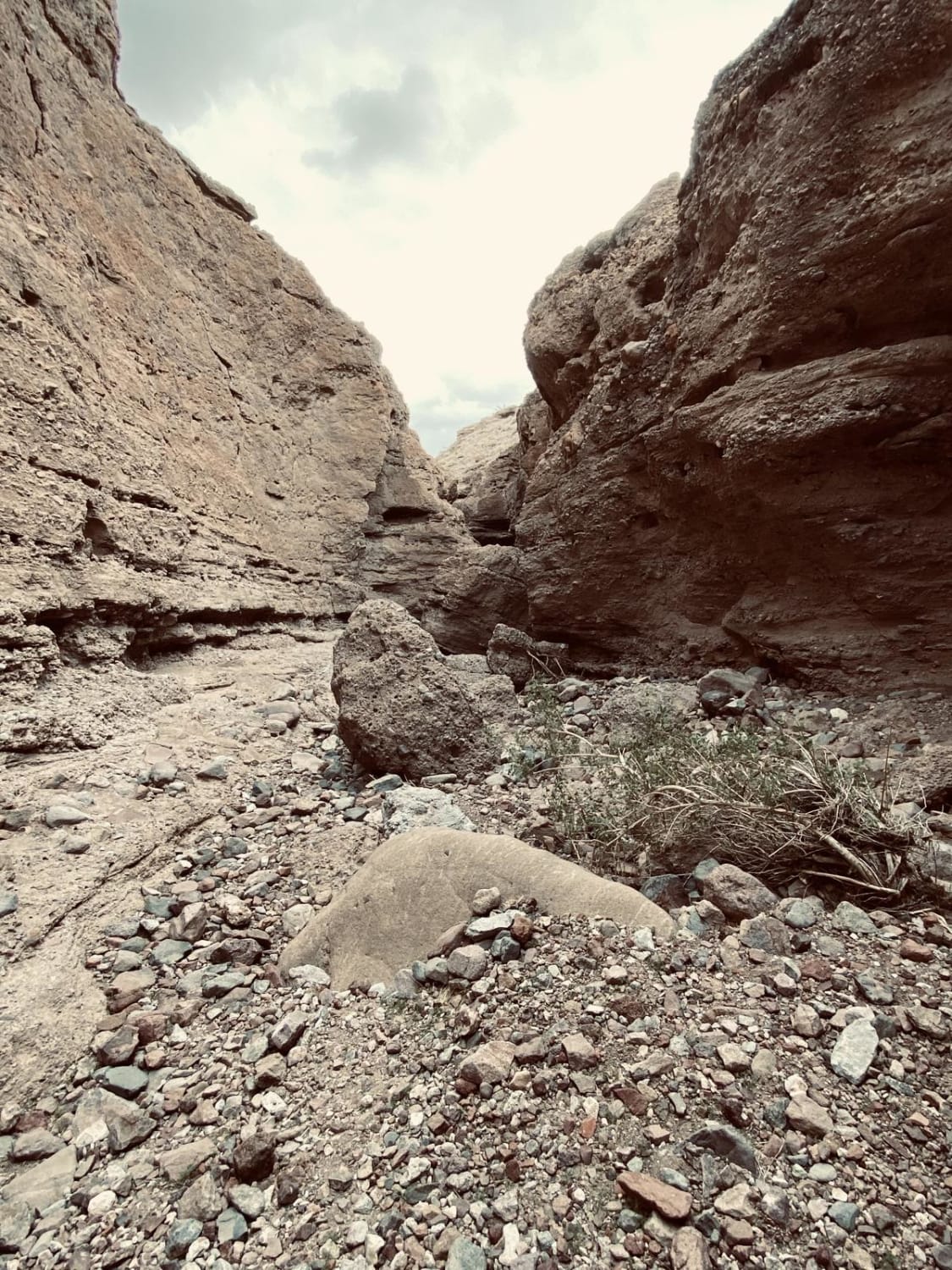
Gargoyle Canyon
Total Miles
0.6
Tech Rating
Moderate
Best Time
Spring, Summer, Fall, Winter
Learn more about Gas Dome Trail
Gas Dome Trail
Total Miles
9.6
Tech Rating
Easy
Best Time
Spring, Summer, Winter
Learn more about Gas Line Road North 281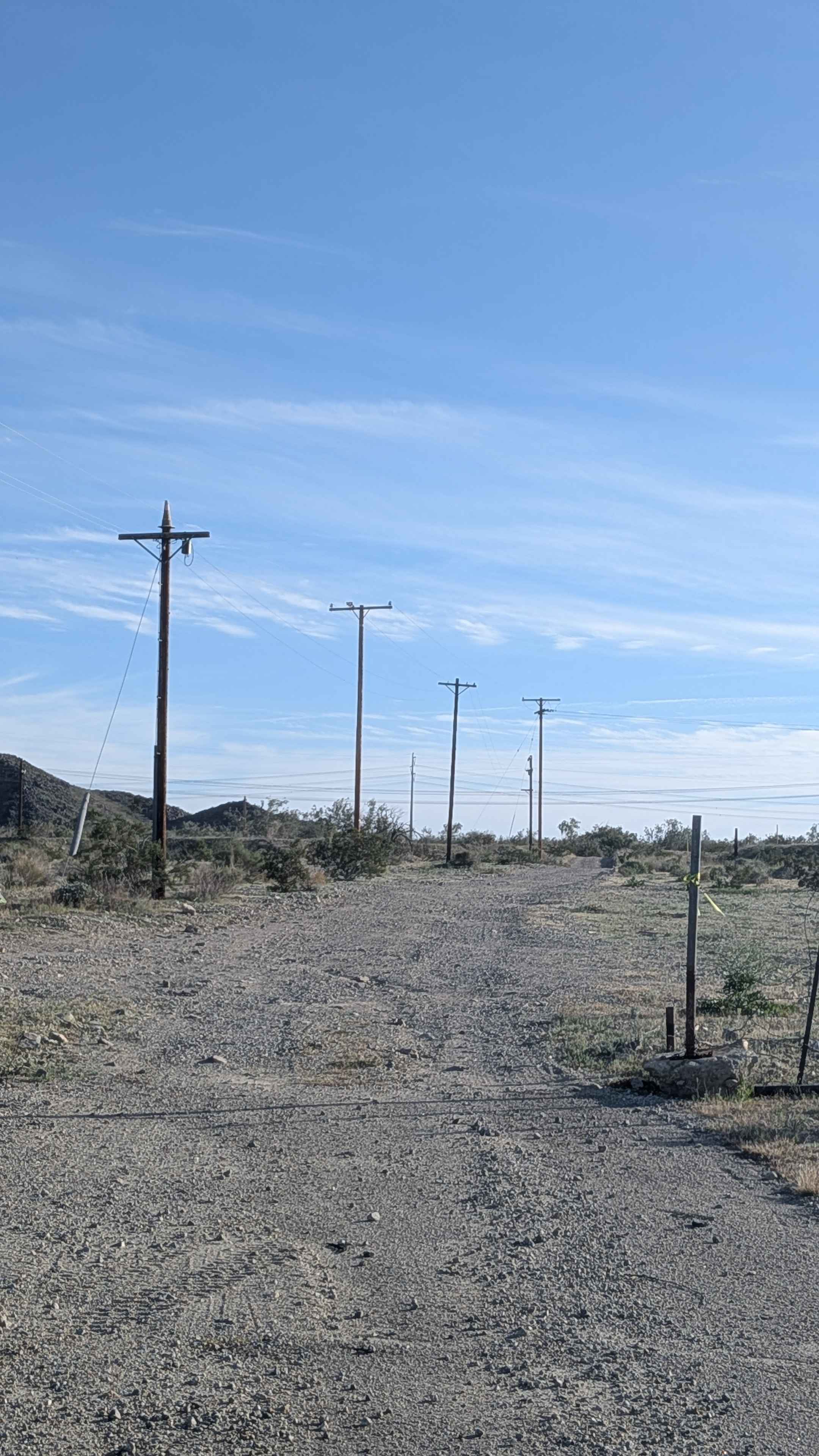
Gas Line Road North 281
Total Miles
11.1
Tech Rating
Easy
Best Time
Fall, Winter, Spring
Learn more about Gasquet Mountain Road - FSR 17N49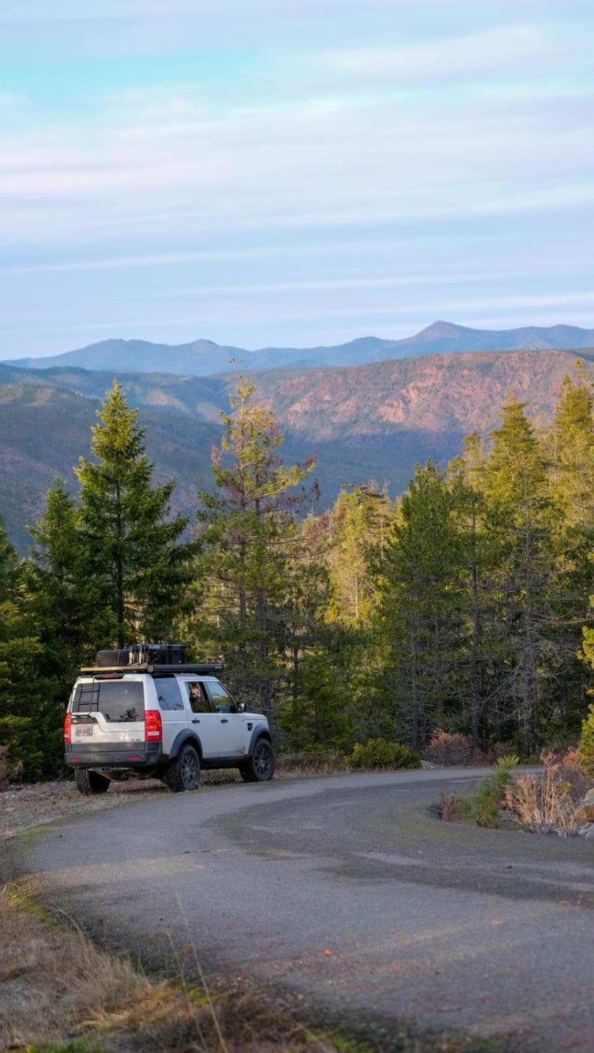
Gasquet Mountain Road - FSR 17N49
Total Miles
7.0
Tech Rating
Easy
Best Time
Spring, Summer, Fall, Winter
Learn more about Geology Tour Road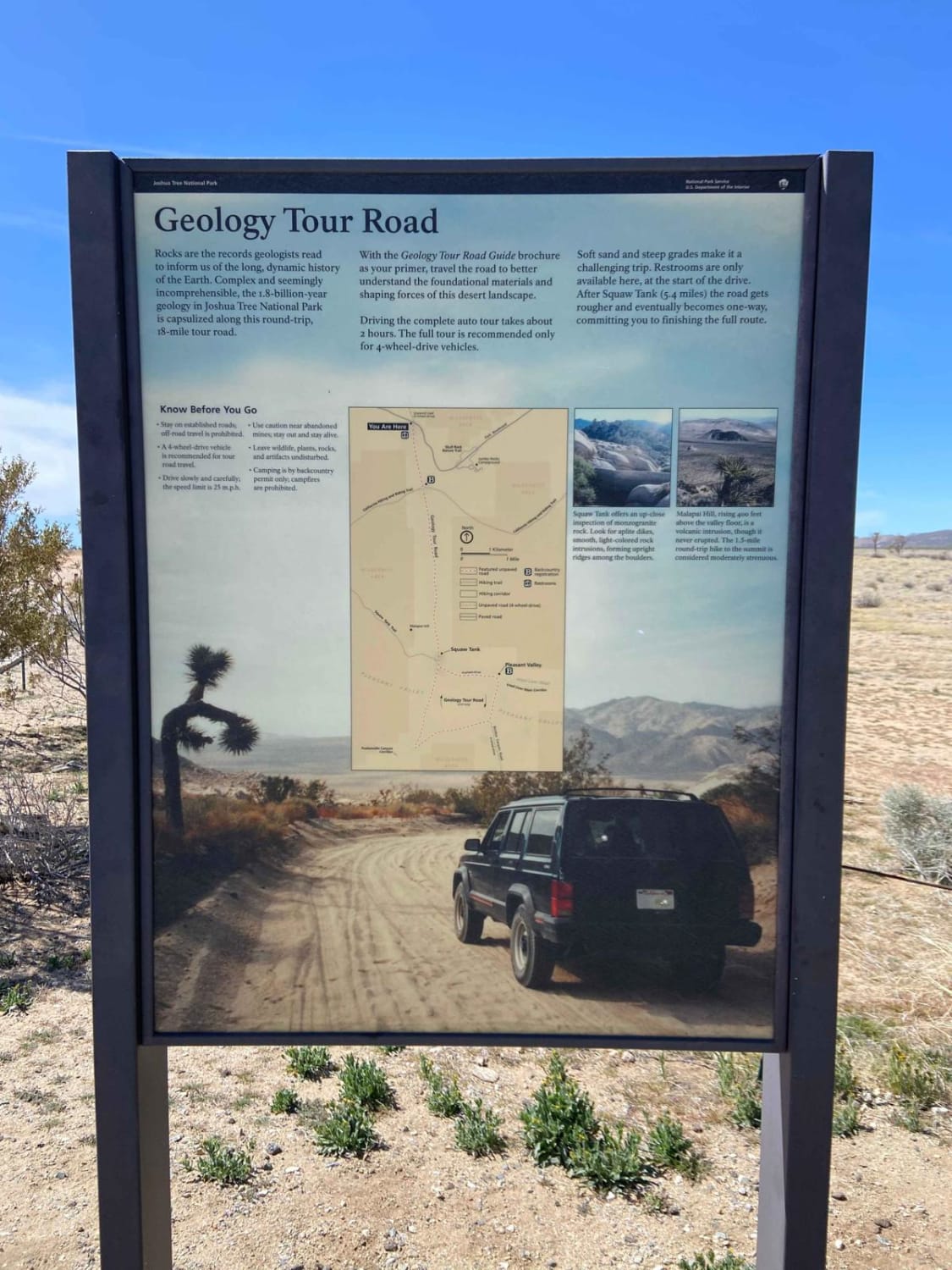
Geology Tour Road
Total Miles
9.2
Tech Rating
Easy
Best Time
Spring, Fall, Winter
Learn more about Gettysburg Trail
Gettysburg Trail
Total Miles
3.4
Tech Rating
Easy
Best Time
Spring, Fall, Summer, Winter
Learn more about Giant Gap (FS 26-006)
Giant Gap (FS 26-006)
Total Miles
2.5
Tech Rating
Easy
Best Time
Spring, Summer, Fall
Learn more about Giant Hyssop - FS 6S026X
Giant Hyssop - FS 6S026X
Total Miles
2.7
Tech Rating
Easy
Best Time
Summer, Fall
Learn more about Giant Rock to Means Lakebed
Giant Rock to Means Lakebed
Total Miles
14.7
Tech Rating
Easy
Best Time
Spring, Fall, Winter, Summer
Learn more about Gilbert Ridge (28E213)
Gilbert Ridge (28E213)
Total Miles
4.2
Tech Rating
Easy
Best Time
Fall, Summer, Spring
Learn more about Gimasol Ridge - FS 3S007
Gimasol Ridge - FS 3S007
Total Miles
1.9
Tech Rating
Easy
Best Time
Summer, Fall, Spring
ATV trails in California


UTV/side-by-side trails in California


Learn more about 3N267 Fenner Saddle (4N12)
3N267 Fenner Saddle (4N12)
Total Miles
3.8
Tech Rating
Difficult
Best Time
Spring, Summer, Fall, Winter

The onX Offroad Difference
onX Offroad combines trail photos, descriptions, difficulty ratings, width restrictions, seasonality, and more in a user-friendly interface. Available on all devices, with offline access and full compatibility with CarPlay and Android Auto. Discover what you’re missing today!